
Skip to content
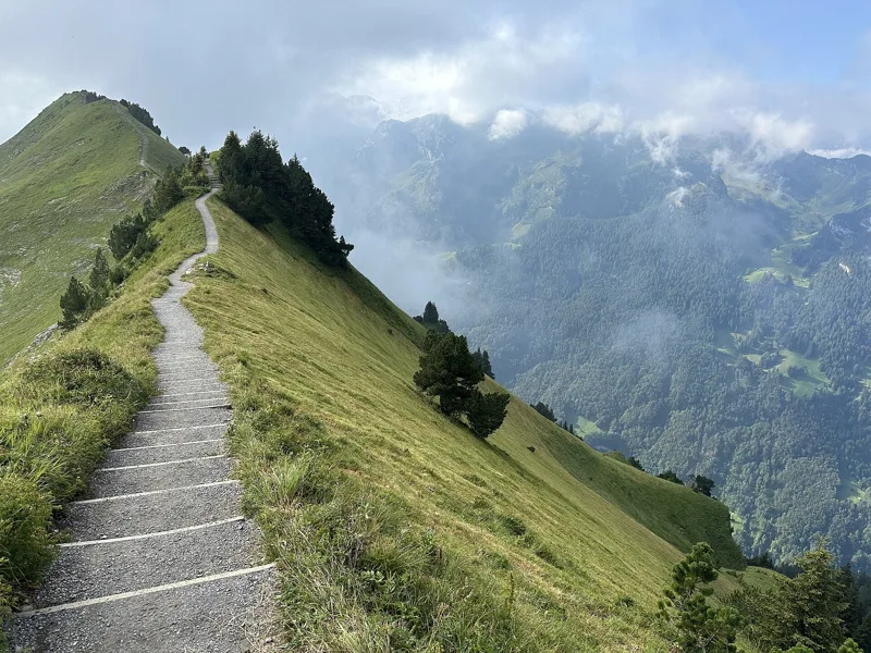
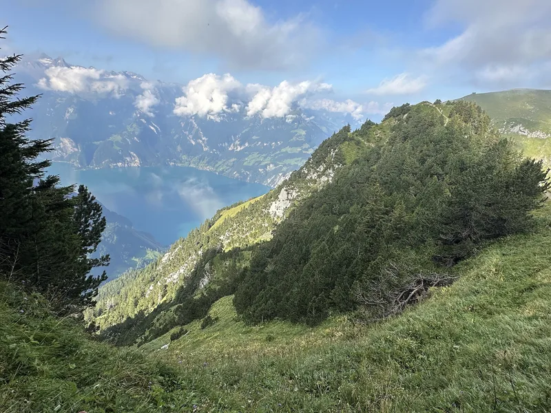
View west from the summit area of Huser Stock along the Fronalpstock chain, with Lake Uri below

Bivio / Central Switzerland

Hiking in Central Switzerland

What to see, what flowers up high, what to eat, and 5 hikes to get there on foot, from 1 h 50 to 7 h 10 of walking.

See first

The spots not to miss, and the hike that takes you there.

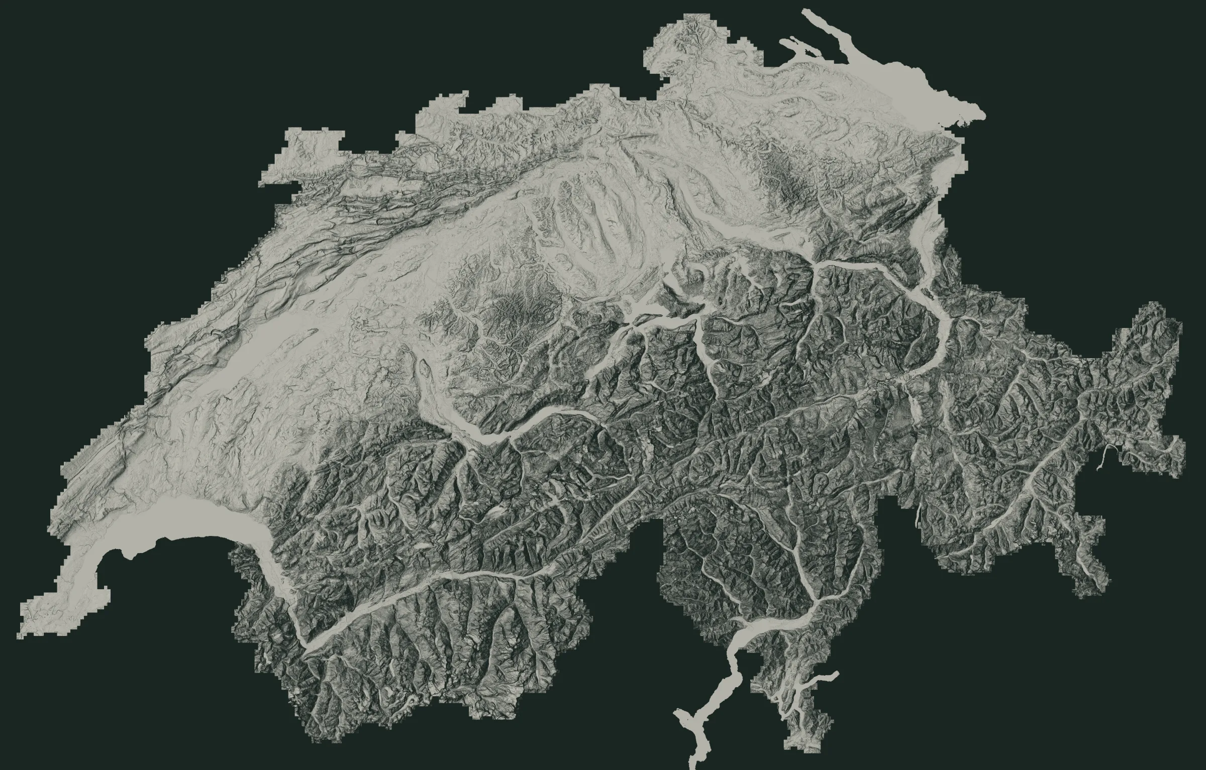
The numbers are the places just below. The white dots are where the hikes start.

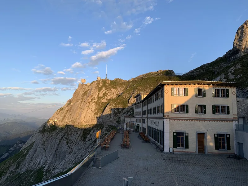
Facade of Hotel Pilatus-Kulm (opened 1890) at Pilatus Kulm in early morning light, with the rocks of the summit ridge behind.

1Pilatus Kulm

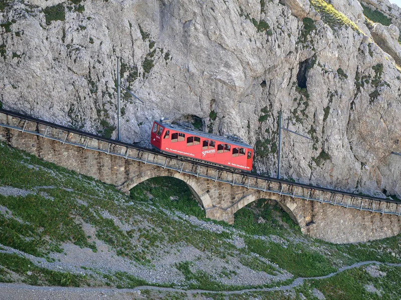
The cogwheel railway up from Alpnachstad climbs gradients of up to 48%: it's billed as the steepest in the world. At the top stands the Hotel Pilatus-Kulm, from 1890, whose banqueting hall is named after Queen Victoria, who spent a night on the summit in 1868.

Getting there on foot

Pilatus Kulm → Langis7 h 10From Pilatus Kulm to Langis
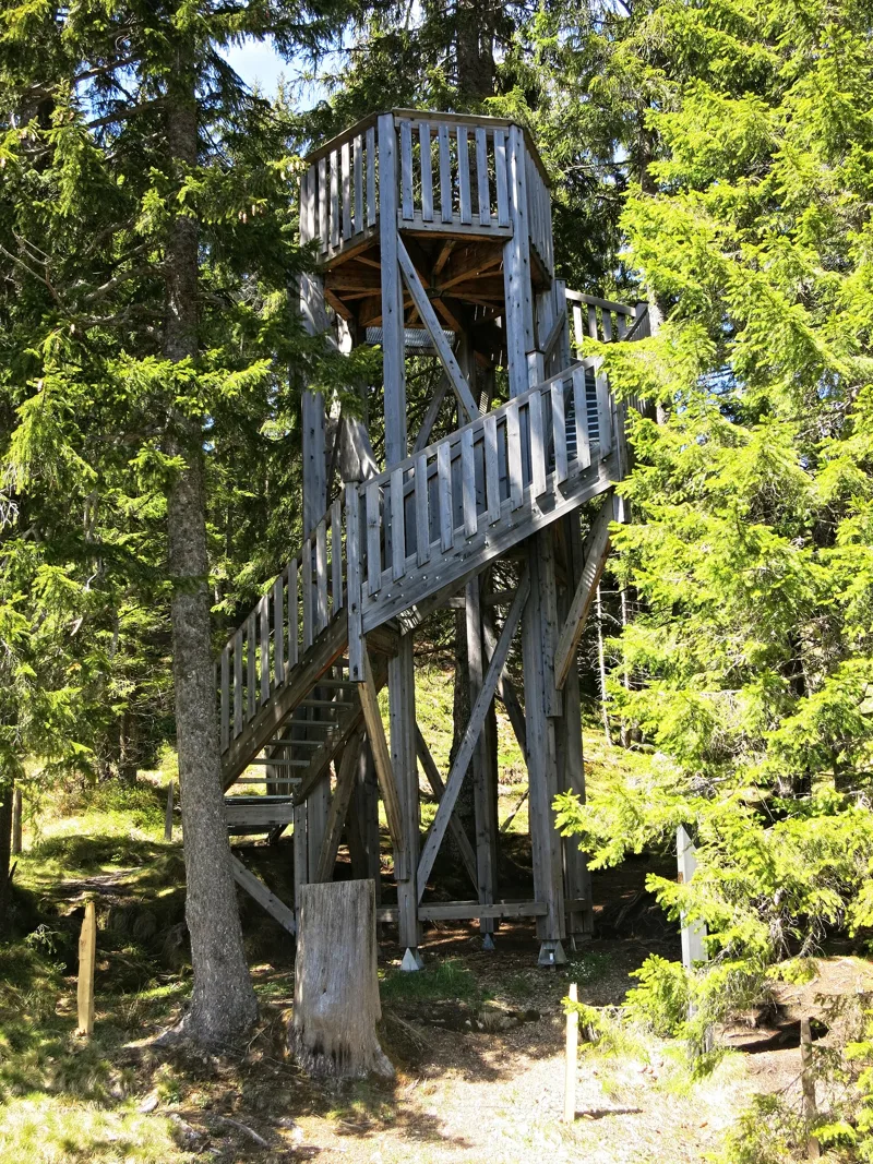
The Bäerenturm on Glaubenberg-Langis, near Sarnen.

2Schwendi-Kaltbad and the Glaubenberg

A former spa, once known for its mud and sulphur baths. Close by lies the largest raised bog of the Glaubenberg, a moorland said to be the largest in Switzerland. The tower in the photo, the Bäerenturm, stands just before it, on the trail.

Getting there on foot

Pilatus Kulm → Langis7 h 10From Pilatus Kulm to Langis
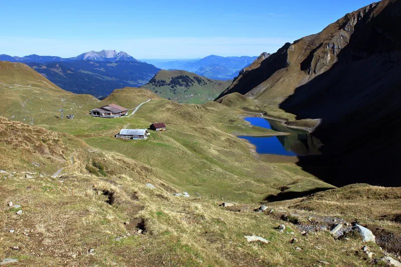
The Eisee and the Berggasthaus Eisee, seen from just below the Eiseesattel; Pilatus and the Stanserhorn in the distance

3Eisee and Emmensprung

A small mountain lake at the foot of the Arnihaaggen, between scree and meadows: a good spot for your first break. Further down, at 1,465 m, spring water bubbles out of the ground at the Emmensprung and heads off to join the Waldemme, right next to two waterfalls.

Getting there on foot

Brienzer Rothorn → Sörenberg3 h 00From Brienzer Rothorn to Sörenberg

The Engstlensee, with the Titlis in the centre

4Engstlensee

A lake full of fish, in a Bernese nature reserve that includes a quiet zone for wildlife. Just before it, on the alp, the Hotel Engstlenalp has welcomed guests since 1892.

Getting there on foot

Vier-Seen-Wanderung4 h 35From Melchsee-Frutt to Engelberg (Trübsee)

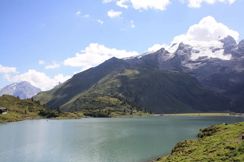
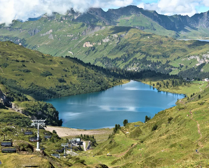
The Trübsee and the Titlis

5Trübsee and Jochpass

A lake of emerald-green glacier water at the foot of the Titlis. Above it, the Jochpass: from summer 1944, people rode up on single chairs, which would make it Switzerland's first chairlift.

Getting there on foot

Vier-Seen-Wanderung4 h 35From Melchsee-Frutt to Engelberg (Trübsee)

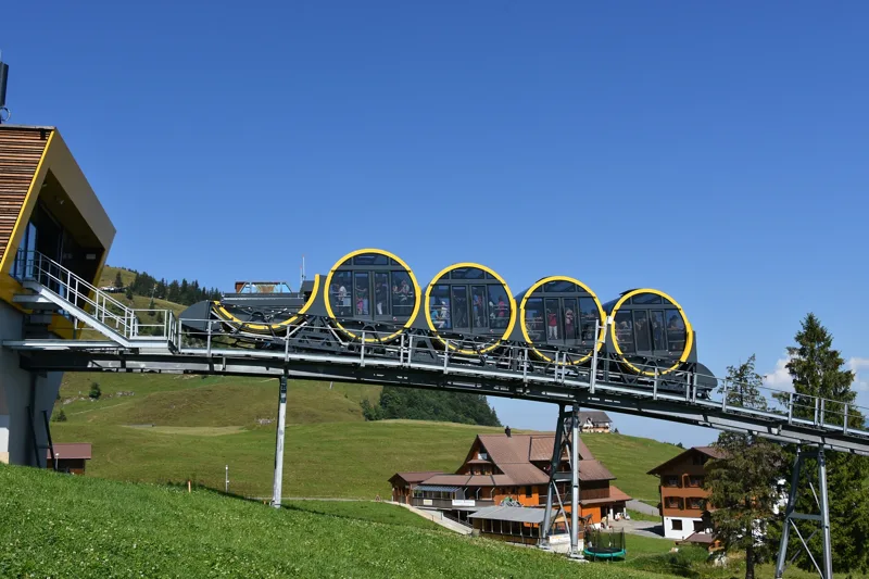
The Schwyz-Stoos funicular arriving at the top station

6Stoos

A car-free village at 1,300 m, at the foot of the Fronalpstock. You ride up from Schwyz on a funicular with a 110% gradient, said to be the steepest in the world, and two chairlifts head up to the ridge from here.

Getting there on foot

Gratweg Stoos1 h 50From Stoos (Klingenstock) to Stoos (Fronalpstock)

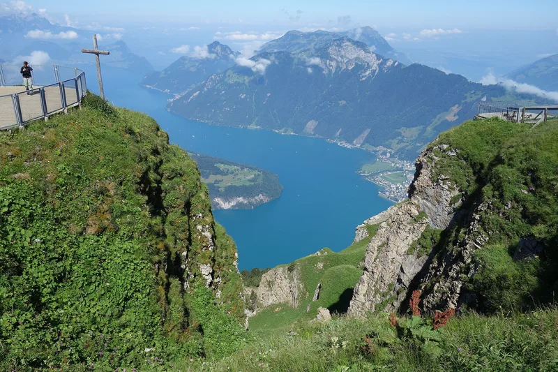
Lake Lucerne from the Fronalpstock, Stoos (SZ)

7Fronalpstock

Ten lakes, Pilatus, the Rigi and the Säntis, all the way to the High Alps and the Jura. Far below, Brunnen and the Rütli meadow. The restaurant and its terrace are billed as the highest in the canton of Schwyz.

Getting there on foot

Gratweg Stoos1 h 50From Stoos (Klingenstock) to Stoos (Fronalpstock)

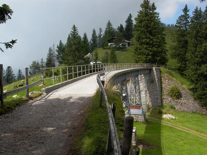
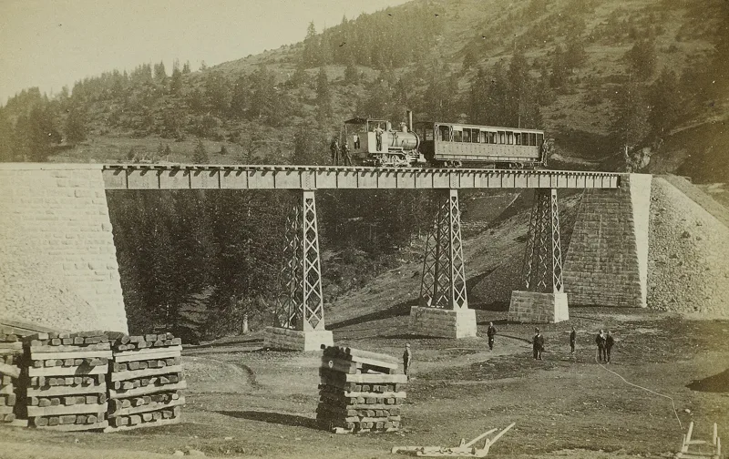
The bridge of the former Rigi-Scheidegg railway near Unterstetten

8Unterstetten bridge

Built in 1874-1875 for the railway from Rigi Kaltbad to Rigi Scheidegg, from riveted steel plates, the same technique as the Eiffel Tower. Restored in 2017, it now carries you across on foot.

Getting there on foot

Rigi-Panoramaweg1 h 50From Rigi Kaltbad to Rigi Scheidegg

A little further away

  • Rigi Kulm

    The first inn on the summit opened in 1816. In 1879, Mark Twain visited the Rigi and turned the trip into a comic travel piece.

    Our nearest hike, the Rigi-Panoramaweg, passes 1.7 km away, lower down.

  • Titlis

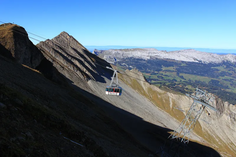
    It is billed as the highest mountain in Central Switzerland that you can reach by cable car. The Rotair cabin turns a full circle on the ride up from Stand.

    Our nearest hike, the Vier-Seen-Wanderung, passes 3.7 km away.

  • Rütli meadow

    The meadow of Switzerland's founding myth. In 1859 the Swiss Society for Public Good bought it with a national collection to stop a hotel being built, and in 1860 gave it to the Confederation.

    Our nearest hike, the Gratweg Stoos, passes 3.4 km away; from the Fronalpstock you see it right below you.

  • Chapel Bridge, Lucerne

    On the night of 18 August 1993, much of the wooden bridge burned. Rebuilt, it reopened on 14 April 1994.

    Our nearest hike, Pilatus Kulm → Langis, passes 9 km away.

Nature, month by month

When things flower, when the animals show up: the mountains, month by month.

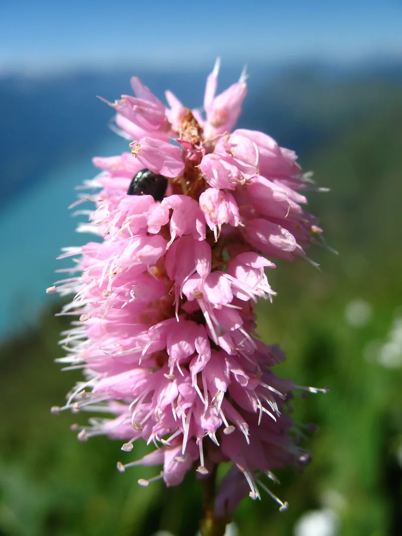
Common bistortIt flowers in damp meadows and among tall herbs.
Globe orchidAn orchid of mountain meadows; it has been recorded on the Nollen, on the Stoos ridge.
St Bruno's lilyA white flower of mountain meadows; it grows on the Nollen too.
Orange lilyOn rocks, stony ground and fairly dry meadows.
Alpine ibexAround 100 on Pilatus, more than 150 on the Brienzer Rothorn.
birthsfightsrut
Western capercaillieAll year round, but rare: 300 to 500 males in Switzerland. The Glaubenberg population ranks among the most important in the country.
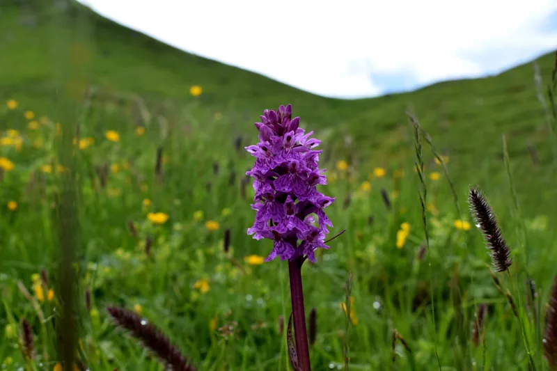
Flowers on the Stoos Ridge Trail

The orchids of the Nollen

Between the Klingenstock and the Huser Stock, the ridge crosses the dry meadows of the Nollen, listed in the federal inventory. In 2010, black vanilla orchids and globe orchids, orange lilies and St Bruno's lilies were recorded there. The flower in the photo grows on the Gratweg.

Gratweg Stoos1 h 50

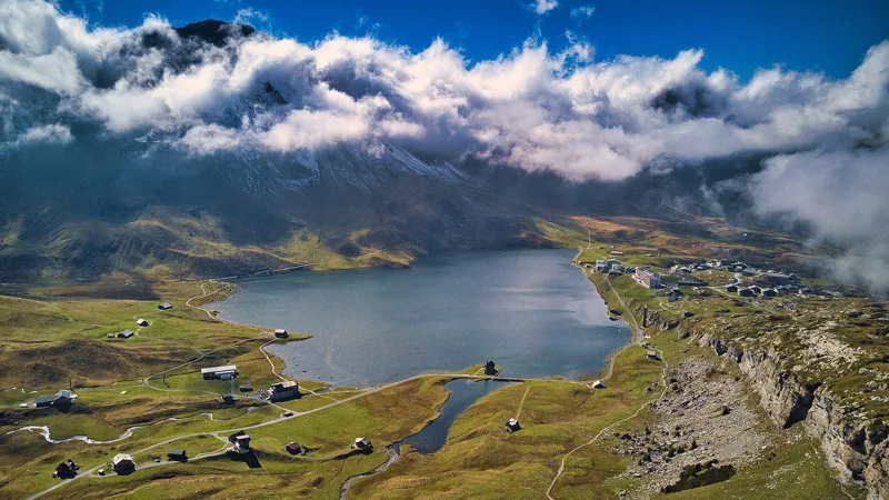
Lake Melchsee; on the left edge, the nationally important Melchsee fen

The Melchsee fen

On the shore of the Melchsee, at 1,905 m, 6.7 ha of fen of national importance: sedges, wet meadows and a transition mire. In the photo, it lines the lake on the left.

Vier-Seen-Wanderung4 h 35

What to eat in Central Switzerland

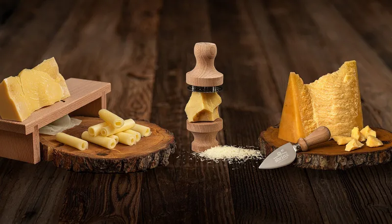
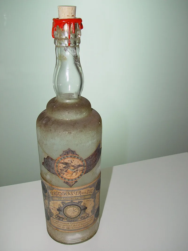
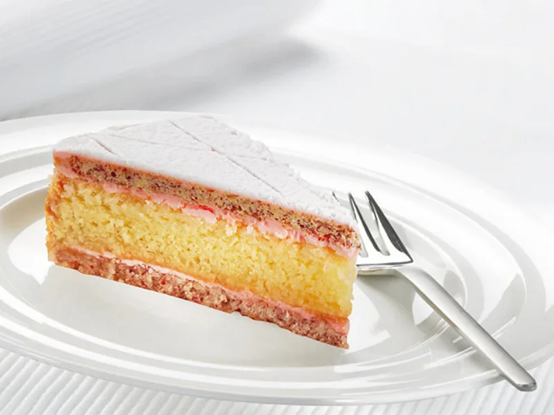
Local specialities with an official designation.

Weekend ideas

Two hikes close together, the train or bus in between, and a good reason to do both.

Two descents from two summits

PostBus, train, PostBus and cable car from Langis to the Brienzer Rothorn: about 2 h 15, via Schüpfheim and Sörenberg. Check the timetable on the day.

Two big descents: from Pilatus down to the Glaubenberg moorland, then from the Brienzer Rothorn into the Entlebuch Biosphere.

High above Lake Lucerne

Chairlift, cable car, two buses and cog railway from the Fronalpstock to Rigi Kaltbad: about 2 h 25, via Morschach, Brunnen and Vitznau. Check the timetable on the day.

From the Fronalpstock you can see as far as the Rigi; the next day you walk on it, along the old railway line.

The Obwaldner Höhenweg, from Pilatus to Melchsee-Frutt

PostBus and gondola from Langis to Melchsee-Frutt: about 1 h 30, via Sarnen and the Stöckalp. Check the timetable on the day.

The first stage of the Obwaldner Höhenweg, from Pilatus to Langis, then the four lakes from Melchsee-Frutt, where its fourth stage ends.

When to go

The lifts and summer buses that take you to the start, with their dates.

Up high, there can be snow even in summer, and in late autumn some bridges and safety cables are taken down. Find out more

Stories from the region

What happened where you're about to walk.

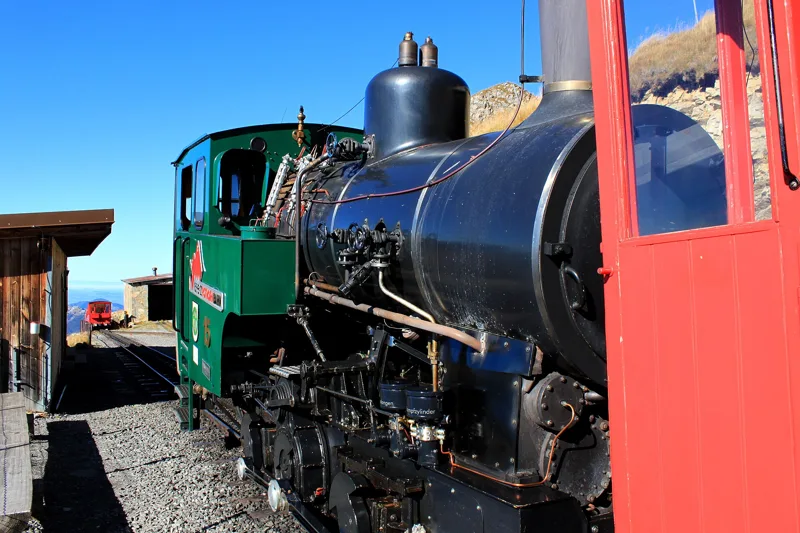
A Brienz Rothorn Bahn steam locomotive at Rothorn Kulm station

A steam railway saved twice

The Rothorn cog railway opened on 16 June 1892. In 1914 the war emptied its carriages: it stopped, and only ran to the summit again in 1931, and that long sleep is why it has never been electrified. In 1958 there were plans to replace it with a cable car; Brienz said no.

Brienzer Rothorn → Sörenberg3 h 00
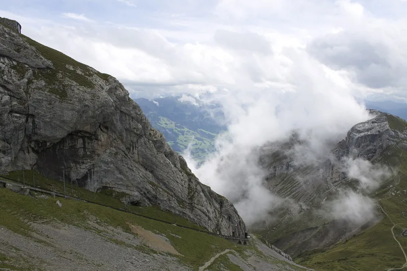
Pilatus Kulm, from Oberhaupt to Tomlishorn.

The broken mountain and its dragon

In the Middle Ages it was called Mons fractus, the broken mountain. In summer 1421, a dragon is said to have crashed down right next to a farmer called Stämpfli; when he came to, he found a dragon stone, whose healing power was officially confirmed in 1509. You can see it at the natural history museum in Lucerne.

Pilatus Kulm → Langis7 h 10
The Rigi-Kaltbad-Scheidegg railway bridge near Unterstetten, probably during its load test

The train of the grand hotels

In 1871 the line from Vitznau became Europe's first mountain railway. In 1874-1875 came the line from Rigi Kaltbad to Rigi Scheidegg, with no cog rail: the highest adhesion railway in Europe, linking the smart hotels of Kaltbad, First and Scheidegg. It ran until 1931.

Rigi-Panoramaweg1 h 50

The 5 hikes

From shortest to longest.

Questions people ask

How many hikes are there in Central Switzerland?

5 hikes, from 1 h 50 to 7 h 10 of walking (official times): Gratweg Stoos, Rigi-Panoramaweg, Brienzer Rothorn → Sörenberg, Vier-Seen-Wanderung and Pilatus Kulm → Langis.

Which is the shortest hike in Central Switzerland?

Gratweg Stoos: 1 h 50 of walking (official time), 4.5 km, 380 m of climbing.

Which is the longest hike in Central Switzerland?

Pilatus Kulm → Langis: 7 h 10 of walking (official time), 22.5 km, 1,050 m of climbing.

Can you do these hikes by public transport?

5 of the 5 hikes end at a public transport stop; each page shows the next departures from the finish.