
Walking around La Palette
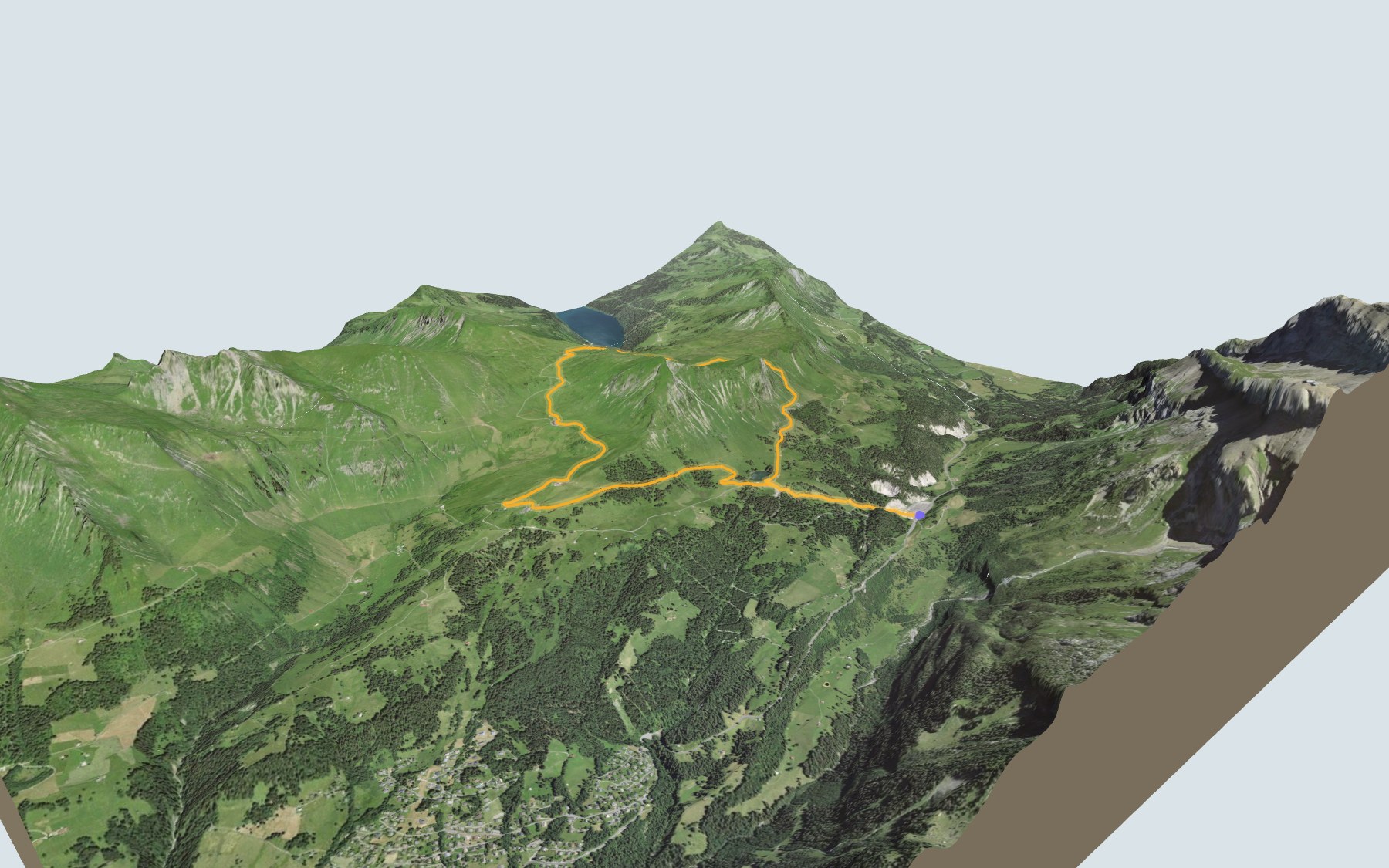
Here you walk all the way around La Palette without climbing to its summit. You start at Col du Pillon, the pass between the Grande-Eau valley in Vaud and the Sarine valley on the Bern side, and you finish there too. SwitzerlandMobility puts it at 3 h 10 in either direction and rates the loop medium, for both fitness and technique.
First you pass the shore of Lac Retaud, then you climb to Col de Voré, on the border between Vaud and Bern, and on to Col des Andérets, the highest point of the loop. The way down crosses the Isenau area before you reach Lac Retaud again. The loop profile shows you where the climbing is.
The pass was first a cattle traders' track, then a carriage road reached it in 1879. Under your feet: gypsum near the pass and flysch around La Palette. Curious about other rocks in the area? The Gypsum Pyramids Trail starts from Bretaye.
Back at the pass, check the next departures from the Col-du-Pillon, Glacier 3000 stop and plan your day before you set off. Looking for more in the area? See all hikes in the Vaud Alps.
The story of the trail
What happened where you are going to walk, chapter by chapter.
A loop around La Palette
You start at Col du Pillon, at 1,544 m, and you end there too. In between: 9.2 km, plus 560 m of climbing and 560 m of descent according to SwitzerlandMobility, which puts the walk at 3 h 10 in either direction. The highest point, 2,030 m, is at Col des Andérets. The loop keeps the summit of La Palette inside the circuit, without going up to it.
For food, there are four places right next to the path: the Restaurant du Col du Pillon at the start, the Chalet Vieux just after Col de Voré, at 1,950 m, then, on the way down towards Isenau, the Buvette de la Marnèche and the Isenau restaurant. Their opening hours are unknown, so check before you go. On the trail, follow the signposts and check the conditions on the day.
From Lac Retaud to Col des Andérets
From the pass, the path reaches Lac Retaud after a short kilometre, then climbs to Col de Voré. There it briefly touches the Bernese municipality of Gsteig; the rest of the loop is in Ormont-Dessus, in the canton of Vaud.
Just after, you pass the Chalet Vieux. The path carries on to Col des Andérets, a kilometre further on: this is where the loop reaches its highest point, at 2,030 m.
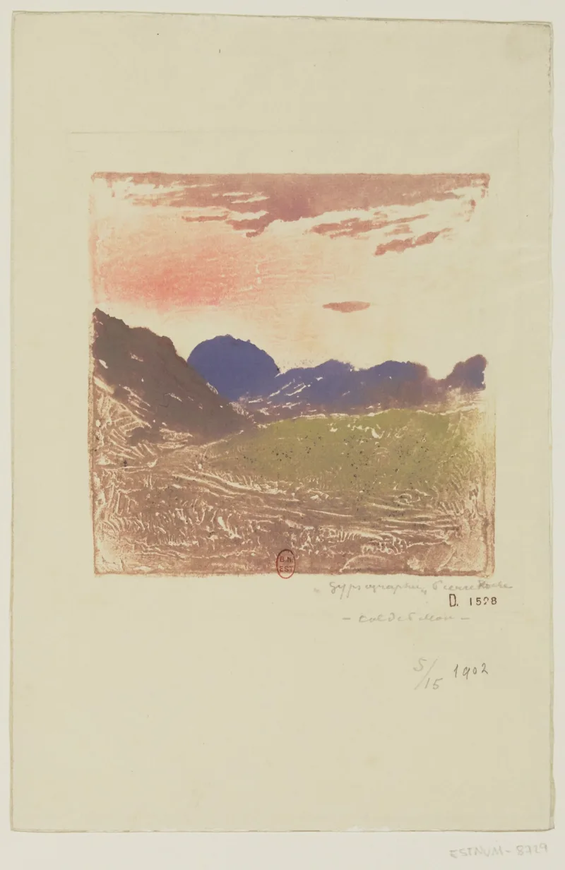
A cattle traders' track
Col du Pillon is the pass linking the Grande-Eau valley, on the Vaud side, with the Sarine valley, on the Bern side, from Le Sépey to Gsteig by way of Les Diablerets. The old, poor track, called the royal road under the Ancien Régime, was used by Bernese cattle traders to reach the Rhône plain. In March 1798, Bernese troops stationed near the pass fell back to Gsteig after news came of Bern's defeat.
A carriage road was later built from Aigle: it reached Le Sépey in 1840, Col du Pillon in 1879, the Bernese border in 1882 and Gsteig in 1885. It was served by a stagecoach, then by a postbus from 1923, between Le Sépey and Gstaad. Both regions grew strongly as tourist areas at the end of the 19th century.
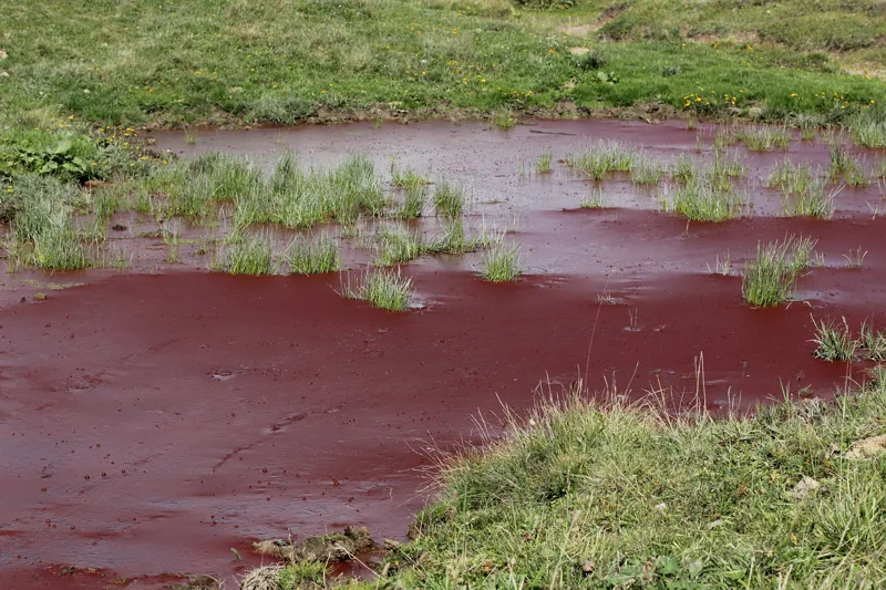
Gypsum at the pass, flysch on the ridges
Near the pass, at the start and at the finish, you walk on Triassic gypsum, and the path crosses a doline. Higher up, the rock changes: for a good part of the way, you walk on the Frutigen Formation, the lower part of the Niesen Flysch, made of conglomerates, sandstones and mudstones.
This formation dates from the Maastrichtian, and La Palette is one of the places where it is found. Elsewhere, the path runs over moraine and other glacial sediments.
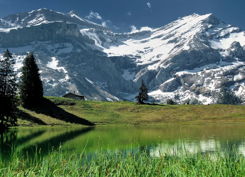
Back via Isenau and Lac Retaud
After Col des Andérets, the path drops towards the Isenau area: you pass the Buvette de la Marnèche, at 1,800 m, then the Isenau restaurant just after. Shortly before the finish you reach Lac Retaud again, with the Restaurant du Lac Retaud right by the path.
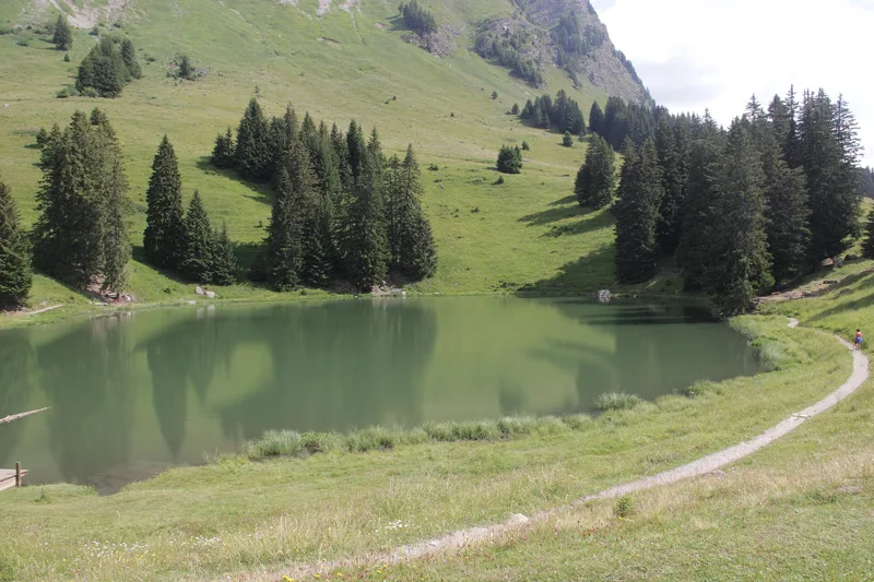
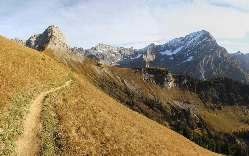
The lake lies at the foot of the Palette summit, with views of Scex Rouge, Nägelihorn, Oldenhorn and the Diablerets glacier; in summer, people swim, paddleboard and fish there. The water is shallow, especially warm in summer, with marsh wildlife and plants. Col du Pillon waits at the end of the loop; further down this page you'll find the next departures from the Col-du-Pillon, Glacier 3000 stop.
In pictures
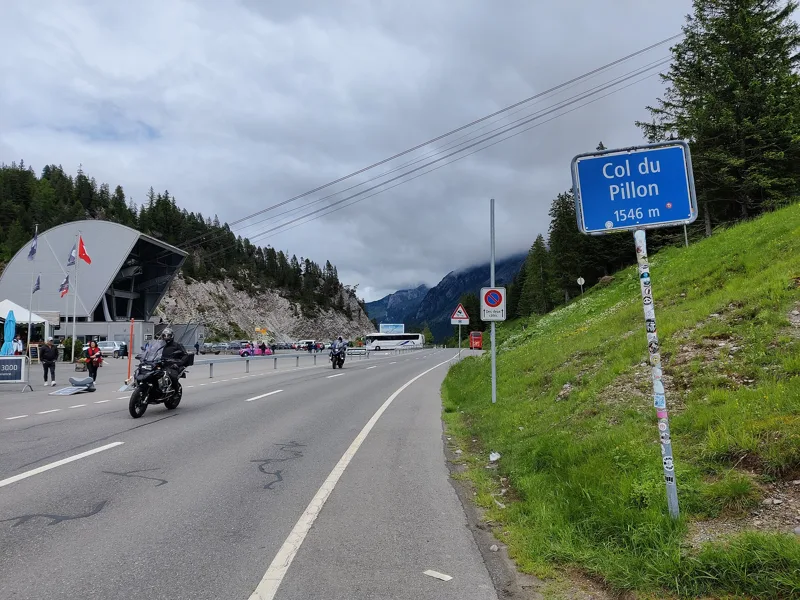
Col du Pillon
Lac Retaud
Forest near Lac Retaud
Hiking sign at Col de Voré, on the Bern / Vaud boundary
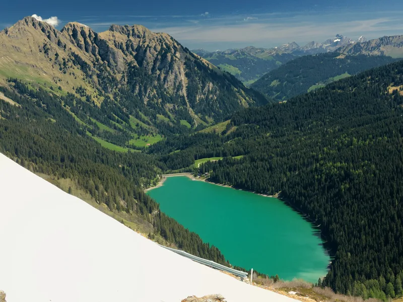
Arnensee from Col des Andérets
Temporary red pond south of Col des Andérets
Cow at the Buvette la Marnèche, Isenau (Ormont-Dessus, Vaud)
Oldenhorn and Scex Rouge from Lac Retaud
Col du Pillon, print (gypsography) by Pierre Roche
Glacier 3000 valley station, Col du Pillon
Col du Pillon pass road, canton of Vaud
The next few days
MeteoSwiss local forecast, updated every hour
Reading the MeteoSwiss forecast…
My day
Pick your day and start time: everything updates.
- Arrival at Col du Pillon
- 11:40 3 h 10 of walking without breaks, starting at 08:30
The trail, kilometre by kilometre
Places are listed under the kilometre where you pass them. Drag along the profile: the marker moves on the 3D view too.
- under 10 %
- 10 to 20 %
- 20 to 30 %
- over 30 %
- fountain or water point
- toilets
Around the trail (250 m, OpenStreetMap, extract of 25/10/2026): 4 restaurants, 0 cafés, 3 fountains and water points, 2 toilets. Estimated time: the official walking time spread by effort (1 km on the flat counts as 100 m of climbing), start time set in “My day”.
Getting there and back
Back by public transport from the Col-du-Pillon, Glacier 3000 stop
Next departures from Col-du-Pillon, Glacier 3000Reading the official timetable…
By car
Careful, this is one way: public transport back arrives in Col-du-Pillon, Glacier 3000, not in Col du Pillon. Plan to get back to your car by public transport, or park at the finish and take the train to the start.
- Car park open-air, Route du Lac Retaudfree290 m from the start
- Car park open-air, Route du Pillon40 m from the start
Public car parks within 600 m of the start, according to OpenStreetMap: prices and number of spaces may have changed, check the signs on site.
Questions people ask
How long is the hike from Col du Pillon to the finish (Col du Pillon)?
3 h 10 of walking according to SwitzerlandMobility, in this direction, not counting breaks. The other way: 3 h 10.
Is it hard?
SwitzerlandMobility rates this stage: fitness medium, technique medium. It is 560 m of climbing over 9.2 km.
Can I get back by public transport?
Yes. The Col-du-Pillon, Glacier 3000 stop is at the finish. The next departures show live under “Getting there and back”.
Where can I eat on the way?
4 restaurants, cafés and huts within 250 m of the trail, including Restaurant du Col du Pillon, Chalet Vieux, Buvette de la Marnèche. Where they are and their opening hours: below the profile.
Is there water and are there toilets on the way?
3 fountains and water points and 2 toilets within 250 m of the trail (survey of 25/10/2026).
Can I download the track?
Yes, as a GPX file for your watch or map app: “Download the track” button at the top of the page.
More hikes within 10 km
Official SwitzerlandMobility stages that pass within 10 km of this trail. Each card says whether its page is already up.
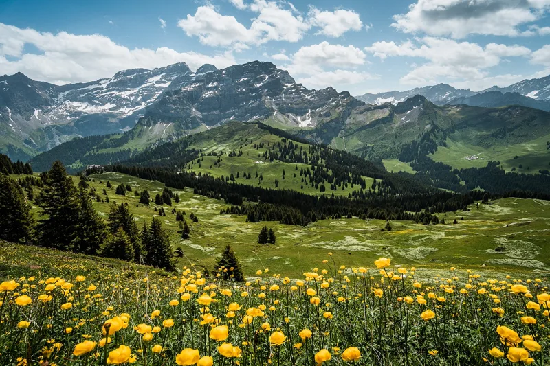 Les Diablerets → Villars-sur-Ollon6 h 10Tour des Alpes Vaudoises, stage 618.0kmDistance1,100mAscent1,000mDescentTechnical mediumFitness difficult. See the hike
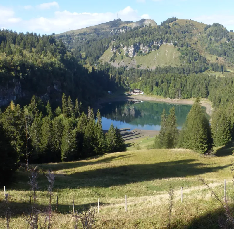 Bretaye, loop3 h 35Chemin des pyramides de Gypse12.0kmDistance540mAscent540mDescentTechnical mediumFitness medium. See the hike
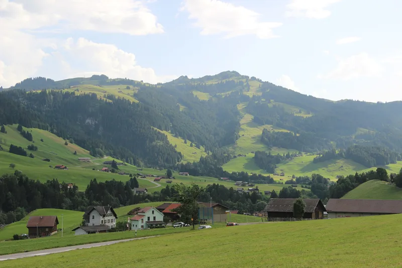 Château-d'Oex → L'Etivaz5 h 30Tour des Alpes Vaudoises, stage 414.0kmDistance1,200mAscent1,000mDescentTechnical mediumFitness difficult. See the hike
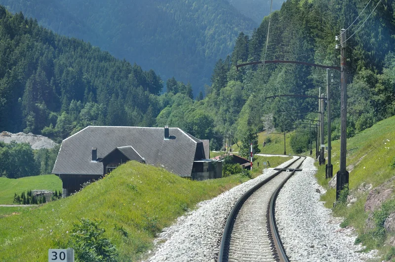 Les Mosses → Château-d’Oex4 h 15Tour des Alpes Vaudoises, stage 315.0kmDistance400mAscent880mDescentTechnical mediumFitness medium. See the hike
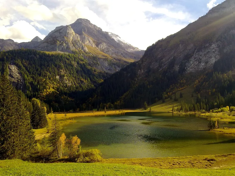 Station Höhi Wispile → Lauenen4 h 00Höhi-Wispile-Lauenensee-Weg14.0kmDistance300mAscent950mDescentTechnical mediumFitness difficult. See the hike
 Solalex, loop5 h 15Tour de L’Argentine13.0kmDistance1,050mAscent1,050mDescentTechnical mediumFitness difficult. See the hike