
Hiking below the three towers of Leysin
The three towers are the Tour d'Aï, the Tour de Mayen and the Tour de Famelon, three limestone peaks above Leysin. The trail doesn't climb any of them: it runs below them, from the Berneuse down to the village. It is almost all downhill, with one climb after Lac de Mayen. SwitzerlandMobility rates it medium for both fitness and technique.
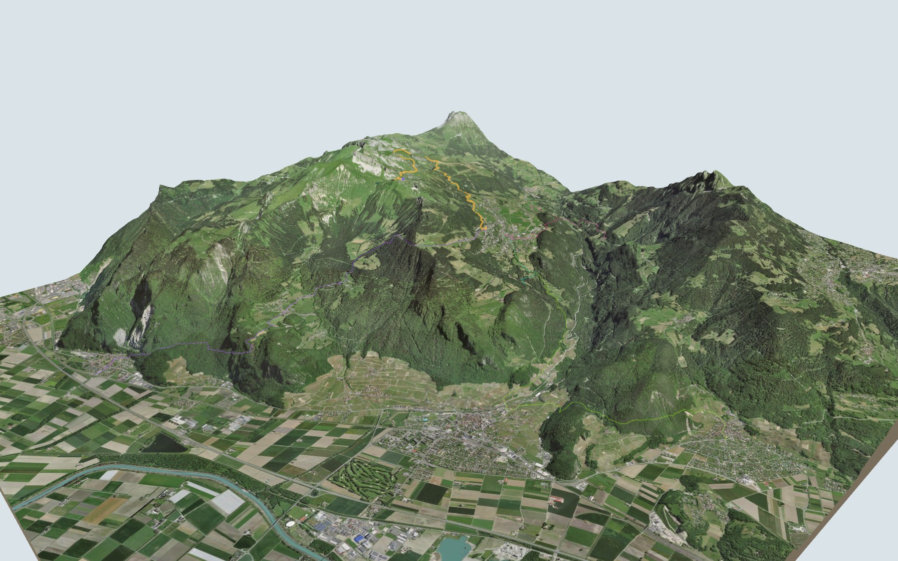
You ride the gondola from the village up to the Berneuse. The path drops to Lac d'Aï, passes the Aï and Mayen mountain cafés, follows the shore of Lac de Mayen, then crosses the Combe de Bar and passes the Chalet-Restaurant des Fers before heading down to Leysin. The elevation profile shows you where it climbs and where the descent gets steeper.
Rather start from below? Walk up from La Roulaz, Exergillod, Roche or Ollon: each starting point has its own colour in the 3D view and an estimated time under all starting points. From the valley floor, the hike from Aigle to Leysin also ends in the village. Another idea nearby: the Le Sépey historic bridges trail.
At the finish: Leysin, the former health resort of Dr Rollier, and Leysin-Feydey station. Check the next departures from Leysin-Feydey and plan your day before you set off. Looking for more in the area? See all hikes in the Vaud Alps.
The story of the trail
What happened where you are going to walk, chapter by chapter.
Downhill below the three towers
You start at 2,037 m, just below the top of the Berneuse, and finish at 1,391 m in Leysin. In between: 9.2 km, plus 220 m of climbing and 880 m of descent according to SwitzerlandMobility. It gives 2 h 45 of walking time in this direction, and 3 h 30 the other way, uphill.
The path first drops to the shore of Lac d'Aï, then passes the Buvette d'Aï and the Refuge de Mayen. It follows Lac de Mayen and climbs again below the towers before plunging into the Combe de Bar, near Le Moëllé. About halfway, the Chalet-Restaurant des Fers, at 1,682 m, sits right by the path; the next place to eat is Le Lynx, shortly before Leysin, so bring something to drink. On the way, follow the signposts and check the conditions on the day.
Pastures granted by Savoy
In the Middle Ages, Leysin belonged to the House of Savoy, which granted the Aï and Mayen pastures to the villagers under a feudal lease in the 14th century. Leysin lies at the foot of the Tour d'Aï and Tour de Mayen, and Aï and Mayen are among its hamlets, along with Veyges and Feydey.
Under Bernese rule, from 1475 to 1798, Leysin was a "métralie" under the government of Aigle. For a long time the village lived from alpine farming and from growing wheat, flax and hemp. From 1764, people noticed how long its inhabitants lived; Thomas Robert Malthus highlighted it in 1798 in his Essay on the Principle of Population.
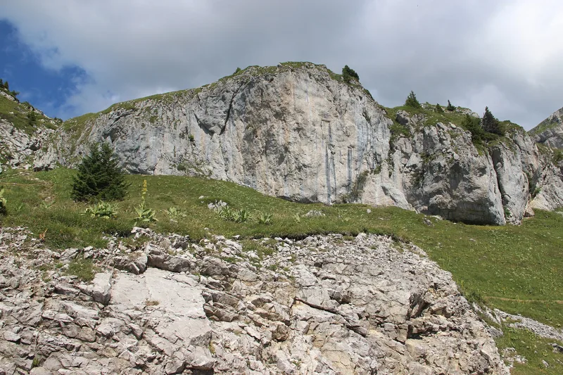
Towers of massive limestone
All three peaks belong to the Moléson Formation: massive limestone from the Upper Malm, at the end of the Jurassic, part of the Préalpes Médianes nappe. It builds the high cliffs and rock massifs that form the backbone of the landscape.
Underfoot, the path often crosses the same limestone, as well as scree and glacial deposits. In the second half, the formation it crosses most often is the Couches rouges, marly limestone named after its red colour, which doesn't show everywhere.
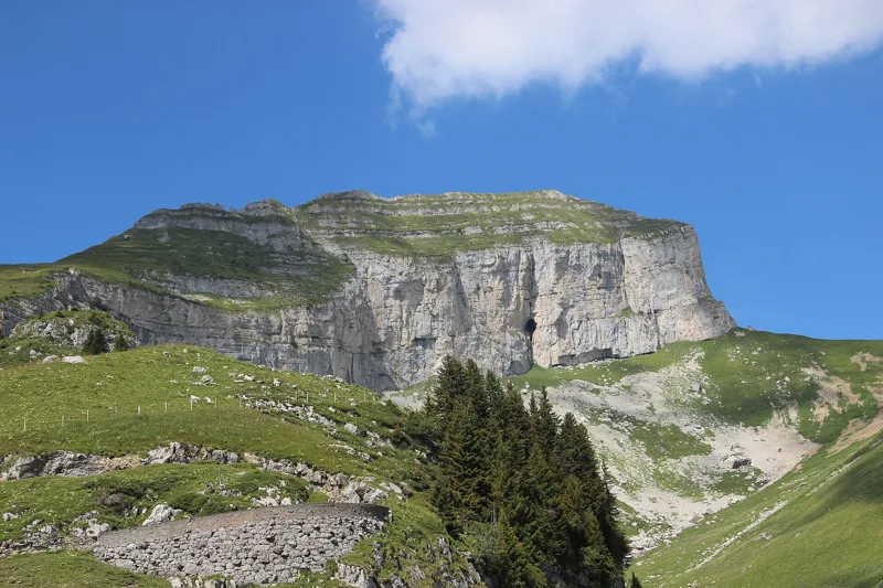
The resort of the sun
At the end of the 19th century, Leysin moved from alpine farming to health tourism: patients with consumption were sent here from 1873, the Grand Hôtel opened in 1892 and the first clinic for bone tuberculosis in 1903. That same year, Dr Auguste Rollier settled in Leysin and opened Le Chalet, a clinic for children. There he developed his "sun cure", based on the mountain climate and sunbathing; by 1940 he was in charge of eighteen clinics.
In 1946, the resort had an average of 3,500 patients, and up to eighty sanatoriums were counted here. With antibiotics, the clinics closed around 1955-1962, and Leysin turned to summer and winter tourism: the Berneuse gondola was built in 1956. Today, at the start of the trail, solar thermal panels fixed to the Kuklos building help power its revolving restaurant.
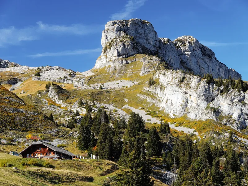
From Famelon to Feydey
Past the Tour de Famelon, the last of the three, the path heads down to the Chalet-Restaurant des Fers. It then crosses the Bay stream, passes near the Combe du Luissel and reaches the Feydey district. Near the station, you'll find the Davinda Lounge, Coffee Beans and the Station Rock Café.
From Leysin-Feydey station, the cogwheel train runs back down to Aigle. The Aigle-Leysin line opened in 1900 and was extended to the Grand Hôtel in 1915. Further down this page: the next departures.
Every way to Leysin
5 starting points to reach Leysin. Pick yours: the 3D view shows it and “My day” recalculates.
Walking times without breaks. “Estimated” times are calculated on the swisstopo profile with a model fitted to the official SwitzerlandMobility stages; the shortest path may differ from the one on the yellow signposts: on the ground, follow the signs. Gradient: the steepest over 200 m of trail. Profiles share the same scale (length and altitude). Stations and car parks within 500 m of the start, according to OpenStreetMap.
In pictures
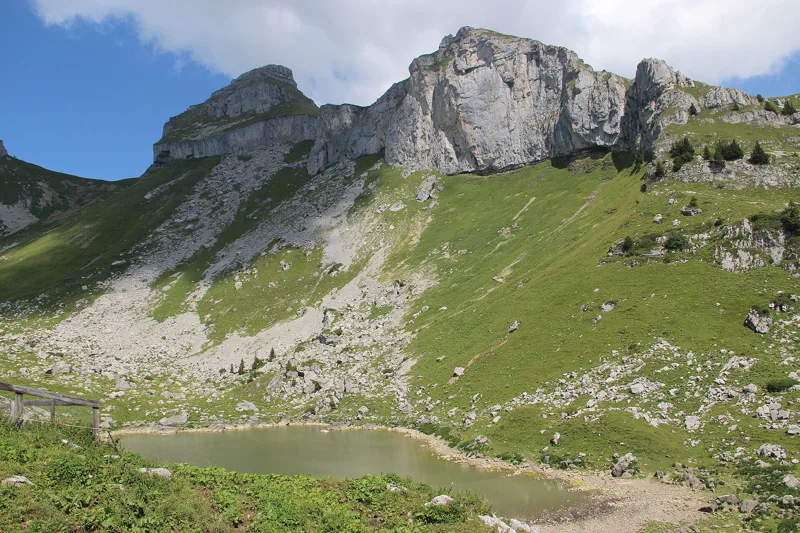
Lac d'Aï
The Tour d'Aï seen from Aï; in the centre, the rock formation known as the Sphinx
View from Aï towards Mayen, with the old top station of the former Brion - Mayen chairlift (1981), replaced and extended in 2017
Lac de Mayen and the Tour de Mayen seen from Mayen
The Tour d'Aï seen from Mayen
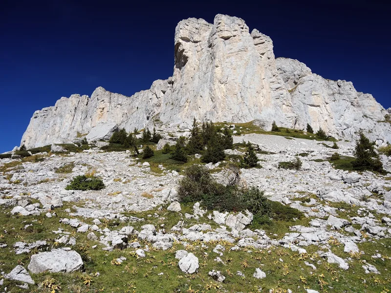
Rocks at the Tour de Mayen
Rocks at the Tour d'Aï
The Tour de Mayen seen from the track between Le Temeley and Mayen
The Tour de Famelon seen from the Crête du Fer
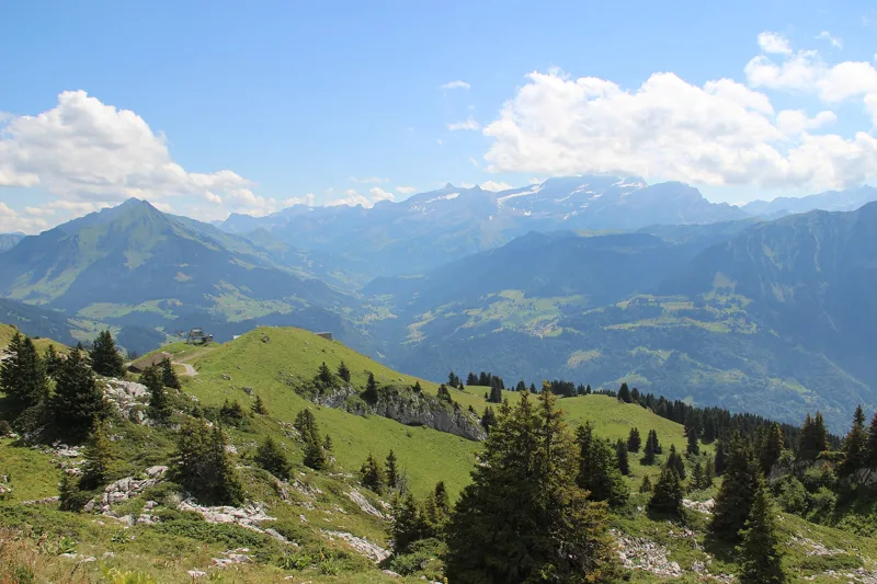
Panoramic view at Lac de Mayen
The next few days
MeteoSwiss local forecast, updated every hour
Reading the MeteoSwiss forecast…
My day
Pick your day and start time: everything updates.
- Arrival at Leysin
- 11:15 2 h 45 of walking without breaks, starting at 08:30
The trail, kilometre by kilometre
Places are listed under the kilometre where you pass them. Drag along the profile: the marker moves on the 3D view too.
- under 10 %
- 10 to 20 %
- 20 to 30 %
- over 30 %
- fountain or water point
- toilets
Around the trail (250 m, OpenStreetMap, extract of 25/10/2026): 5 restaurants, 5 cafés, 7 fountains and water points, 3 toilets. Estimated time: the official walking time spread by effort (1 km on the flat counts as 100 m of climbing), start time set in “My day”.
Getting there and back
Back by public transport from the Leysin-Feydey stop
Next departures from Leysin-FeydeyReading the official timetable…
By car
Careful, this is one way: public transport back arrives in Leysin-Feydey, not in Leysin, Berneuse. Plan to get back to your car by public transport, or park at the finish and take the train to the start.
Public car parks within 600 m of the start, according to OpenStreetMap: prices and number of spaces may have changed, check the signs on site.
Questions people ask
How long is the hike from Leysin, Berneuse to the finish (Leysin)?
2 h 45 of walking according to SwitzerlandMobility, in this direction, not counting breaks. The other way: 3 h 30.
Is it hard?
SwitzerlandMobility rates this stage: fitness medium, technique medium. It is 880 m of descent over 9.2 km.
Can I get back by public transport?
Yes. The Leysin-Feydey stop is at the finish. The next departures show live under “Getting there and back”.
Where can I eat on the way?
11 restaurants, cafés and huts within 250 m of the trail, including Restaurant Tournant Panoramique Le Kuklos, Buvette d'Aï, Aï. Where they are and their opening hours: below the profile.
Is there water and are there toilets on the way?
7 fountains and water points and 3 toilets within 250 m of the trail (survey of 25/10/2026).
Can I download the track?
Yes, as a GPX file for your watch or map app: “Download the track” button at the top of the page.
More hikes within 10 km
Official SwitzerlandMobility stages that pass within 10 km of this trail. Each card says whether its page is already up.
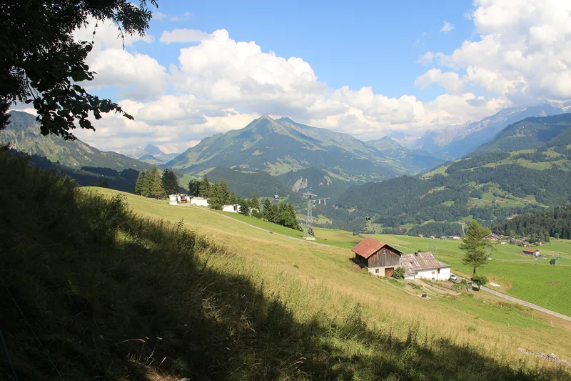 Aigle → Leysin3 h 10Tour des Alpes Vaudoises, stage 17.0kmDistance1,000mAscent10mDescentTechnical mediumFitness difficult. See the hike
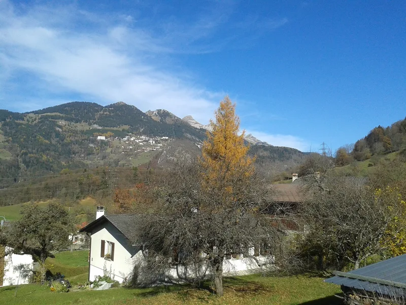
 Le Sépey, loop2 h 20Sentier des ponts historiques du Sépey7.0kmDistance400mAscent400mDescentTechnical easyFitness medium. See the hike
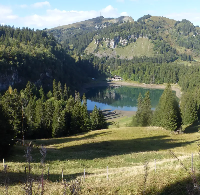
 Plambuit → Bex3 h 35Sentier du Sel13.0kmDistance360mAscent680mDescentTechnical easyFitness medium. See the hike
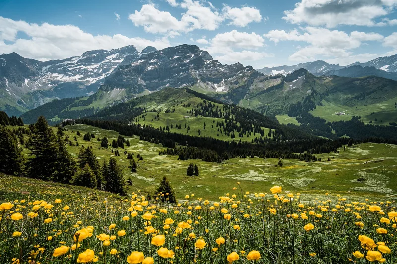
 Bretaye, loop3 h 35Chemin des pyramides de Gypse12.0kmDistance540mAscent540mDescentTechnical mediumFitness medium. See the hike
 Les Diablerets → Villars-sur-Ollon6 h 10Tour des Alpes Vaudoises, stage 618.0kmDistance1,100mAscent1,000mDescentTechnical mediumFitness difficult. See the hike
 Les Mosses → Château-d’Oex4 h 15Tour des Alpes Vaudoises, stage 315.0kmDistance400mAscent880mDescentTechnical mediumFitness medium. See the hike