
Walking up the Lauberhorn downhill
Every January, World Cup racers hurtle down the Lauberhorn. In summer, you walk up their course: from the Allmend stop above Wengen to the Lauberhornschulter and its start hut, then a short way down to Kleine Scheidegg. SwitzerlandMobility rates it medium for both fitness and technique.
The path climbs through Langetrejen, passes above Wengernalp and crosses the Hundschopf, one of the legendary spots of the race. Along the way, you look out over the Eiger, Mönch and Jungfrau. The elevation profile shows you where it gets steepest.
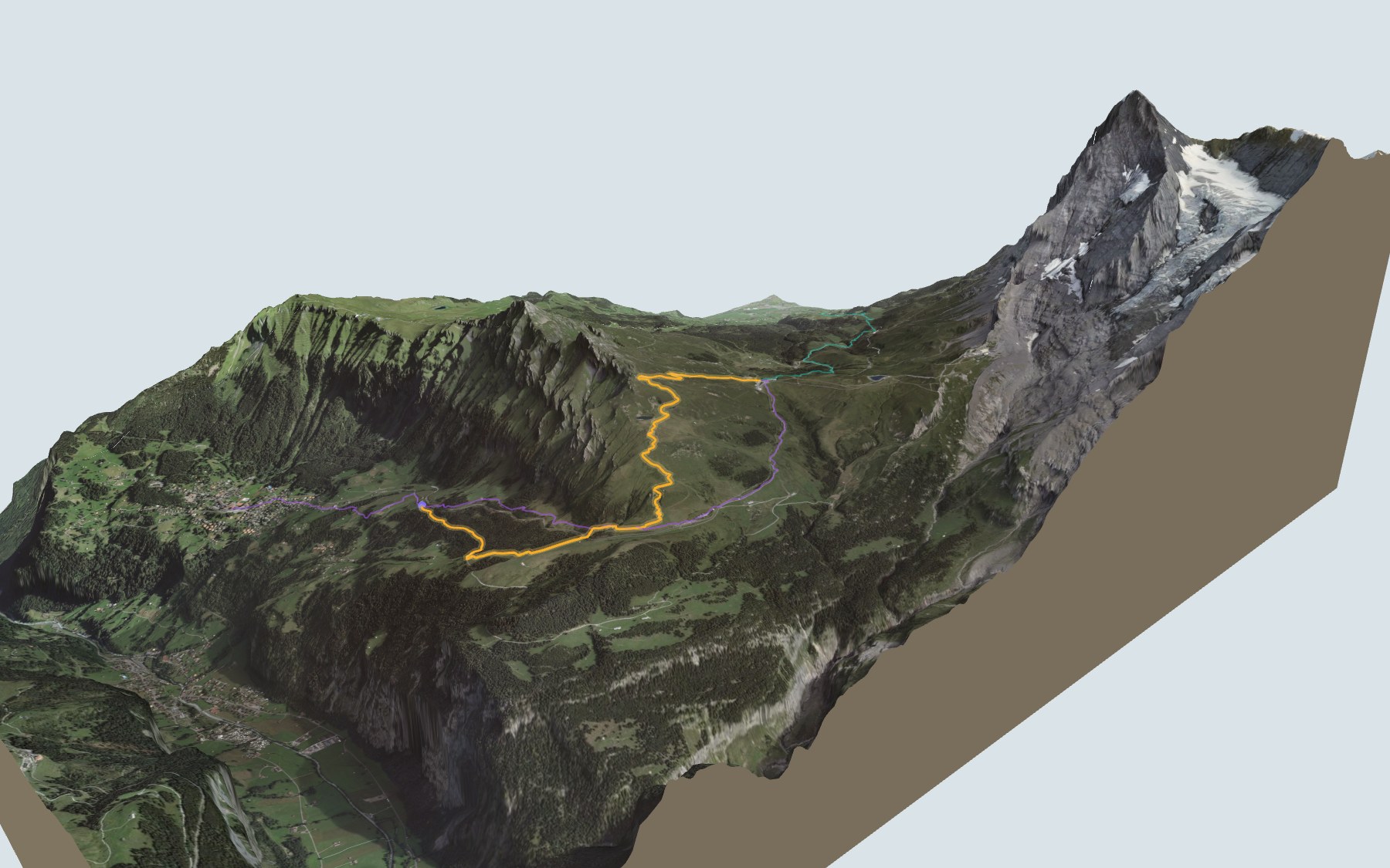
Rather skip the high point? Walk up from Wengen, or from Brandegg on the Grindelwald side: these routes go straight to Kleine Scheidegg. Each starting point has its own colour in the 3D view and an estimated time under all starting points. From Kleine Scheidegg, the train also climbs to Eigergletscher, where the Eiger Trail starts.
At the finish you'll find several restaurants and the station for two rack railways, towards Lauterbrunnen, Grindelwald or the Jungfraujoch. Check the next departures from Kleine Scheidegg and plan your day before you set off. Looking for more in the area? See all hikes in the Bernese Oberland.
The story of the trail
What happened where you are going to walk, chapter by chapter.
A climb, then a pass
You start at 1,499 m at Allmend, above Wengen, and finish at 2,061 m at Kleine Scheidegg. In between: 6.3 km, plus 820 m of climbing and 260 m of descent according to SwitzerlandMobility. The high point, at 2,315 m, is the Lauberhornschulter; from there the path drops down to the pass. SwitzerlandMobility gives 2 h 50 of walking time in this direction and 2 h 15 the other way.
The Bergrestaurant Allmend is at the start. When you pass above Wengernalp, its restaurant is a short detour away; the other restaurants are at the finish, at Kleine Scheidegg, so bring something to drink. On the way, follow the signposts and check the conditions on the day.
On the race course
This hike lets you explore the legendary Lauberhorn downhill in summer: you start at the Allmend stop, follow a forest path, then the course itself. Along the way, information points tell the story of the course.
You climb through Langetrejen, then pass above Wengernalp. Higher up comes the Hundschopf, one of the legendary spots of the course. The path finally reaches the Lauberhornschulter, home to the racers' start hut. The summit of the Lauberhorn itself stays off to the side, about six hundred metres from the path.
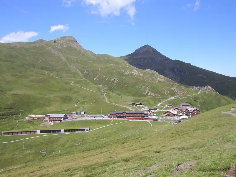
The longest downhill in the world
The Lauberhorn races have been held in Wengen since 1930. Their organisers call the downhill the longest in the world. The fastest racers get down it in about two and a half minutes, at an average of a hundred and ten kilometres an hour.
In January 1971, with too little snow in Wengen, the 41st races were moved to St. Moritz. In 2026, the downhill started directly on the Hundschopf for the first time, the very spot you cross on foot.
Shale and sandstone under the course
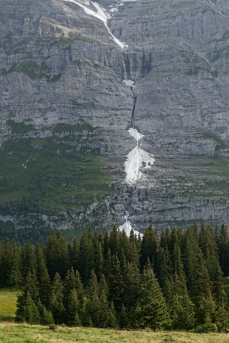
Under your feet, the rock mostly belongs to two layers: the Mols Member and the Glockhaus Member. The first is made of clay and marl shales, dated using ammonites such as Leioceras opalinum. The second is made of iron-rich sandstone and nodular shale, with fossils: brachiopods, crinoids, bivalves or gastropods.
In places, you also walk across areas of slope subsidence. Before Kleine Scheidegg, the path crosses Holocene scree. And along the way, you look out over the Eiger, Mönch and Jungfrau.
Kleine Scheidegg, the railway pass
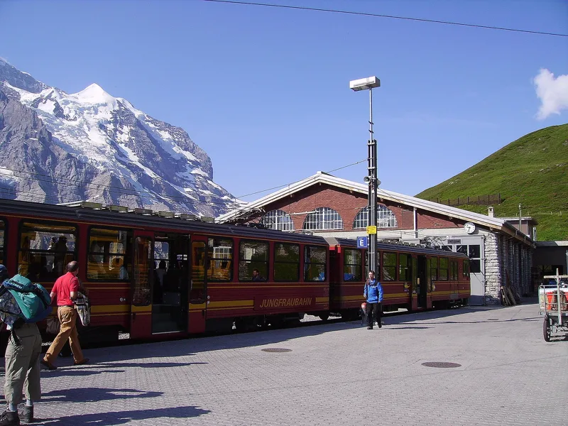
The path drops from the Lauberhornschulter down to Kleine Scheidegg. At the finish you'll find the Restaurant Eigernordwand, the Bergrestaurant Kleine Scheidegg and the Bellevue café. The pass is served by the Wengernalp Railway: its concession was granted in 1890 and the line opened in 1893. The Jungfrau Railways call it the longest continuous rack railway in the world, with more than nineteen kilometres of track.
The train also carries passengers and supplies to Wengen, a car-free village. At Kleine Scheidegg, you board it again to go down to Lauterbrunnen or Grindelwald, or take the Jungfrau Railway up towards Eigergletscher and the Jungfraujoch. Further down the page you'll find the next departures.
Every way to Kleine Scheidegg
3 starting points to reach Kleine Scheidegg. Pick yours: the 3D view shows it and “My day” recalculates.
Walking times without breaks. “Estimated” times are calculated on the swisstopo profile with a model fitted to the official SwitzerlandMobility stages; the shortest path may differ from the one on the yellow signposts: on the ground, follow the signs. Gradient: the steepest over 200 m of trail. Profiles share the same scale (length and altitude). Stations and car parks within 500 m of the start, according to OpenStreetMap.
In pictures
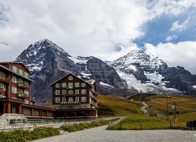
The Eiger (3967 m) and the Mönch (4107 m) from Kleine Scheidegg (2061 m), Bernese Oberland
Allmend railway station
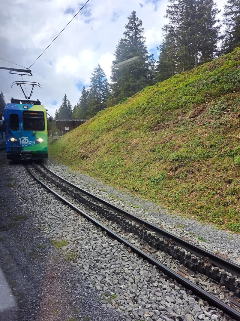
The Wengernalp Railway train between Allmend and Wengernalp stations
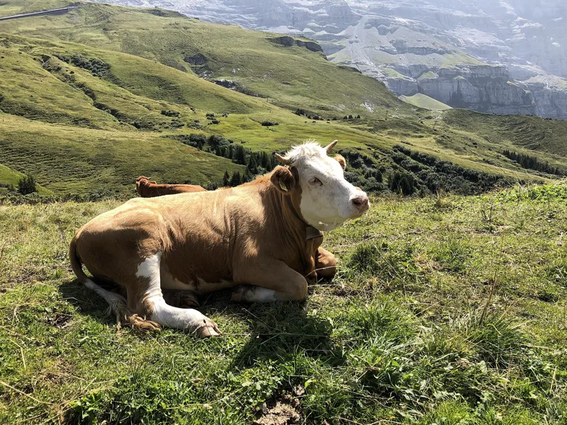
A cow on the hiking trail to Wengernalp: cows here are used to hikers on this well-used path
The Wengernalp Railway at Wengernalp; behind it, the Eiger Glacier, with the Eiger on the left and the Mönch on the right
A torrent coming down the north face of the Jungfrau in summer
Summer at Kleine Scheidegg
The Wengernalp Railway at Kleine Scheidegg, at the foot of the Eiger North Face
The Hotel Eigernordwand and the viewpoint at Kleine Scheidegg
Cenotaph for Jiro Nitta, a Japanese novelist, at Kleine Scheidegg
Looking down to Grindelwald from Kleine Scheidegg
The next few days
MeteoSwiss local forecast, updated every hour
Reading the MeteoSwiss forecast…
My day
Pick your day and start time: everything updates.
- Arrival at Kleine Scheidegg
- 11:20 2 h 50 of walking without breaks, starting at 08:30
The trail, kilometre by kilometre
Places are listed under the kilometre where you pass them. Drag along the profile: the marker moves on the 3D view too.
- under 10 %
- 10 to 20 %
- 20 to 30 %
- over 30 %
- fountain or water point
- toilets
Around the trail (250 m, OpenStreetMap, extract of 25/10/2026): 4 restaurants, 1 café, 2 fountains and water points, 4 toilets. Estimated time: the official walking time spread by effort (1 km on the flat counts as 100 m of climbing), start time set in “My day”.
Getting there and back
Back by public transport from the Kleine Scheidegg stop
Next departures from Kleine ScheideggReading the official timetable…
By car
Careful, this is one way: public transport back arrives in Kleine Scheidegg, not in Wengen (Allmend). Plan to get back to your car by public transport, or park at the finish and take the train to the start.
Public car parks within 600 m of the start, according to OpenStreetMap: prices and number of spaces may have changed, check the signs on site.
Questions people ask
How long is the hike from Wengen (Allmend) to the finish (Kleine Scheidegg)?
2 h 50 of walking according to SwitzerlandMobility, in this direction, not counting breaks. The other way: 2 h 15.
Is it hard?
SwitzerlandMobility rates this stage: fitness medium, technique medium. It is 820 m of climbing over 6.3 km.
Can I get back by public transport?
Yes. The Kleine Scheidegg stop is at the finish. The next departures show live under “Getting there and back”.
Where can I eat on the way?
5 restaurants, cafés and huts within 250 m of the trail, including Bergrestaurant Allmend, Wengernalp, Restaurant Eigernordwand. Where they are and their opening hours: below the profile.
Is there water and are there toilets on the way?
2 fountains and water points and 4 toilets within 250 m of the trail (survey of 25/10/2026).
Can I download the track?
Yes, as a GPX file for your watch or map app: “Download the track” button at the top of the page.
More hikes within 10 km
Official SwitzerlandMobility stages that pass within 10 km of this trail. Each card says whether its page is already up.
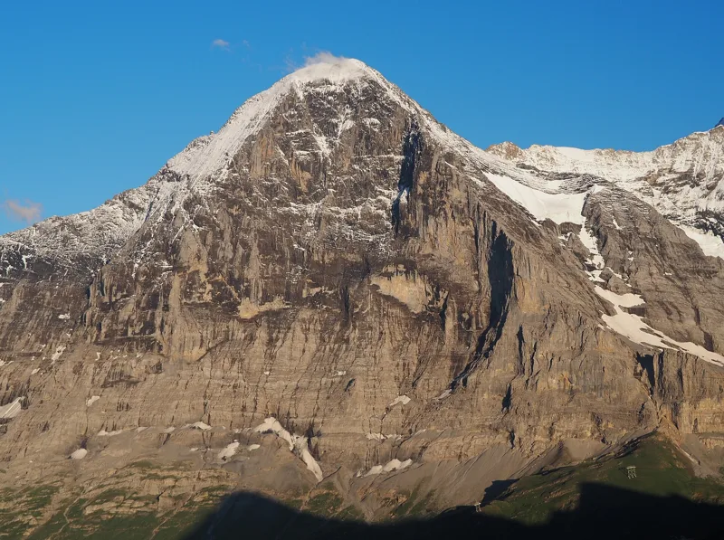 Grindelwald (Eigergletscher) → Grindelwald (Alpiglen)1 h 55Eiger Trail6.0kmDistance100mAscent820mDescentTechnical mediumFitness medium. See the hike
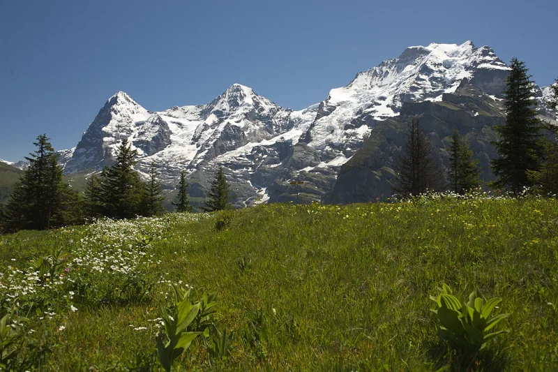 Lauterbrunnen (Grütschalp) → Mürren (Allmendhubel)2 h 00Mountain View Trail5.0kmDistance520mAscent110mDescentTechnical mediumFitness medium. See the hike
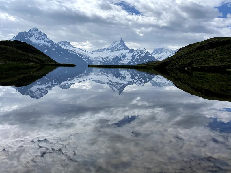 Schynige Platte → Grindelwald, First5 h 45ViaBerna, stage 1517.0kmDistance1,100mAscent900mDescentTechnical mediumFitness difficult. See the hike
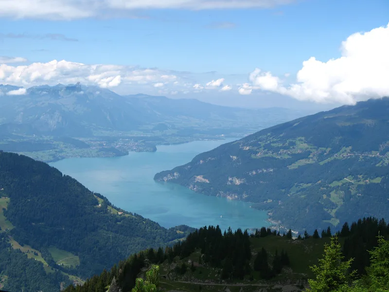 Schynige Platte, loop1 h 55Panoramaweg Schynige Platte6.0kmDistance340mAscent340mDescentTechnical mediumFitness easy. See the hike
- Grindelwald → Lauterbrunnen6 h 40Via Alpina, stage 1120.0kmDistance1,150mAscent1,400mDescentTechnical easyFitness difficult. Page coming
- Lauterbrunnen → Griesalp9 h 00Via Alpina, stage 1222.0kmDistance2,000mAscent1,400mDescentTechnical mediumFitness difficult. Page coming