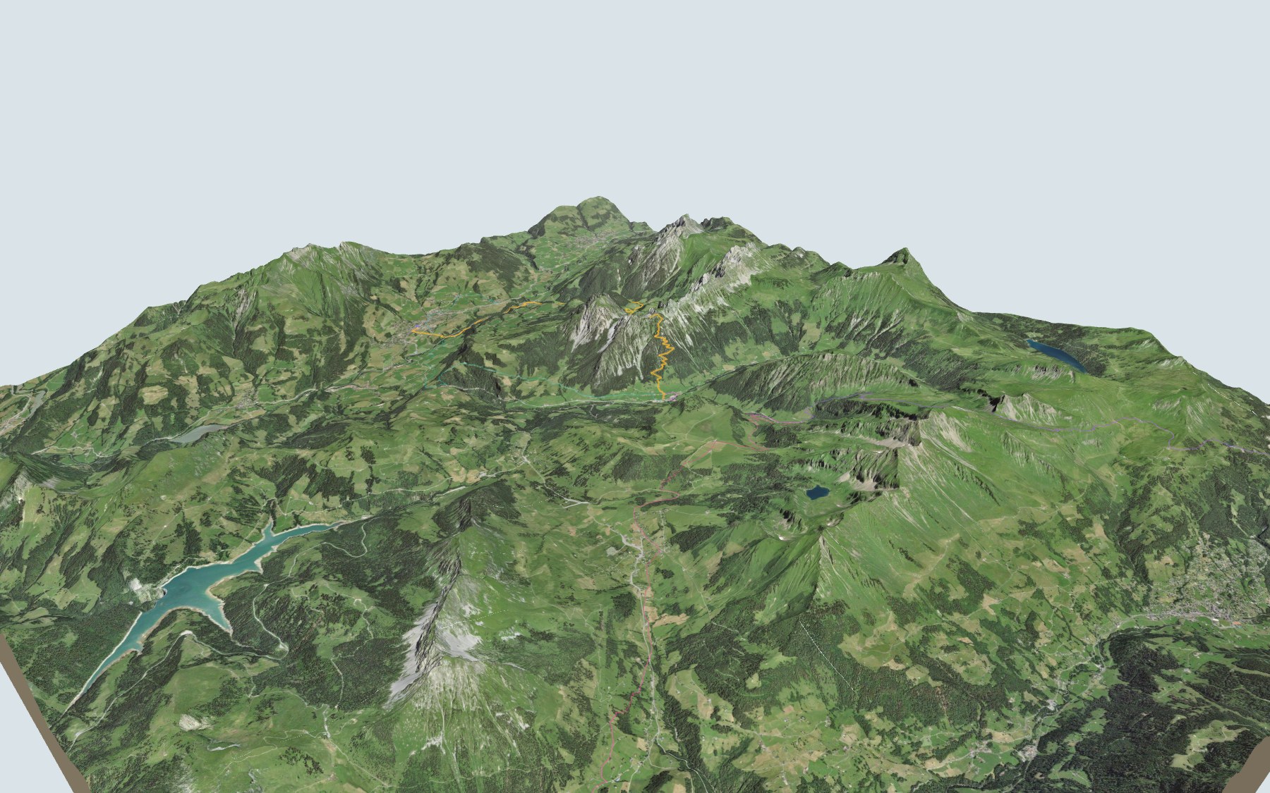

From Château-d'Oex to L'Etivaz over La Douve
This is stage 4 of the Tour des Alpes vaudoises, SwitzerlandMobility route no. 46. You leave Château-d'Oex, cross the Sarine river, then climb to the Plan de la Douve before dropping down to L'Etivaz. SwitzerlandMobility rates the stage difficult for fitness and medium for technique.
The first three kilometres stay low, with little height gain: the path crosses the Sarine, passes near the Ramaclé waterfall, then goes through Gérignoz. After that it climbs, past the Gérine stream, La Montagnette, the Plan de l'Etalle and La Case, up to the highest point, just before the Plan de la Douve. The stage profile shows you where it gets steep.
Fancy a different start? Les Granges-Gérignoz, the Col du Pillon, Solepraz and Flendruz each have their own colour in the 3D view and an estimated time under all starting points. The previous stage of the same tour ends in Château-d'Oex: Les Mosses → Château-d'Oex.
At the finish: L'Etivaz, where a cooperative cellar was built in 1934 to mature the alpine cheese. The bus leaves from the L'Etivaz, Maison de L'Etivaz stop: check the next departures and plan your day before you set off. Looking for more in the area? See all hikes in the Vaud Alps.
The story of the trail
What happened where you are going to walk, chapter by chapter.
Across the Sarine, then up to La Douve
You start at 968 m at Château-d'Oex station and finish at 1,140 m in L'Etivaz. In between: 13.6 km, plus 1,200 m of climbing and 1,000 m of descent according to SwitzerlandMobility. It gives 5 h 30 of walking time in this direction, and 5 h 20 the other way.
The path crosses the Sarine shortly after the start, passes near the Ramaclé waterfall, then goes through Gérignoz. It crosses the Gérine halfway along, passes La Montagnette, the Plan de l'Etalle and La Case, and reaches its highest point, 2,007 m, just before the Plan de la Douve. Shortly after, you pass the Douve refuge, then the descent goes through the Bois de la Chapelle. The cafés and restaurants are all in Château-d'Oex, at the start, so bring food with you. For water, you'll find fountains on the way, for example before the Gérine, just after it, and at the Douve refuge. On the way, follow the signposts and check the conditions on the day.
The village where the balloon set off around the world
In 1800, a great fire destroyed the wooden houses built on the central hill of Château-d'Oex. The dean Philippe-Sirice Bridel organised collections to rebuild the village in stone. In 1904, the arrival of the Montreux-Oberland Bernois railway (MOB) made the village more attractive as a holiday resort, popular with British visitors.
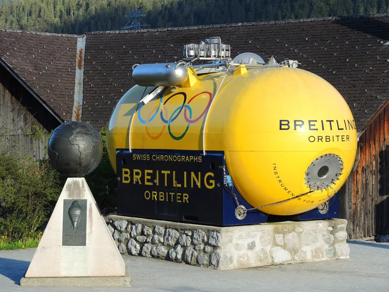
The balloon festival was born where the ambition of the tourist office director met a local weather quirk: winter conditions that are very favourable for hot-air balloon flights. The first International Hot-Air Balloon Week was set up in 1979. On 1 March 1999, Bertrand Piccard and Brian Jones took off from Château-d'Oex aboard Breitling Orbiter 3. They landed in the Egyptian desert on 21 March 1999, completing the first non-stop flight around the world in a free balloon.
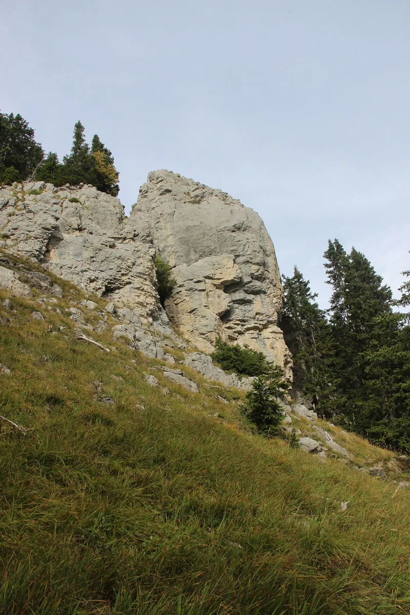
Rocks born on the edge of a lagoon
Underfoot, it's mostly recent deposits: for most of the way, you walk on alluvium, torrent deposits, scree or moraine left by local glaciers as they retreated after the Last Glacial Maximum.
Near the highest point, you cross Triassic limestone and dolomite belonging to the Préalpes médianes nappe. Just after the refuge, the Mytilus Beds begin. They are named after a fossil, the bivalve Mytilus. They record a shift from a marshy coastal plain to a tidal flat, then to a lagoon, in a warm climate with palm trees. They contain bivalves, snails, brachiopods, sea urchins and plant remains.
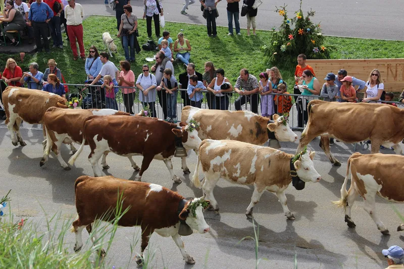
A cheese made over a wood fire
L'Etivaz is also the name of an alpine cheese with protected designation of origin (AOP). Its specification requires the cows to be milked twice a day on the summer farm where the milk is made into cheese, and the cheese to be made in copper vats heated only over a direct wood fire. Ripening lasts at least until the cheese's 135th day, in the former district of Pays-d'Enhaut.
Cheese production in the Pays-d'Enhaut was falling until the 1930s, because of a drop in quality linked to poor storage in the chalet cellars. In 1932 the alpine tenant farmers decided to form a cooperative, and they built the L'Etivaz cellars in 1934; the cooperative was inaugurated on 24 May 1935. The L'Etivaz désalpe, for its part, celebrates the herds coming back after the summer on the alpine pastures.
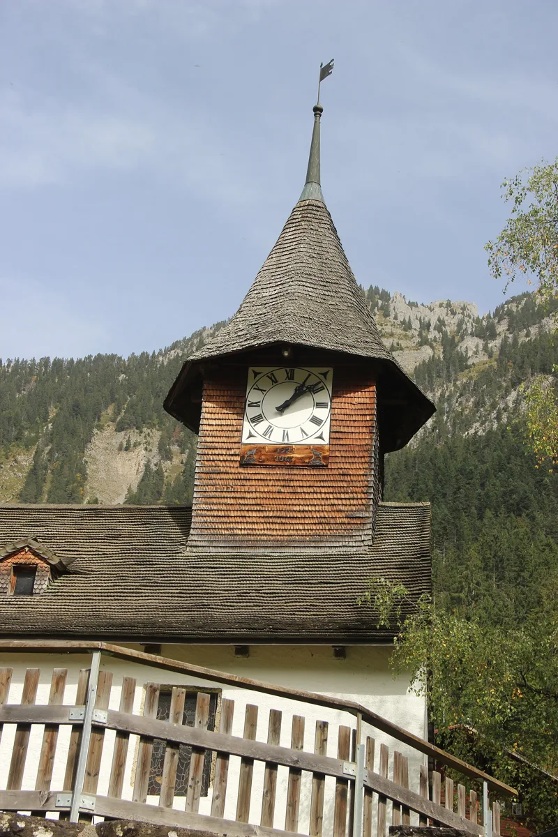
L'Etivaz, between the Torneresse and the Eau Froide
Shortly before the finish, the path enters L'Etivaz, a village and former parish in the south of the municipality of Château-d'Oex, created in 1713, with a chapel from the 15th century. A thermal bath drew visitors here from 1714. The Historical Dictionary of Switzerland explains its name as "Léthuà, or border in the local dialect" and calls the Torneresse the stream that "turns the saws".
You arrive at 1,140 m, near the Torneresse and the Eau Froide. The bus leaves from the L'Etivaz, Maison de L'Etivaz stop; further down this page: the next departures.
Every way to L'Etivaz
5 starting points to reach L'Etivaz. Pick yours: the 3D view shows it and “My day” recalculates.
Walking times without breaks. “Estimated” times are calculated on the swisstopo profile with a model fitted to the official SwitzerlandMobility stages; the shortest path may differ from the one on the yellow signposts: on the ground, follow the signs. Gradient: the steepest over 200 m of trail. Profiles share the same scale (length and altitude). Stations and car parks within 500 m of the start, according to OpenStreetMap.
In pictures
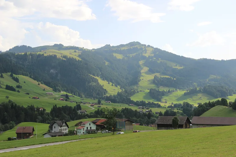
Scenic view in Château-d'Oex
Grand Rue, Château-d'Oex
Church of Château-d'Oex
The Breitling Orbiter 1, Place du Village, Château-d'Oex
Near La Douve
Rocks near La Douve
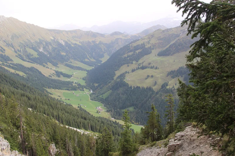
View into the Torneresse Valley
La Torneresse
Désalpe in L'Etivaz
Church of L'Etivaz
The next few days
MeteoSwiss local forecast, updated every hour
Reading the MeteoSwiss forecast…
My day
Pick your day and start time: everything updates.
- Arrival at L'Etivaz
- 14:00 5 h 30 of walking without breaks, starting at 08:30
The trail, kilometre by kilometre
Places are listed under the kilometre where you pass them. Drag along the profile: the marker moves on the 3D view too.
- under 10 %
- 10 to 20 %
- 20 to 30 %
- over 30 %
- fountain or water point
- toilets
Around the trail (250 m, OpenStreetMap, extract of 25/10/2026): 6 restaurants, 3 cafés, 17 fountains and water points, 8 toilets. Estimated time: the official walking time spread by effort (1 km on the flat counts as 100 m of climbing), start time set in “My day”.
Getting there and back
Back by public transport from the L'Etivaz, Maison de L'Etivaz stop
Next departures from L'Etivaz, Maison de L'EtivazReading the official timetable…
By car
Careful, this is one way: public transport back arrives in L'Etivaz, Maison de L'Etivaz, not in Château-d'Oex. Plan to get back to your car by public transport, or park at the finish and take the train to the start.
- Lo Carroz di Bossonspaid280 m from the start
- Le Motelopen-air · free320 m from the start
- Petit Pré590 m from the start
- Car park open-air, Grand Ruepaid70 m from the start
Public car parks within 600 m of the start, according to OpenStreetMap: prices and number of spaces may have changed, check the signs on site.
Questions people ask
How long is the hike from Château-d'Oex to the finish (L'Etivaz)?
5 h 30 of walking according to SwitzerlandMobility, in this direction, not counting breaks. The other way: 5 h 20.
Is it hard?
SwitzerlandMobility rates this stage: fitness difficult, technique medium. It is 1,200 m of climbing over 13.6 km.
Can I get back by public transport?
Yes. The L'Etivaz, Maison de L'Etivaz stop is at the finish. The next departures show live under “Getting there and back”.
Where can I eat on the way?
9 restaurants, cafés and huts within 250 m of the trail, including Buffet de la Gare, Café des Bossons, Le Chalet. Where they are and their opening hours: below the profile.
Is there water and are there toilets on the way?
17 fountains and water points and 8 toilets within 250 m of the trail (survey of 25/10/2026).
Can I download the track?
Yes, as a GPX file for your watch or map app: “Download the track” button at the top of the page.
More hikes within 10 km
Official SwitzerlandMobility stages that pass within 10 km of this trail. Each card says whether its page is already up.
 Les Mosses → Château-d’Oex4 h 15Tour des Alpes Vaudoises, stage 315.0kmDistance400mAscent880mDescentTechnical mediumFitness medium. See the hike
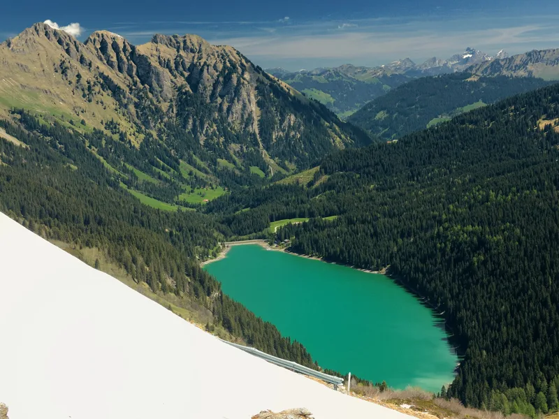 Col du Pillon, loop3 h 10Tour de La Palette9.0kmDistance560mAscent560mDescentTechnical mediumFitness medium. See the hike
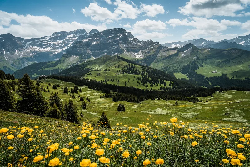 Les Diablerets → Villars-sur-Ollon6 h 10Tour des Alpes Vaudoises, stage 618.0kmDistance1,100mAscent1,000mDescentTechnical mediumFitness difficult. See the hike
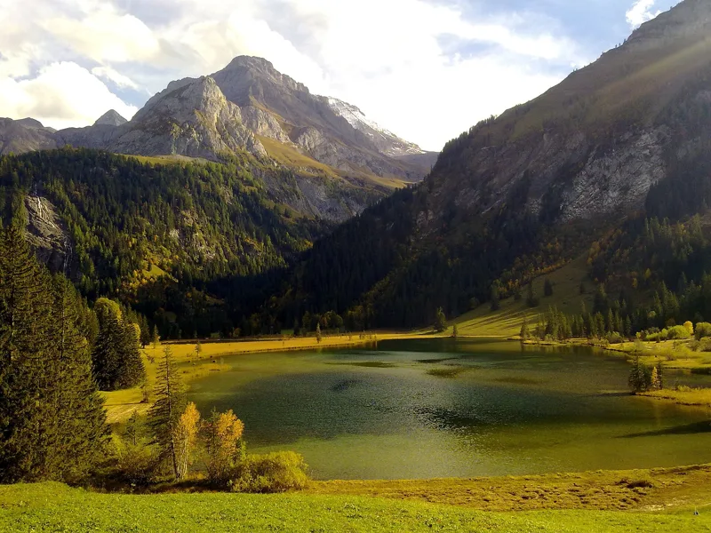 Station Höhi Wispile → Lauenen4 h 00Höhi-Wispile-Lauenensee-Weg14.0kmDistance300mAscent950mDescentTechnical mediumFitness difficult. See the hike
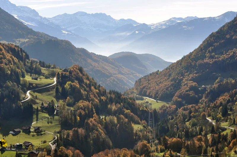 Le Sépey, loop2 h 20Sentier des ponts historiques du Sépey7.0kmDistance400mAscent400mDescentTechnical easyFitness medium. See the hike
- L'Etivaz → Rossinière3 h 40Via Alpina, stage 1814.0kmDistance320mAscent580mDescentTechnical easyFitness medium. Page coming