Tell us how old your youngest is. We double the walking time, as the Swiss Hiking Trail Federation recommends, and show you where the toilets, water, places to eat and picnic spots are along each route.
On each card: where the toilets, water, places to eat and picnic tables are, from the start (left) to the finish (right), from OpenStreetMap within 250 m of the trail. A fountain can be dry or a restaurant closed: bring something to drink and eat anyway.
What makes their eyes light up
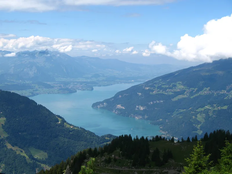
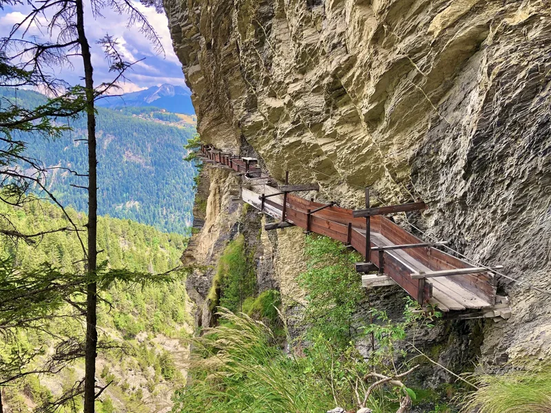
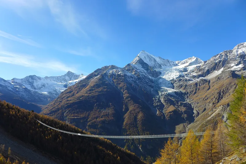
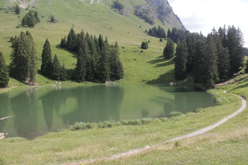
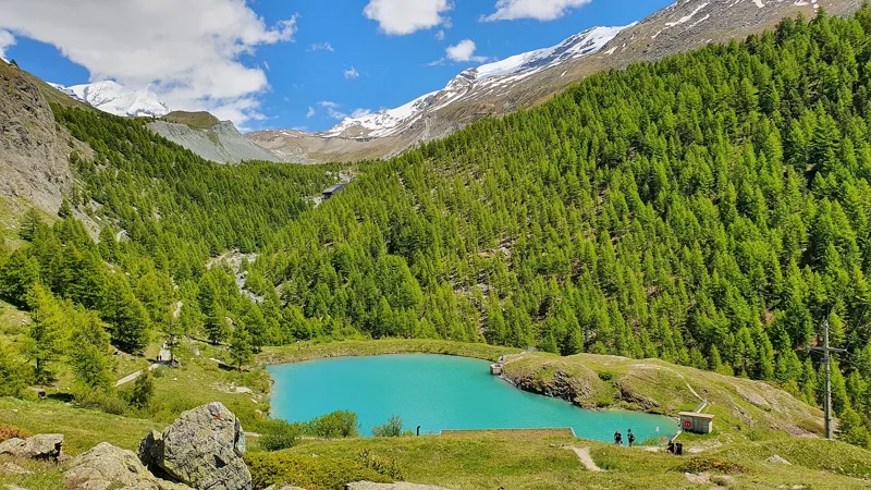
A lake, a little train that climbs, a bridge or a bisse: what there is to see on the way.
Swiss Hiking Trails suggests 4 hours at most for ages 4 to 6, up to 5 hours for 7 to 9, and 6 to 7 hours from age 10. Allow double an adult's time.
What does easy mean on SwitzerlandMobility?
For fitness: up to 12 km, 400 m of ascent and 3 hours of walking. For technique: a yellow-marked hiking trail with no special requirements.
Can I hike with a baby in a carrier?
Yes, with plenty of breaks: a baby barely moves and gets cold or hot quickly. A wide path makes carrying more comfortable.
What should I do if cows are on the path?
Walk slowly around the herd, never touch a calf and keep your dog on a short lead. If a cow gets agitated, back away calmly and leave the pasture.
Can we buy food and drink along the way?
Every route page counts the fountains, water points and restaurants on the way. Still pack a picnic and water.
BobYour hiking guide. Hikes, nature and Swiss mountains.
Bob relies on the site's data (SwitzerlandMobility, MeteoSwiss, official timetable) and can be wrong. On the ground, the signposts come first. Emergency: 1414 (Rega) or 112.