
Following the salt trail from Ollon to Bex
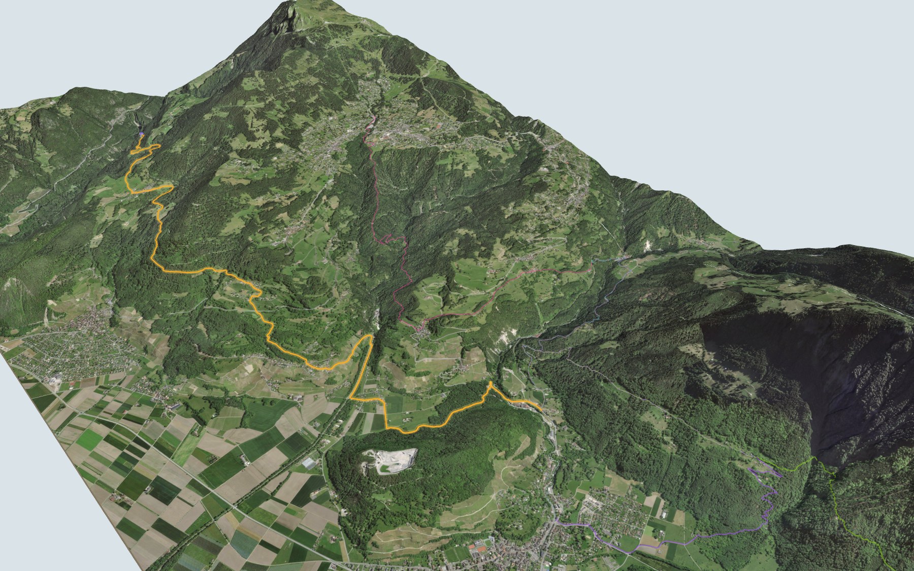
A hike that tells a story: the story of salt in the Vaud Alps. You start at Plambuit station, on the Aigle–Les Diablerets line, pass through Salins, where a salt spring was apparently found in 1534, and finish at Le Bévieux, near Bex, where the saltworks stands. A short climb at the start, then mostly downhill, with a few short rises. SwitzerlandMobility rates it medium for fitness and easy for technique.
After Salins, the path crosses the hamlet of Panex and the Bois de Confrêne, then Glutières and Antagnes, through hamlets, forests and vineyards. It crosses the Gryonne, passes Les Dévens and reaches the Avançon at Le Bévieux. The route profile shows the early bump and the long descent that follows.
Want a shorter version, or a different start? From Fontannaz-Seulaz and Villars you walk down to Le Bévieux; from Pont-Neuf and Saint-Maurice you climb first. Each start has its own colour in the 3D view and its estimated time in all starting points. Another hike nearby: the Gypsum Pyramids Trail, starting from Bretaye.
At the finish, the Le Bévieux stop and the Bex–Villars line take you down to Bex. Check the next departures from Le Bévieux and plan your day before you set off. Looking for more in the area? See all hikes in the Vaud Alps.
The story of the trail
What happened where you are going to walk, chapter by chapter.
One bump, then the long way down
You start at 802 m, at Plambuit station, and finish at 483 m, at Le Bévieux. In between: 13.2 km, with 360 m of climbing and 680 m of descent according to SwitzerlandMobility. The highest point, at 1,022 m, comes shortly after Salins. SwitzerlandMobility gives 3 h 35 of walking in this direction and 4 h 00 the other way.
The path goes through Salins, passes near the Creux d'Enfer ravine and enters Panex, where the restaurant Chez Anita et François is right by the path. It continues through the Bois de Confrêne, Glutières, Antagnes, Salaz and Le Bouillet, with the Auberge du Bouillet a short detour off the path. It then crosses the Gryonne, passes Les Dévens, and reaches the Avançon at Le Bévieux. On the way, follow the signposts and check the conditions on the day.
Salins, where it all began
According to the Federal Inventory of Swiss Heritage Sites (ISOS), a salt spring that looked promising was found in 1534, "it seems", at the place now called Salin, above Panex. With it, the Bernese authorities got hold of "the first salt spring on Swiss territory". Mining it would eventually prove disappointing. The first saltworks was built at Salin: brine was boiled in large flat pans to extract the salt.
The Panex salt spring was worked from 1554 to 1832. A trace of Hallstatt-period occupation has also been found in the Creux d'Enfer, near Panex, along with a grave at Panex that seems to date from the Late Bronze Age.
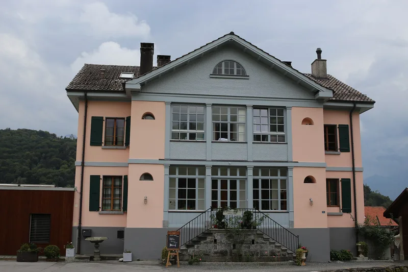
Bernese salt
The "salt mountain" became Bernese in 1476, during the Burgundian Wars. Boiling brine used huge amounts of wood, so saltworks were built down in the valley, next to rivers used to float the logs. The first appeared around 1580 at Roche. After salt springs were rediscovered at Le Fondement in 1674, a second valley saltworks was set up at Le Bévieux, on the Avançon; brine boiling is recorded there in 1681. In 1685 the State of Bern took over, buying the mines and saltworks from private owners.
The most famous director general of the saltworks was the Bernese scholar Albert de Haller (Albrecht von Haller), in office from 1758 to 1764. In the 1790s, the mines captain François Samuel Wild had a new works built at Les Dévens. At Le Bévieux, masonry pillars still stand: until the 19th century they carried wooden pipes that brought brine to the saltworks.
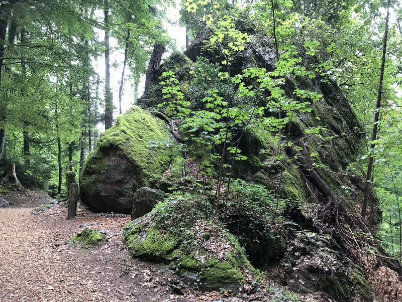
Chestnut trees, the Gryonne and boulders left by glaciers
Before Antagnes, the path passes a centuries-old chestnut tree. Vines and chestnut trees grow on the slopes of Bex. Further down, the trail crosses the Gryonne, then reaches the Avançon.
Near Les Dévens, at the foot of the Montet hill, stand two erratic boulders: the Bloc Monstre, made of limestone, and the Pierra-Bessa. The Montet hill itself is gypsum. 17,000 years ago the Chablais lay under ice; as the glacier melted, it left many boulders behind, including these two giants. Jean de Charpentier, director of the Bex saltworks from 1813, lived at Les Dévens until his death in 1855. He helped develop the glacial theory, and his 1841 book helped convince the scientific community. The Bloc Monstre owes its name to him.
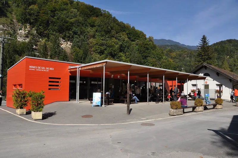
Le Bévieux: saltworks and train
The trail ends at Le Bévieux, in the Avançon valley. The ISOS describes it as a site "housing the activities of a saltworks since the 17th century". In 1984, part of the mines, reached from the Le Bouillet entrance, was fitted out for visitors. The Bex Salt Mines website offers tours of what it calls "the oldest working mine in Switzerland". In 2014, the Le Bévieux works produced about 30,000 tonnes of salt a year, nearly two thirds of it for salting roads in winter.
The railway between Bex station and Le Bévieux opened in 1898; the line reached Gryon in 1900 and Villars the following year. At the Le Bévieux stop, you take this train back down to Bex. The rest of the page gives the next departures.
Every way to Bex
5 starting points to reach Bex. Pick yours: the 3D view shows it and “My day” recalculates.
Walking times without breaks. “Estimated” times are calculated on the swisstopo profile with a model fitted to the official SwitzerlandMobility stages; the shortest path may differ from the one on the yellow signposts: on the ground, follow the signs. Gradient: the steepest over 200 m of trail. Profiles share the same scale (length and altitude). Stations and car parks within 500 m of the start, according to OpenStreetMap.
In pictures
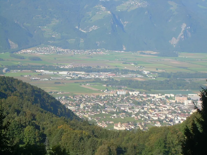
Aigle, seen from Plambuit
Maison du sel in Panex, on the salt trail between Panex and Plambuit
The village of Panex
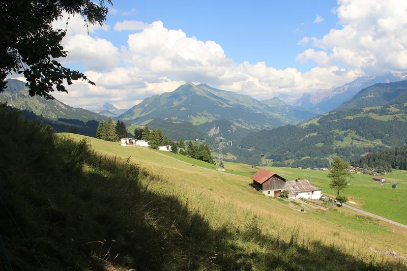
Meadows between the hamlets of Glutières and La Pousaz
The great chestnut tree of Antagnes
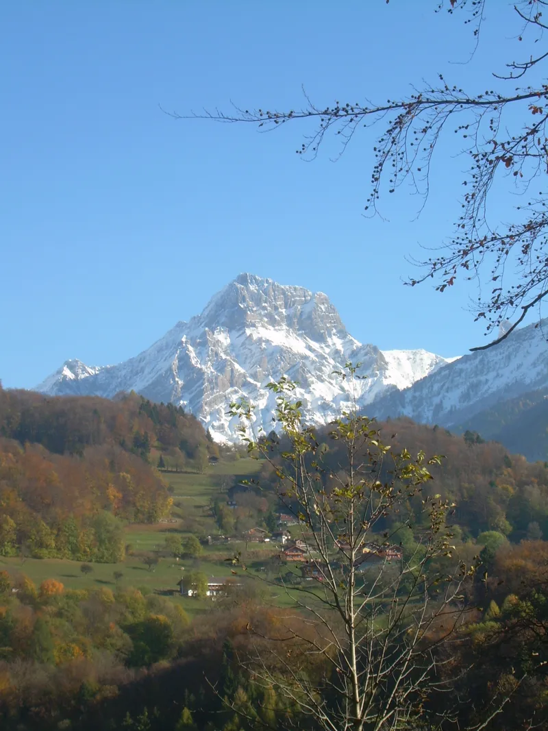
The Grand Muveran from the Antagnes vineyards, looking towards the Gryonne
The Gryonne river near Salaz and Les Dévens
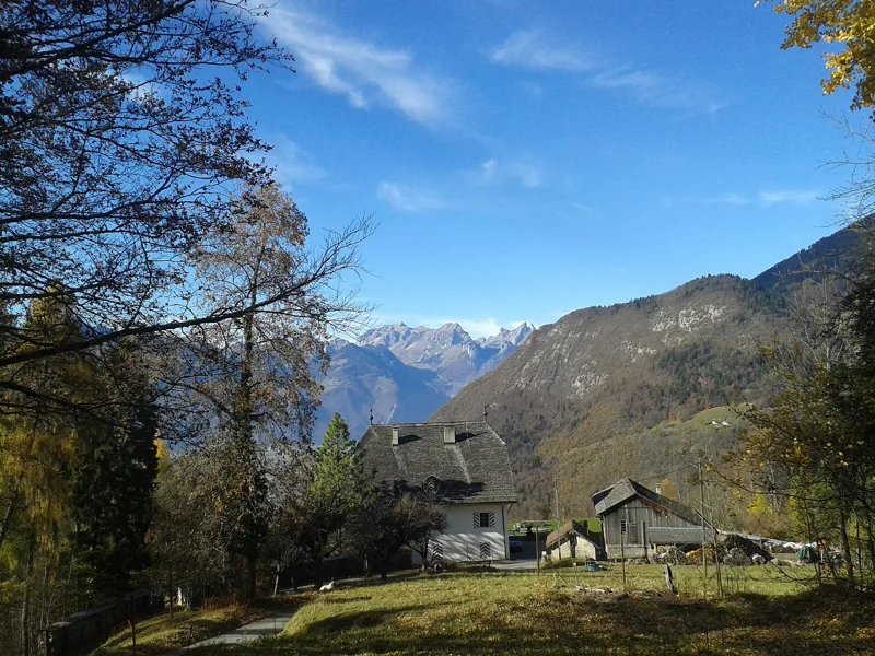
Former house of the director of the saltworks
The Bloc Monstre, a glacial erratic at Les Dévens, Bex
Bex salt mine museum
The next few days
MeteoSwiss local forecast, updated every hour
Reading the MeteoSwiss forecast…
My day
Pick your day and start time: everything updates.
- Arrival at Bex
- 12:05 3 h 35 of walking without breaks, starting at 08:30
The trail, kilometre by kilometre
Places are listed under the kilometre where you pass them. Drag along the profile: the marker moves on the 3D view too.
- under 10 %
- 10 to 20 %
- 20 to 30 %
- over 30 %
- fountain or water point
- toilets
Around the trail (250 m, OpenStreetMap, extract of 25/10/2026): 2 restaurants, 0 cafés, 14 fountains and water points, 1 toilet. Estimated time: the official walking time spread by effort (1 km on the flat counts as 100 m of climbing), start time set in “My day”.
Getting there and back
Back by public transport from the Bévieux, gare stop
Next departures from Bévieux, gareReading the official timetable…
By car
Careful, this is one way: public transport back arrives in Bévieux, gare, not in Plambuit. Plan to get back to your car by public transport, or park at the finish and take the train to the start.
Public car parks within 600 m of the start, according to OpenStreetMap: prices and number of spaces may have changed, check the signs on site.
Questions people ask
How long is the hike from Plambuit to the finish (Bex)?
3 h 35 of walking according to SwitzerlandMobility, in this direction, not counting breaks. The other way: 4 h 00.
Is it hard?
SwitzerlandMobility rates this stage: fitness medium, technique easy. It is 680 m of descent over 13.2 km.
Can I get back by public transport?
Yes. The Bévieux, gare stop is at the finish. The next departures show live under “Getting there and back”.
Where can I eat on the way?
2 restaurants, cafés and huts within 250 m of the trail, including Chez Anita et François, Auberge du Bouillet chez le Chat. Where they are and their opening hours: below the profile.
Is there water and are there toilets on the way?
14 fountains and water points and 1 toilet within 250 m of the trail (survey of 25/10/2026).
Can I download the track?
Yes, as a GPX file for your watch or map app: “Download the track” button at the top of the page.
More hikes within 10 km
Official SwitzerlandMobility stages that pass within 10 km of this trail. Each card says whether its page is already up.
 Aigle → Leysin3 h 10Tour des Alpes Vaudoises, stage 17.0kmDistance1,000mAscent10mDescentTechnical mediumFitness difficult. See the hike
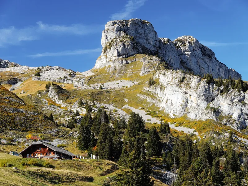 Leysin, Berneuse → Leysin2 h 45Sentier des trois tours de Leysin9.0kmDistance220mAscent880mDescentTechnical mediumFitness medium. See the hike
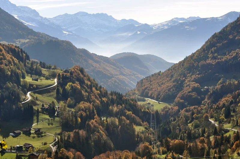 Le Sépey, loop2 h 20Sentier des ponts historiques du Sépey7.0kmDistance400mAscent400mDescentTechnical easyFitness medium. See the hike
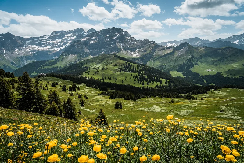 Les Diablerets → Villars-sur-Ollon6 h 10Tour des Alpes Vaudoises, stage 618.0kmDistance1,100mAscent1,000mDescentTechnical mediumFitness difficult. See the hike
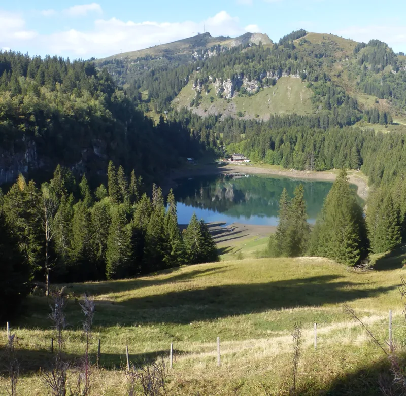 Bretaye, loop3 h 35Chemin des pyramides de Gypse12.0kmDistance540mAscent540mDescentTechnical mediumFitness medium. See the hike
 Solalex, loop5 h 15Tour de L’Argentine13.0kmDistance1,050mAscent1,050mDescentTechnical mediumFitness difficult. See the hike