
Skip to content
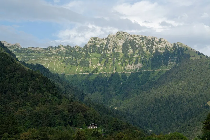
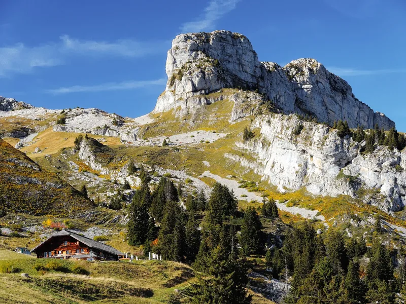
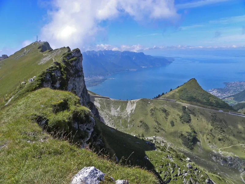
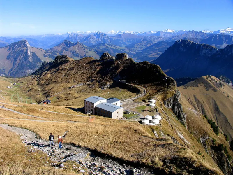
The Rochers-de-Naye cliffs above Lake Geneva

Bivio / Vaud Alps

Hiking in the Vaud Alps

What to see, what flowers up high, what to eat, and 12 hikes to get there on foot, from 2 h 00 to 6 h 10 of walking.

See first

The spots not to miss, and the hike that takes you there.

The numbers are the places just below. The white dots are where the hikes start.

The summit and its buildings, with the Alps in the distance

1Rochers-de-Naye and La Rambertia garden

A few minutes from the summit station, this alpine garden grows around 1,000 species of mountain plants from Switzerland, Europe and other continents. It has been here since 1896 and opens from mid-June to October, weather permitting.

Getting there on foot

Rochers-de-Naye5 h 35From Montreux to Rochers-de-Naye station
Saleuscex

2Ruins of the Salausex tower

A square medieval tower, probably from the 10th or 11th century, with almost nothing left of it. It served as a refuge and a lookout post between the castles of Chillon, Le Châtelard and Blonay.

Getting there on foot

Chemin des Narcisses2 h 00Loop from Montreux, Les Avants

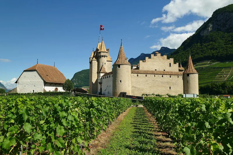
Aigle, Switzerland

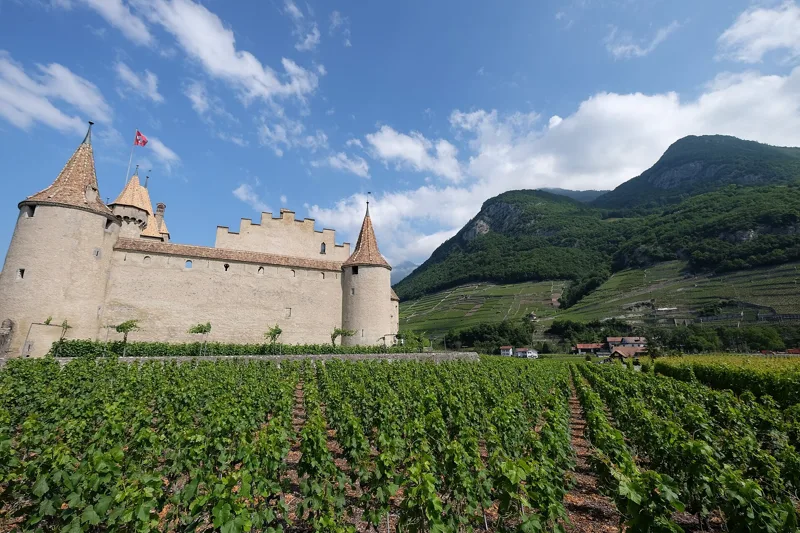
3Aigle Castle

Its oldest part probably dates from the late 12th century; the Bernese rebuilt it after 1475. Inside is the Museum of Vines, Wine and Wine Labels: over 10,000 objects and over 400,000 wine labels.

Getting there on foot

Aigle → Leysin3 h 10From Aigle to Leysin

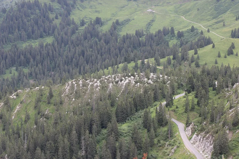
The gypsum pyramids in the forest, seen from above

4Gypsum pyramids of the Col de la Croix

White, pointed shapes carved by water and wind into gypsum laid down more than 210 million years ago. You can only see them in summer.

Getting there on foot

Chemin des pyramides de gypse3 h 35Loop from Bretaye

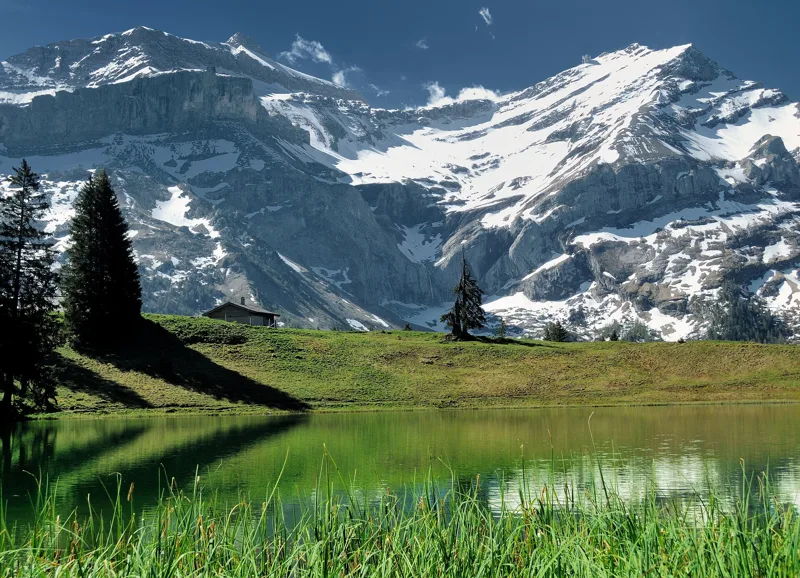
Oldenhorn and Scex Rouge from Lac Retaud

5Lac Retaud

At 1,685 m, at the foot of La Palette, facing the Scex Rouge, the Oldenhorn and the Diablerets glacier. In summer you can swim, paddleboard or fish here.

Getting there on foot

Tour de La Palette3 h 10Loop from Col du Pillon

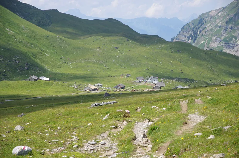
Anzeindaz mountain pasture, Bex, Vaud

6Anzeinde plateau

1,000 ha of grass: the Federal Inventory of Landscapes calls it "the largest pasture in the canton of Vaud and one of the most extensive in Switzerland". People from Bex have farmed this alpine pasture since at least the 13th century.

Getting there on foot

Tour de l'Argentine5 h 15Loop from Solalex

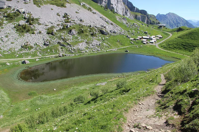
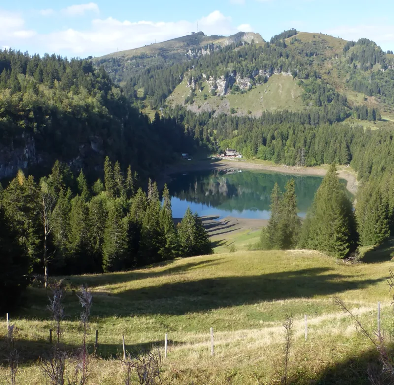
Lac d'Aï

7Lac d'Aï

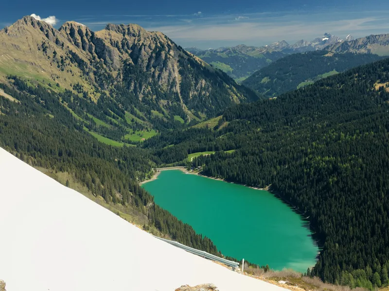
Together with Lac Yaka and Lac de Mayen, it forms a string of mountain lakes at the foot of the Tour d'Aï and Tour de Mayen. You walk down to it from La Berneuse, where the gondola goes up.

Getting there on foot

Sentier des trois tours de Leysin2 h 45From Leysin, Berneuse to Leysin

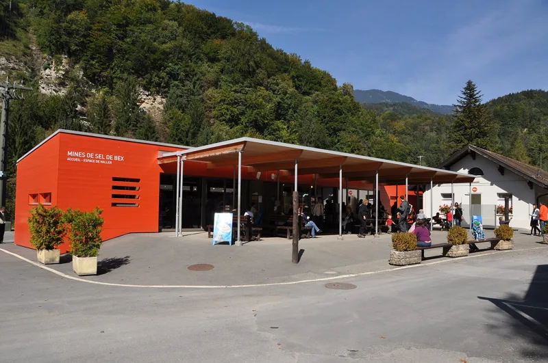
Bex salt mine museum

8Bex salt mines

You can tour what Salina Helvetica presents as "the oldest working mine in Switzerland". Alpine salt is still extracted here.

Getting there on foot

Sentier du Sel3 h 35From Plambuit to Bex

A little further away

  • Chillon Castle

    First mentioned in writing in 1150. The Bernese took it on 29 March 1536; in 1816, Lord Byron drew inspiration from its prisoner, François Bonivard.

    Our nearest hike, the Rochers-de-Naye, passes 1.9 km away, high above.

  • Glacier 3000 Peak Walk

    107 m long and 80 cm wide, from the View Point to the Scex Rouge. Glacier 3000 presents it as the only suspension bridge in the world linking two summits.

    Our nearest hike, the La Palette loop, is 3 km away.

  • Lac Lioson

    The tourist office nicknames it the "pearl of alpine lakes". It is home to Arctic char and rainbow trout.

    Our nearest hike, Les Mosses → Château-d'Oex, is 2.4 km away.

Nature, month by month

When things flower, when the animals show up: the mountains, month by month.

NarcissusApril to June, depending on altitude; in May they turn the fields above Montreux white.
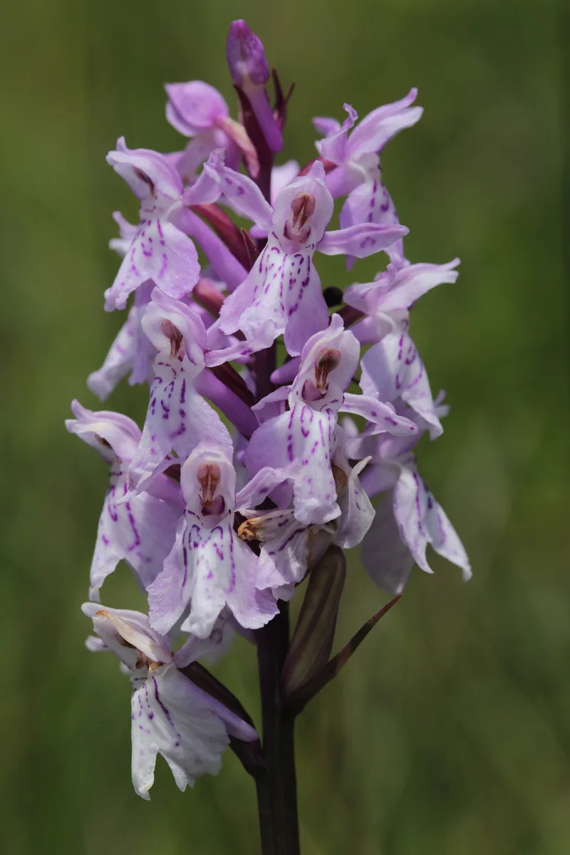
Common spotted orchidIt flowers in wet meadows and open woodland.
Sweet chestnutA tree of warm, low-lying forests; you'll pass some on the slopes of Bex.
Bearded bellflowerIt flowers in meadows and open woodland, on soils low in lime.
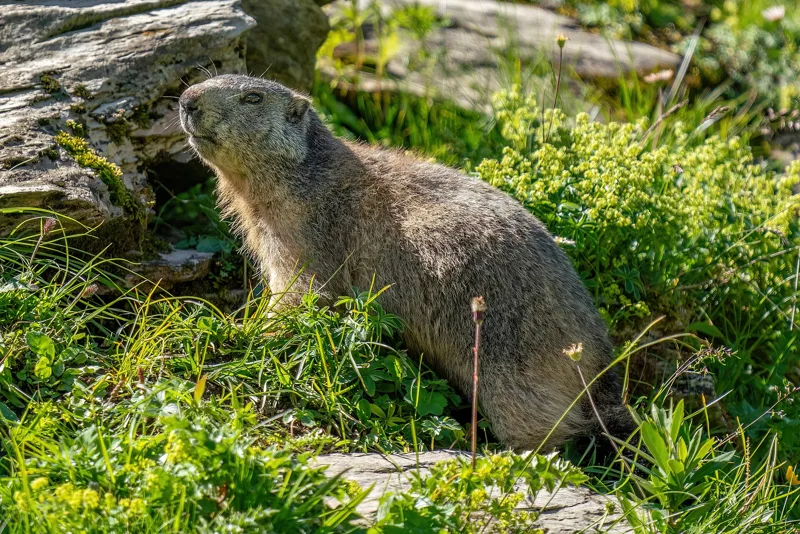
Alpine marmotFrom late September, it settles in to hibernate.
hibernation
ChamoisIt stays up high, even in winter.
rut
Rock partridgeAll year round, but uncommon: it is listed as vulnerable in Switzerland.
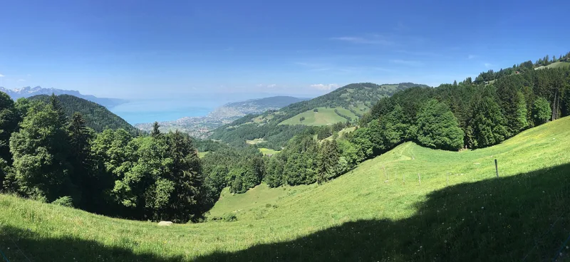
Lake Geneva seen from La Pacoresse, above Sonloup

May snow

From Mont-Pèlerin to the hills above Montreux, the narcissi bloom so thickly in May that the fields turn white. In less than 20 years, around 40% of the narcissus meadows have disappeared: look, but don't pick. This photo was taken above Sonloup.

Chemin des Narcisses2 h 00

Wild marmot in the Grand Muveran game reserve

The marmots

This one lives in the Grand Muveran federal wildlife reserve, which the Argentine loop crosses. In late September, marmots settle in to hibernate.

Tour de l'Argentine5 h 15

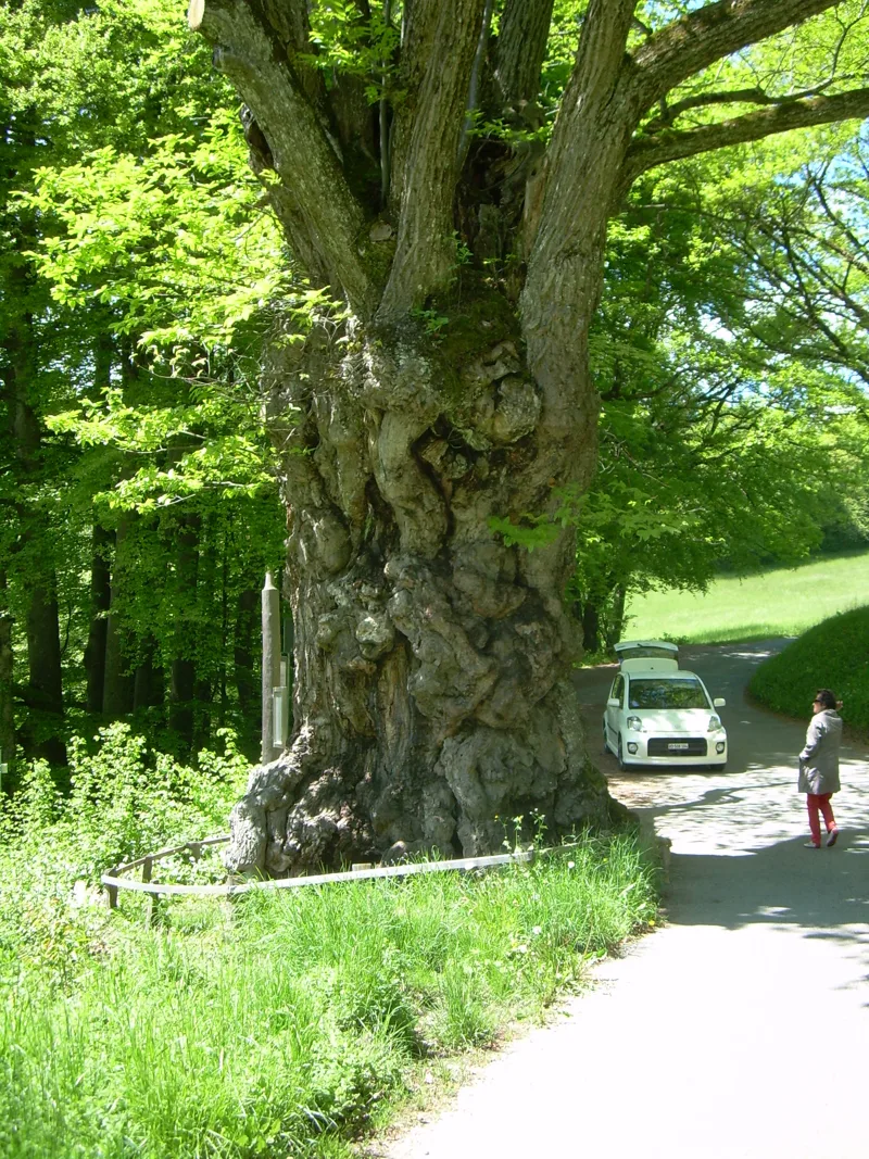
The great chestnut tree of Antagnes

The chestnut trees of Bex

Vines and chestnut trees grow on the slopes of Bex. Before Antagnes, the Salt Trail passes a centuries-old chestnut tree. It flowers in June.

Sentier du Sel3 h 35

What to eat in the Vaud Alps

Local produce, the ones with an official designation.

Weekend ideas

Two hikes close together, the train or bus in between, and a good reason to do both.

Montreux, from the narcissi to the Rochers-de-Naye

Train from Les Avants to Montreux: about 30 min. You can also start straight from Les Avants, one of the starting points for the Rochers-de-Naye. Check the timetable on the day.

Two hikes in the hills above Montreux: the narcissus loop on day one, the climb to the summit and the cogwheel train on day two.

Tour des Alpes vaudoises, stages 3 and 4

None: the first stage ends at Château-d'Oex station, where the second one starts. To get back from L'Etivaz by bus, check the timetable on the day.

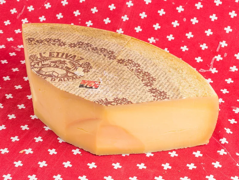
Two back-to-back stages: from the marshes of the Col des Mosses to Château-d'Oex, then on to the cheese cellars of L'Etivaz.

Bex, from salt to alpine pasture

Train and bus from Le Bévieux to Solalex: about 1 h 30, with a summer bus. Check the timetable on the day.

Two hikes in the municipality of Bex: the salt of the Bernese on day one, the vast Anzeinde pasture on day two.

When to go

The lifts and summer buses that take you to the start, with their dates.

At altitude there can be snow even in summer, and in late autumn some bridges or cables are taken down. Randa council information

Stories from the region

What happened where you're about to walk.

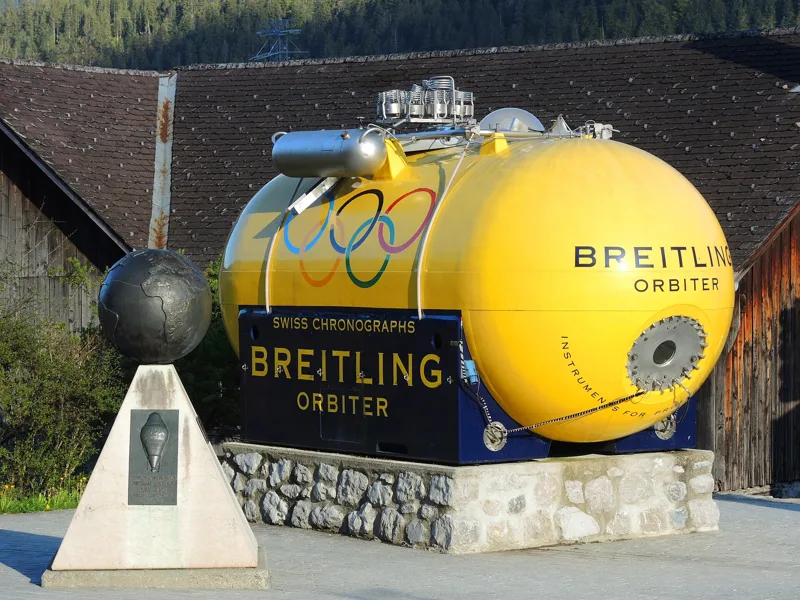
The Breitling Orbiter 1, Place du Village, Château-d'Oex

The village where the balloon set off around the world

In 1979, Château-d'Oex held the first International Hot Air Balloon Week: winter here is perfect for flying. On 1 March 1999, Bertrand Piccard and Brian Jones took off from the village in the Breitling Orbiter 3. They landed in the Egyptian desert on 21 March: the first non-stop round-the-world balloon flight.

Château-d'Oex → L'Etivaz5 h 30
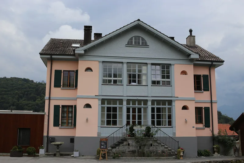
Former house of the director of the saltworks

Bernese salt

In 1476, the "salt mountain" became Bernese. Boiling the brine burned so much wood that the saltworks moved down to the plain, beside rivers used to float logs, as at Le Bévieux in 1681. From 1758 to 1764, they were run by the scholar Albrecht von Haller.

Sentier du Sel3 h 35
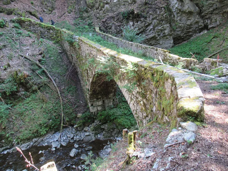
The old Pont des Planches before restoration (2021)

Two stone bridges, two centuries

The Tine bridge was rebuilt in 1729 with stone vaults, Roman style. The old Planches bridge, built from 1776 to 1778, closed in 2015, and its downstream wall collapsed in March 2023, just before the repairs. Restored, it was reopened on 25 May 2024 and once again links Le Sépey and La Forclaz.

Sentier des ponts historiques du Sépey2 h 20

The 12 hikes

From shortest to longest.

Questions people ask

How many hikes are there in the Vaud Alps?

12 hikes, from 2 h 00 to 6 h 10 of walking according to SwitzerlandMobility: Chemin des Narcisses, Sentier des ponts historiques du Sépey, Sentier des trois tours de Leysin, Aigle → Leysin, Tour de La Palette, Chemin des pyramides de gypse, Sentier du Sel, Les Mosses → Château-d'Oex, Tour de l'Argentine, Château-d'Oex → L'Etivaz, Rochers-de-Naye and Les Diablerets → Villars-sur-Ollon.

Which is the shortest hike in the Vaud Alps?

Chemin des Narcisses: 2 h 00 of walking according to SwitzerlandMobility, 5.6 km, 360 m of climbing.

Which is the longest hike in the Vaud Alps?

Les Diablerets → Villars-sur-Ollon: 6 h 10 of walking according to SwitzerlandMobility, 17.9 km, 1,100 m of climbing.

Which hikes are technically easy in the Vaud Alps?

SwitzerlandMobility rates these stages as technically easy: Chemin des Narcisses, Sentier des ponts historiques du Sépey and Sentier du Sel.

Can you do these hikes by public transport?

12 of the 12 hikes end at a public transport stop; each page shows the next departures from the finish.