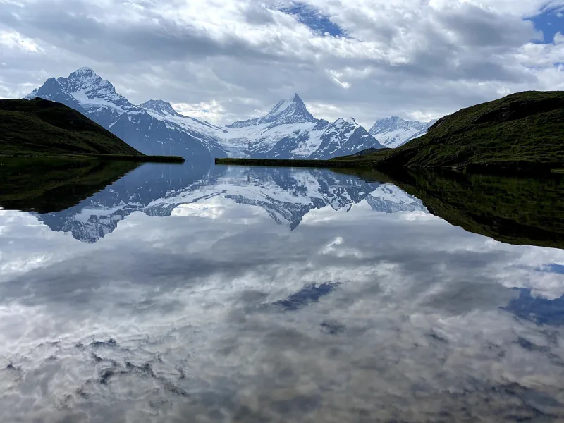
1Bachalpsee
About an hour's walk from First. The Jungfrau Railways call it the "blue jewel" of the Alps.
Getting there on foot
Schynige Platte → Grindelwald, First5 h 45From Schynige Platte to Grindelwald, First
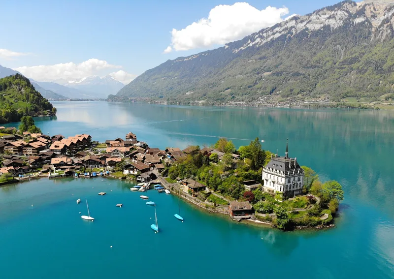

Bivio / Bernese Oberland
What to see, what flowers up high, what to eat, and 11 hikes to get there on foot, from 1 h 55 to 5 h 45 of walking.
The spots not to miss, and the hike that takes you there.
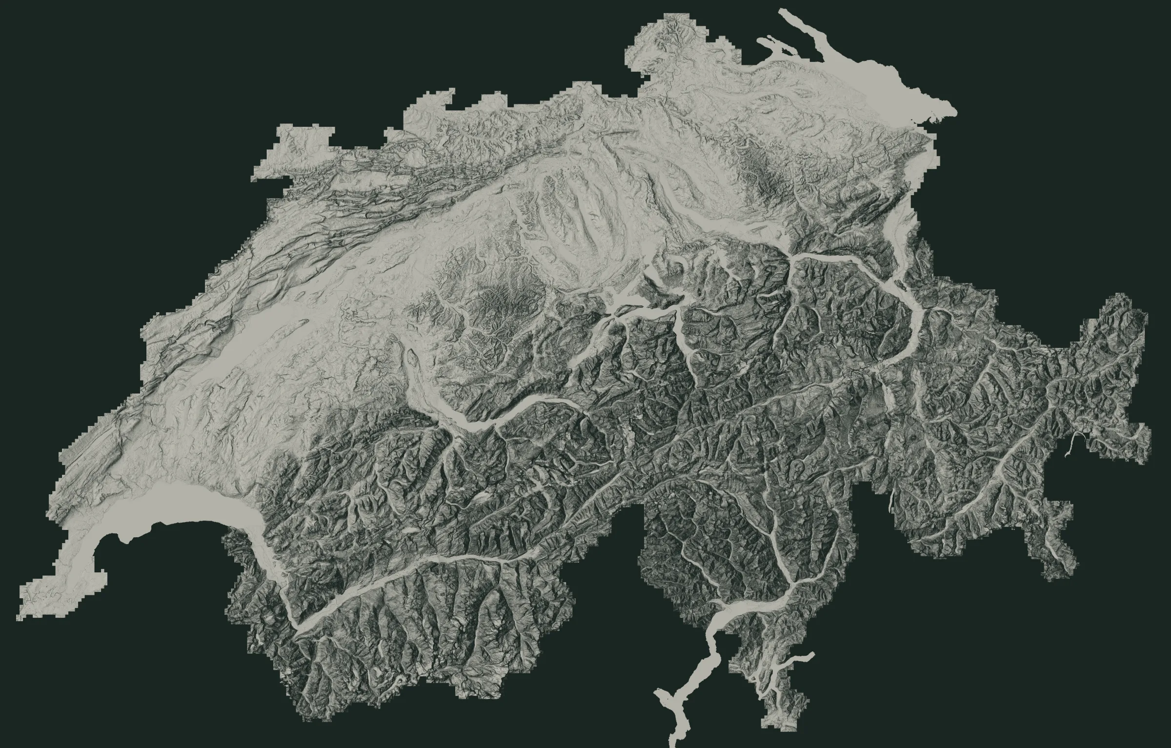 OeschinenseeJungfraujochSt. Beatus Caves1Bachalpsee2Eiger North Face3Kleine Scheidegg4Allmendhubel and its Flower Trail5Lauenensee6Iffigsee7The Gasterntal and the Kander8Gemmenalphorn
The numbers are the places just below. The white dots are where the hikes start.
About an hour's walk from First. The Jungfrau Railways call it the "blue jewel" of the Alps.
Getting there on foot
Schynige Platte → Grindelwald, First5 h 45From Schynige Platte to Grindelwald, First
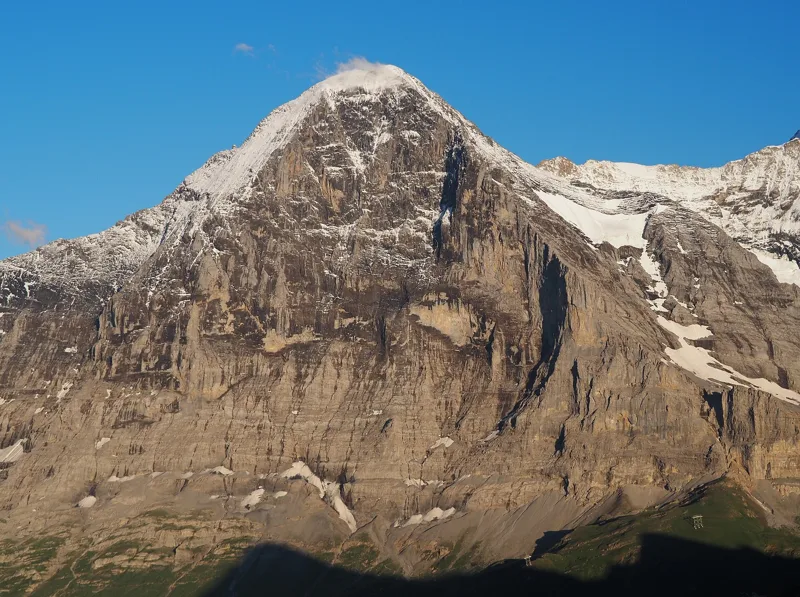
A 1,800 m wall, first climbed in July 1938, over four days. With binoculars, you can sometimes spot a rope team on it.
Getting there on foot
Eiger Trail1 h 55From Grindelwald (Eigergletscher) to Grindelwald (Alpiglen)
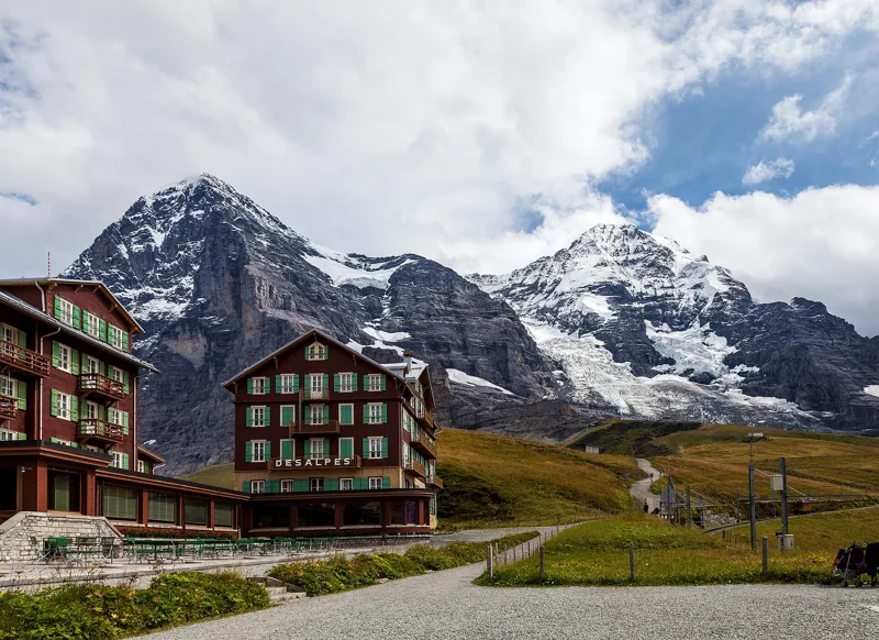
Two cog railways meet here, facing the Eiger North Face. Just above runs the Lauberhorn course, which the Jungfrau Railways call the longest downhill in alpine ski racing.
Getting there on foot
Lauberhorn Trail2 h 50From Wengen (Allmend) to Kleine Scheidegg
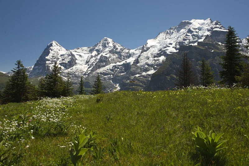
A 20-minute loop around Mürren's little summit, with more than 150 mountain flowers: gentians, alpine roses, edelweiss.
Getting there on foot
Mountain View Trail2 h 00From Lauterbrunnen (Grütschalp) to Mürren (Allmendhubel)
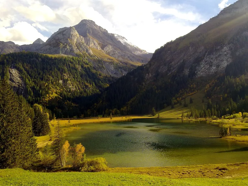
Two lakes on a marshy terrace at 1,380 m, of 9 and 1.5 hectares, with the Tungelschutz waterfall to the south-east. The Federal Inventory of Landscapes counts it among the highest nesting sites in the Alps for a few water birds.
Getting there on foot
Höhi-Wispile-Lauenensee-Weg4 h 00From Station Höhi Wispile to Lauenen
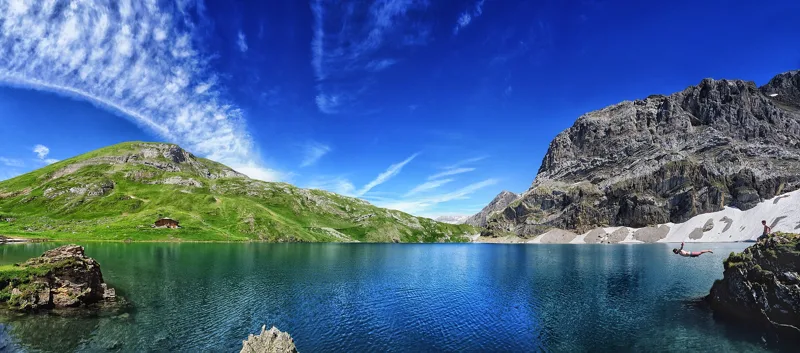
A lake that drains away underground. In the same protected landscape, the Rawil Pass carried trade with Valais until the Lötschberg tunnel, in 1913.
Getting there on foot
Iffigsee-Rundweg4 h 25Loop from Lenk (Iffigenalp)
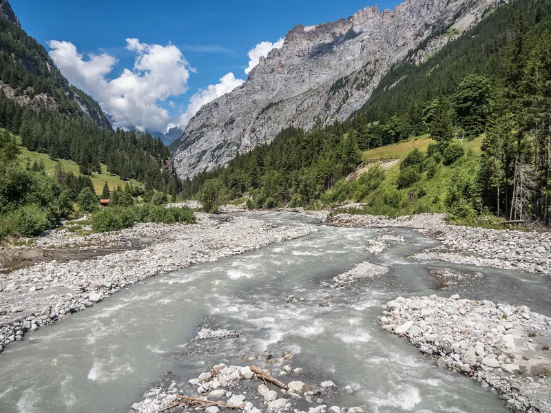
A valley carved by a glacier, where the Kander is still largely natural and keeps reshaping its gravel banks and alder woods. People from Valais settled it in the Middle Ages, coming over the Lötschenpass.
Getting there on foot
Kandersteg → Selden3 h 00From Kandersteg to Selden
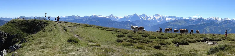
Thunersee Tourismus says the stretch from the Niederhorn to the Gemmenalphorn won a gold medal as the most beautiful hiking trail in Switzerland. From the summit, you look east to the Sieben Hengste and the Hohgant.
Getting there on foot
Niederhorn-Panoramaweg3 h 35From Niederhorn to Waldegg
1.5 km² of water held back by a rockfall from the Doldenhorn, with no stream flowing out. The Federal Inventory of Landscapes counts it among the largest alpine lakes in Switzerland.
Our nearest hike, Kandersteg to Selden, is 4.2 km away.
At 3,454 m, the station the Jungfrau Railways call the highest in Europe. The Jungfrau Railway has run up here since 1912, through the Eiger and the Mönch.
Our nearest hike, the Eiger Trail, is 3.1 km away. It starts at Eigergletscher, on the line that goes up there.
Their website calls them one of the largest stalactite caves in Switzerland. 14 km explored, 1 km open all year round, between 8 and 10 °C.
Our nearest hike, the Niederhorn, is 2.9 km away.
Ranked from the walks told on this site.
Rating = average of the diamonds given by hikers, from 1 to 5. A hike joins the ranking once it has 5 reviews, each checked before it goes online.
When things flower, when the animals show up: the mountains, month by month.
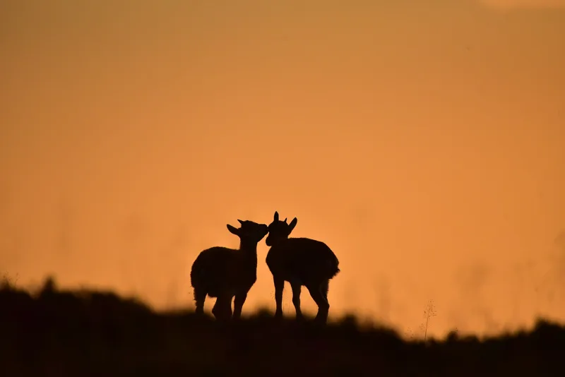
At the Burgfeldstand lives a colony of ibex that has lost all fear of people. In August, the males clash, before the December rut.
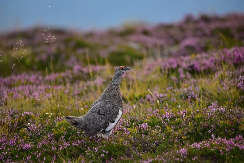
From the Burgfeldstand to the Gemmenalphorn, you're in ibex and ptarmigan country. The ptarmigan changes its plumage with the seasons: pure white in winter.
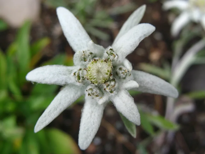
It flowers from July to September on stony limestone grassland. You'll see some on the Allmendhubel Flower Trail. The one in the photo grows on the Schynige Platte.
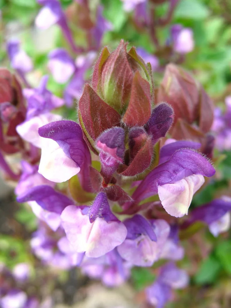
About 800 plant species from the Swiss Alps, at 1,967 m, right next to the station. In the photo, alpine skullcap, which flowers from June to August.
Panoramaweg Schynige Platte1 h 55Schynige Platte → Grindelwald, First5 h 45
Local produce, the ones with an official designation.
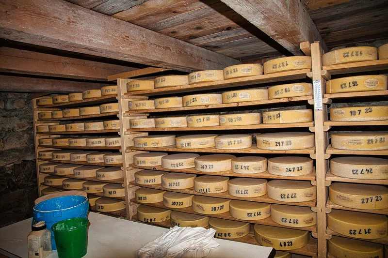
A raw-milk cheese made every day of the summer on the alpine pastures of the Bernese Oberland, sold at no less than 4.5 months. In the Justistal, every September, the farmers share out the cheese from the alp.
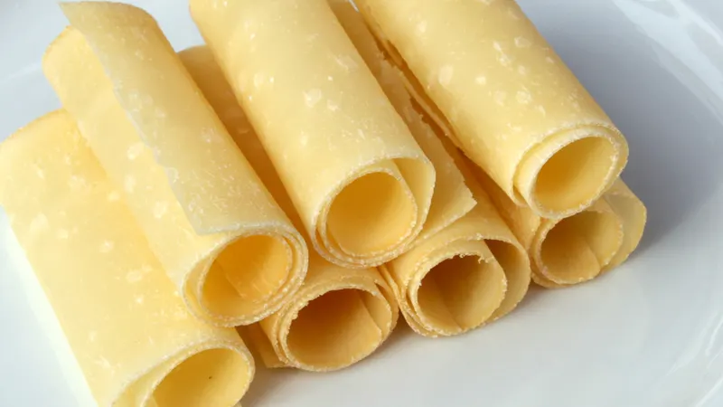
The best wheels of Alpkäse, dried standing up for another twelve months, then shaved into thin curls with a plane.
A spiced scalded sausage of pork, beef and bacon, made in the canton of Bern; despite its name ("tongue sausage"), there's no tongue in it.
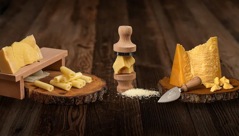
An extra-hard cheese from Central Switzerland. It takes its name from Brienz, where Italians bought it from the 16th century.
Two hikes close together, the train or bus in between, and a good reason to do both.
Train from Kleine Scheidegg to Eigergletscher: 5 min. Check the timetable on the day.
The Lauberhorn Trail ends at Kleine Scheidegg, where the train climbs to Eigergletscher, the start of the Eiger Trail.
Bus from Beatenberg (Waldegg) to Iseltwald, changing at Interlaken West: 45 to 51 min. Check the timetable on the day.
The Güggisgrat towers over Lake Thun; the next day, the path follows the south shore of Lake Brienz and passes the Giessbach Falls.
Bus from Lenk station to the Iffigenalp: 26 min, summer service. Check the timetable on the day.
The hike from Adelboden ends in Lenk; from there, you can go straight on to the Iffigsee loop.
The lifts and summer buses that take you to the start, with their dates.
At altitude there can be snow even in summer, and in late autumn some bridges or safety cables are taken down. Before you set off, ask the mountain railway, the municipality or the tourist office about the state of the trails. Randa council information
What happened where you're about to walk.
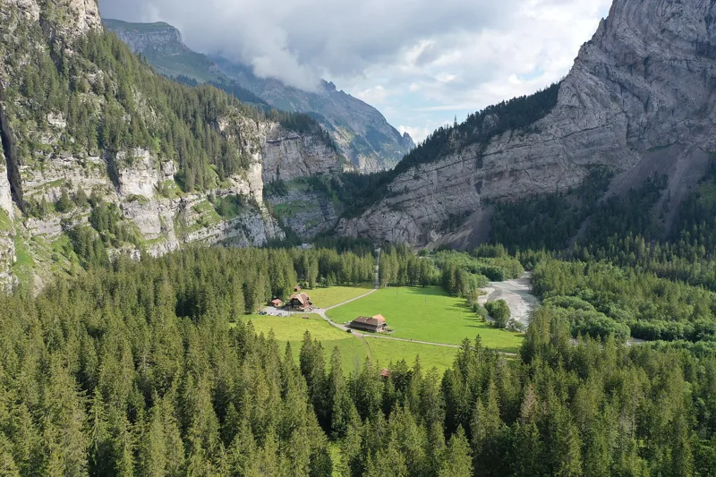
After 1890, Kandersteg's tourism reached up into the Gasterntal, and the hotels still standing today were built. Under your feet runs the Lötschberg tunnel: on 24 July 1908, water and rock burst into the tunnel right below the valley, and 25 Italian miners lost their lives.
Kandersteg → Selden3 h 00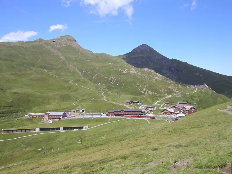
The Lauberhorn races have been held in Wengen since 1930, on a downhill their organisers call the longest in the world. The fastest skiers race down it in about two and a half minutes. In 2026, the start was set on the Hundschopf for the first time, the very spot you cross on foot.
Lauberhorn Trail2 h 50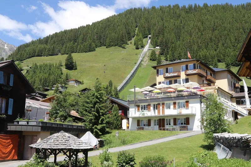
Mürren was probably an alpine pasture until people from the Lötschental arrived, after 1300. Before the railway of 1891, tourists could only come up by mule; yet by around 1888, Mürren and Gimmelwald already had more than half the hotel beds in the municipality. Until the First World War, the British were the largest group of visitors.
Mountain View Trail2 h 00From shortest to longest.
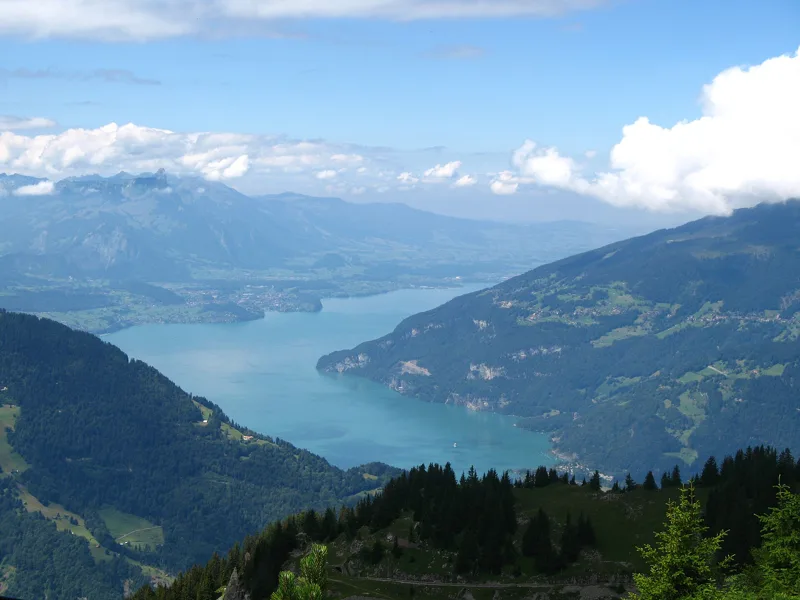
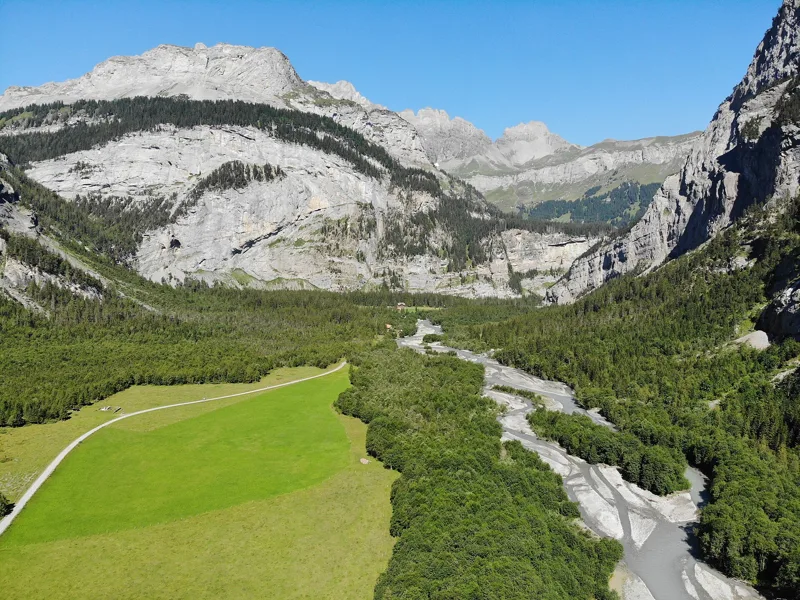
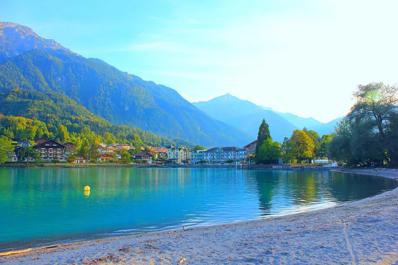
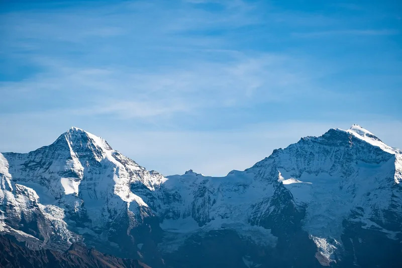
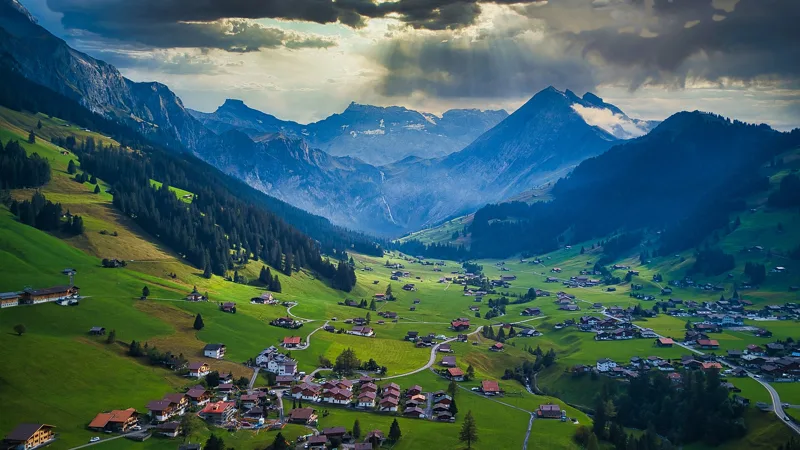
11 hikes, from 1 h 55 to 5 h 45 of walking according to SwitzerlandMobility: Eiger Trail, Panoramaweg Schynige Platte, Mountain View Trail, Lauberhorn Trail, Kandersteg → Selden, Iseltwald → Brienz, Niederhorn-Panoramaweg, Höhi-Wispile-Lauenensee-Weg, Iffigsee-Rundweg, Adelboden → Lenk and Schynige Platte → Grindelwald, First.
Eiger Trail: 1 h 55 of walking according to SwitzerlandMobility, 6.0 km, 100 m of climbing.
Schynige Platte → Grindelwald, First: 5 h 45 of walking according to SwitzerlandMobility, 16.8 km, 1,100 m of climbing.
SwitzerlandMobility rates these stages as technically easy: Adelboden → Lenk and Iseltwald → Brienz.
11 of the 11 hikes end at a public transport stop; each page shows the next departures from the finish.
Bob relies on the site's data (SwitzerlandMobility, MeteoSwiss, official timetable) and can be wrong. On the ground, the signposts come first. Emergency: 1414 (Rega) or 112.