
Following the Grand Bisse d'Ayent
A bisse is an irrigation channel: this one waters the meadows and vineyards of Ayent and Grimisuat. Its founding charter dates from 1448, and here you follow it from the Tseuzier dam to the Étang Long pond at the Mayens d'Arbaz. The path drops quite steeply at first, into the Liène valley, then follows the channel's gentle gradient. SwitzerlandMobility rates it medium for both fitness and technique.
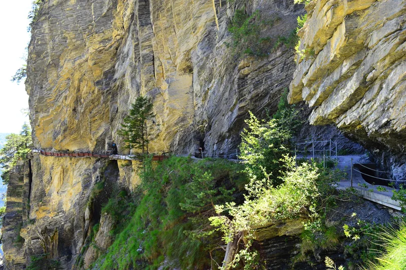
The highlight is Torrent-Croix: the restored gutters fixed to the cliff have appeared on the back of the 100-franc note since 2019. You walk through a lit tunnel, with a platform looking out over the whole structure. The elevation profile shows you where the opening descent is steepest.
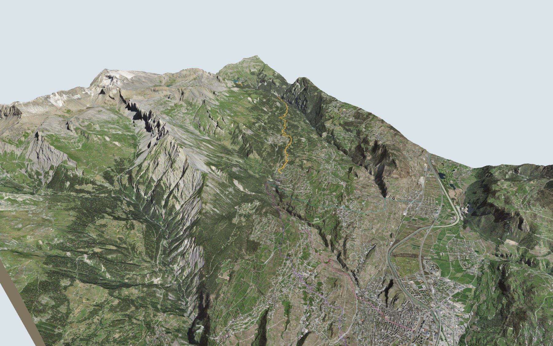
Rather start down in the valley? Paths climb from Sion, Saint-Léonard or Châteauneuf-Conthey straight up to the Mayens d'Arbaz, without going via Tseuzier: each starting point has its own colour in the 3D view and an estimated time under all starting points. Nearby, the Sentier Panorama 4000 starts from Crans-Montana, and the Vercorin → Grimentz hike follows the Chemin des Bisses.
At the finish: the Étang Long, the Restaurant du Lac - Le Pascali's and the bus at the Arbaz, café du Lac stop. Check the next departures and plan your day before you set off. Looking for more in the area? See all hikes in Valais.
The story of the trail
What happened where you are going to walk, chapter by chapter.
From the dam along the bisse
You start at 1,779 m at the Tseuzier dam and finish at 1,318 m at the Étang Long, in the Mayens d'Arbaz. In between: 12.0 km, plus 150 m of climbing and 620 m of descent according to SwitzerlandMobility. It gives 3 h 10 of walking time in this direction and 3 h 40 the other way.
Near the dam restaurant, at the start, the path drops into the Liène valley down to the bisse, then follows it. It passes near Ehéley, where the bisse crosses the Rawyl road, then near Samarin, crosses the Torrent Croix stream, then goes through Anzère and Arbaz; about three quarters of the way along, you pass near the Buvette du Bisse. It is a waymarked mountain path, dizzying in its first part but fitted with a handrail. The Follés passage, where the bisse runs along a rocky ridge, is only for people who don't suffer from vertigo: to avoid this cliff-side stretch, start from the Samarin bus stop. On the way, follow the signposts and check the conditions on the day.
A charter written in 1448
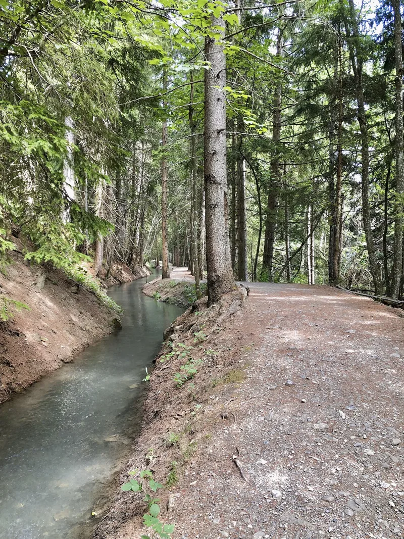
In 1448, twelve men elected by the three thirds of the parish of Ayent (two for Luc-Botyre, one for Arbaz) met in Ayent cemetery, in the presence of a representative of the bishop, and put the founding charter of the consortage on paper. Back then the channel was called the Bisse Neuf. It draws its water from the Liène, a glacier-fed river with a high annual flow. Built before 1448, it is, according to the Valais Bisses Association, one of the largest bisses in Valais, with a flow of 500 litres per second.
Arbaz left the consortage in 1452, in exchange for a sum of money. In 1464, Grimisuat obtained two sevenths of the bisse's water, "from sunset on Saturday evening until sunset on Monday", and in return took charge of maintaining the channel below the water intake. Today the bisse belongs five sevenths to Ayent and two sevenths to Grimisuat. In the early nineteenth century, severe weather destroyed some bisses, and the Grand Bisse even stopped flowing for seven years.
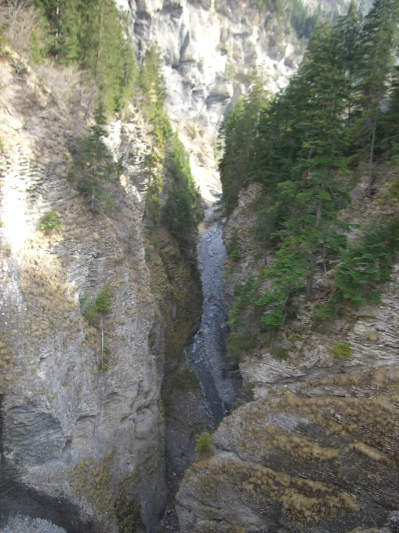
The Liène, the dam and the rock
The Rawil dam, which forms Lake Tseuzier, was built in 1956. Since then, the bisse has taken its water from the pipeline of the Liène power plant, at Samarin: its upper section has therefore been abandoned, but the path still lets you discover traces of it.
Underfoot, there's mostly limestone and marl of the Wildhorn nappe, part of the Helvetic zone, and in places moraine from the retreat that followed the Last Glacial Maximum. In 2023, UNESCO added "traditional irrigation" to the Representative List of the Intangible Cultural Heritage of Humanity: the communities who practise it, such as the consortages, have been contributing to fertile meadows and biodiversity for centuries.
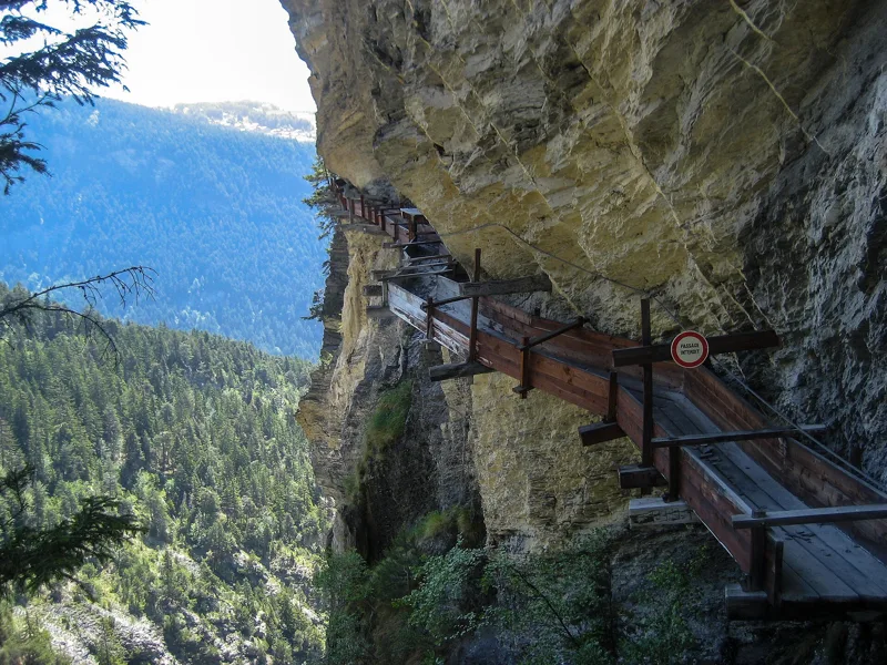
Torrent-Croix, on the 100-franc note
At Torrent-Croix, the bisse was cut into the rock by hand and ran along gutters fixed to the cliff. They have appeared on the back of the 100-franc note since 2019. Between 1991 and 1997, the Grand Bisse d'Ayent consortage funded and carried out the restoration of this passage on boutsets, which was rebuilt. In the Liène valley you'll also see reconstructed corbelled sections.
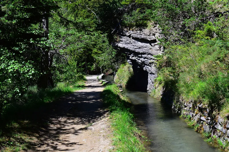
This section with the gutters is no longer in use: the bisse now runs through a lit tunnel, and your path carries on through it too. Mind your head. Halfway along, a platform gives you a view over the whole restored structure. A bisse hammer stands at the tunnel entrance.
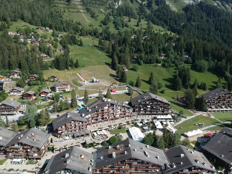
Anzère, Arbaz and the Étang Long
After Torrent-Croix, the path passes through Anzère, a resort that sprang up from 1969 among the pastures. It then reaches Arbaz, a village that belonged to the municipality of Ayent until 1877. Just before the finish, it runs beside the Bisse de Bitailla, which has existed since the thirteenth century and irrigates part of Ayent and Arbaz. The Grand Bisse itself ends its course at the Revouire pond.
The finish is at the Étang Long, in the Mayens d'Arbaz, popular with anglers and equipped with picnic spots and barbecues. The Restaurant du Lac - Le Pascali's is right next to it. The bus leaves from the Arbaz, café du Lac stop: further down this page you'll find the next departures. After the hike, you can also head to Botyre, to the Musée valaisan des Bisses, housed in a seventeenth-century painted house.
Every way to Arbaz, Etang-Long
4 starting points to reach Arbaz, Etang-Long. Pick yours: the 3D view shows it and “My day” recalculates.
Walking times without breaks. “Estimated” times are calculated on the swisstopo profile with a model fitted to the official SwitzerlandMobility stages; the shortest path may differ from the one on the yellow signposts: on the ground, follow the signs. Gradient: the steepest over 200 m of trail. Profiles share the same scale (length and altitude). Stations and car parks within 500 m of the start, according to OpenStreetMap.
In pictures
The Ayent bisse at Torrent-Croix
Lake Tseuzier, Icogne, seen from the top of the Rawyl dam
The Ayent bisse, which waters the meadows and vineyards of Ayent and Grimisuat
The passage on boutsets (wooden brackets) at Torrent-Croix, along the Ayent bisse
The rock face at Torrent-Croix, along the Ayent bisse, Anzère
Entrance to the Torrent-Croix tunnel, along the Ayent bisse
The Lienne
The Ayent bisse, Anzère
Aerial view of Anzère, Valais
Along the Ayent bisse, a little below Anzère
The next few days
MeteoSwiss local forecast, updated every hour
Reading the MeteoSwiss forecast…
My day
Pick your day and start time: everything updates.
- Arrival at Arbaz, Etang-Long
- 11:40 3 h 10 of walking without breaks, starting at 08:30
The trail, kilometre by kilometre
Places are listed under the kilometre where you pass them. Drag along the profile: the marker moves on the 3D view too.
- under 10 %
- 10 to 20 %
- 20 to 30 %
- over 30 %
- fountain or water point
- toilets
Around the trail (250 m, OpenStreetMap, extract of 25/10/2026): 2 restaurants, 0 cafés, 4 fountains and water points, 2 toilets. Estimated time: the official walking time spread by effort (1 km on the flat counts as 100 m of climbing), start time set in “My day”.
Getting there and back
Back by public transport from the Arbaz, café du Lac stop
Next departures from Arbaz, café du LacReading the official timetable…
By car
Careful, this is one way: public transport back arrives in Arbaz, café du Lac, not in Tseuzier, Barrage. Plan to get back to your car by public transport, or park at the finish and take the train to the start.
- Tseuzieropen-air · free110 m from the start
- Car park open-airfree220 m from the start
- Car park, Route du Rawilfree290 m from the start
- Car park open-air, Route de Produssex130 m from the start
Public car parks within 600 m of the start, according to OpenStreetMap: prices and number of spaces may have changed, check the signs on site.
Questions people ask
How long is the hike from Tseuzier, Barrage to the finish (Arbaz, Etang-Long)?
3 h 10 of walking according to SwitzerlandMobility, in this direction, not counting breaks. The other way: 3 h 40.
Is it hard?
SwitzerlandMobility rates this stage: fitness medium, technique medium. It is 620 m of descent over 12.0 km.
Can I get back by public transport?
Yes. The Arbaz, café du Lac stop is at the finish. The next departures show live under “Getting there and back”.
Where can I eat on the way?
2 restaurants, cafés and huts within 250 m of the trail, including Restaurant du barrage de Tseuzier, Restaurant du Lac - Le Pascali's. Where they are and their opening hours: below the profile.
Is there water and are there toilets on the way?
4 fountains and water points and 2 toilets within 250 m of the trail (survey of 25/10/2026).
Can I download the track?
Yes, as a GPX file for your watch or map app: “Download the track” button at the top of the page.
More hikes within 10 km
Official SwitzerlandMobility stages that pass within 10 km of this trail. Each card says whether its page is already up.
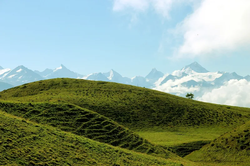 Crans-Montana, Cry-d'Er → Crans-Montana, Aminona4 h 30Sentier Panorama 400014.0kmDistance540mAscent1,300mDescentTechnical mediumFitness difficult. See the hike
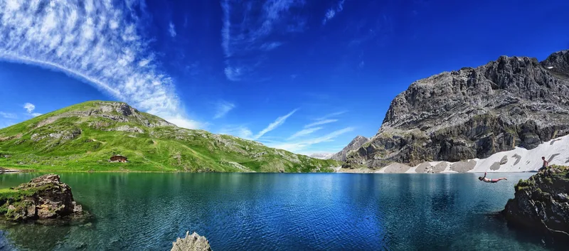 Lenk (Iffigenalp), loop4 h 25Iffigsee-Rundweg11.0kmDistance880mAscent880mDescentTechnical mediumFitness medium. See the hike
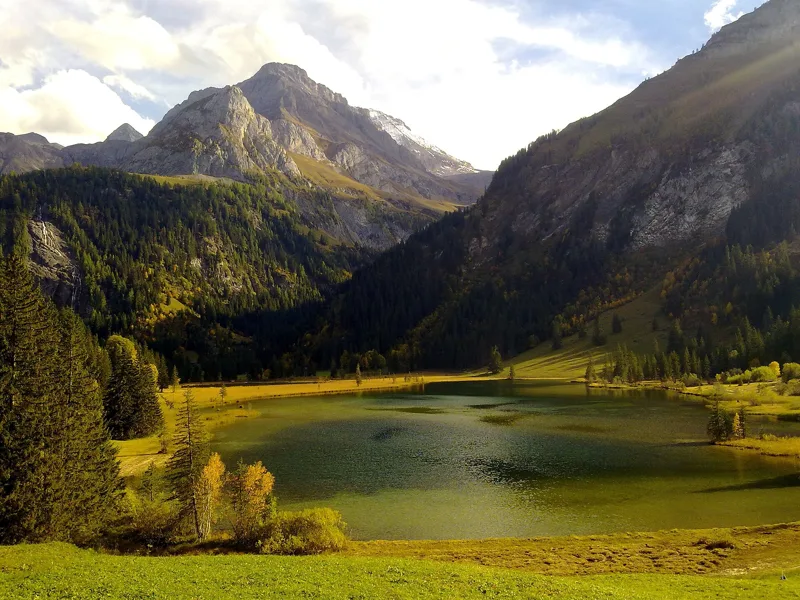 Station Höhi Wispile → Lauenen4 h 00Höhi-Wispile-Lauenensee-Weg14.0kmDistance300mAscent950mDescentTechnical mediumFitness difficult. See the hike
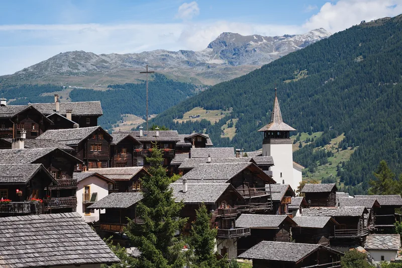 Vercorin → Grimentz5 h 25Chemin des Bisses, stage 717.0kmDistance900mAscent660mDescentTechnical easyFitness difficult. See the hike
- Drône → Pont-de-la-Morge2 h 05Bisses de Lentine et de Mont d’Orge8.0kmDistance50mAscent400mDescentTechnical easyFitness easy. Page coming
- Crans-Montana → Leukerbad7 h 40Walliser Sonnenweg, stage 124.0kmDistance1,150mAscent1,250mDescentTechnical mediumFitness difficult. Page coming