
From Les Diablerets to Villars over the Col de la Croix
A hike from one resort to another: you start in Les Diablerets, in the upper Grande-Eau valley, and finish in Villars-sur-Ollon, on the far side of the Col de la Croix. This is stage 6 of the Tour des Alpes vaudoises. The path climbs for a long time at first, then goes up and down before dropping back down to Villars. SwitzerlandMobility rates it difficult for fitness and medium for technique.
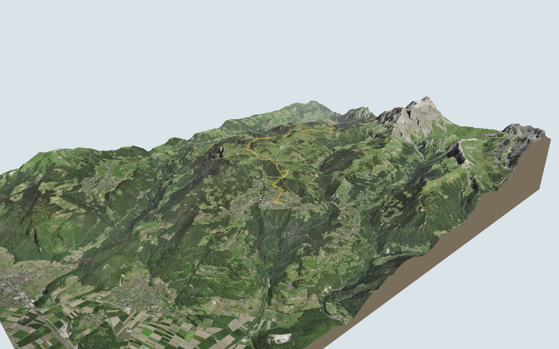
After the valley floor, the climb goes through Les Séleyres and Trechadèze up to the Col de la Croix, right by the gypsum pyramids. The highest point is near L'Encrène; then the path goes past Perche, the Lac des Chavonnes, the Lac Noir and the Lac de Bretaye, and drops down to Villars via the Col de Soud. The elevation profile shows you where it climbs.
Want a shorter version? Other paths climb to Villars from the Gryon-Chalméry, Gare du Puits, Exergillod or Aigle-Château stops: each starting point has its own colour in the 3D view and an estimated time under all starting points. The Chemin des pyramides de gypse, a loop from Bretaye, also crosses this trail.
After you leave Les Diablerets, the next place to eat is at the Lac des Chavonnes, around the 11th kilometre, well past the pass, so bring enough to eat and drink. At the finish: Villars station and the trains of the Bex-Villars-Bretaye line. Check the next departures from Villars and plan your day before you set off. Looking for more in the area? See all hikes in the Vaud Alps.
The story of the trail
What happened where you are going to walk, chapter by chapter.
From the Grande Eau to the Col de la Croix
You start at 1,155 m, a few steps from Les Diablerets station, and finish at 1,253 m in Villars-sur-Ollon. In between: 17.9 km, plus 1,100 m of climbing and 1,000 m of descent according to SwitzerlandMobility, which gives 6 h 10 of walking time in this direction and 6 h 00 the other way. This is stage 6 of the Tour des Alpes vaudoises.
The first two kilometres follow the valley floor, by the Grande Eau river, as far as the Le Jorat neighbourhood. Then the path climbs through Les Séleyres and Trechadèze, crosses the Eau Froide stream and reaches the Col de la Croix, around the 6th kilometre. On the way, follow the signposts and check the conditions on the day.
A resort, a pass and a battle
The resort of Les Diablerets used to be the hamlet of Plan des Isles. The Grand Hôtel des Diablerets was built there in 1856, at the start of the tourist boom, and the railway from Aigle via Le Sépey arrived in 1914. Since the late 19th century the resort has carried the name of the neighbouring massif, a name from the Valais that comes from a tradition saying the mountain was haunted by demons.
The Col de la Croix links the upper Eau-Froide valley, on the Diablerets side, with the upper Gryonne valley, on the Gryon side; it used to be called Croix d'Arpille. On 5 March 1798 it saw a battle between French and Vaud troops and the men of the Ormonts, who stood by Bern. In 1868 the Vaud cantonal parliament decided to build a carriage road over it; the road was built after the First World War and surfaced with concrete in 1971.
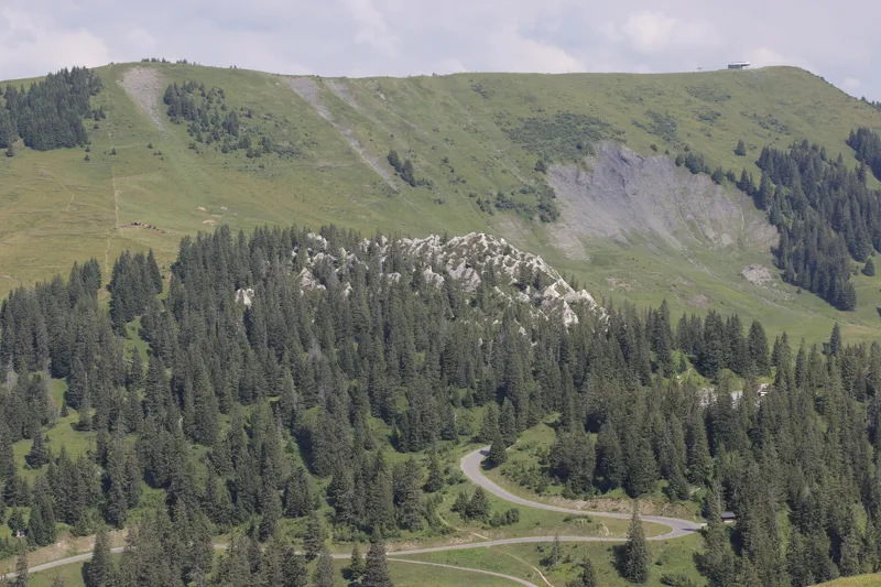
Gypsum, cargneule and sandstone
Just past the pass, the path goes close to the gypsum pyramids. They are a geological curiosity formed by erosion: water and wind have eroded these sedimentary rocks into slender pyramids, of karst origin. Visit them in summer only.
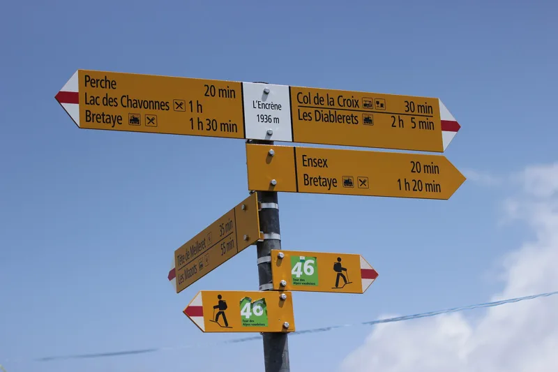
Underfoot, for the last two kilometres before the pass and a little beyond, runs a long band of Triassic cargneule (cornieule). Around the highest point, 1,935 m, near L'Encrène, come Eocene conglomerate, limestone and sandstone. Further on, towards the lakes, the path crosses rocks of the Niesen nappe.
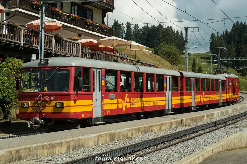
Three lakes and the Bretaye railway
After Perche, the path reaches the Lac des Chavonnes and its restaurant, then passes close to the Lac Noir and the Lac de Bretaye. Between the Lac de Bretaye and the Col de Bretaye, a stone's throw apart, you'll find the Restaurant du Lac de Bretaye and Bretaye 1808, then, a little further on, the Crumbs Café.
At Bretaye you meet the railway again: the line from Bex to Villars, opened in 1901, was extended to Bretaye in 1913. The path then passes close to the Bouquetins stop and the Villars golf course, and heads down to the Col-de-Soud stop. At the Col de Soud there is also the Auberge du Col de Soud.
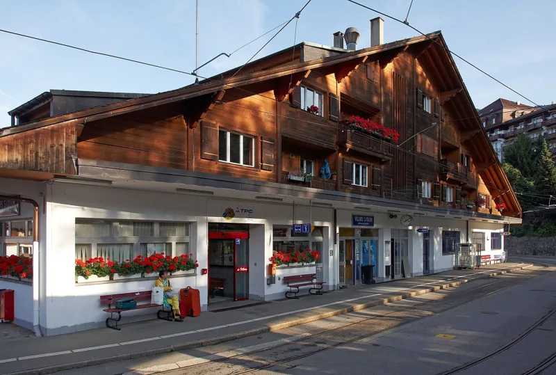
Villars, the railway resort
Villars-sur-Ollon grew out of two hamlets of the municipality of Ollon: Chesières, first recorded in 1290, and Villars, in 1316. A guesthouse opened in Villars in 1837, but the tourist boom began with the road from Ollon to Chesières in 1868, then the railway from Bex in 1901. The Villars-Palace dates from 1913, the Roc d'Orsay gondola from 1959.
The last kilometre crosses Villars and ends near the station, where the trains of the Bex-Villars-Bretaye line stop. Further down this page: the next departures.
Every way to Villars-sur-Ollon
5 starting points to reach Villars-sur-Ollon. Pick yours: the 3D view shows it and “My day” recalculates.
Walking times without breaks. “Estimated” times are calculated on the swisstopo profile with a model fitted to the official SwitzerlandMobility stages; the shortest path may differ from the one on the yellow signposts: on the ground, follow the signs. Gradient: the steepest over 200 m of trail. Profiles share the same scale (length and altitude). Stations and car parks within 500 m of the start, according to OpenStreetMap.
In pictures
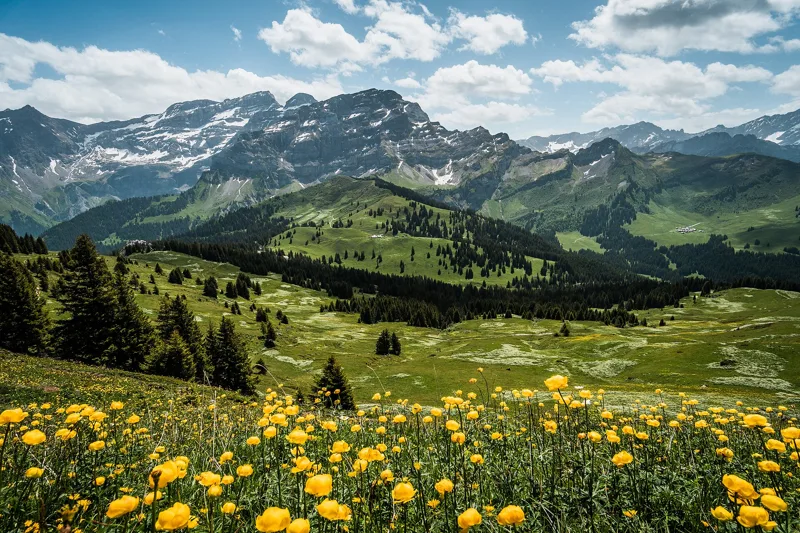
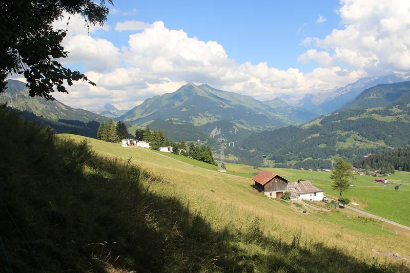
The Les Diablerets massif with yellow flowers in spring, on a sunny day
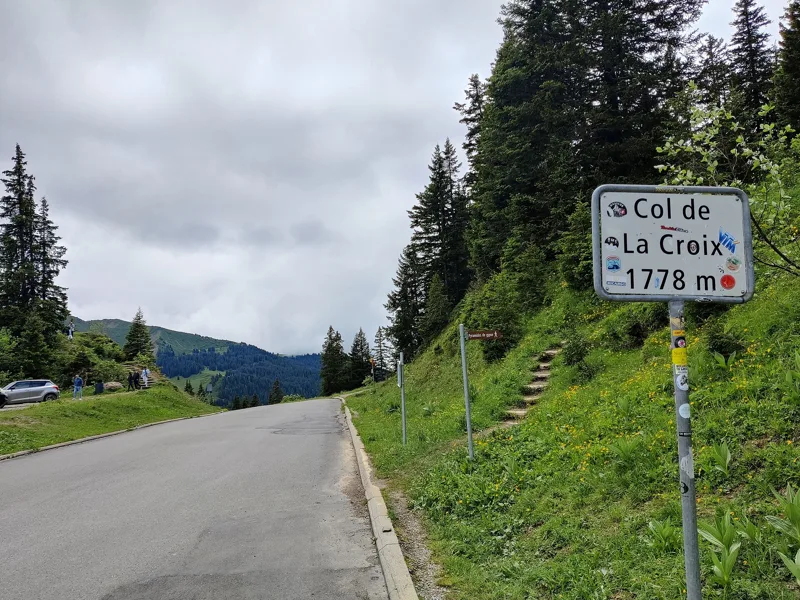
Col de la Croix (Vaud)
Pyramides de Gypse (gypsum pyramids)
Hiking sign at L'Encrène (1934 m)
Common spotted orchid (Dactylorhiza fuchsii) on the path between L'Encrène and the Col de la Croix
Lichen on the edge of the path between L'Encrène and Perche (Ormont-Dessous)
Bearded bellflower (Campanula barbata) near the Lac des Chavonnes, Ormont-Dessous
BVB train (Bt 54, B 51 and HGe 4/4 32) at Col de Soud
Villars-sur-Ollon station
The next few days
MeteoSwiss local forecast, updated every hour
Reading the MeteoSwiss forecast…
My day
Pick your day and start time: everything updates.
- Arrival at Villars-sur-Ollon
- 14:40 6 h 10 of walking without breaks, starting at 08:30
The trail, kilometre by kilometre
Places are listed under the kilometre where you pass them. Drag along the profile: the marker moves on the 3D view too.
- under 10 %
- 10 to 20 %
- 20 to 30 %
- over 30 %
- fountain or water point
- toilets
Around the trail (250 m, OpenStreetMap, extract of 25/10/2026): 22 restaurants, 4 cafés, 14 fountains and water points, 8 toilets. Estimated time: the official walking time spread by effort (1 km on the flat counts as 100 m of climbing), start time set in “My day”.
Getting there and back
Back by public transport from the Villars-sur-Ollon, gare stop
Next departures from Villars-sur-Ollon, gareReading the official timetable…
By car
Careful, this is one way: public transport back arrives in Villars-sur-Ollon, gare, not in Les Diablerets. Plan to get back to your car by public transport, or park at the finish and take the train to the start.
- Les Lilas260 m from the start
- Plan des pistes de ski de fond et itinéraires de raquettes550 m from the start
- Car park open-air, Rue de la Gare110 m from the start
- Car park, Rue de la Gare240 m from the start
Public car parks within 600 m of the start, according to OpenStreetMap: prices and number of spaces may have changed, check the signs on site.
Questions people ask
How long is the hike from Les Diablerets to the finish (Villars-sur-Ollon)?
6 h 10 of walking according to SwitzerlandMobility, in this direction, not counting breaks. The other way: 6 h 00.
Is it hard?
SwitzerlandMobility rates this stage: fitness difficult, technique medium. It is 1,100 m of climbing over 17.9 km.
Can I get back by public transport?
Yes. The Villars-sur-Ollon, gare stop is at the finish. The next departures show live under “Getting there and back”.
Where can I eat on the way?
26 restaurants, cafés and huts within 250 m of the trail, including Chez Lacroix, Le Muget, L'Ormonan. Where they are and their opening hours: below the profile.
Is there water and are there toilets on the way?
14 fountains and water points and 8 toilets within 250 m of the trail (survey of 25/10/2026).
Can I download the track?
Yes, as a GPX file for your watch or map app: “Download the track” button at the top of the page.
More hikes within 10 km
Official SwitzerlandMobility stages that pass within 10 km of this trail. Each card says whether its page is already up.
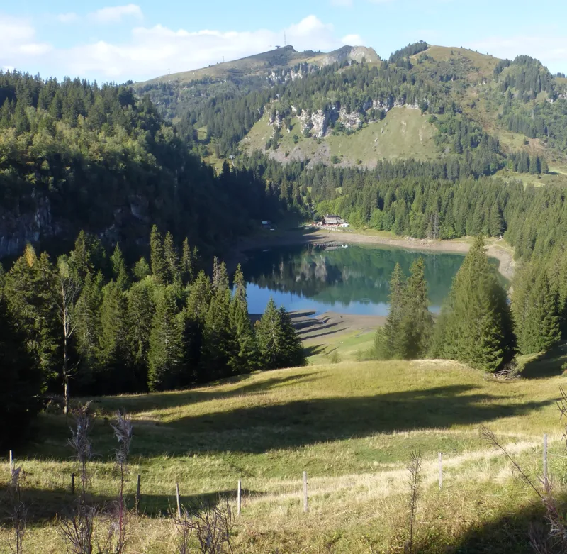 Bretaye, loop3 h 35Chemin des pyramides de Gypse12.0kmDistance540mAscent540mDescentTechnical mediumFitness medium. See the hike
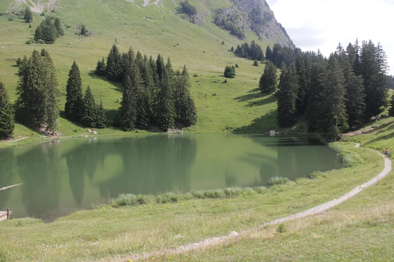 Col du Pillon, loop3 h 10Tour de La Palette9.0kmDistance560mAscent560mDescentTechnical mediumFitness medium. See the hike
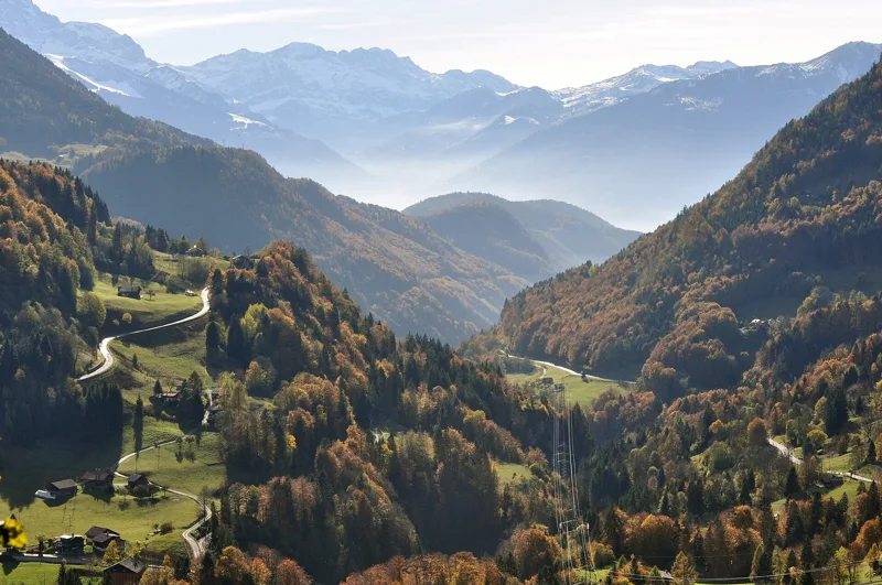 Le Sépey, loop2 h 20Sentier des ponts historiques du Sépey7.0kmDistance400mAscent400mDescentTechnical easyFitness medium. See the hike
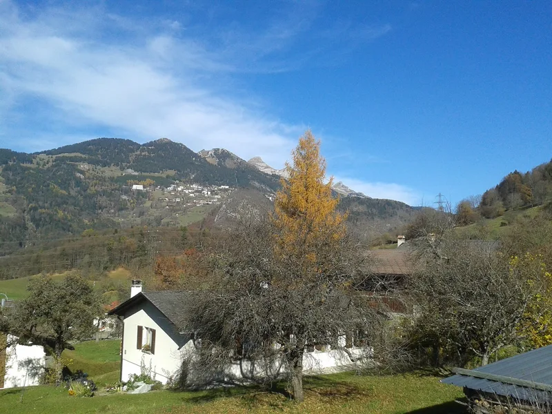 Plambuit → Bex3 h 35Sentier du Sel13.0kmDistance360mAscent680mDescentTechnical easyFitness medium. See the hike
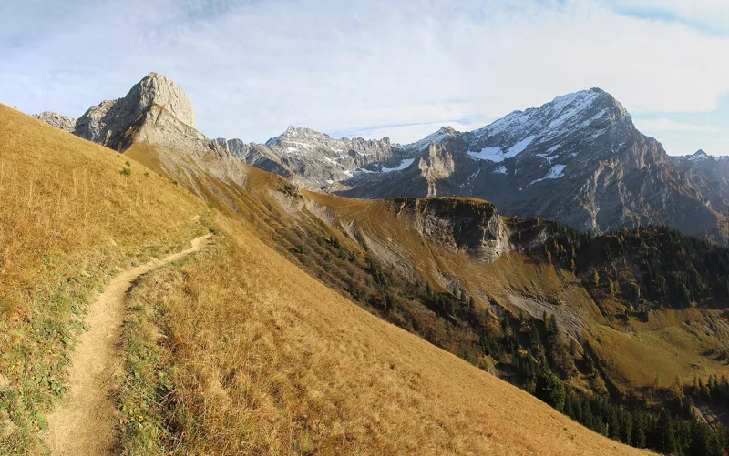 Solalex, loop5 h 15Tour de L’Argentine13.0kmDistance1,050mAscent1,050mDescentTechnical mediumFitness difficult. See the hike
 Aigle → Leysin3 h 10Tour des Alpes Vaudoises, stage 17.0kmDistance1,000mAscent10mDescentTechnical mediumFitness difficult. See the hike