
Hiking up from Aigle to Leysin
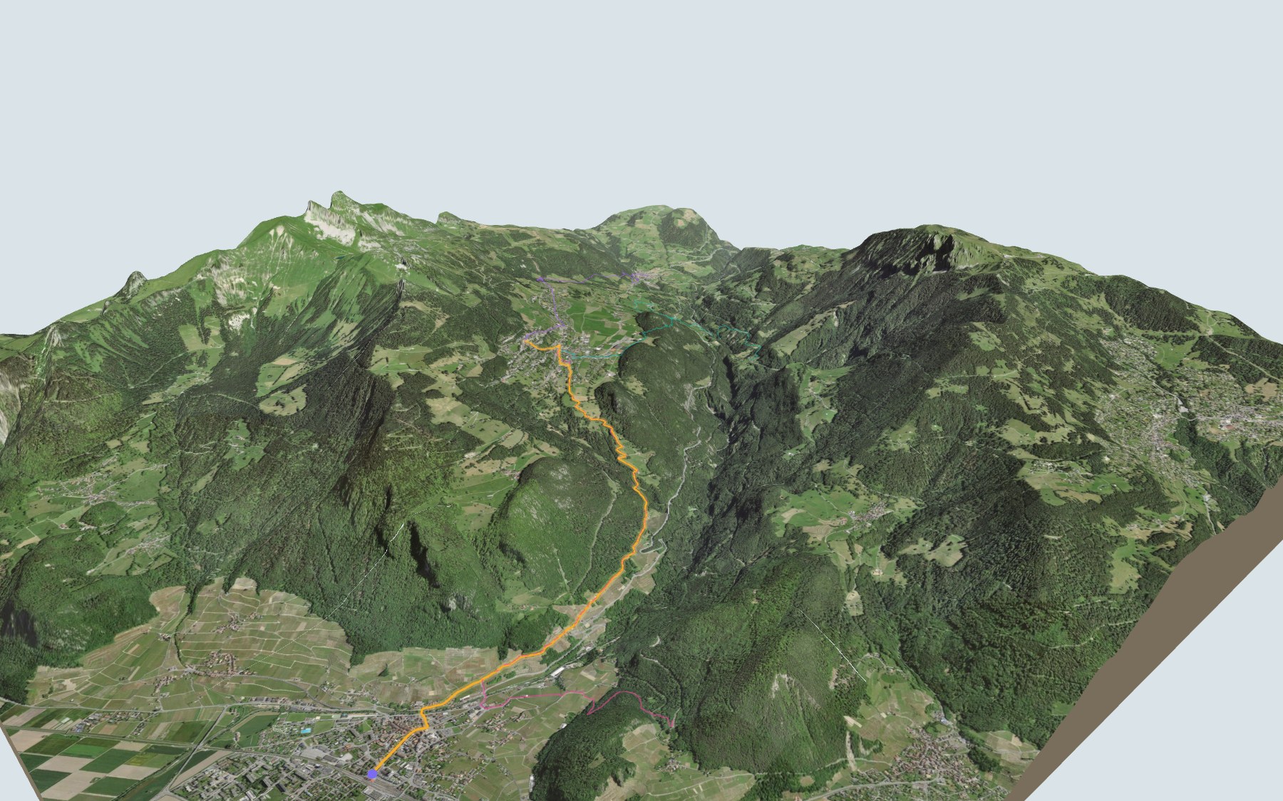
This is the first stage of the Tour des Alpes vaudoises, and it starts with a bang: you leave Aigle station, down in the Rhône plain, and climb all the way up to Leysin in one go. Almost all the height is gained in the same direction. SwitzerlandMobility rates it difficult for fitness and medium for technique.
You leave Aigle near the Grande Eau river, pass through Fontanney, then cross the Larrevoin and Ponty streams. Above them the slope gets steeper up to the first houses of Leysin, and the path then crosses the resort to Feydey. The elevation profile shows you where it's toughest.
Fancy starting somewhere else? Set off from Exergillod, Verschiez or Le Sépey: each starting point, close to a train stop, has its own colour in the 3D view and an estimated time under all starting points. Nearby, the Sentier des ponts historiques du Sépey and the Sentier des trois tours de Leysin have their own pages too.
At the top: Leysin, where Dr Auguste Rollier developed his "sun cure", and the Aigle-Leysin rack railway, opened in 1900, to take you back down. Check the next departures from Leysin-Feydey and plan your day before you set off. Looking for more in the area? See all hikes in the Vaud Alps.
The story of the trail
What happened where you are going to walk, chapter by chapter.
A thousand metres in one go
You start at 404 m at Aigle station and finish at 1,391 m in Leysin. In between: 7.0 km, plus 1,000 m of climbing and 10 m of descent according to SwitzerlandMobility. It gives 3 h 10 of walking time in this direction, and 2 h 05 the other way, downhill.
Around the station at the start there are several cafés and restaurants, including the Buffet de la Gare. Further up, the Café de la Poste, right next to the path, is the last place to eat before Leysin, so bring something to drink. On the way, follow the signposts and check the conditions on the day.
Aigle, between the Grande Eau and the vines
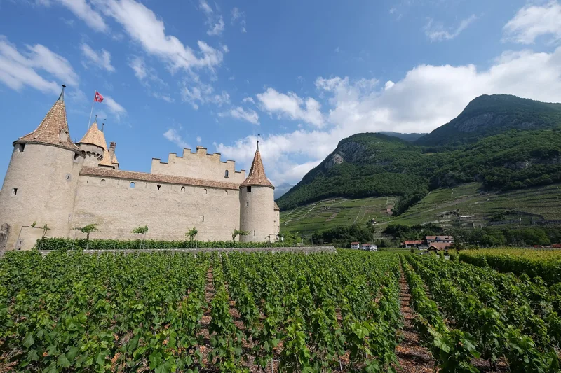
Aigle sits where the Grande Eau valley opens onto the Rhône plain. In 1231, Count Thomas I of Savoy granted town status to the quarter around the church of Saint-Jacques. The castle, built after 1231 and burned in 1475, was rebuilt from 1489 by Bern and became the residence of the Bernese governors.
Since 1976 it has housed the Museum of Vines and Wine, surrounded by a region with a long wine-growing tradition. The trail leaves town through Fontanney, one of the hamlets of Aigle, and climbs towards Leysin, which formed a single "great parish" with Aigle until 1702.
Underfoot: the Rhône glacier and the Prealps
The ground under your feet tells the story of the climb. You start on the torrent deposits of an alluvial fan, then walk on moraine left by the Rhône glacier and on more local glacial sediments.
Higher up, between Fontanney and the Larrevoin and Ponty streams, you walk on limestone, mostly from the Jurassic, belonging to the Préalpes médianes nappe. In Leysin you find moraine again, sandstone and limestone of the Biot Formation from the Late Cretaceous, and the Couches-Rouges, a marly limestone.
Leysin, the sunshine resort
Leysin spreads across a plateau at the foot of the Tours d'Aï and Mayen. As early as 1764, people noticed how long its inhabitants lived, a fact Thomas Robert Malthus highlighted in 1798. The Grand Hôtel opened in 1892, and the first clinic for bone tuberculosis in 1903.
That same year, Dr Auguste Rollier settled in Leysin and opened Le Chalet, a clinic for children. Here he developed his "sun cure"; by 1940 he was in charge of eighteen clinics. In 1946 the resort had an average of 3,500 patients, and up to eighty sanatoriums were counted there. From 1947, numbers fell with the new antibiotic treatments; the clinics closed around 1955-1962 and Leysin successfully switched to summer and winter tourism.
The train back down
The last part of the climb crosses Leysin to Feydey, one of the village's hamlets, where you'll find the station at the finish.
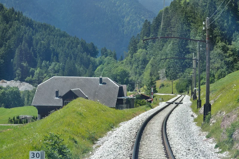
The road from Le Sépey to Leysin opened in 1875, and the Aigle-Leysin rack railway in 1900; it was extended to the Grand Hôtel in 1915. That's the train that takes you back to Aigle. The rest of the page shows the next departures.
Every way up to the top
4 starting points to reach Leysin. Pick yours: the 3D view shows it and “My day” recalculates.
Walking times without breaks. “Estimated” times are calculated on the swisstopo profile with a model fitted to the official SwitzerlandMobility stages; the shortest path may differ from the one on the yellow signposts: on the ground, follow the signs. Gradient: the steepest over 200 m of trail. Profiles share the same scale (length and altitude). Stations and car parks within 500 m of the start, according to OpenStreetMap.
In pictures
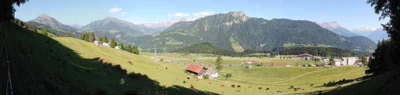
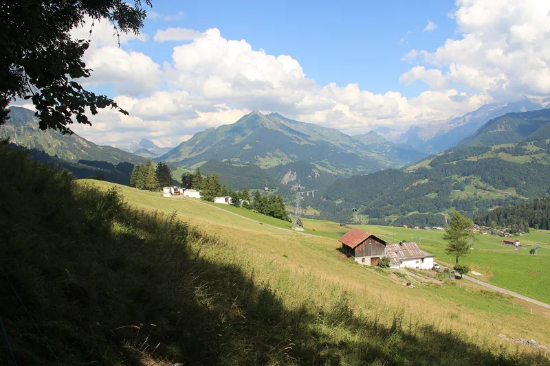
Panoramic view near Leysin
The Dents du Midi from Aigle
Aigle, Switzerland
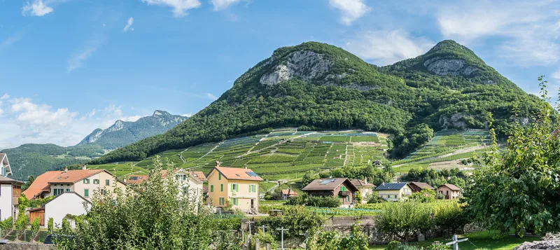
Landscape in the municipality of Aigle, canton of Vaud
Fountain on Rue Farel in Aigle
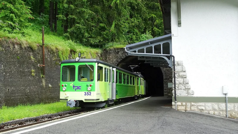
BDeh 4/4 301 of the Aigle-Leysin line (Transports Publics du Chablais) in Aigle, 16 July 2021
View of the Pic de Chaussy
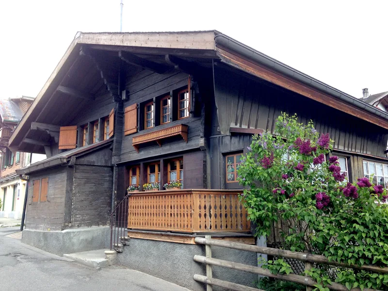
Swiss chalet from the year 1600 in Leysin
Leysin-Village station, canton of Vaud
BDeh 4/4 301 of the Aigle-Leysin line (Transports Publics du Chablais) in Leysin, 16 July 2021
The next few days
MeteoSwiss local forecast, updated every hour
Reading the MeteoSwiss forecast…
My day
Pick your day and start time: everything updates.
- Arrival at Leysin
- 11:40 3 h 10 of walking without breaks, starting at 08:30
The trail, kilometre by kilometre
Places are listed under the kilometre where you pass them. Drag along the profile: the marker moves on the 3D view too.
- under 10 %
- 10 to 20 %
- 20 to 30 %
- over 30 %
- fountain or water point
- toilets
Around the trail (250 m, OpenStreetMap, extract of 25/10/2026): 24 restaurants, 6 cafés, 31 fountains and water points, 10 toilets. Estimated time: the official walking time spread by effort (1 km on the flat counts as 100 m of climbing), start time set in “My day”.
Getting there and back
Back by public transport from the Leysin-Feydey stop
Next departures from Leysin-FeydeyReading the official timetable…
By car
Careful, this is one way: public transport back arrives in Leysin-Feydey, not in Aigle. Plan to get back to your car by public transport, or park at the finish and take the train to the start.
- P+R Gare d'Aigleopen-air · paid140 m from the start
- Margencelunderground car park · 146 spaces180 m from the start
Public car parks within 600 m of the start, according to OpenStreetMap: prices and number of spaces may have changed, check the signs on site.
Questions people ask
How long is the hike from Aigle to the finish (Leysin)?
3 h 10 of walking according to SwitzerlandMobility, in this direction, not counting breaks. The other way: 2 h 05.
Is it hard?
SwitzerlandMobility rates this stage: fitness difficult, technique medium. It is 1,000 m of climbing over 7.0 km.
Can I get back by public transport?
Yes. The Leysin-Feydey stop is at the finish. The next departures show live under “Getting there and back”.
Where can I eat on the way?
30 restaurants, cafés and huts within 250 m of the trail, including Buffet de la Gare, Café des petits trains, Kirin Sushi. Where they are and their opening hours: below the profile.
Is there water and are there toilets on the way?
31 fountains and water points and 10 toilets within 250 m of the trail (survey of 25/10/2026).
Can I download the track?
Yes, as a GPX file for your watch or map app: “Download the track” button at the top of the page.
More hikes within 10 km
Official SwitzerlandMobility stages that pass within 10 km of this trail. Each card says whether its page is already up.
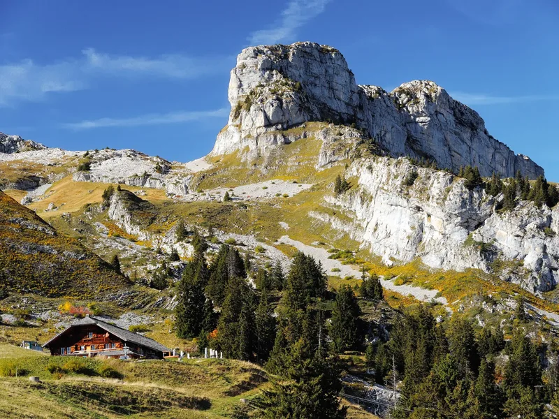 Leysin, Berneuse → Leysin2 h 45Sentier des trois tours de Leysin9.0kmDistance220mAscent880mDescentTechnical mediumFitness medium. See the hike
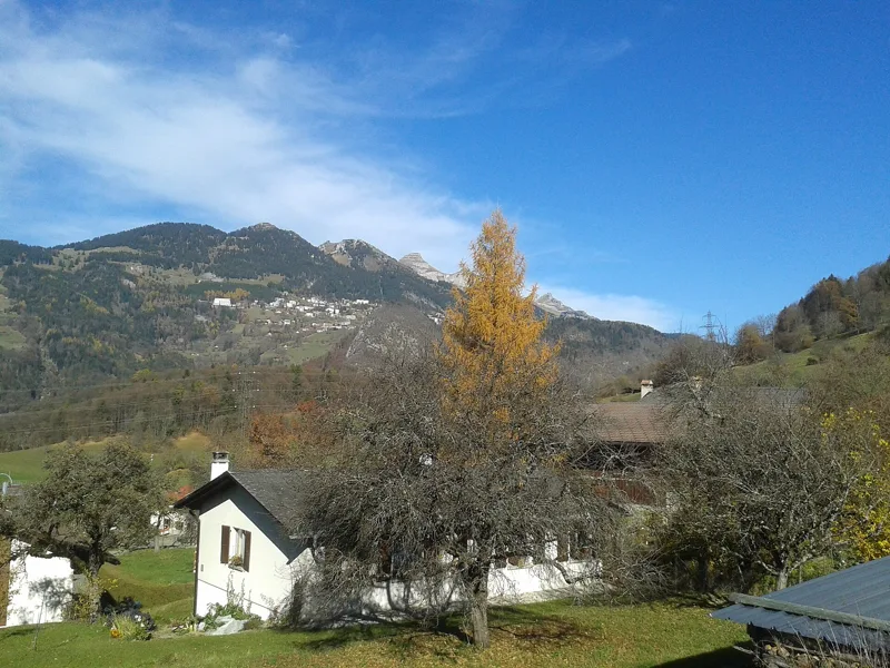 Plambuit → Bex3 h 35Sentier du Sel13.0kmDistance360mAscent680mDescentTechnical easyFitness medium. See the hike
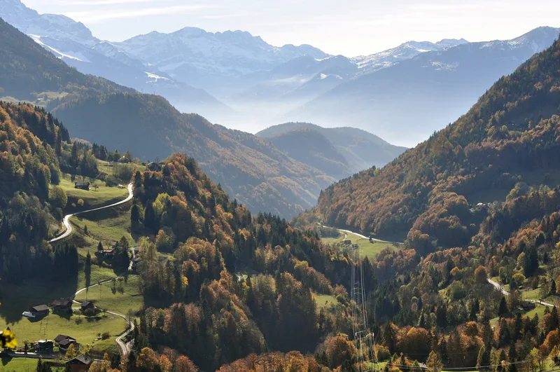 Le Sépey, loop2 h 20Sentier des ponts historiques du Sépey7.0kmDistance400mAscent400mDescentTechnical easyFitness medium. See the hike
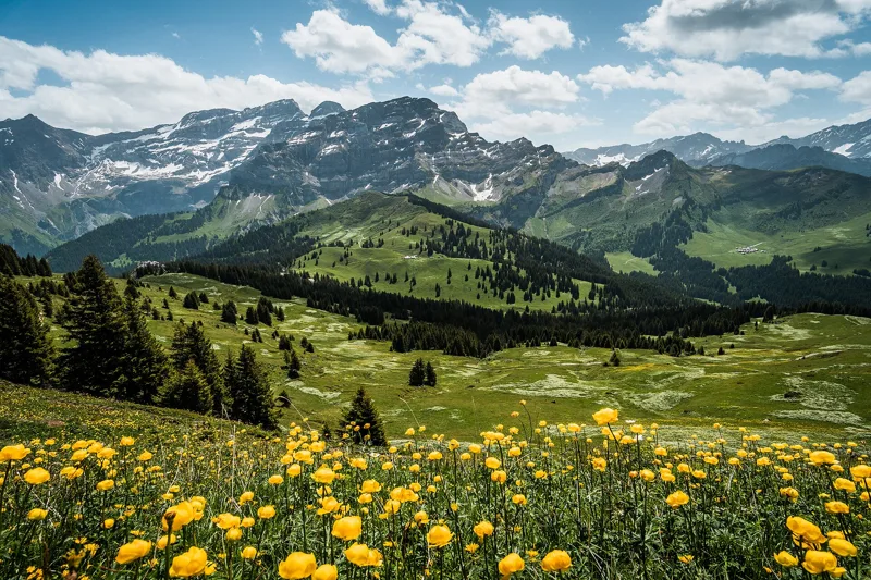 Les Diablerets → Villars-sur-Ollon6 h 10Tour des Alpes Vaudoises, stage 618.0kmDistance1,100mAscent1,000mDescentTechnical mediumFitness difficult. See the hike
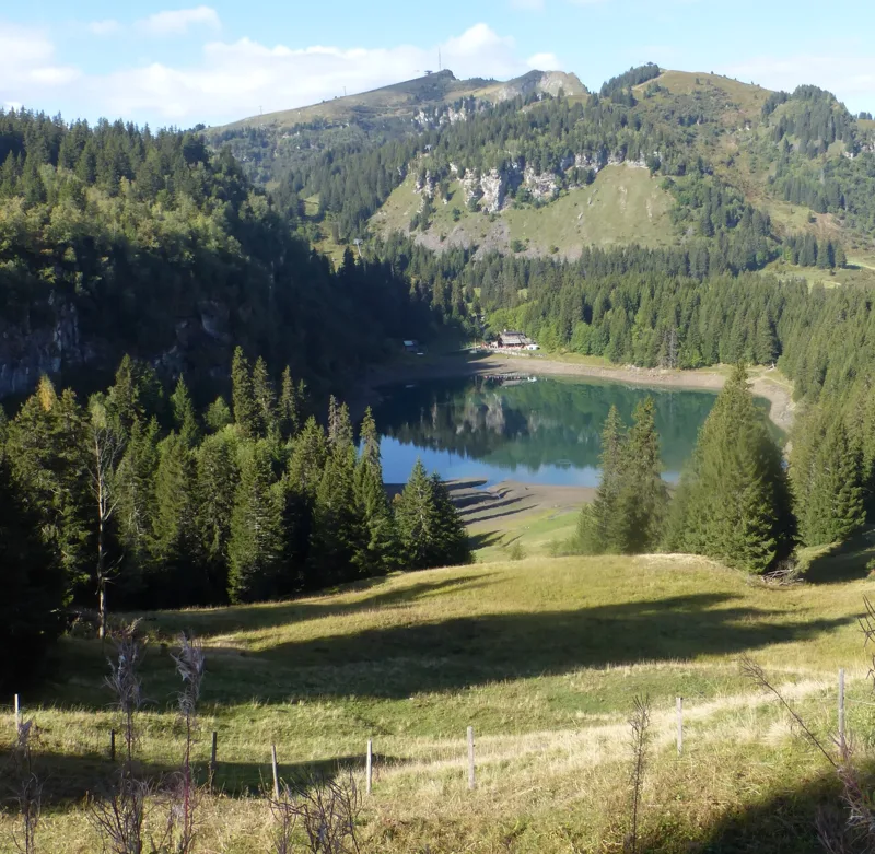 Bretaye, loop3 h 35Chemin des pyramides de Gypse12.0kmDistance540mAscent540mDescentTechnical mediumFitness medium. See the hike
 Les Mosses → Château-d’Oex4 h 15Tour des Alpes Vaudoises, stage 315.0kmDistance400mAscent880mDescentTechnical mediumFitness medium. See the hike