
This weekend
Ideas for your next day out
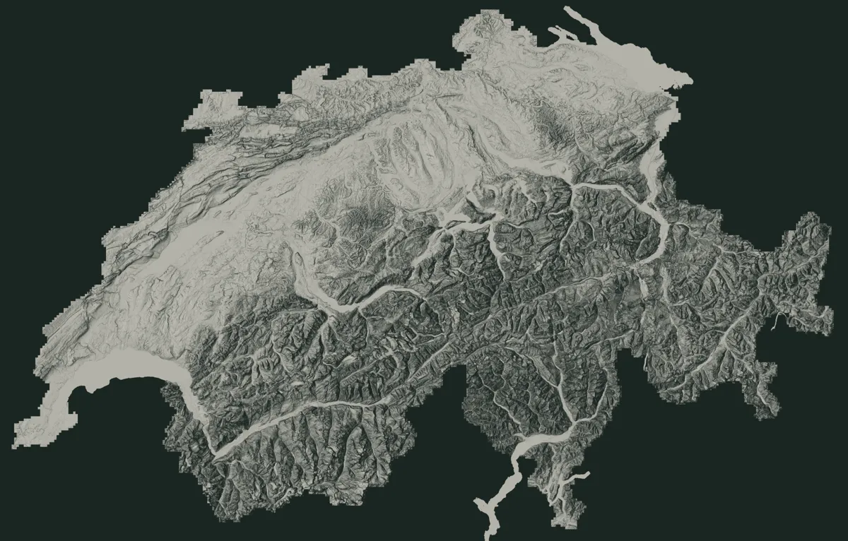
Pick what you feel like: the hikes that match, flown over in 3D before you go.
Guides and categories
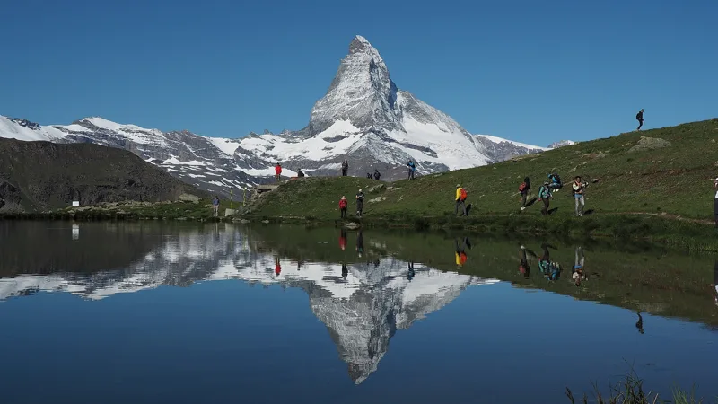
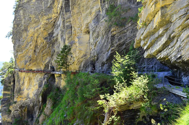
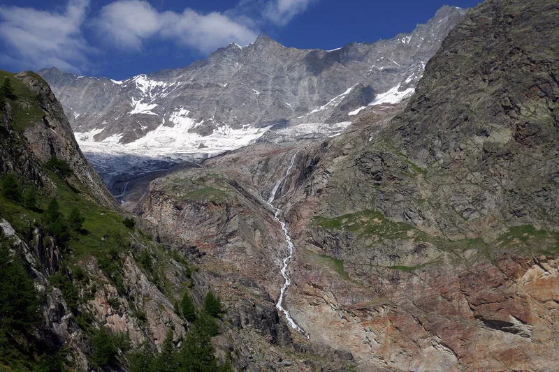
To choose, prepare and go: practical guides, and hikes by category.
Stories along the trail
What happened where you're about to walk.
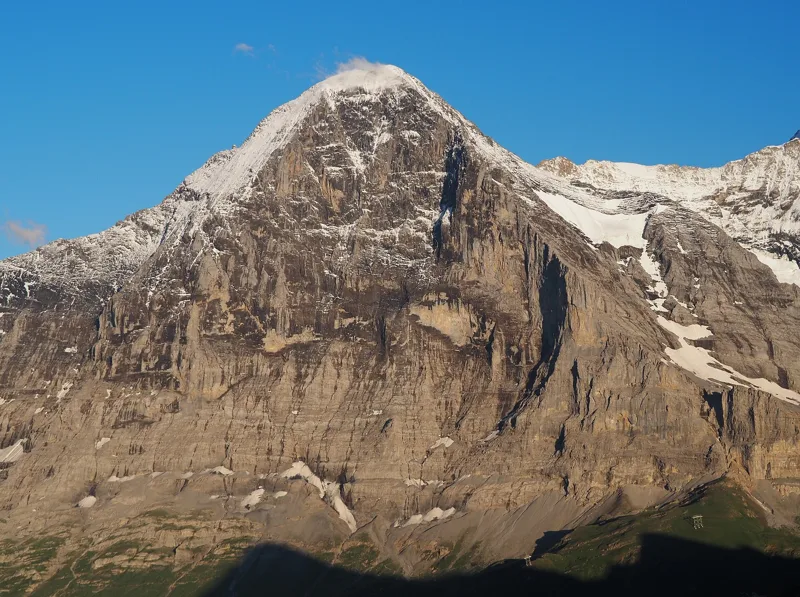
The North Face, 1858 to 1938
The Eiger was first climbed on 11 August 1858, by the west flank, by the Irishman Charles Barrington with the guides Christian Almer and Peter Bohren.
Eiger Trail1 h 55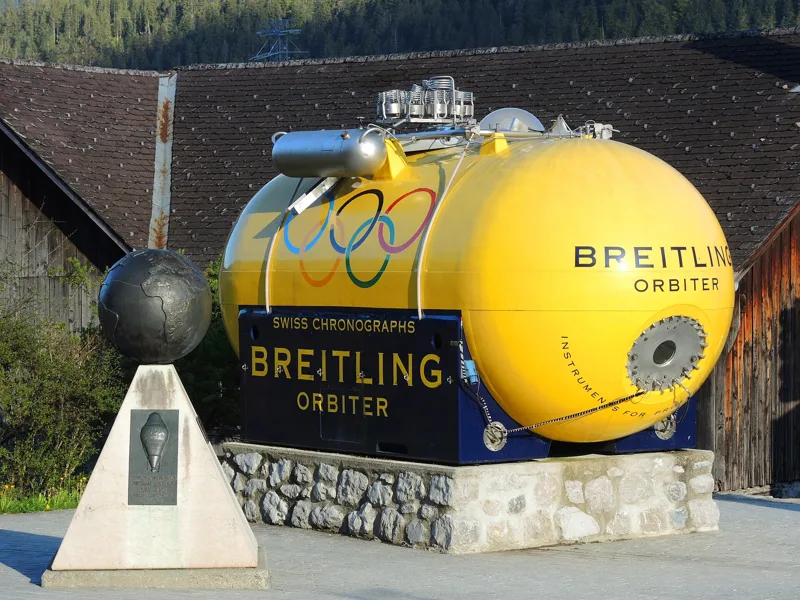
The village where the balloon set off around the world
In 1800, a great fire destroyed the wooden houses built on the central hill of Château-d'Oex. The dean Philippe-Sirice Bridel organised collections to rebuild the village in stone.
Château-d'Oex → L'Etivaz5 h 30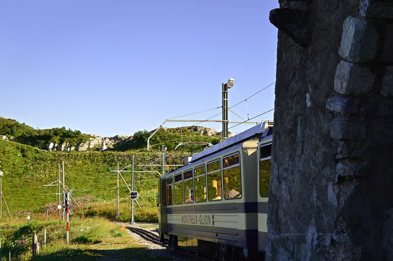
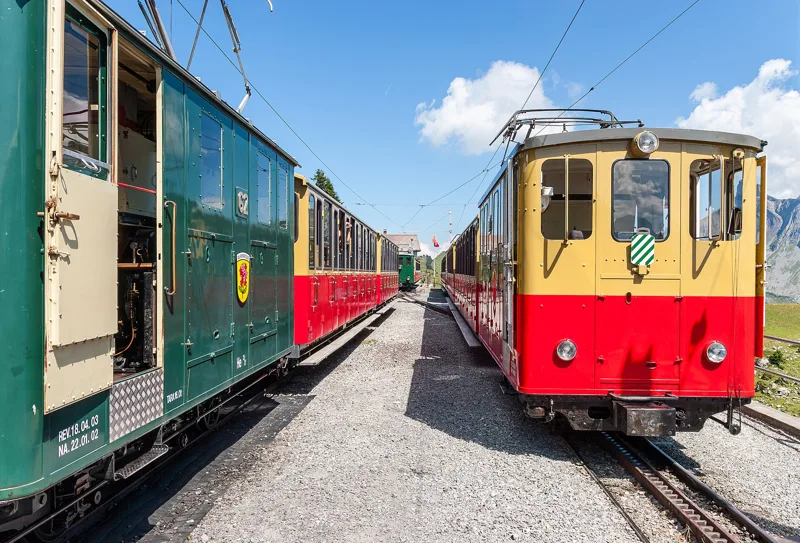
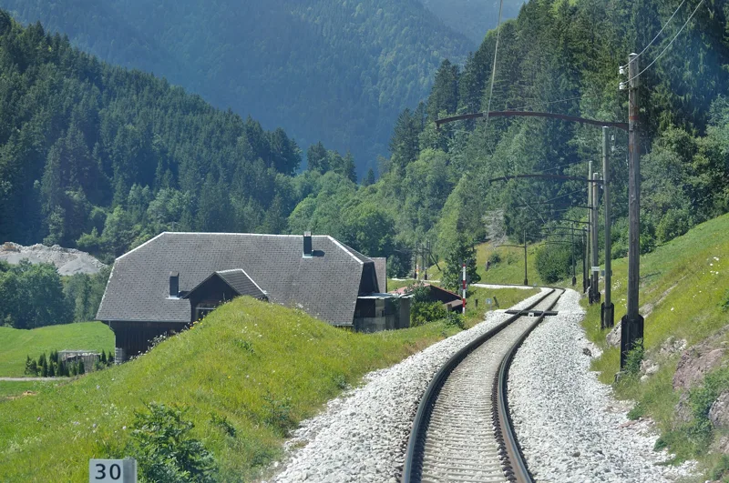
A railway built with mules
Work began on 10 March 1891. Engineer Adolphe Jaques ran the site, and building materials went up on mules. The rack railway opened on 27 July 1892, after less than two years of work.
Rochers-de-Naye5 h 35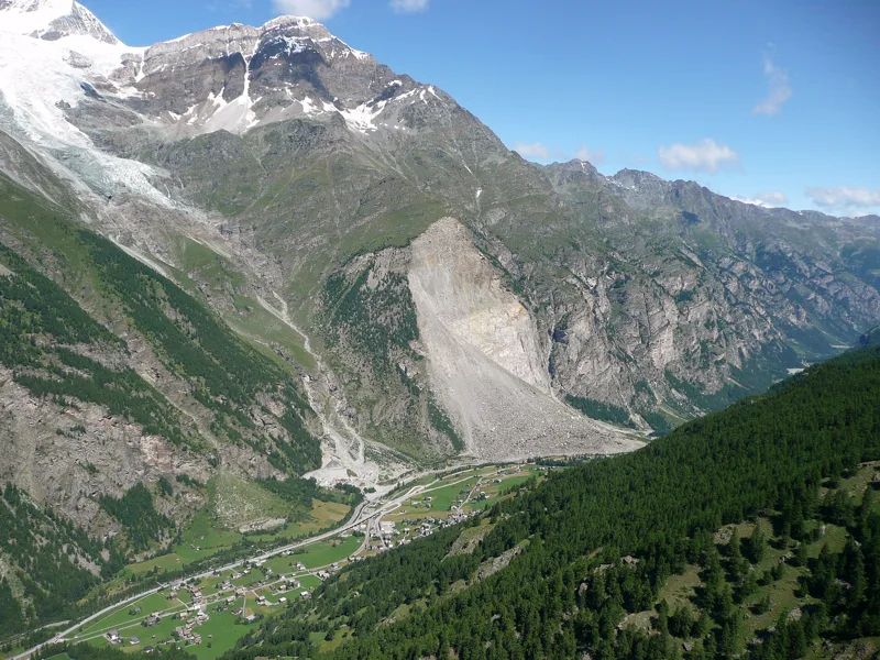
When the mountain came down
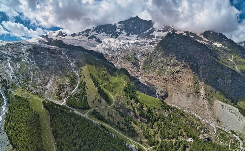
In 1991, three rockslides broke away from the Längenfluhberg: about 15 million m³ of rock on 18 April, 100,000 m³ on 21 April and 33 million m³ on 9 May.
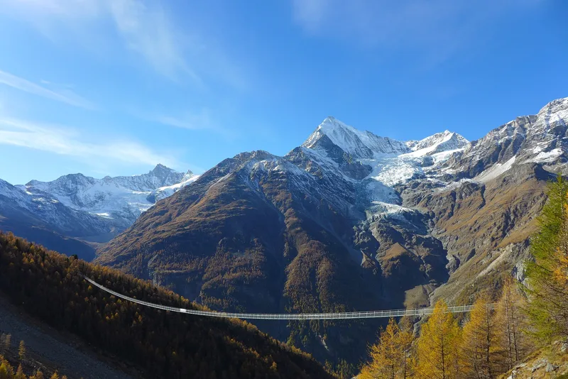
Randa Hängebrückenweg3 h 10
Three regions, 34 hikes
Every region with all its hikes. Swipe to browse them.
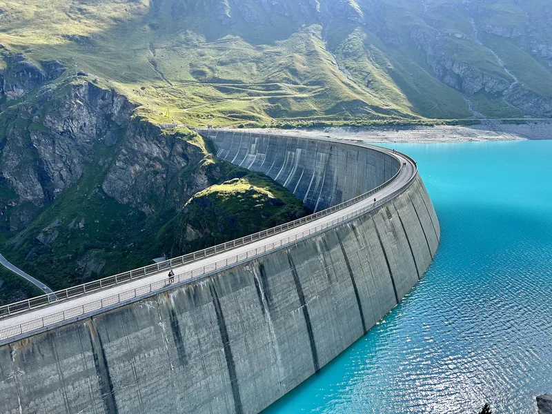
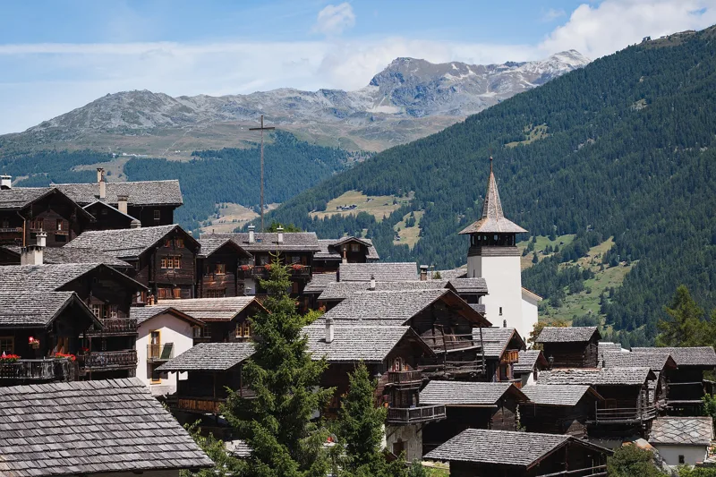
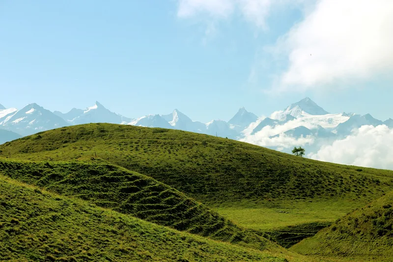
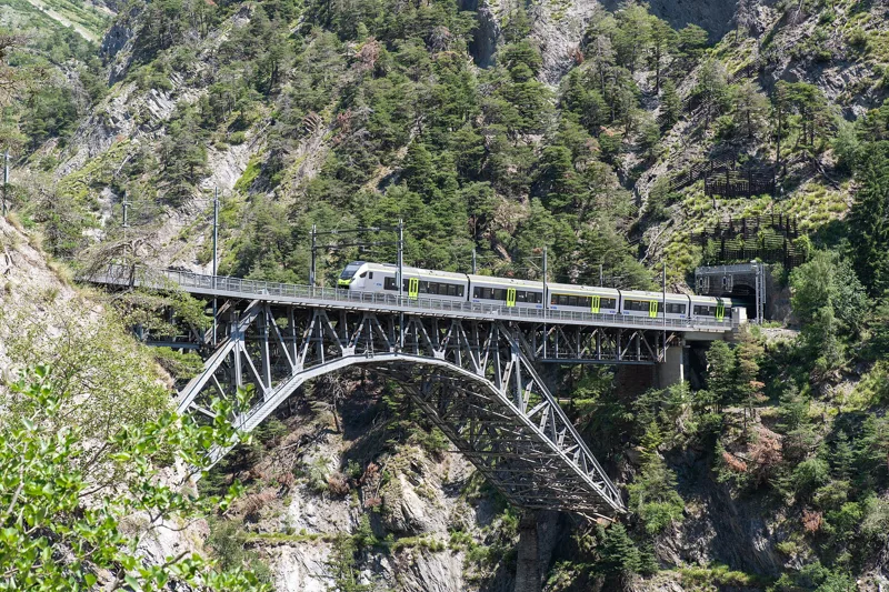
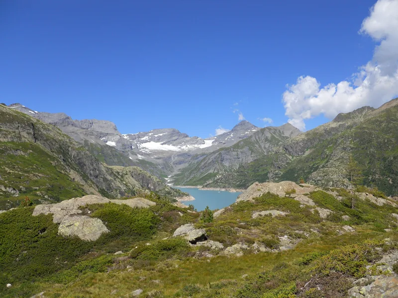
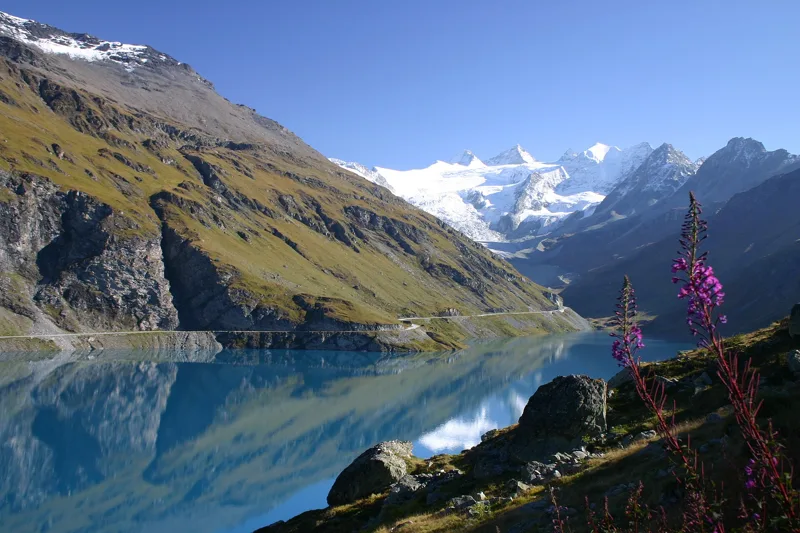
Valais
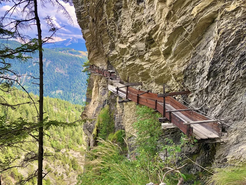
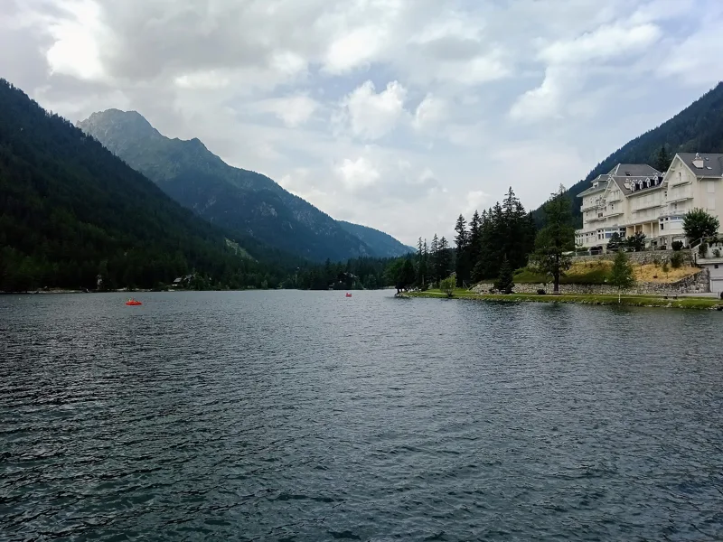
11 hikes, 2 h 20 to 5 h 25 of walkingThe region guide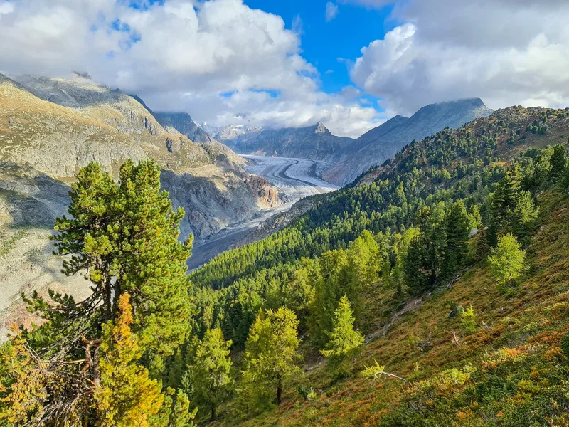
Bernese Oberland
11 hikes, 1 h 55 to 5 h 45 of walkingThe region guide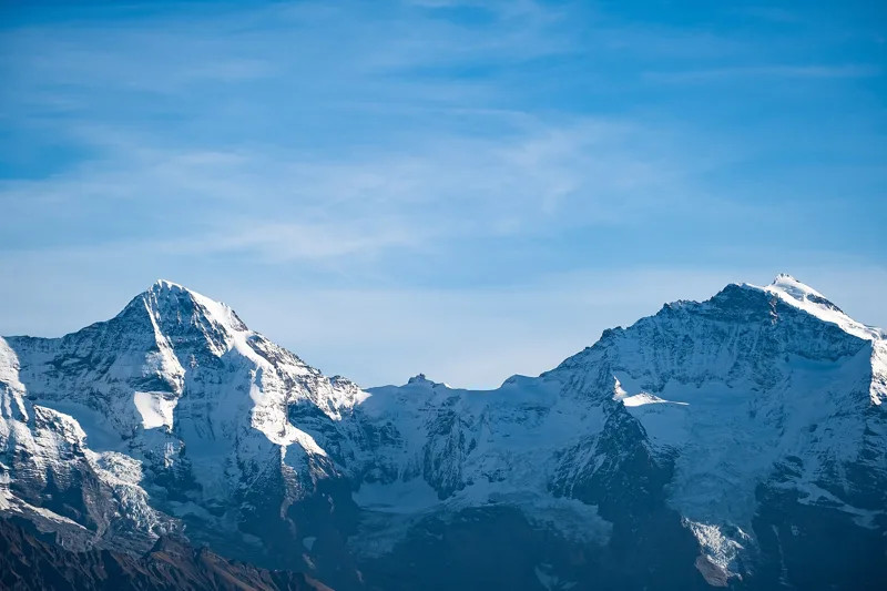
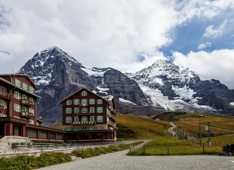
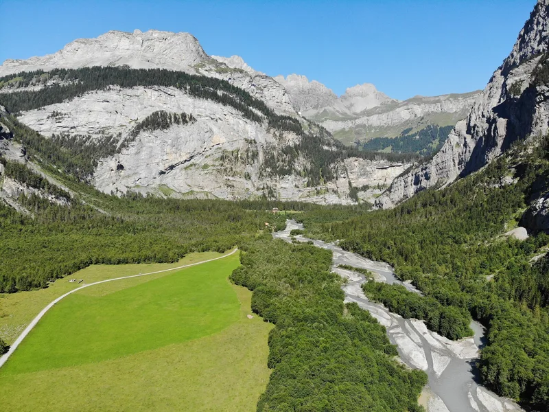
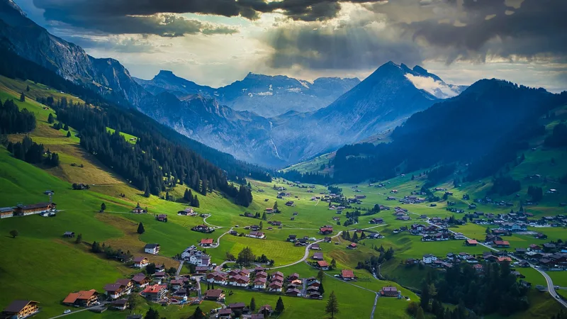
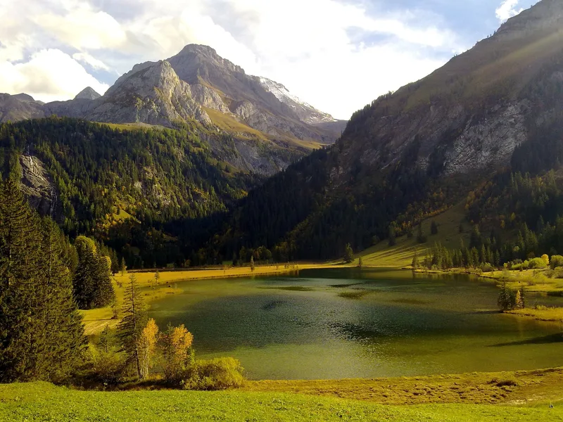
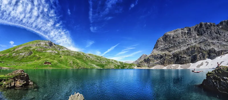
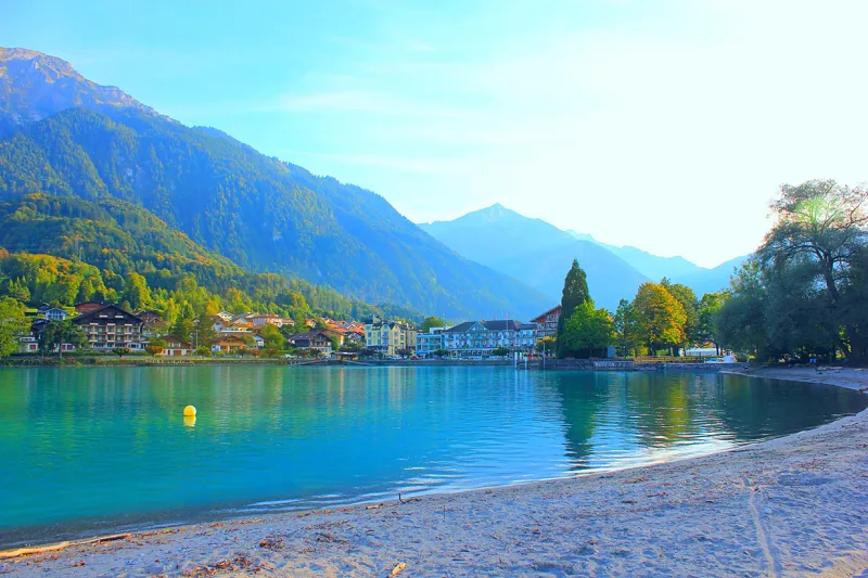
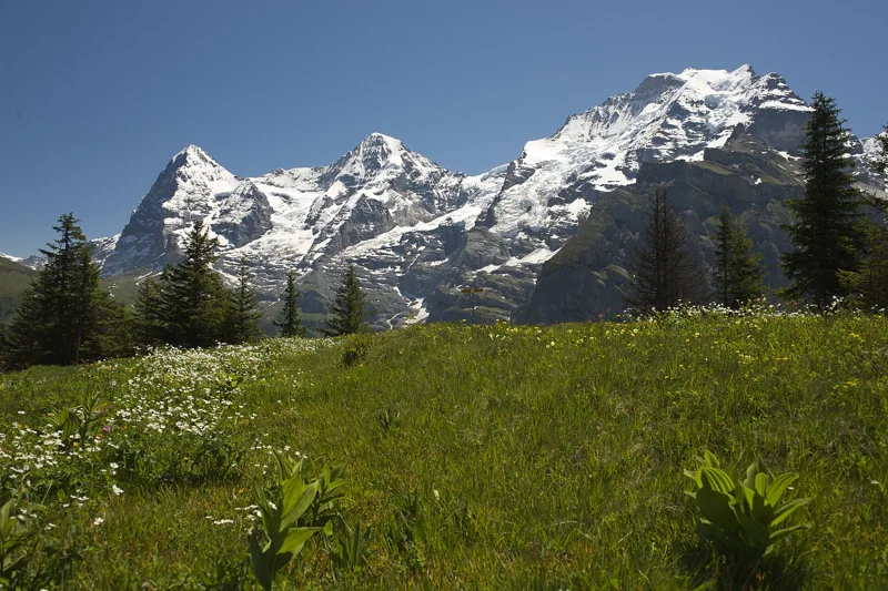
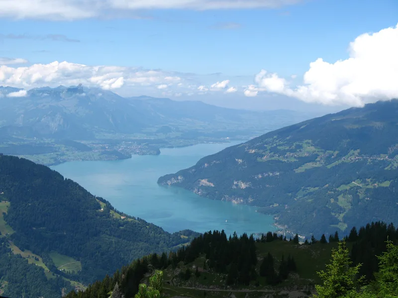
Vaud Alps
12 hikes, 2 h 00 to 6 h 10 of walkingThe region guide
Hikers' favourites
Ranked from the walks told on this site.
Rating = average of the diamonds given by hikers, from 1 to 5. A hike joins the ranking once it has 5 reviews, each checked before it goes online.
Find a hike
34 hikes
Valais
11 hikes
Switzerland / Valais
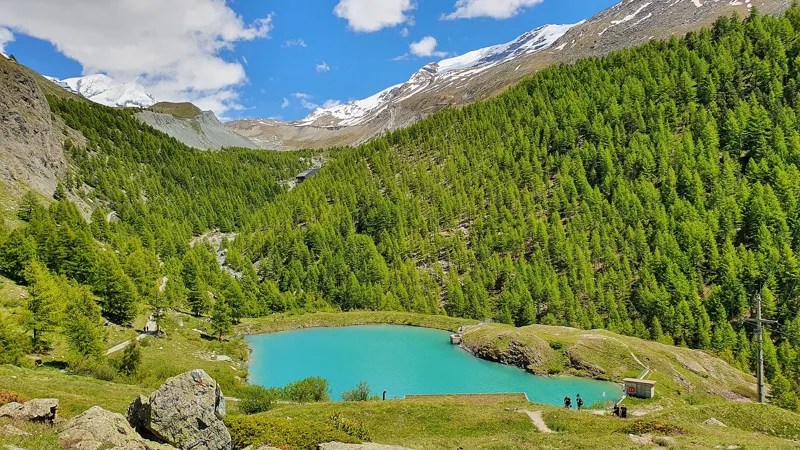
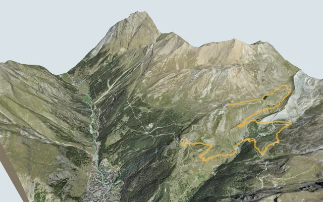
5-Seenweg Zermatt
Zermatt, Sunnegga3 h 15
11.3 km, 380 m ↑, 660 m ↓
Technical medium
Switzerland / Valais
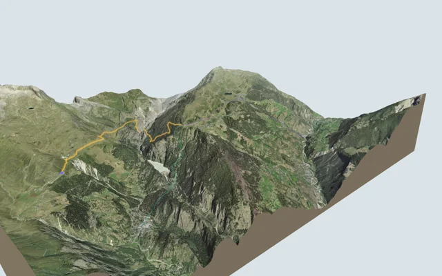
Blatten, Belalp → Riederalp, Riederfurka
Riederalp, Riederfurka3 h 45
9.9 km, 700 m ↑, 740 m ↓
Technical medium
Switzerland / Valais
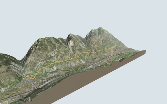
Gampel → Ausserberg
Ausserberg3 h 45
12.0 km, 620 m ↑, 240 m ↓
Technical easy
Switzerland / Valais
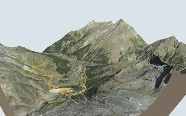
Gemsweg Saas-Fee
Saas-Fee2 h 20
7.9 km, 190 m ↑, 720 m ↓
Technical medium
Switzerland / Valais
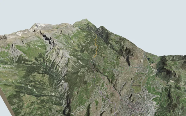
Grand Bisse d'Ayent
Arbaz, Etang-Long3 h 10
12.0 km, 150 m ↑, 620 m ↓
Technical medium
Switzerland / Valais
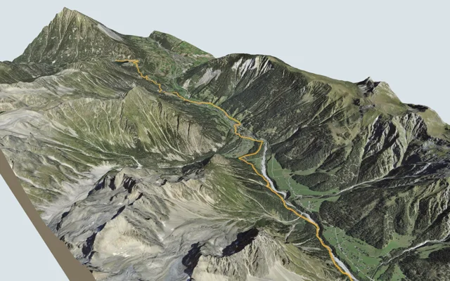
La Fouly → Champex-Lac
Champex-Lac4 h 30
15.2 km, 600 m ↑, 740 m ↓
Technical easy
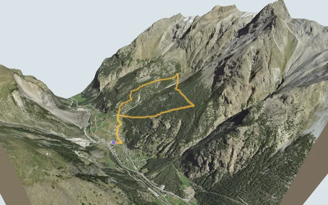
Switzerland / Valais
Randa Hängebrückenweg
Loop from Randa3 h 10
7.0 km, 700 m ↑, 700 m ↓
Technical medium
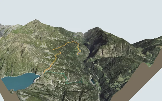
Switzerland / Valais
Sentier du Balcon du Mont-Blanc
Emosson, Barrage3 h 15
8.5 km, 880 m ↑, 140 m ↓
Technical easy
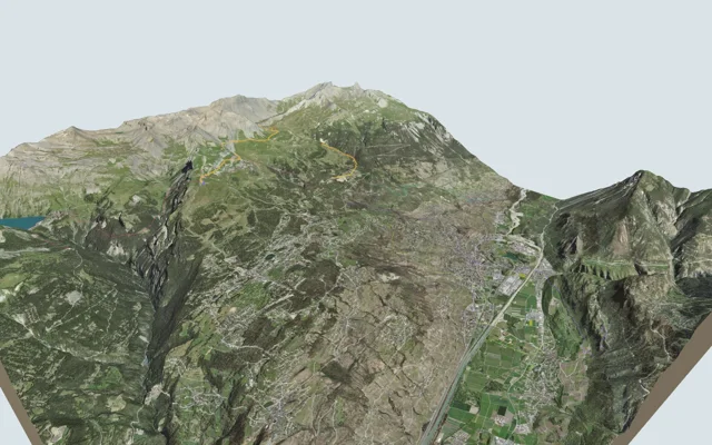
Switzerland / Valais
Sentier Panorama 4000
Crans-Montana, Aminona4 h 30
13.6 km, 540 m ↑, 1,300 m ↓
Technical medium
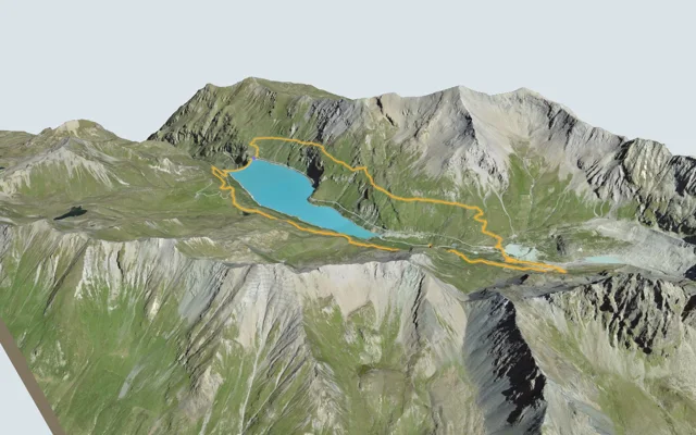
Switzerland / Valais
Tour du Lac de Moiry
Loop from Moiry, Barrage4 h 45
13.6 km, 840 m ↑, 840 m ↓
Technical medium
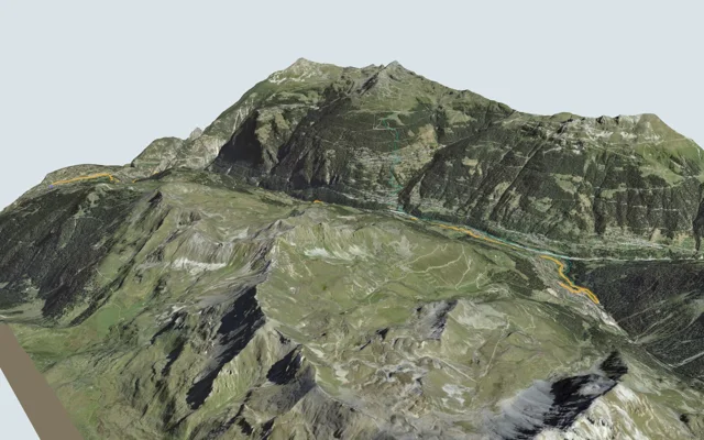
Switzerland / Valais
Vercorin → Grimentz
Grimentz5 h 25
16.8 km, 900 m ↑, 660 m ↓
Technical easy
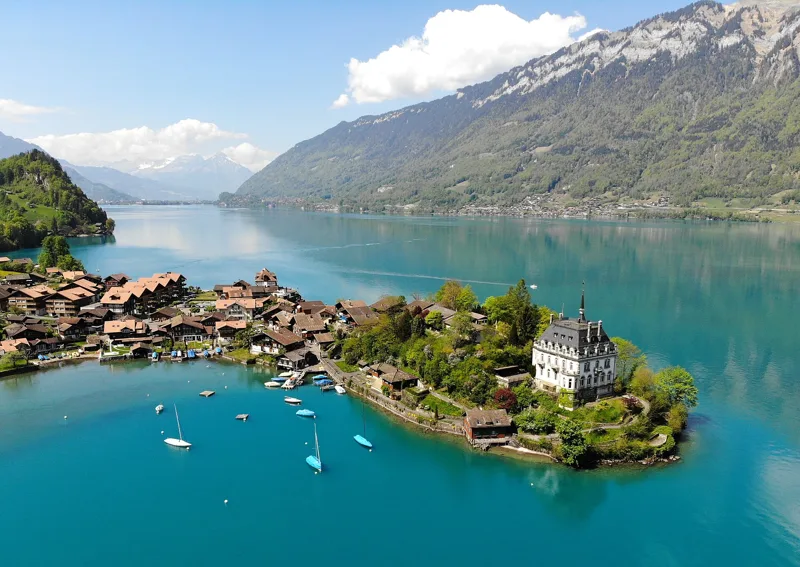
Bernese Oberland
11 hikes
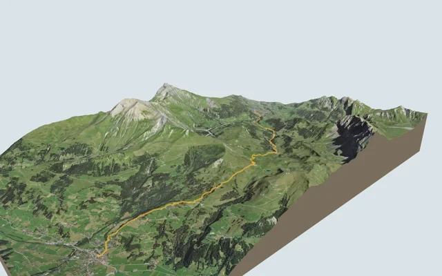
Switzerland / Bern / Bernese Oberland
Adelboden → Lenk
Lenk4 h 30
13.9 km, 700 m ↑, 1,000 m ↓
Technical easy
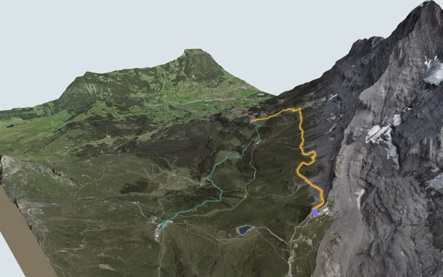
Switzerland / Bern / Bernese Oberland
Eiger Trail
Grindelwald (Alpiglen)1 h 55
6.0 km, 100 m ↑, 820 m ↓
Technical medium
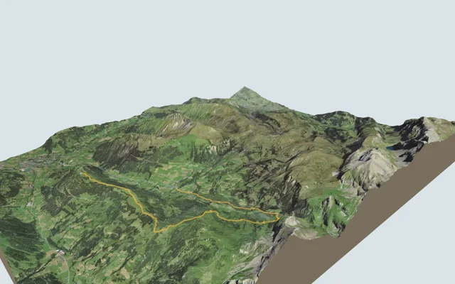
Switzerland / Bern / Bernese Oberland
Höhi-Wispile-Lauenensee-Weg
Lauenen4 h 00
14.0 km, 300 m ↑, 950 m ↓
Technical medium
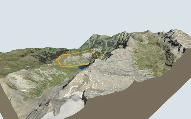
Switzerland / Bern / Bernese Oberland
Iffigsee-Rundweg
Loop from Lenk (Iffigenalp)4 h 25
10.9 km, 880 m ↑, 880 m ↓
Technical medium
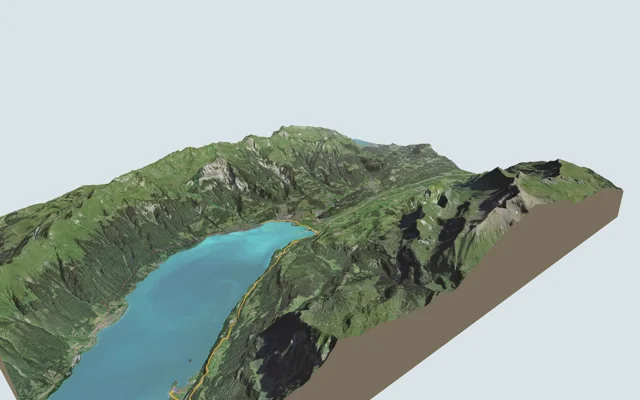
Switzerland / Bern / Bernese Oberland
Iseltwald → Brienz
Brienz3 h 25
11.7 km, 440 m ↑, 440 m ↓
Technical easy
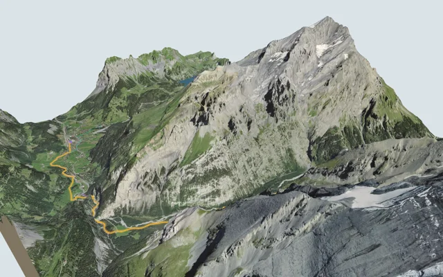
Switzerland / Bern / Bernese Oberland
Kandersteg → Selden
Selden3 h 00
10.7 km, 460 m ↑, 90 m ↓
Technical medium
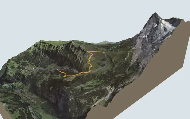
Switzerland / Bern / Bernese Oberland
Lauberhorn Trail
Kleine Scheidegg2 h 50
6.3 km, 820 m ↑, 260 m ↓
Technical medium
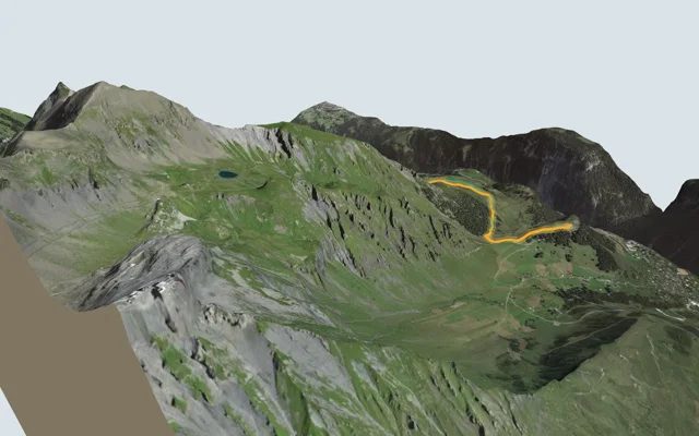
Switzerland / Bern / Bernese Oberland
Mountain View Trail
Mürren (Allmendhubel)2 h 00
5.1 km, 520 m ↑, 110 m ↓
Technical medium
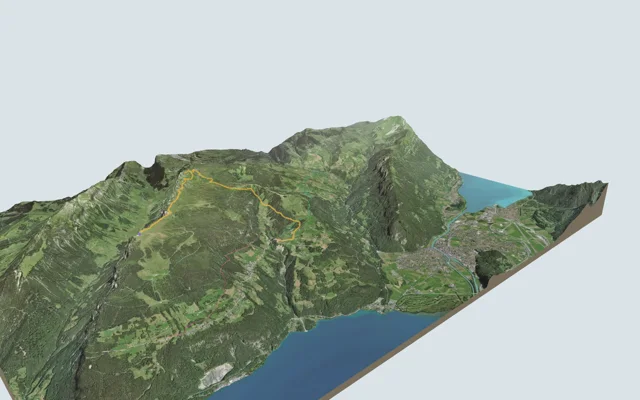
Switzerland / Bern / Bernese Oberland
Niederhorn-Panoramaweg
Waldegg3 h 35
10.8 km, 400 m ↑, 1,100 m ↓
Technical medium
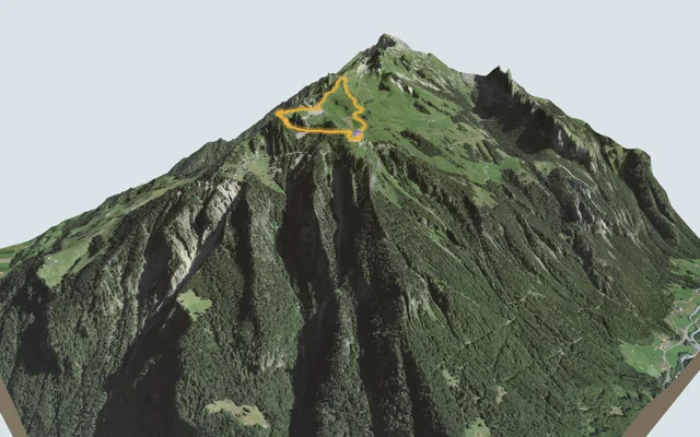
Switzerland / Bern / Bernese Oberland
Panoramaweg Schynige Platte
Loop from Schynige Platte1 h 55
5.7 km, 340 m ↑, 340 m ↓
Technical medium
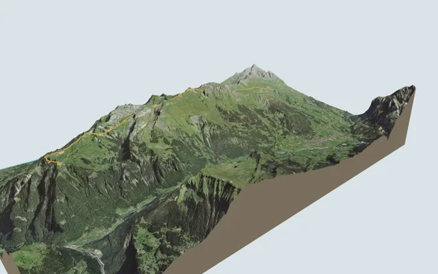
Switzerland / Bern / Bernese Oberland
Schynige Platte → Grindelwald, First
Grindelwald, First5 h 45
16.8 km, 1,100 m ↑, 900 m ↓
Technical medium
Vaud Alps
12 hikes
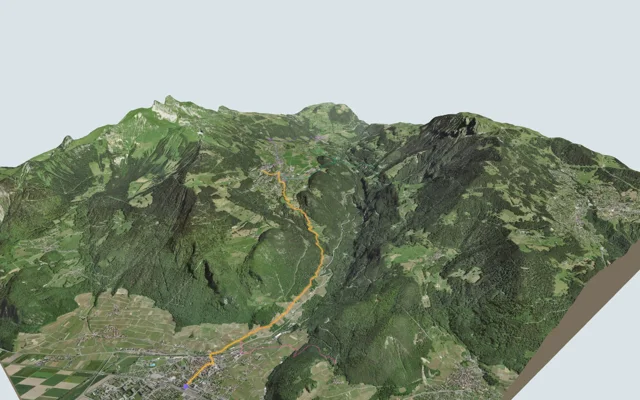
Switzerland / Vaud / Vaud Alps
Aigle → Leysin
Leysin3 h 10
7.0 km, 1,000 m ↑, 10 m ↓
Technical medium
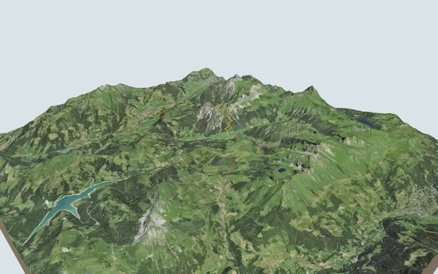
Switzerland / Vaud / Vaud Alps
Château-d'Oex → L'Etivaz
L'Etivaz5 h 30
13.6 km, 1,200 m ↑, 1,000 m ↓
Technical medium
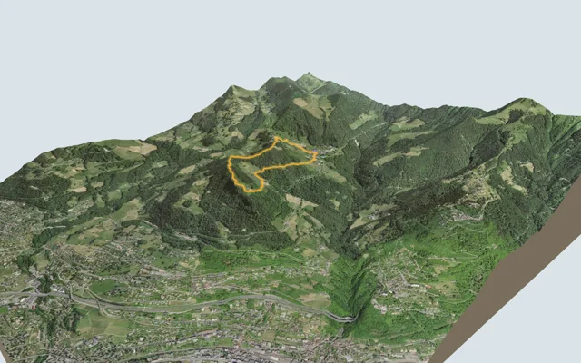
Switzerland / Vaud / Vaud Alps
Chemin des Narcisses
Loop from Montreux, Les Avants2 h 00
5.6 km, 360 m ↑, 360 m ↓
Technical easy
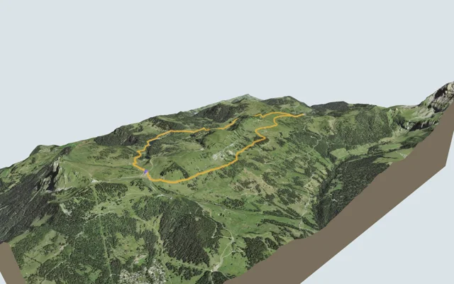
Switzerland / Vaud / Vaud Alps
Chemin des pyramides de gypse
Loop from Bretaye3 h 35
11.6 km, 540 m ↑, 540 m ↓
Technical medium
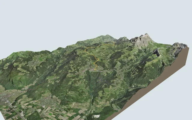
Switzerland / Vaud / Vaud Alps
Les Diablerets → Villars-sur-Ollon
Villars-sur-Ollon6 h 10
17.9 km, 1,100 m ↑, 1,000 m ↓
Technical medium
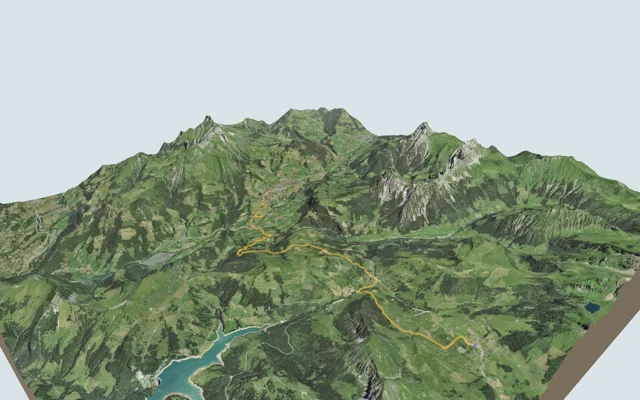
Switzerland / Vaud / Vaud Alps
Les Mosses → Château-d'Oex
Château-d'Oex4 h 15
15.4 km, 400 m ↑, 880 m ↓
Technical medium
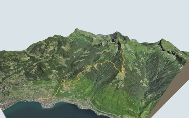
Switzerland / Vaud / Montreux Riviera
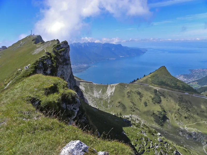
Rochers-de-Naye
Rochers-de-Naye station5 h 35
13.7 km, 1,700 m ↑, 90 m ↓
Technical medium
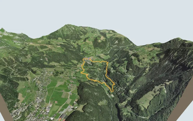
Switzerland / Vaud / Vaud Alps
Sentier des ponts historiques du Sépey
Loop from Le Sépey2 h 20
7.0 km, 400 m ↑, 400 m ↓
Technical easy
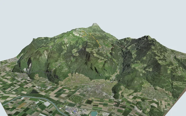
Switzerland / Vaud / Vaud Alps
Sentier des trois tours de Leysin
Leysin2 h 45
9.2 km, 220 m ↑, 880 m ↓
Technical medium
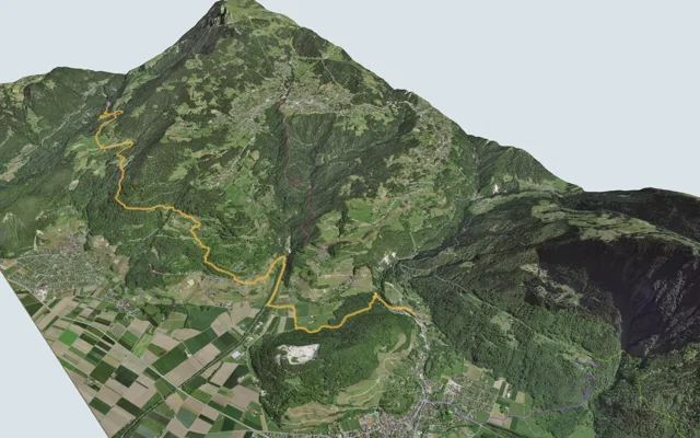
Switzerland / Vaud / Vaud Alps
Sentier du Sel
Bex3 h 35
13.2 km, 360 m ↑, 680 m ↓
Technical easy
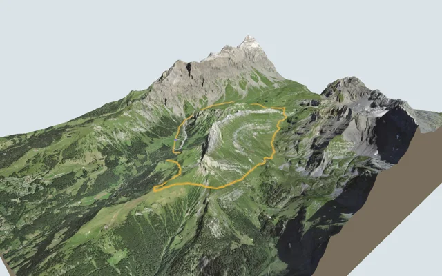
Switzerland / Vaud / Vaud Alps
Tour de l'Argentine
Loop from Solalex5 h 15
13.4 km, 1,050 m ↑, 1,050 m ↓
Technical medium
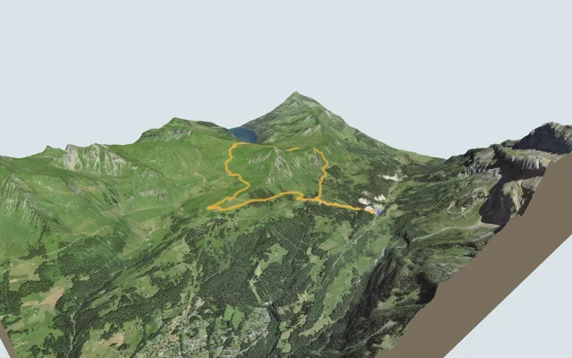
Switzerland / Vaud / Vaud Alps
Tour de La Palette
Loop from Col du Pillon3 h 10
9.2 km, 560 m ↑, 560 m ↓
Technical medium
No hike matches these filters. Remove one.
Questions people ask
How many hikes does Bivio offer?
34 hikes in 3 regions: Valais (11), Bernese Oberland (11) and Vaud Alps (12). Each one has its 3D flyover, official walking time, weather and train home.
Where do the walking times come from?
From the official SwitzerlandMobility routes and the Federal Roads Office: it is the time on the yellow signposts, breaks not included.
Does the 3D show the real terrain?
Yes. The terrain comes from swisstopo's swissALTI3D model and the imagery from SWISSIMAGE aerial photos, with a point every 5 m near the trail.
How fresh are the weather and train times?
The forecast comes from MeteoSwiss and the departures from the official public transport timetable, read live and shown with the time they were read.
Which is the shortest?
Eiger Trail: 1 h 55 of walking according to SwitzerlandMobility, 6.0 km, 100 m of climbing.
Where our figures come from
Official route and walking time
Every hike follows a waymarked SwitzerlandMobility route. Walking times and grades are theirs, read from their public file, with its date.
swisstopo terrain
The 3D view, profile, distance and climb are calculated on swisstopo's swissALTI3D elevation model and SWISSIMAGE aerial imagery.
Snow, closed trails, weather
The forecast comes from MeteoSwiss, snow depth from the MeteoSwiss and SLF stations, closed trails from FEDRO and the cantons, each with the time we read it. Until a value is read at its source, nothing is shown in its place.