
From the Wispile to the Lauenensee
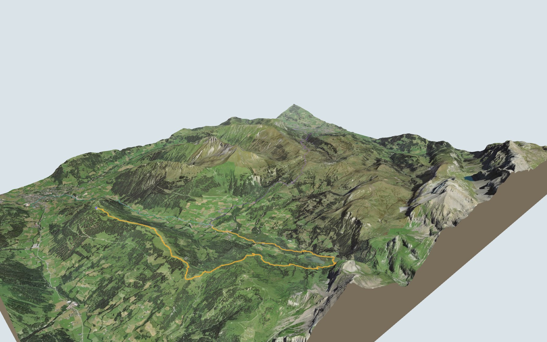
You start at Höhi Wispile, at the top of the gondola up from Gstaad, follow the ridge, cross the Chrine pass, then head down to the Lauenensee before finishing in the village of Lauenen. There is far more descent than climbing. SwitzerlandMobility gives 4 h 00 of walking and rates it difficult for fitness and medium for technique.
After the Chrine, the path enters the Lauenensee moorland, listed in the federal inventory, and only leaves it on the edge of Lauenen. Around the lake it also crosses the protected Gälte – Iffigen landscape, the same one as the Iffigsee loop. The trail profile shows you where the descent gets steeper.
You can also reach Lauenen on other paths that go neither over the Wispile nor past the lake: from the Eggli Talstation stop in Gstaad, a path that mostly climbs; or from Boden train stop in Lenk, a path that climbs and then drops again. Each start has its own colour in the 3D view and an estimated time under all starting points.
At the finish is the Lauenen b. Gstaad, Geltenhorn bus stop. Check the next departures and plan your day before you set off. Want more in the area? All hikes in the Bernese Oberland.
The story of the trail
What happened where you are going to walk, chapter by chapter.
From the ridge to the village
You start at 1,908 m at Höhi Wispile and finish at 1,241 m in Lauenen. In between: 14.0 km, 300 m of climbing and 950 m of descent according to SwitzerlandMobility, which gives 4 h 00 of walking in this direction and 4 h 40 the other way. The highest point, at 1,938 m, comes straight away, a few minutes after the start.
To get to the start, a two-section gondola links Gstaad (Talstation Wispile) with Höhi Wispile; it only runs at certain times of the year. At the start is the Berghaus Wispile. The next place to eat is the Bühlhaus Lauenensee, by the lake, two thirds of the way along: bring something to drink. On the way, follow the signposts and check the conditions on the day.
The ridge, the Chrine, then the Louwenetal
The path first follows the Höhi Wispile ridge and passes the Stand shortly after the start. After a good third of the way it reaches the Chrine pass, climbs again, then drops into the Louwenetal. It crosses the Weerebach halfway and reaches the lakeside, where the Bühlhaus Lauenensee stands, at 1,380 m.
Just after the lake, the path crosses the Seebach, then goes through the Rossfalleschlucht gorge. A little further down, the Bochtehus-Beizli is two minutes off the path. Then the path passes close to the Blattibach and crosses the Louwibach in Lauenen, shortly before the finish.
Two lakes on a terrace
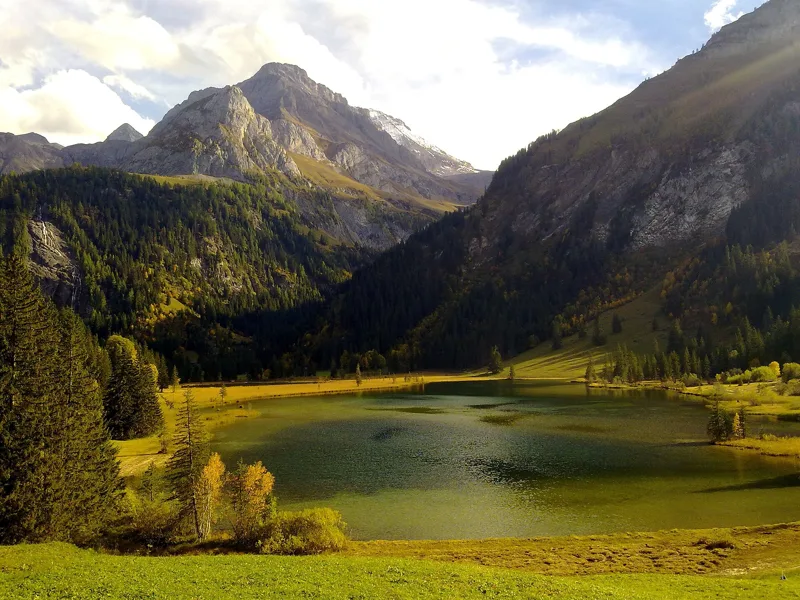
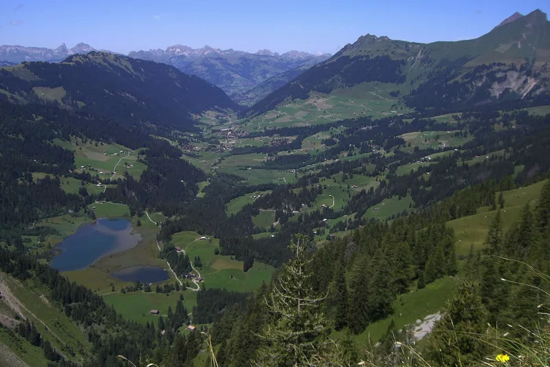
As you approach the lake, the path enters the Gälte – Iffigen landscape, listed in the Federal Inventory of Landscapes, and leaves it just after the lake. The two Lauenen lakes sit on a marshy terrace at 1,380 m: the larger covers 9 hectares, the smaller 1.5 hectares. They are ringed by silting-up zones with plant communities rich in species. South-east of the lakes, the Tungelschutz waterfall pours down over high rock steps.
According to the Federal Inventory of Landscapes, for a few water birds the lake is one of the highest breeding sites in the Alps, and a stopover for migrating birds, including the endangered tufted duck. The lakes are also an amphibian breeding site of national importance. The terrace sits on the northernmost fold of the Wildhorn nappe; after the last Ice Age, the Gältebach and the Tungelbach cut a way through it along the right-hand side of the valley.
A moorland of national importance
Just after the Chrine, the path enters the Lauenensee moorland, listed in the federal inventory of mire landscapes of particular beauty and national importance. It only leaves it on the edge of Lauenen. The mires here are exceptionally large and well preserved; according to the inventory sheet, besides secondary raised bogs, almost every type of fen found in Switzerland occurs here.
Many of these fens are mown in the traditional way for litter. Shortly before Lauenen, the path passes through the Rohr fen, listed in the federal inventory of fens. The mire landscape sheet describes the marshy Rohr plain, where the Louwibach meanders naturally, as unique in the Swiss Prealps and Alps for its size and quality.
Lauenen, a parish since 1522
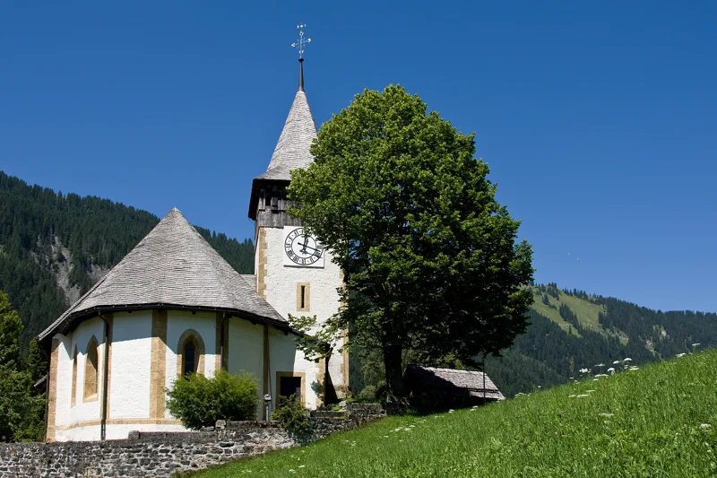
The place first appears in 1296 as "an der Lowinon". The community of Lauenen depended on Saanen for administration and for the Church; after long negotiations, it was made a parish in its own right in 1522. St Peter's church was built between 1518 and 1524, and Reformed worship came in 1556. The village also has richly decorated 18th-century chalets, with the nature reserves of Gelten-Iffigen and the Lauenen lake all around.
The Reformed church is close to the finish. The walk ends at the Lauenen b. Gstaad, Geltenhorn bus stop; further down the page you will find the next departures.
Every way to Lauenen
3 starting points to reach Lauenen. Pick yours: the 3D view shows it and “My day” recalculates.
Walking times without breaks. “Estimated” times are calculated on the swisstopo profile with a model fitted to the official SwitzerlandMobility stages; the shortest path may differ from the one on the yellow signposts: on the ground, follow the signs. Gradient: the steepest over 200 m of trail. Profiles share the same scale (length and altitude). Stations and car parks within 500 m of the start, according to OpenStreetMap.
In pictures
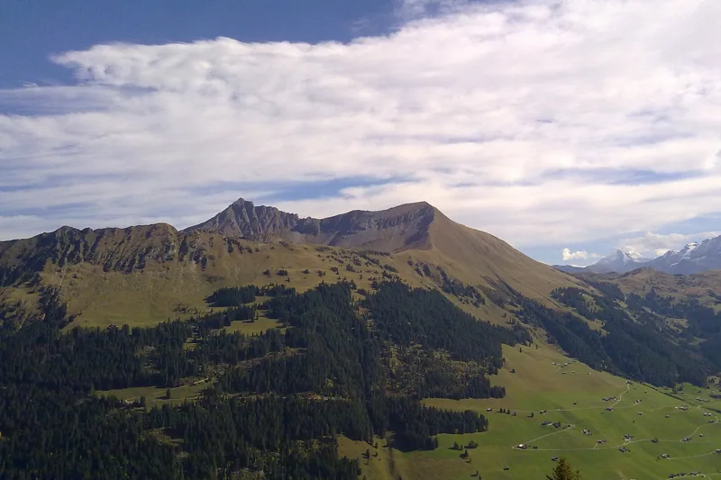
The Giferspitz, seen from the Wispile, near Gstaad
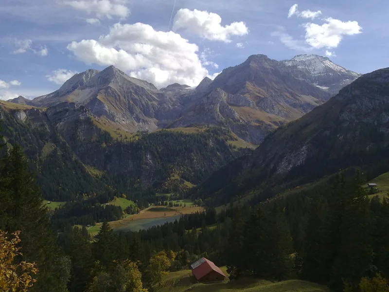
The Lauenen valley
The Lauenental
The Lauenensee
By the Lauenensee, Lauenen near Gstaad
The Lauenensee on the left, with the village of Lauenen and Gstaad in the background
A large field near Lauenen, on 9 July 2020
The Reformed church in Lauenen (BE)
The Reformed church in Lauenen, a cultural property of regional significance
What you see from the top
360° view from Station Höhi Wispile (1,938 m). 45 named peaks, including Grand Combin, 55.6 km away. Swipe to look around.
The next few days
MeteoSwiss local forecast, updated every hour
Reading the MeteoSwiss forecast…
My day
Pick your day and start time: everything updates.
- Arrival at Lauenen
- 12:30 4 h 00 of walking without breaks, starting at 08:30
The trail, kilometre by kilometre
Places are listed under the kilometre where you pass them. Drag along the profile: the marker moves on the 3D view too.
- under 10 %
- 10 to 20 %
- 20 to 30 %
- over 30 %
- fountain or water point
- toilets
Around the trail (250 m, OpenStreetMap, extract of 25/10/2026): 3 restaurants, 0 cafés, 1 fountain or water point, 3 toilets. Estimated time: the official walking time spread by effort (1 km on the flat counts as 100 m of climbing), start time set in “My day”.
Getting there and back
Back by public transport from the Lauenen b. Gstaad, Geltenhorn stop
Next departures from Lauenen b. Gstaad, GeltenhornReading the official timetable…
By car
Careful, this is one way: public transport back arrives in Lauenen b. Gstaad, Geltenhorn, not in Station Höhi Wispile. Plan to get back to your car by public transport, or park at the finish and take the train to the start.
Public car parks within 600 m of the start, according to OpenStreetMap: prices and number of spaces may have changed, check the signs on site.
Questions people ask
How long is the hike from Station Höhi Wispile to the finish (Lauenen)?
4 h 00 of walking according to SwitzerlandMobility, in this direction, not counting breaks. The other way: 4 h 40.
Is it hard?
SwitzerlandMobility rates this stage: fitness difficult, technique medium. It is 950 m of descent over 14.0 km.
Can I get back by public transport?
Yes. The Lauenen b. Gstaad, Geltenhorn stop is at the finish. The next departures show live under “Getting there and back”.
Where can I eat on the way?
3 restaurants, cafés and huts within 250 m of the trail, including Berghaus Wispile, Bühlhaus Lauenensee, Bochtehus-Beizli. Where they are and their opening hours: below the profile.
Is there water and are there toilets on the way?
1 fountain or water point and 3 toilets within 250 m of the trail (survey of 25/10/2026).
Can I download the track?
Yes, as a GPX file for your watch or map app: “Download the track” button at the top of the page.
More hikes within 10 km
Official SwitzerlandMobility stages that pass within 10 km of this trail. Each card says whether its page is already up.
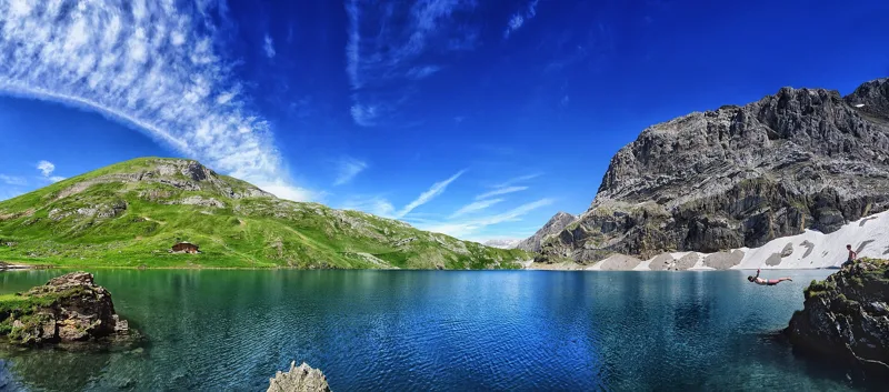 Lenk (Iffigenalp), loop4 h 25Iffigsee-Rundweg11.0kmDistance880mAscent880mDescentTechnical mediumFitness medium. See the hike
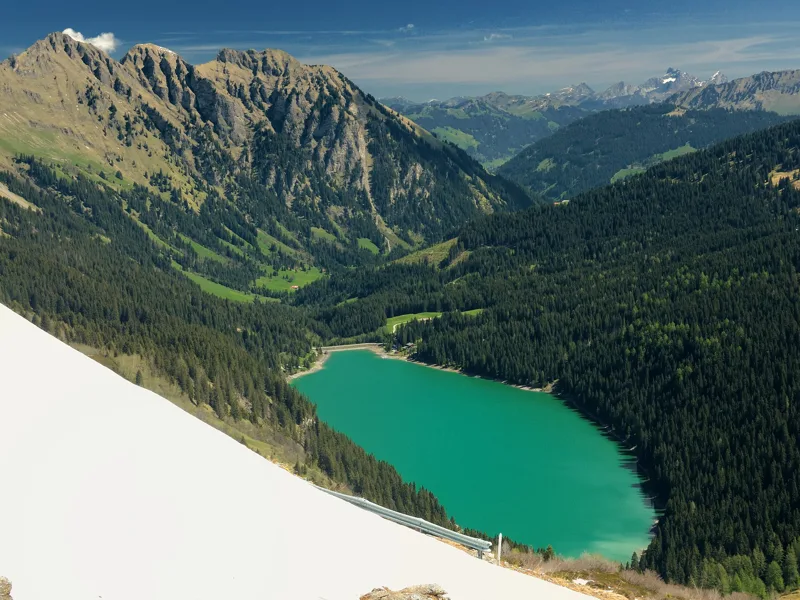 Col du Pillon, loop3 h 10Tour de La Palette9.0kmDistance560mAscent560mDescentTechnical mediumFitness medium. See the hike
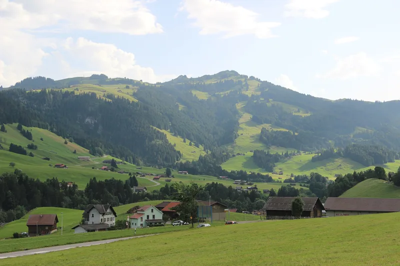 Château-d'Oex → L'Etivaz5 h 30Tour des Alpes Vaudoises, stage 414.0kmDistance1,200mAscent1,000mDescentTechnical mediumFitness difficult. See the hike
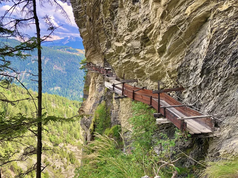 Tseuzier, Barrage → Arbaz, Etang-Long3 h 10Grand Bisse d'Ayent12.0kmDistance150mAscent620mDescentTechnical mediumFitness medium. See the hike
- Gsteig → Hôtel du Sanetsch4 h 50Sanetsch-Muveran-Weg, stage 113.0kmDistance1,150mAscent300mDescentTechnical mediumFitness difficult. Page coming
- Gstaad → L'Etivaz6 h 25Via Alpina, stage 1716.0kmDistance1,250mAscent1,200mDescentTechnical mediumFitness difficult. Page coming