
A loop out to the gypsum pyramids
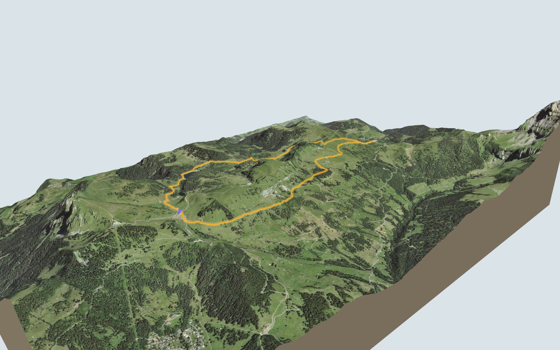
You start at the Col de Bretaye, where the train up from Villars stops, and you finish there too. In between, the path makes a loop, passes three lakes and heads out to the gypsum pyramids near the Col de la Croix. SwitzerlandMobility rates it medium for both fitness and technique, and gives the same walking time in either direction.
The first stretch runs past Lac de Bretaye, Lac Noir and Lac des Chavonnes. The path then goes through Perche and climbs towards L'Encrène, where you reach the highest point. It drops down to the Col de la Croix, doubles back for a short way, then returns to Bretaye via Ensex and Plan Vaisy. The elevation profile shows you where it climbs.
Just want to see the pyramids? You can get to the Col de la Croix by car or public transport, then walk a quarter of an hour to them. Stage 6 of the Tour des Alpes vaudoises, from Les Diablerets to Villars-sur-Ollon, also uses part of this path.
For food, you have the Restaurant du Lac de Bretaye right at the start, then the Lac des Chavonnes restaurant by the lake. The next place to eat is Bretaye 1808, just before the finish, so bring something to eat and drink. Check the next trains from Bretaye and plan your day before you set off. Looking for more in the area? See all hikes in the Vaud Alps.
The story of the trail
What happened where you are going to walk, chapter by chapter.
Three lakes to start with
You start at the Col de Bretaye, at 1,805 m, and come back to it. The loop is 11.6 km long; SwitzerlandMobility gives 540 m of climbing, the same amount of descent, and 3 h 35 of walking time in either direction. On the way, follow the signposts and check the conditions on the day.
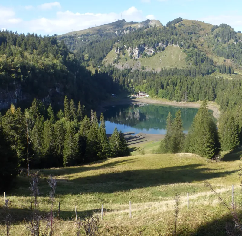
The first two kilometres take you past Lac de Bretaye, Lac Noir and close to Lac de l'Entonnoir, then reach the shore of Lac des Chavonnes. It is a natural lake, where patient anglers try their luck with the trout. There is also a legend: a treasure is said to be hidden in the lake, guarded by a white dragon, with white diamonds sparkling at the bottom of the water; sceptics see rock studded with pyrite instead.
Through Perche and L'Encrène
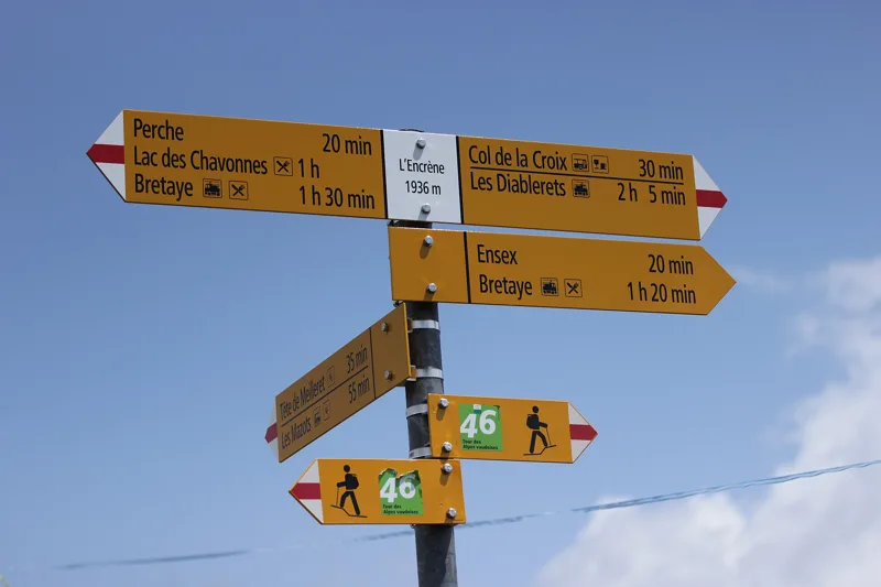
After the lake, the path passes the spot called Vy Boveyre, crosses the Ruisseau de Brison stream and reaches Perche. It then climbs past Vieille Case to the highest point of the loop, 1,935 m, next to L'Encrène.
From there it drops down to the Col de la Croix, where you'll find the Villars-s.-O., Col de la Croix bus stop. At the pass the route turns round and climbs back along the same path for a short way, before heading off towards Ensex.
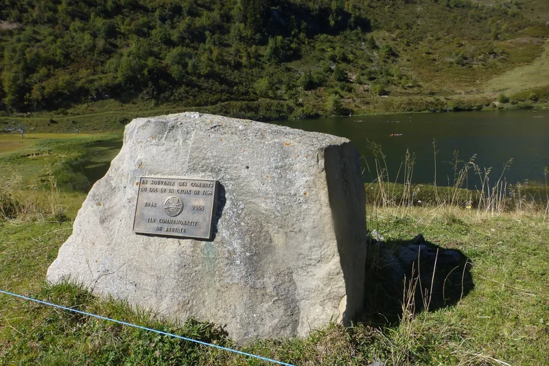
A pass and a battle
The Col de la Croix is famous for its gypsum pyramids. It used to be known as Croix d'Arpille, and there were two paths: a mule track lower down and, higher up, a footpath for local use.
On 5 March 1798, Franco-Vaud troops fought here against the men of the Ormonts, who sided with Bern. The road for carts, decided by the Vaud cantonal parliament in 1868, was only built after the First World War; it was surfaced with concrete in 1971.
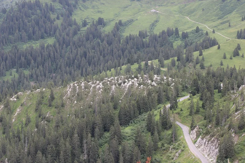
Gypsum that water dissolves
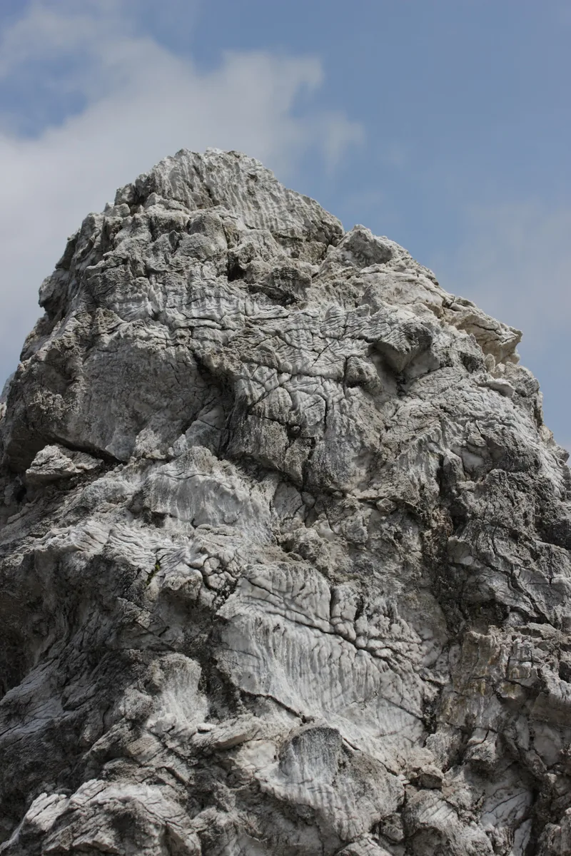
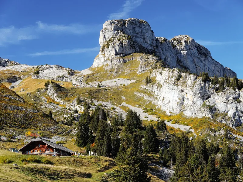
The landscape of the Col de la Croix is shaped by gypsum pyramids, white pointed forms, and by sinkholes left by the rapid dissolution of this rock, laid down in the Triassic more than 210 million years ago. The pyramids are one of the reasons this landscape is listed in the Federal Inventory of Landscapes (IFP), as site no. 1503 of national importance, and the inventory aims to conserve them. The path crosses this protected site from around L'Encrène until after the pass. The pyramids are a curiosity of karst origin, shaped by erosion from water and wind, to be discovered in summer only.
Under your feet there is Triassic cornieule (cellular dolomite) around the pass, a sinkhole just after the pass, then gypsum a little further on. Around the highest point there are Eocene conglomerates, sandstones and limestones; near the lakes, mostly rocks of the Niesen nappe. Mountain pine and heather woods grow near the pyramids, and at Ensex there is a fen of national importance.
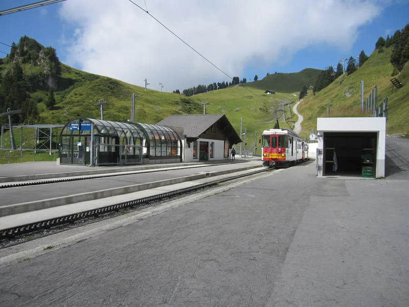
Back via Ensex, and the train at Bretaye
After the pass, the path goes through Ensex and Plan Vaisy. Some paths to the pyramids pass through the traditional alpine pastures of Ensex. The path then passes near the Villars golf course and climbs back to the Col de Bretaye, where you find the Bretaye 1808 restaurant.
At Bretaye you catch the train again. The Bex-Villars railway, opened in 1901, was extended to Bretaye in 1913. Further down the page you'll find the next departures to Villars.
In pictures
A gypsum pyramid up close
Col de la Croix (Vaud)
Lac des Chavonnes, its restaurant and surroundings, seen from Vy Boveyre
Hiking sign at L'Encrène (1934 m)
The gypsum pyramids in the forest, seen from above
Memorial by Lac de Bretaye: "In memory of the fighting at the Col de la Croix in 1798"
View of Lac des Chavonnes near Villars-sur-Ollon, albumen print dated 1900 (Rijksmuseum)
Common spotted orchid (Dactylorhiza fuchsii) on the path between L'Encrène and the Col de la Croix
Bearded bellflower (Campanula barbata) near Lac des Chavonnes, Ormont-Dessous
A Bex-Villars-Bretaye train arriving at Col-de-Bretaye
House roofed with wooden shingles (tavillons) at the Col de Bretaye, near Villars-sur-Ollon
The next few days
MeteoSwiss local forecast, updated every hour
Reading the MeteoSwiss forecast…
My day
Pick your day and start time: everything updates.
- Arrival at Bretaye
- 12:05 3 h 35 of walking without breaks, starting at 08:30
The trail, kilometre by kilometre
Places are listed under the kilometre where you pass them. Drag along the profile: the marker moves on the 3D view too.
- under 10 %
- 10 to 20 %
- 20 to 30 %
- over 30 %
- fountain or water point
- toilets
Around the trail (250 m, OpenStreetMap, extract of 25/10/2026): 3 restaurants, 0 cafés, 3 fountains and water points, 2 toilets. Estimated time: the official walking time spread by effort (1 km on the flat counts as 100 m of climbing), start time set in “My day”.
Getting there and back
Back by public transport from the Col-de-Bretaye stop
Next departures from Col-de-BretayeReading the official timetable…
By car
Careful, this is one way: public transport back arrives in Col-de-Bretaye, not in Bretaye. Plan to get back to your car by public transport, or park at the finish and take the train to the start.
Public car parks within 600 m of the start, according to OpenStreetMap: prices and number of spaces may have changed, check the signs on site.
Questions people ask
How long is the hike from Bretaye to the finish (Bretaye)?
3 h 35 of walking according to SwitzerlandMobility, in this direction, not counting breaks. The other way: 3 h 35.
Is it hard?
SwitzerlandMobility rates this stage: fitness medium, technique medium. It is 540 m of climbing over 11.6 km.
Can I get back by public transport?
Yes. The Col-de-Bretaye stop is at the finish. The next departures show live under “Getting there and back”.
Where can I eat on the way?
3 restaurants, cafés and huts within 250 m of the trail, including Restaurant du Lac de Bretaye, Restaurant Lac des Chavonnes, Bretaye 1808. Where they are and their opening hours: below the profile.
Is there water and are there toilets on the way?
3 fountains and water points and 2 toilets within 250 m of the trail (survey of 25/10/2026).
Can I download the track?
Yes, as a GPX file for your watch or map app: “Download the track” button at the top of the page.
More hikes within 10 km
Official SwitzerlandMobility stages that pass within 10 km of this trail. Each card says whether its page is already up.
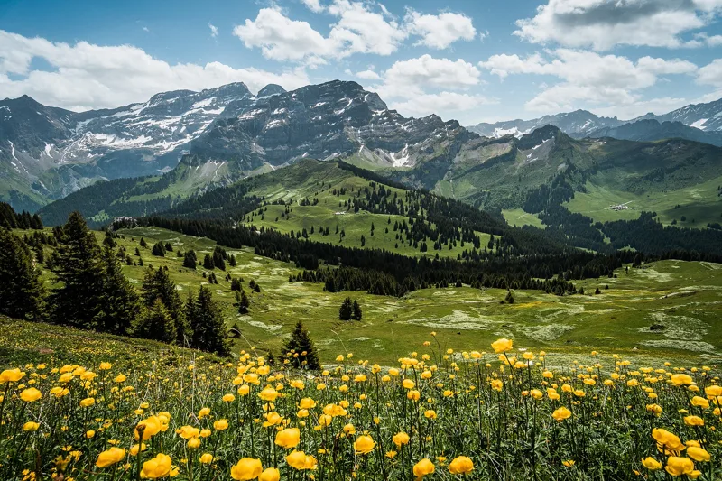 Les Diablerets → Villars-sur-Ollon6 h 10Tour des Alpes Vaudoises, stage 618.0kmDistance1,100mAscent1,000mDescentTechnical mediumFitness difficult. See the hike
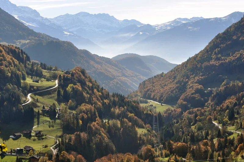 Le Sépey, loop2 h 20Sentier des ponts historiques du Sépey7.0kmDistance400mAscent400mDescentTechnical easyFitness medium. See the hike
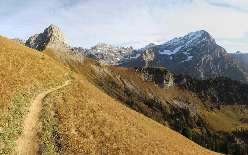 Solalex, loop5 h 15Tour de L’Argentine13.0kmDistance1,050mAscent1,050mDescentTechnical mediumFitness difficult. See the hike
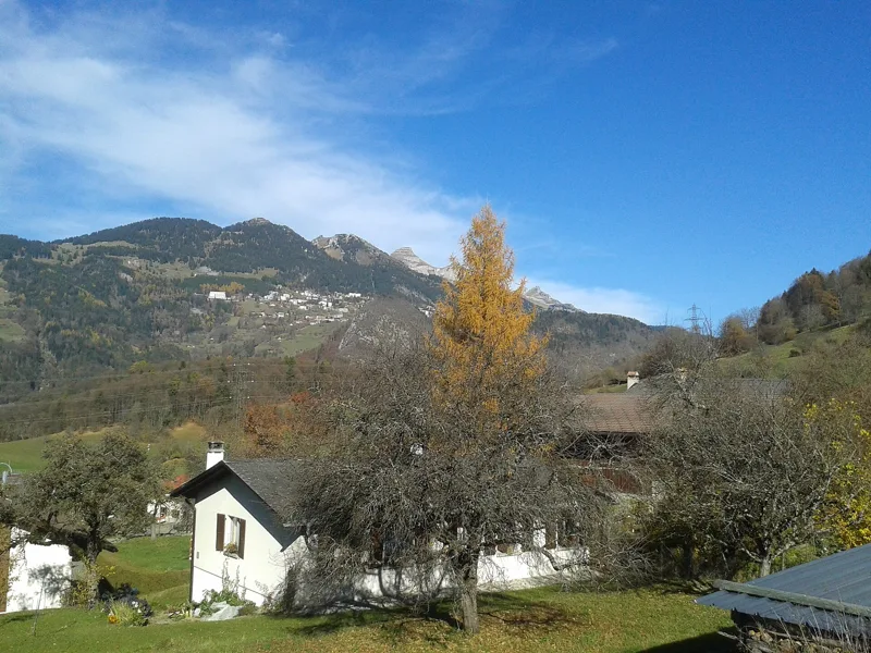 Plambuit → Bex3 h 35Sentier du Sel13.0kmDistance360mAscent680mDescentTechnical easyFitness medium. See the hike
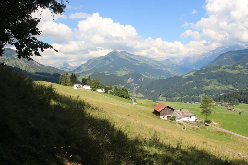 Aigle → Leysin3 h 10Tour des Alpes Vaudoises, stage 17.0kmDistance1,000mAscent10mDescentTechnical mediumFitness difficult. See the hike
 Leysin, Berneuse → Leysin2 h 45Sentier des trois tours de Leysin9.0kmDistance220mAscent880mDescentTechnical mediumFitness medium. See the hike