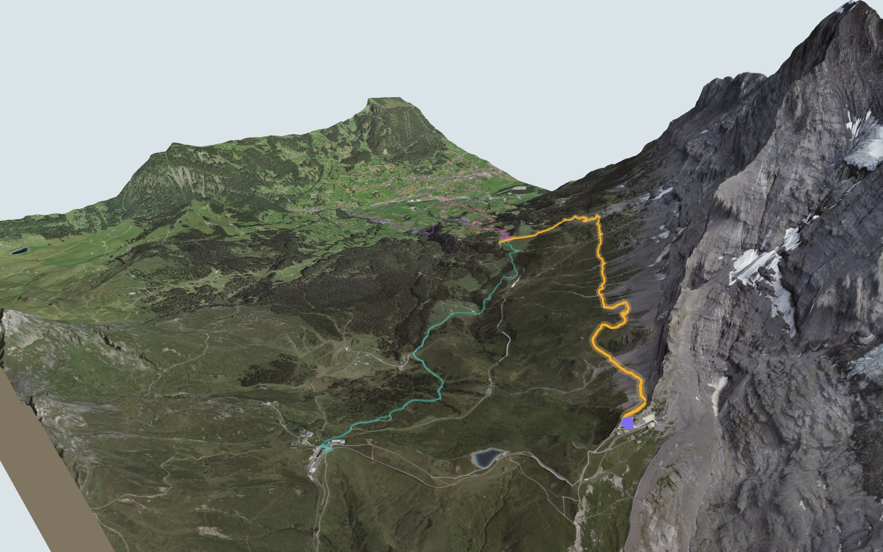

Hiking along the foot of the Eiger North Face
You don't climb the Eiger here: you walk right underneath it. The trail starts at Eigergletscher station and follows the foot of the North Face down to the Alpiglen pasture. It is mostly downhill, with one short climb around the first kilometre. SwitzerlandMobility rates it medium for both fitness and technique.
You reach Eigergletscher on the Jungfrau Railway or on the Eiger Express gondola from Grindelwald. From there the path runs below the rock face, crosses scree and mountain streams, then drops down to the meadows of Alpiglen. The elevation profile shows you where the descent gets steeper.
Want a shorter version, or an uphill one? Start from Kleine Scheidegg or Hinder der Egg, or walk up from Brandegg or Schwendi: each starting point has its own colour in the 3D view and an estimated time under all starting points. On the other side of Kleine Scheidegg, the Lauberhorn Trail also shows up in the 3D view.
At the finish you'll find the Berghaus Alpiglen and a stop on the Wengernalp Railway, the line linking Grindelwald and Kleine Scheidegg. Check the next departures from Alpiglen and plan your day before you set off. Looking for more in the area? See all hikes in the Bernese Oberland.
The story of the trail
What happened where you are going to walk, chapter by chapter.
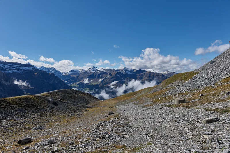
Downhill below the wall
You start at 2,328 m at Eigergletscher station and finish at 1,615 m in Alpiglen. In between: 6.0 km, plus 100 m of climbing and 820 m of descent according to SwitzerlandMobility. It gives 1 h 55 of walking time in this direction, and 2 h 45 the other way, uphill.
Right by the station, there's the Restaurant Eigergletscher and the Bistro Eigergletscher. The next place to eat is the Berghaus Alpiglen, at the finish, so bring something to drink. On the way, follow the signposts and check the conditions on the day.
The railway inside the Eiger
You start from the first station opened on the Jungfrau Railway. Industrialist Adolf Guyer-Zeller applied for the concession on 20 December 1893, and work began on 27 July 1896. The first open-air section, from Kleine Scheidegg, opened to Eigergletscher on 19 September 1898. That day Gottfried Strasser, Grindelwald's "glacier pastor", gave a mountain sermon.
Guyer-Zeller died on 3 April 1899 and his sons carried on the work. The tunnel through the Eiger reached Eigerwand station, opened in 1903 right in the North Face, then Eismeer in 1905, and finally the Jungfraujoch in 1912. Since 5 December 2020, the Eiger Express gondola has also linked Grindelwald Terminal with Eigergletscher.
The North Face, 1858 to 1938
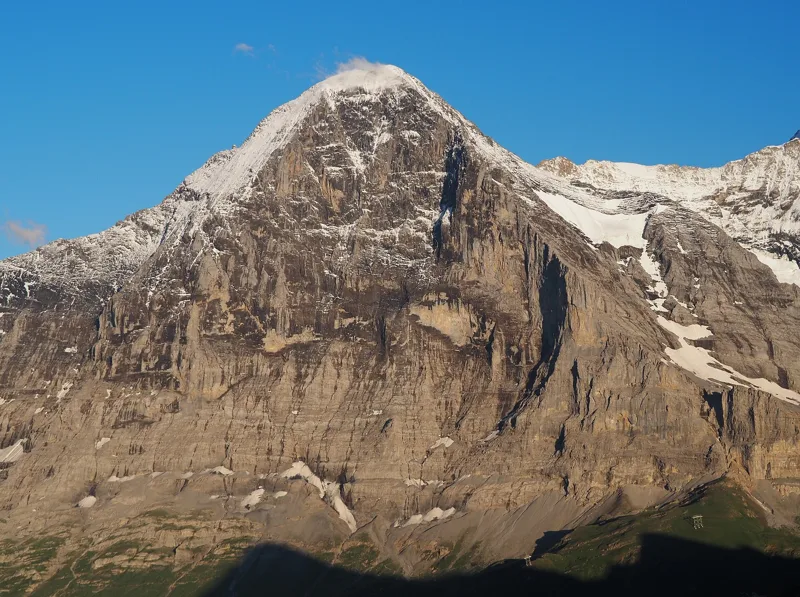
The Eiger was first climbed on 11 August 1858, by the west flank, by the Irishman Charles Barrington with the guides Christian Almer and Peter Bohren. The North Face, the one you walk beneath, held out much longer: it is notorious for rockfall and sudden changes in the weather.
In July 1938, the Germans Anderl Heckmair and Ludwig Vörg and the Austrians Heinrich Harrer and Fritz Kasparek climbed the face, in four days. Nazi propaganda seized on their climb. Even today, with binoculars, you can sometimes spot climbers on the face from the trail.
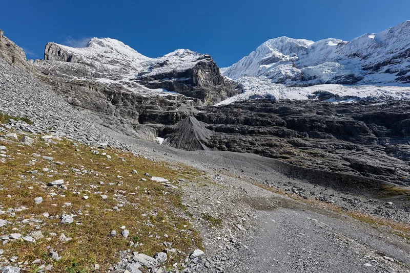
A shrinking glacier, rock full of fossils
Above the station lies the Eiger Glacier, the Eigergletscher. GLAMOS, the Swiss glacier monitoring network, has been tracking its snout since 1876. Every measurement it published between 1990 and 2021 shows the glacier retreating.
Underfoot, there's mostly Helvetic limestone, breccia and sandstone, broken up by scree and moraine. Part of the trail crosses the Öhrli Formation: pale Early Cretaceous limestone packed with fossils of corals, snails and bivalves.
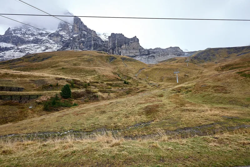
Alpiglen, the railway pasture
The last bends drop through the meadows to the Berghaus Alpiglen, at 1,619 m. In 2017 the inn could only be reached by train or on foot: its supplies came up on the Wengernalp Railway's goods train from Grindelwald Grund.
The line opened in 1893 and links Lauterbrunnen and Grindelwald via Kleine Scheidegg. At Alpiglen you hop back on the train, down to Grindelwald or up to Kleine Scheidegg. Further down this page: the next departures.
Every way to Grindelwald (Alpiglen)
4 starting points to reach Grindelwald (Alpiglen). Pick yours: the 3D view shows it and “My day” recalculates.
Walking times without breaks. “Estimated” times are calculated on the swisstopo profile with a model fitted to the official SwitzerlandMobility stages; the shortest path may differ from the one on the yellow signposts: on the ground, follow the signs. Gradient: the steepest over 200 m of trail. Profiles share the same scale (length and altitude). Stations and car parks within 500 m of the start, according to OpenStreetMap.
In pictures
The Eiger north face in the evening light
Wärgistal pasture, seen from the Kleine Scheidegg train
The Eiger Glacier
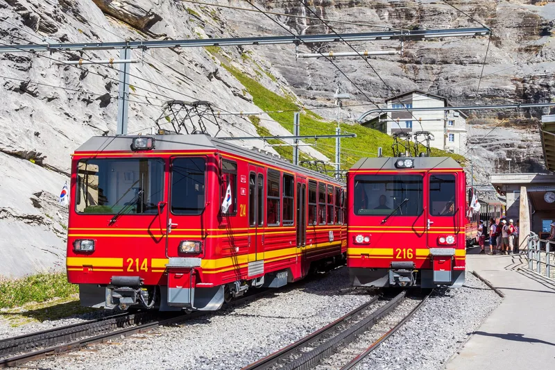
Jungfrau Railway trains at Eigergletscher station
An Alpine chough on the Rotstock
Firm sedge (Carex firma) near Eigergletscher
The Eiger Glacier's lateral moraine
Grindelwald and the Wetterhorn, seen from below Kleine Scheidegg
The Lauberhorn and Kleine Scheidegg, seen from the train
The Tschuggen, seen from the Kleine Scheidegg train
The next few days
MeteoSwiss local forecast, updated every hour
Reading the MeteoSwiss forecast…
My day
Pick your day and start time: everything updates.
- Arrival at Grindelwald (Alpiglen)
- 10:25 1 h 55 of walking without breaks, starting at 08:30
The trail, kilometre by kilometre
Places are listed under the kilometre where you pass them. Drag along the profile: the marker moves on the 3D view too.
- under 10 %
- 10 to 20 %
- 20 to 30 %
- over 30 %
- fountain or water point
- toilets
Around the trail (250 m, OpenStreetMap, extract of 25/10/2026): 2 restaurants, 2 cafés, 1 fountain or water point, 2 toilets. Estimated time: the official walking time spread by effort (1 km on the flat counts as 100 m of climbing), start time set in “My day”.
Getting there and back
Back by public transport from the Alpiglen stop
Next departures from AlpiglenReading the official timetable…
By car
Careful, this is one way: public transport back arrives in Alpiglen, not in Grindelwald (Eigergletscher). Plan to get back to your car by public transport, or park at the finish and take the train to the start.
Public car parks within 600 m of the start, according to OpenStreetMap: prices and number of spaces may have changed, check the signs on site.
Questions people ask
How long is the hike from Grindelwald (Eigergletscher) to the finish (Grindelwald (Alpiglen))?
1 h 55 of walking according to SwitzerlandMobility, in this direction, not counting breaks. The other way: 2 h 45.
Is it hard?
SwitzerlandMobility rates this stage: fitness medium, technique medium. It is 820 m of descent over 6.0 km.
Can I get back by public transport?
Yes. The Alpiglen stop is at the finish. The next departures show live under “Getting there and back”.
Where can I eat on the way?
4 restaurants, cafés and huts within 250 m of the trail, including Skibar Schreinerei, Bistro Eigergletscher, Restaurant Eigergletscher. Where they are and their opening hours: below the profile.
Is there water and are there toilets on the way?
1 fountain or water point and 2 toilets within 250 m of the trail (survey of 25/10/2026).
Can I download the track?
Yes, as a GPX file for your watch or map app: “Download the track” button at the top of the page.
More hikes within 10 km
Official SwitzerlandMobility stages that pass within 10 km of this trail. Each card says whether its page is already up.
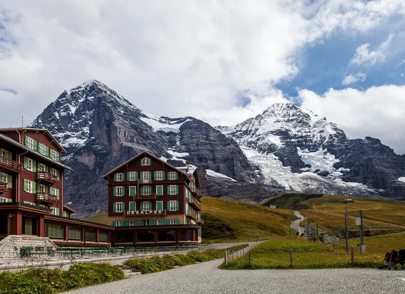 Wengen (Allmend) → Kleine Scheidegg2 h 50Lauberhorn Trail6.0kmDistance820mAscent260mDescentTechnical mediumFitness medium. See the hike
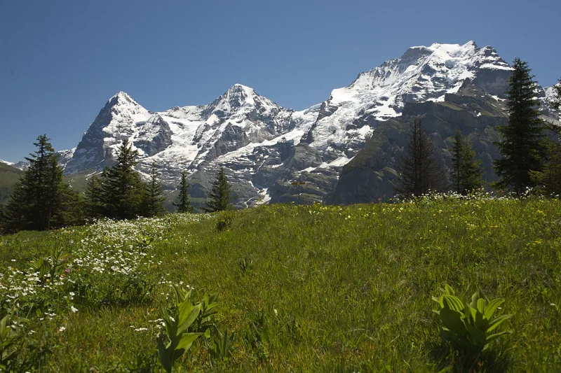 Lauterbrunnen (Grütschalp) → Mürren (Allmendhubel)2 h 00Mountain View Trail5.0kmDistance520mAscent110mDescentTechnical mediumFitness medium. See the hike
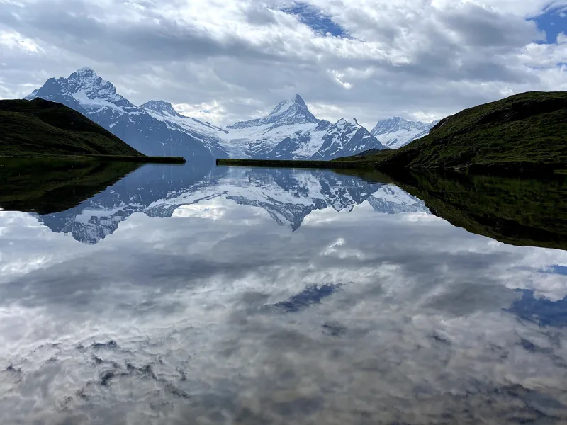 Schynige Platte → Grindelwald, First5 h 45ViaBerna, stage 1517.0kmDistance1,100mAscent900mDescentTechnical mediumFitness difficult. See the hike
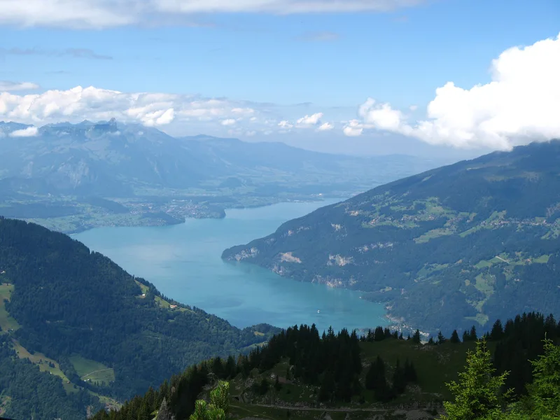 Schynige Platte, loop1 h 55Panoramaweg Schynige Platte6.0kmDistance340mAscent340mDescentTechnical mediumFitness easy. See the hike
- Grindelwald → Lauterbrunnen6 h 40Via Alpina, stage 1120.0kmDistance1,150mAscent1,400mDescentTechnical easyFitness difficult. Page coming
- Meiringen → Grindelwald8 h 00Via Alpina, stage 1023.0kmDistance1,550mAscent1,100mDescentTechnical mediumFitness difficult. Page coming