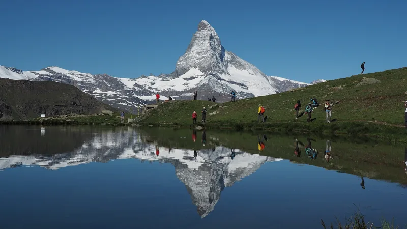
1Stellisee
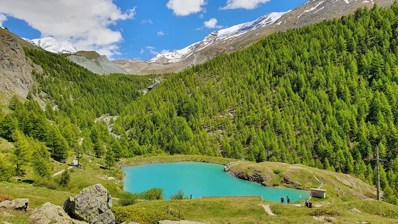
The Matterhorn is reflected in it, a 20-minute walk from the Blauherd gondola.
Getting there on foot
5-Seenweg Zermatt3 h 15From Zermatt, Blauherd to Zermatt, Sunnegga
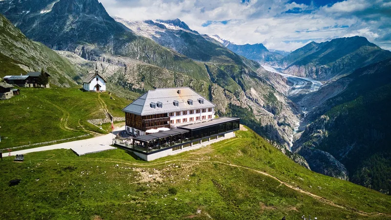

Bivio / Valais
What to see, what flowers up high, what to eat, and 11 hikes to get there on foot, from 2 h 20 to 5 h 25 of walking.
The spots not to miss, and the hike that takes you there.
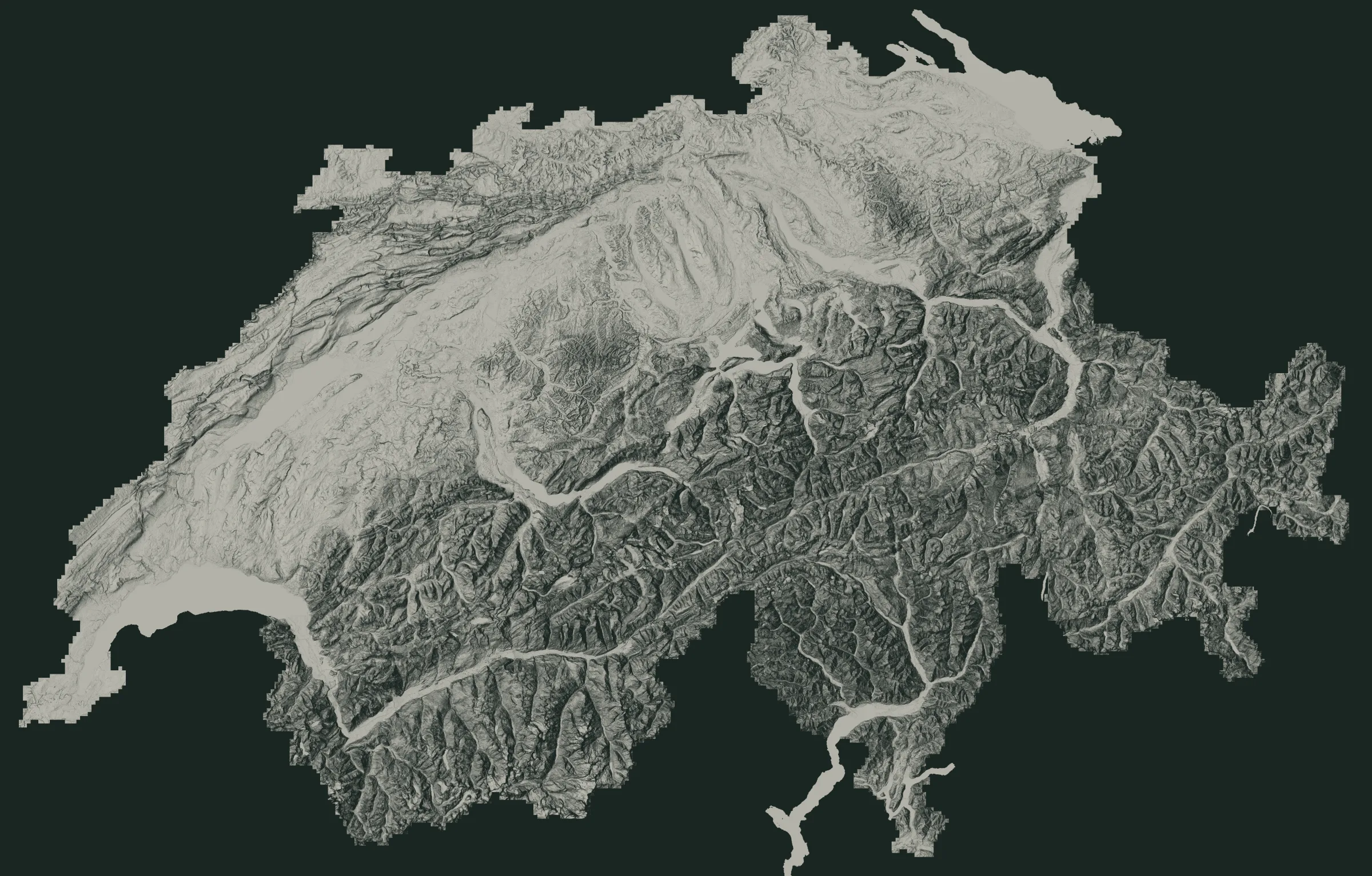 The MatterhornGrande Dixence DamPfyn Forest (Bois de Finges)Trient Gorge1Stellisee2Charles Kuonen Suspension Bridge3Aletsch Forest and Villa Cassel4Moiry Dam5Grand Bisse d'Ayent at Torrent-Croix6Lac de Champex7Emosson Dam
The numbers are the places just below. The white dots are where the hikes start.
The Matterhorn is reflected in it, a 20-minute walk from the Blauherd gondola.
Getting there on foot
5-Seenweg Zermatt3 h 15From Zermatt, Blauherd to Zermatt, Sunnegga
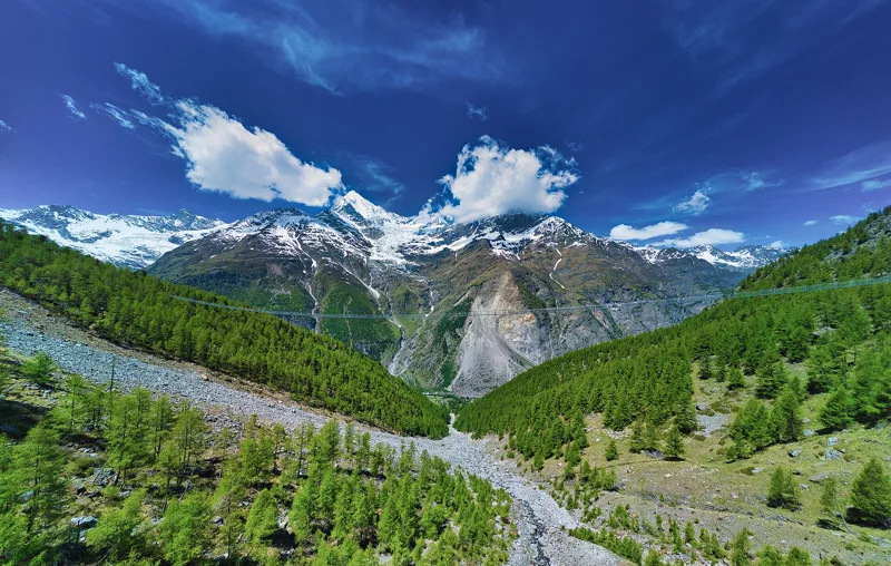
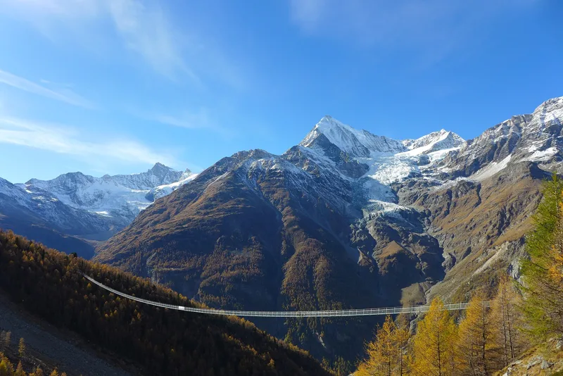
494 m long, 65 cm wide, and up to 85 m of empty air under your feet, above the Grabengufer.
Getting there on foot
Randa Hängebrückenweg3 h 10Loop from Randa
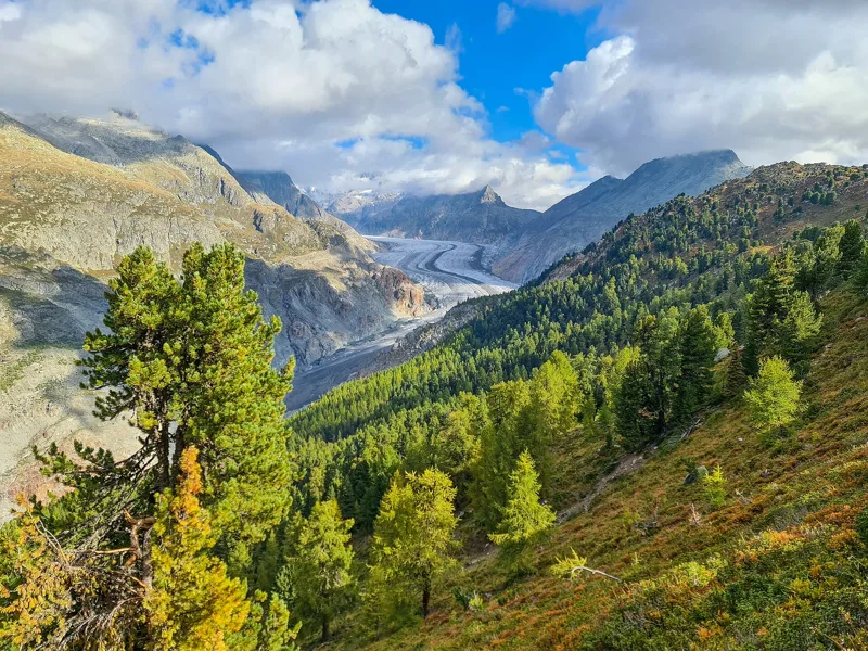
More than 400 hectares of Swiss stone pines and larches, left to themselves since 1933. The Pro Natura centre welcomes you in the Villa Cassel, just above the Riederfurka.
Getting there on foot
Blatten, Belalp → Riederalp, Riederfurka3 h 45From Blatten, Belalp to Riederalp, Riederfurka
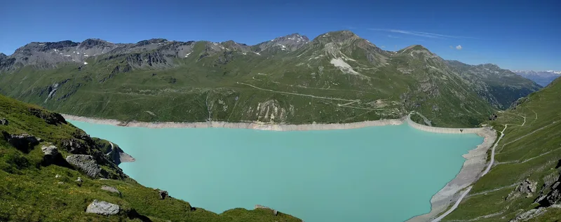
A wall 148 m high, finished in 1958, with 77 million m³ of water behind it.
Getting there on foot
Tour du Lac de Moiry4 h 45Loop from Moiry, Barrage
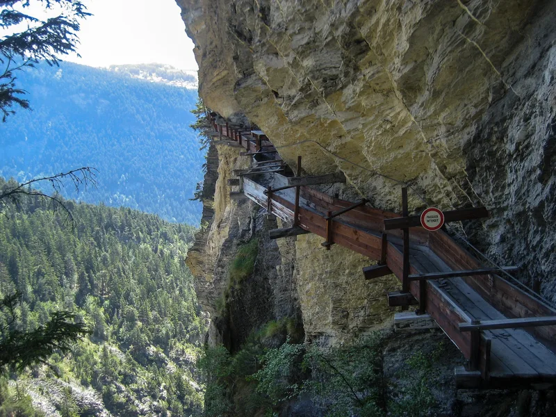
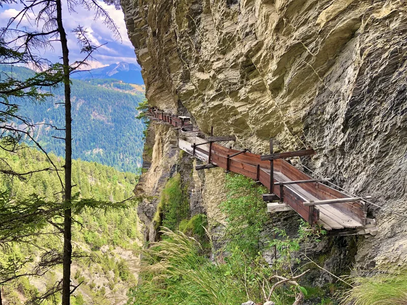
The bisse runs along the Torrent-Croix cliff on rebuilt wooden walkways, with a handrail. Only for people with no fear of heights.
Getting there on foot
Grand Bisse d'Ayent3 h 10From Tseuzier, Barrage to Arbaz, Etang-Long
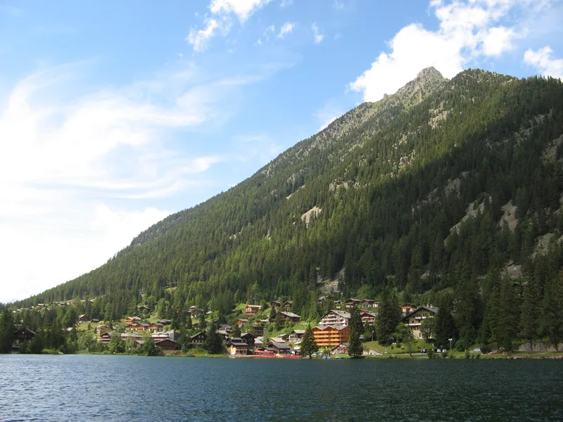
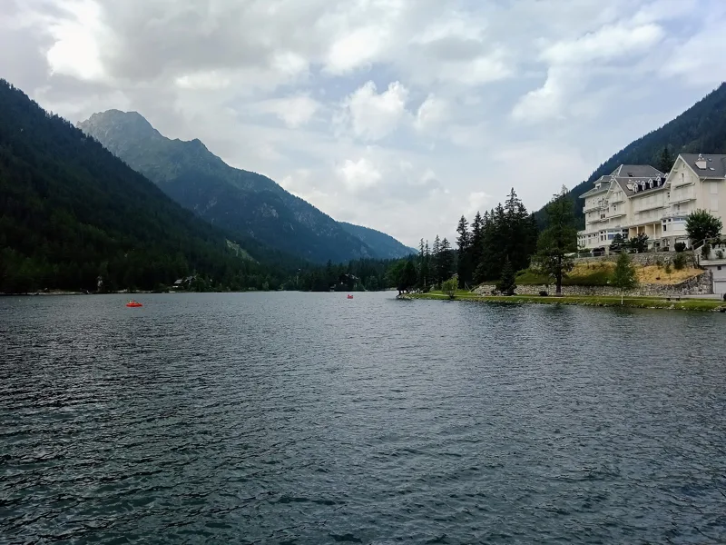
Rowing boats, pedal boats, an alpine garden and an artillery fort by the water. In summer, the village of Champex-Lac is a stage on the Tour du Mont-Blanc.
Getting there on foot
La Fouly → Champex-Lac4 h 30From La Fouly to Champex-Lac
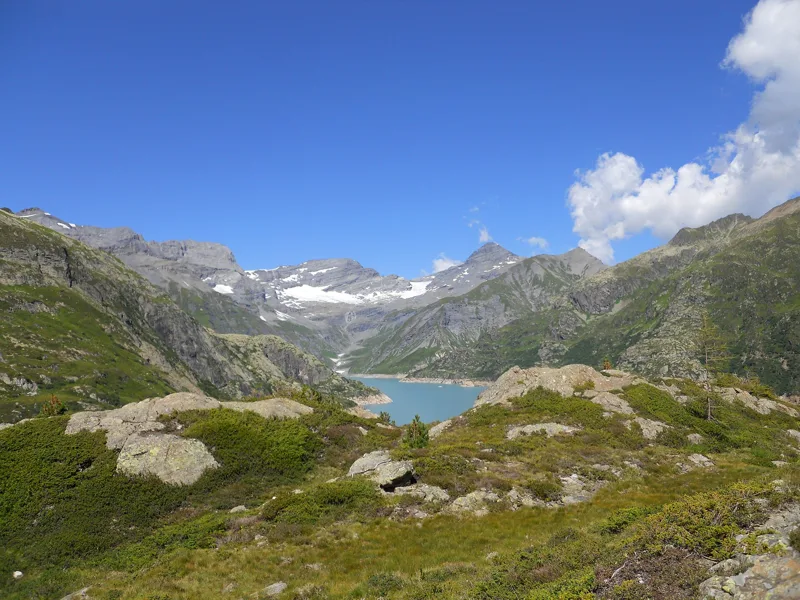
Building it flooded the old Barberine dam, from 1920, and moved the border with France. Behind the wall: 225 million m³ of water.
Getting there on foot
Sentier du Balcon du Mont-Blanc3 h 15From Finhaut to Emosson, Barrage
First climbed on 14 July 1865 by Edward Whymper's rope team; four of the seven climbers died on the way down.
It shows up in the panorama of 4 of our hikes, including the five lakes of Zermatt.
A wall 285 m high. Valais/Wallis Promotion calls it the "highest gravity dam in the world". Tours from early June to late October.
Our nearest hike, the Lac de Moiry loop, is 12.7 km away.
A pine forest and a floodplain, protected since 1997. The Pfyn-Finges park counts it among "the largest pine forests in the Alps".
Our nearest hike is 5.7 km away.
From the bottom of the gorge, you see the Gueuroz bridge 200 m above you. Open from May to October.
Our nearest hike is 4.9 km away.
Ranked from the walks told on this site.
Rating = average of the diamonds given by hikers, from 1 to 5. A hike joins the ranking once it has 5 reviews, each checked before it goes online.
When things flower, when the animals show up: the mountains, month by month.
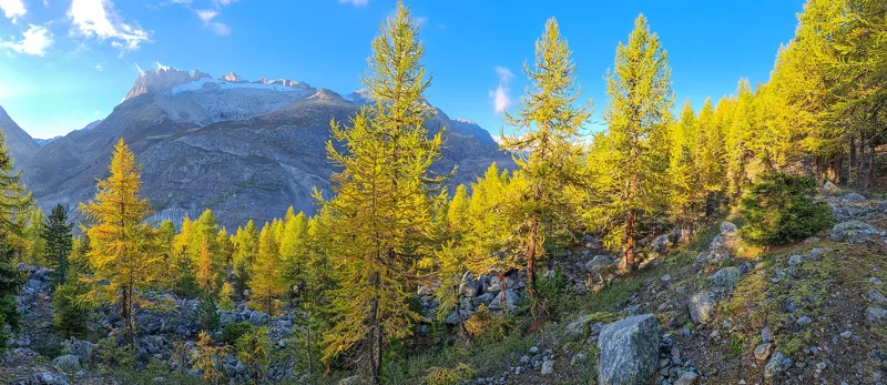
In autumn, the larch forests turn golden yellow. Around Randa, they cover the scree cones.
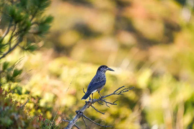
The stone pines of the Aletsch Forest? The nutcracker plants them: it hides their seeds in the ground.
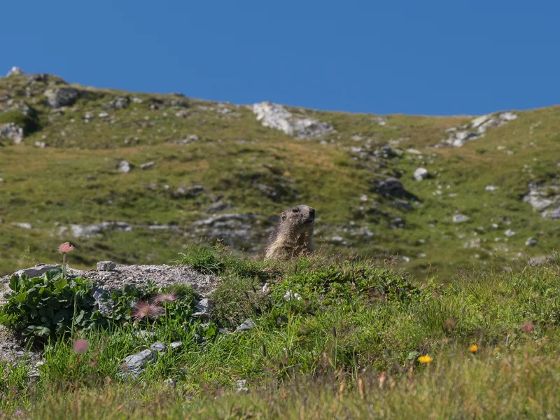
There are lots of them on the rocky slopes of the Panorama 4000, and they disappear in late September to hibernate.
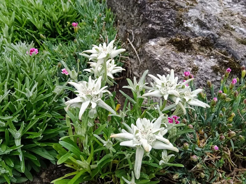
It flowers from July to September on stony grassland. The one in the photo grows at Champex-Lac.
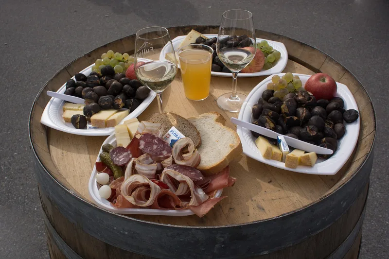
Local produce, the ones with an official designation.
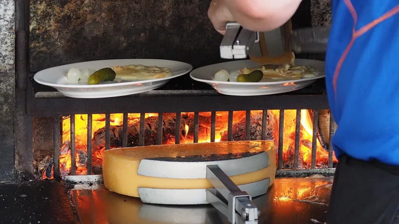
Raw-milk raclette cheese, made and matured in Valais for at least three months.
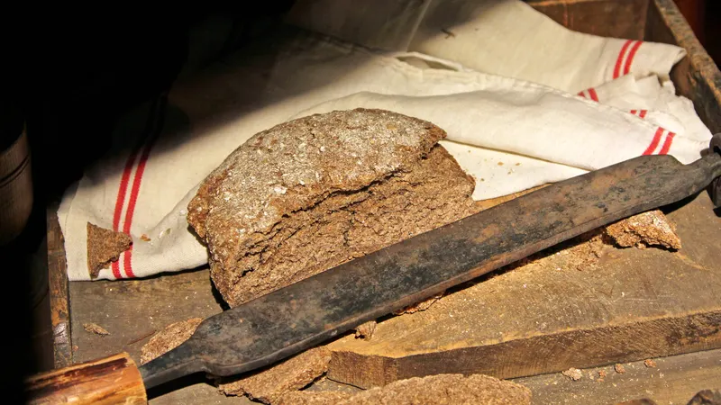
At least 90% Valais rye. In Findeln as in Orsières, people used to sow rye.
The brandy of Valais apricots, almost all of the Luizet variety.
The brandy of the Valais Williams pear.
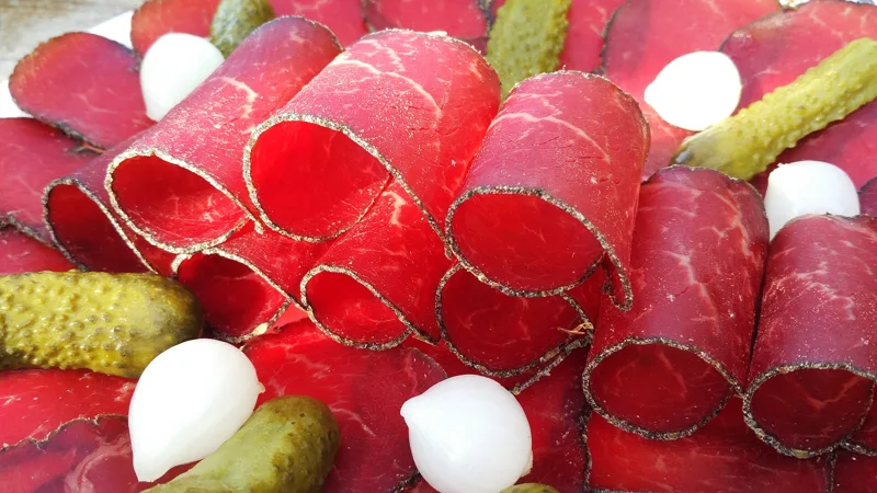
Beef, salted then air-dried, never smoked, and eaten raw.
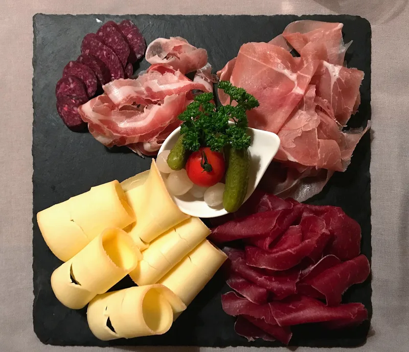
Swiss pork ham, salted and dried, boneless.
Swiss pork belly, salted and dried for at least four weeks.
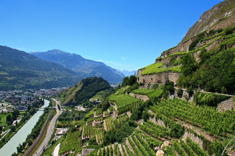
4,564 ha of vineyards. The Tsittoret and Ayent bisses still water vineyards further down.
Two hikes close together, the train or bus in between, and a good reason to do both.
Train, funicular and gondola from Randa to Blauherd: about 45 min. Check the timetable on the day.
Same valley, two giants: the Weisshorn above the bridge, the Matterhorn in the lakes.
Bus from Grimentz to the Moiry dam: about 20 min, summer service: in 2026, daily from 27 June to 11 October, weekends only before and after. Check the timetable on the day.
Two faces of the Val d'Anniviers: the old villages along the bisses, then the dam and its lake.
Bus from Aminona to the Tseuzier dam: about 1 h 30. The Tseuzier shuttle runs from 20 June to 1 November 2026: Wednesday to Sunday until 23 August, then on Wednesdays, Saturdays and Sundays. Check the timetable on the day.
Two 15th-century bisses, whose starting points are less than 4 km apart.
The lifts and summer buses that take you to the start, with their dates.
At altitude, there can be snow even in summer, and in late autumn some bridges or cables are taken down. For the Randa bridge, check the municipality's page first. Randa council information
What happened where you're about to walk.
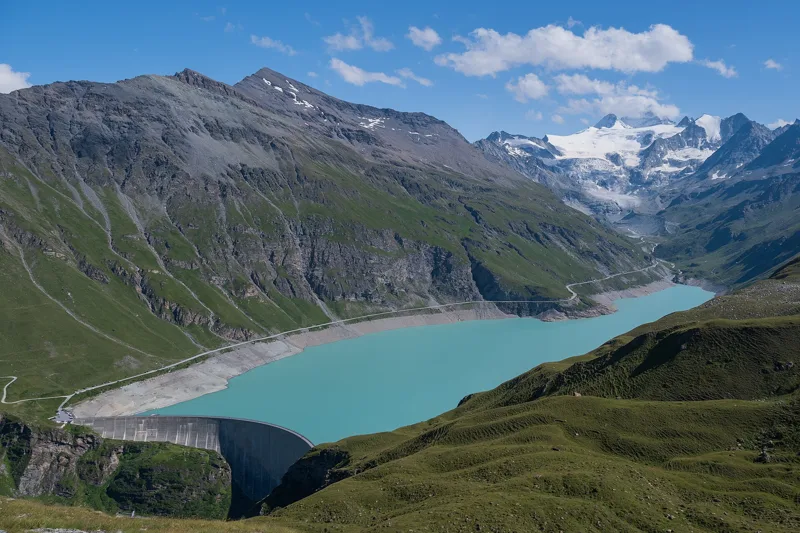
Four years of building work, from 1954 to 1958, for a 148 m wall. With it, Grimentz turns to industry, then to tourism. And it could still grow by nine metres.
Tour du Lac de Moiry4 h 45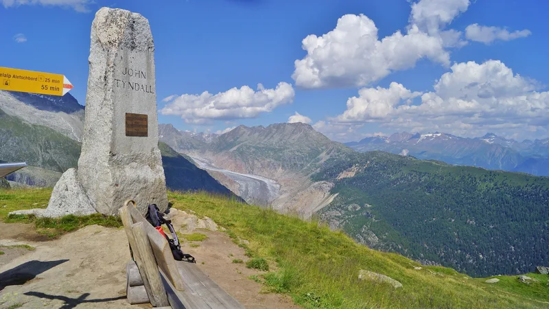
From 1877 to 1893, the Irish physicist John Tyndall spends his summers at Belalp, in a villa he had built there. He studies how glaciers flow, and he had made the first ascent of the Weisshorn in 1861.
Blatten, Belalp → Riederalp, Riederfurka3 h 45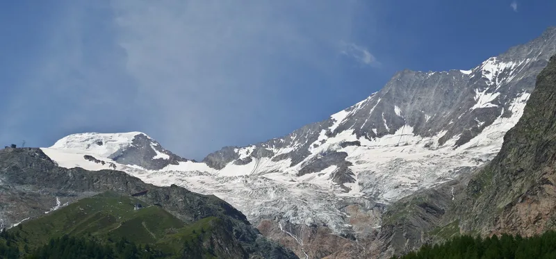
In 1885, a café opens at the edge of the Fee glacier, its materials carried up on the back of the village's only mule. Clara goes up every summer, and her brother Cäsar digs a new ice cave every year.
Gemsweg Saas-Fee2 h 20From shortest to longest.
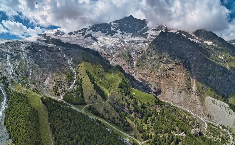
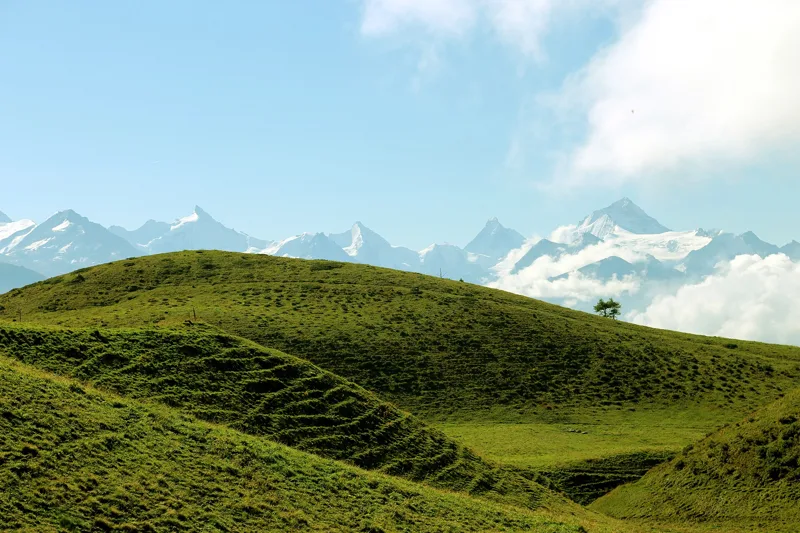
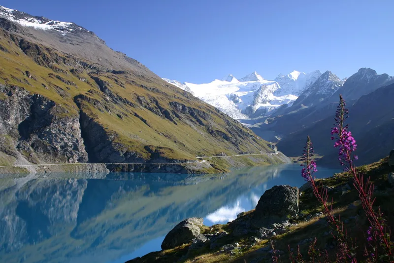
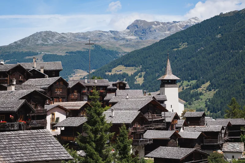
11 hikes, from 2 h 20 to 5 h 25 of walking according to SwitzerlandMobility: Gemsweg Saas-Fee, Grand Bisse d'Ayent, Randa Hängebrückenweg, 5-Seenweg Zermatt, Sentier du Balcon du Mont-Blanc, Blatten, Belalp → Riederalp, Riederfurka, Gampel → Ausserberg, La Fouly → Champex-Lac, Sentier Panorama 4000, Tour du Lac de Moiry and Vercorin → Grimentz.
Gemsweg Saas-Fee: 2 h 20 of walking according to SwitzerlandMobility, 7.9 km, 190 m of climbing.
Vercorin → Grimentz: 5 h 25 of walking according to SwitzerlandMobility, 16.8 km, 900 m of climbing.
SwitzerlandMobility rates these stages as technically easy: Gampel → Ausserberg, La Fouly → Champex-Lac, Sentier du Balcon du Mont-Blanc and Vercorin → Grimentz.
10 of the 11 hikes end at a public transport stop; each page shows the next departures from the finish.
Bob relies on the site's data (SwitzerlandMobility, MeteoSwiss, official timetable) and can be wrong. On the ground, the signposts come first. Emergency: 1414 (Rega) or 112.