
Finishing the Chemin des Bisses in Grimentz
This is the seventh and final stage of the Chemin des Bisses, SwitzerlandMobility's regional route no. 58, which starts in Martigny (Col des Planches). You leave Vercorin and walk from village to village through the Val d'Anniviers to old Grimentz. SwitzerlandMobility rates it easy for technique but difficult for fitness.
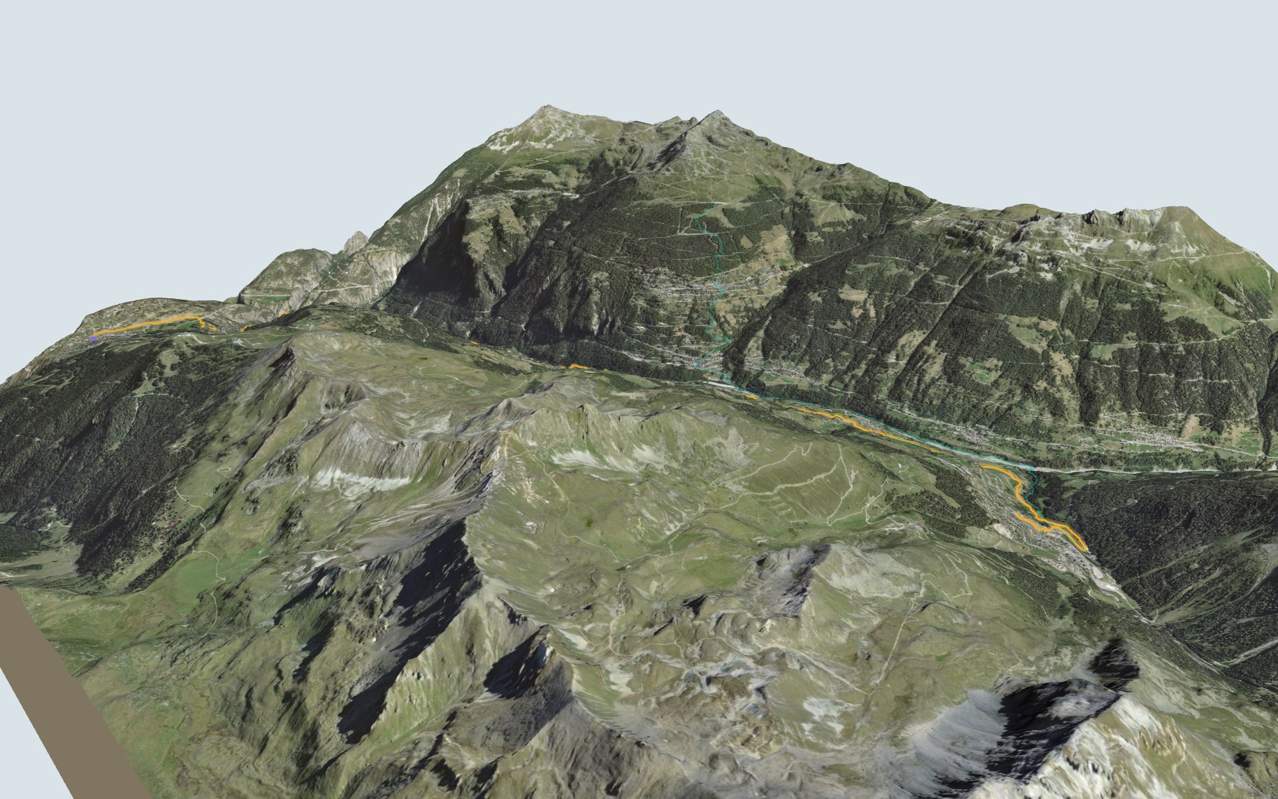
The path first drops through the Vallon de Crouje, runs almost flat for a long stretch, climbs to Pinsec, dips down to the Cretta stream, then heads up through Vissoie, Mayoux and St-Jean. The last part follows the Grand Bisse de St-Jean to Grimentz. The elevation profile shows you all these ups and downs.
Rather start higher up? The Tignousa start is mostly downhill: it has its own colour in the 3D view and an estimated time under all starting points. Close by, in the Val de Moiry, the Tour du Lac de Moiry starts from the dam. And for another bisse, there's the Grand Bisse d'Ayent.
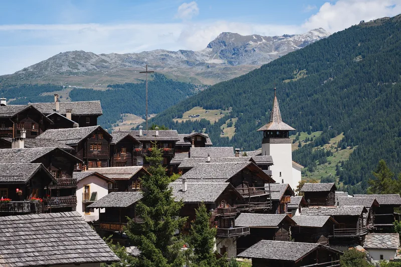
At the finish: the old village of Grimentz, its traditional Anniviers architecture and several places to eat. Check the next departures from Grimentz, Carovilla and plan your day before you set off. Looking for more in the area? See all hikes in Valais.
The story of the trail
What happened where you are going to walk, chapter by chapter.
The last stage of the Chemin des Bisses
You start at 1,321 m in Vercorin and finish at 1,563 m in Grimentz. In between: 16.8 km, plus 900 m of climbing and 660 m of descent according to SwitzerlandMobility. SwitzerlandMobility gives 5 h 25 of walking time in this direction, and 5 h 10 the other way.
The profile comes in waves: a descent through the Vallon de Crouje, a long almost flat stretch, a climb to the village of Pinsec, a dip at the Cretta stream, then the climb back up through Vissoie, Mayoux and St-Jean. In Vercorin, you'll find several places to eat right at the start, including the Hôtel des Mayens. After that, the next place to eat is La Gougra, a little off the path, about three quarters of the way along, so bring enough to drink and eat. On the way, follow the signposts and check the conditions on the day.
Vissoie, the old heart of the valley
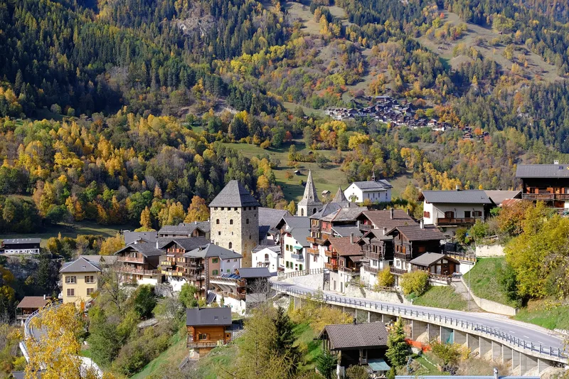
In the early 13th century, Vissoie was the seat of the vidomnat of Anniviers, held as a fief from the Bishop of Sion by the noble family of that name. In 1235 the bishop had a new oval town built there, enclosed by walls formed by the houses themselves. In the middle stood a stone tower, the Cour neuve, and a wooden tower, the Ballios, where popular assemblies and court sessions were held; the Ballios burned down in 1880.
Even before the 13th century, Vissoie was also the religious centre of the whole valley: its parish is mentioned in 1231. Today's Church of Saint Euphemia dates from 1808-1809, but its tower is older. The village was only linked to the Rhône valley by a carriage road in 1863. Since 2009, Vissoie, St-Jean, Grimentz, Ayer, Chandolin and Saint-Luc have formed the municipality of Anniviers.
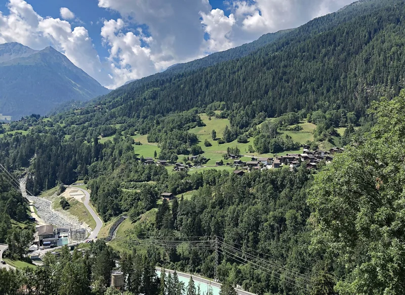
Water from the bisses
Bisses are the irrigation channels of Valais. They are mentioned as early as the 11th century; in 1900 there were 206 of them. Some drew water from glaciers, and they were mainly used to water meadows and vineyards.
Between Mayoux and Grimentz, the path runs alongside the Grand Bisse de St-Jean. The bisse takes its water from the Marais stream, crosses St-Jean d'en Haut and ends at Mayoux. Long abandoned, it was restored in 2012 using traditional techniques: for most of its length it is dug straight into the earth and reinforced with paving slabs or large stones, and its sprinkler water intakes have wooden distributors. The municipality of Anniviers restored the Grand Bisse de St-Luc, the Bisse Roux and the Grand Bisse de St-Jean to irrigate hay meadows better and cope better with droughts; on the Anniviers bisses trail, 18 illustrated panels explain them along these three bisses.
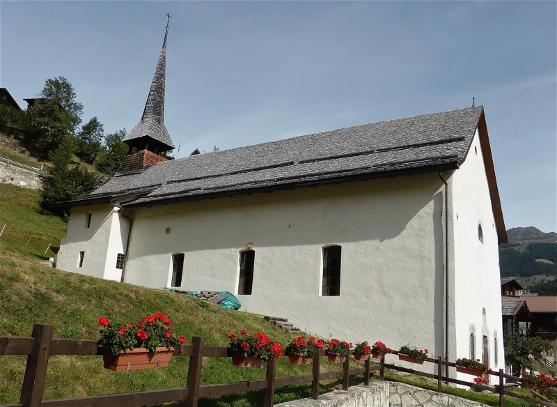
Churches, chapels and vineyards down in the plain
At the start, the old Church of Saint Boniface in Vercorin is a listed historic monument: a Romanesque bell tower and a Gothic choir decorated with frescoes by Hans Rinischer in 1520. Further on, Pinsec has its Chapel of Saint Symphorian, from 1715. St-Jean has two, Saint John the Baptist (1661) and the Rosary (1755), and Mayoux one, from 1759. The village of St-Jean has always belonged to the parish of Vissoie.
In the mid-20th century, people from the former municipality of St-Jean still went down to the plain, between Noës and Sierre, to work their vineyards. In Grimentz, mountain farming relied on the Hérens cattle breed until the early 20th century, on the Avoin, Moiry and Torrent alpine pastures.
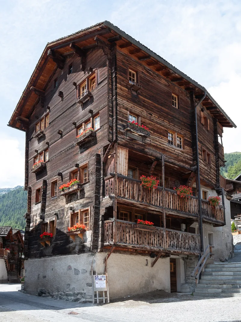
Grimentz, the valley's first municipality
In 1243, Grimentz became the first village in the valley to set itself up as a municipality; its burghers' house dates from 1550. The village has kept its typical Anniviers architecture, which made its name. South-west of the village lies a remarkable group of carved rocks and cup-marked stones.
With the building of the Moiry dam, then the rise of tourism from the 1960s and 1970s, the village turned to industry and tourism for its living. For food, you'll find several places shortly before the finish, including the Alpina. Further down this page: the next departures from Grimentz, Carovilla.
Every way up to the top
2 starting points to reach Grimentz. Pick yours: the 3D view shows it and “My day” recalculates.
Walking times without breaks. “Estimated” times are calculated on the swisstopo profile with a model fitted to the official SwitzerlandMobility stages; the shortest path may differ from the one on the yellow signposts: on the ground, follow the signs. Gradient: the steepest over 200 m of trail. Profiles share the same scale (length and altitude). Stations and car parks within 500 m of the start, according to OpenStreetMap.
In pictures
The old village of Grimentz, in the Val d'Anniviers.
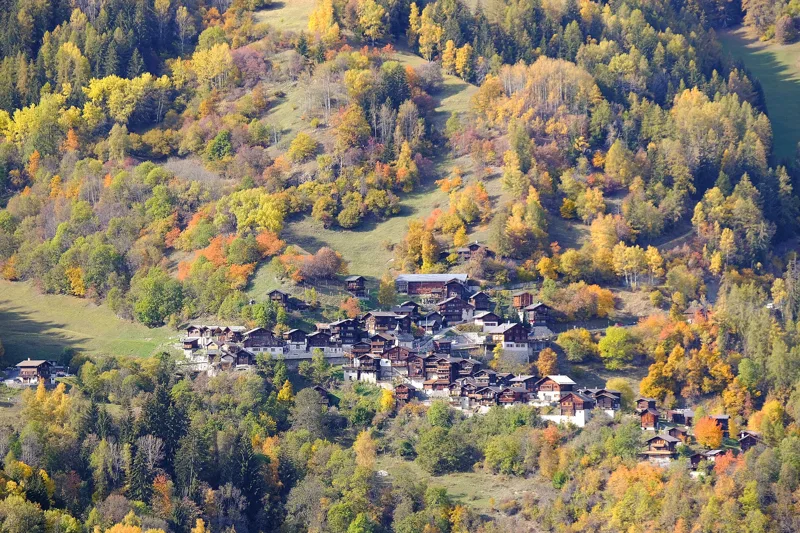
The village of Pinsec seen from Vissoie.
The chapel of Pinsec, a cultural property of regional significance.
The village of Vissoie.
The St-Jean road bridge over the Navizence, at the village of Mayoux.
The Chapel of Saint John the Baptist in Saint-Jean, Anniviers, a cultural property of regional significance.
An Hérens cow in Saint-Jean.
The village of Mission seen from the road to Grimentz.
Building at 56 Rue du Village, in the old village of Grimentz.
The cellars of Grimentz, a cultural property of regional significance.
The next few days
MeteoSwiss local forecast, updated every hour
Reading the MeteoSwiss forecast…
My day
Pick your day and start time: everything updates.
- Arrival at Grimentz
- 13:55 5 h 25 of walking without breaks, starting at 08:30
The trail, kilometre by kilometre
Places are listed under the kilometre where you pass them. Drag along the profile: the marker moves on the 3D view too.
- under 10 %
- 10 to 20 %
- 20 to 30 %
- over 30 %
- fountain or water point
- toilets
Around the trail (250 m, OpenStreetMap, extract of 25/10/2026): 17 restaurants, 0 cafés, 23 fountains and water points, 4 toilets. Estimated time: the official walking time spread by effort (1 km on the flat counts as 100 m of climbing), start time set in “My day”.
Getting there and back
Back by public transport from the Grimentz, Carovilla stop
Next departures from Grimentz, CarovillaReading the official timetable…
By car
Careful, this is one way: public transport back arrives in Grimentz, Carovilla, not in Vercorin. Plan to get back to your car by public transport, or park at the finish and take the train to the start.
- Car park open-air, Route du Téléphériquepaid70 m from the start
- Car park open-air, Route du Bissefree190 m from the start
- Car park open-air, Route de Chalaispaid200 m from the start
- Car park, Impasse d'Orzival150 m from the start
Public car parks within 600 m of the start, according to OpenStreetMap: prices and number of spaces may have changed, check the signs on site.
Questions people ask
How long is the hike from Vercorin to the finish (Grimentz)?
5 h 25 of walking according to SwitzerlandMobility, in this direction, not counting breaks. The other way: 5 h 10.
Is it hard?
SwitzerlandMobility rates this stage: fitness difficult, technique easy. It is 900 m of climbing over 16.8 km.
Can I get back by public transport?
Yes. The Grimentz, Carovilla stop is at the finish. The next departures show live under “Getting there and back”.
Where can I eat on the way?
17 restaurants, cafés and huts within 250 m of the trail, including Buvette du Lavioz, Le Téléphérique, Hôtel des Mayens. Where they are and their opening hours: below the profile.
Is there water and are there toilets on the way?
23 fountains and water points and 4 toilets within 250 m of the trail (survey of 25/10/2026).
Can I download the track?
Yes, as a GPX file for your watch or map app: “Download the track” button at the top of the page.
More hikes within 10 km
Official SwitzerlandMobility stages that pass within 10 km of this trail. Each card says whether its page is already up.
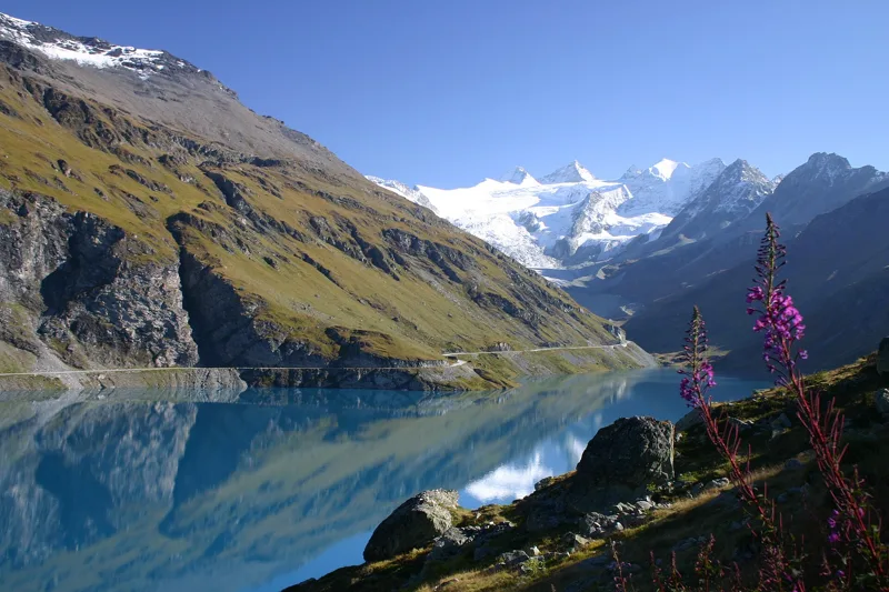 Moiry, Barrage, loop4 h 45Tour du Lac de Moiry14.0kmDistance840mAscent840mDescentTechnical mediumFitness medium. See the hike
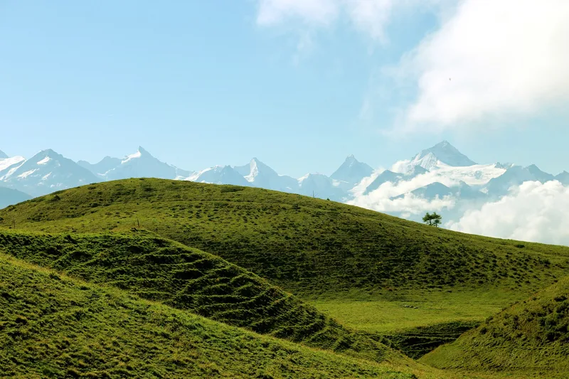 Crans-Montana, Cry-d'Er → Crans-Montana, Aminona4 h 30Sentier Panorama 400014.0kmDistance540mAscent1,300mDescentTechnical mediumFitness difficult. See the hike
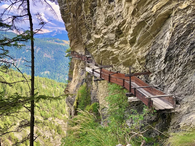 Tseuzier, Barrage → Arbaz, Etang-Long3 h 10Grand Bisse d'Ayent12.0kmDistance150mAscent620mDescentTechnical mediumFitness medium. See the hike
- Nax → Vercorin5 h 10Chemin des Bisses, stage 617.0kmDistance760mAscent700mDescentTechnical easyFitness difficult. Page coming
- Hotel Weisshorn → Grimentz4 h 00Alpenpässe-Weg, stage 2312.0kmDistance460mAscent1,200mDescentTechnical mediumFitness difficult. Page coming
- Grimentz → Cab. des Becs de Bosson4 h 40Alpenpässe-Weg, stage 2410.0kmDistance1,500mAscent90mDescentTechnical mediumFitness difficult. Page coming