
6 hikes
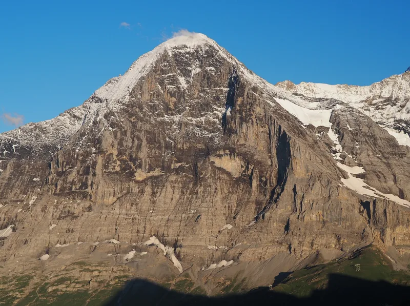
Grindelwald (Alpiglen)1 h 55Eiger Trail6.0kmDistance100mAscent820mDescentTechnical mediumAlong the foot of the Eiger North Face, from a glacier station down to the Alpiglen pasture, with the train to take you back.
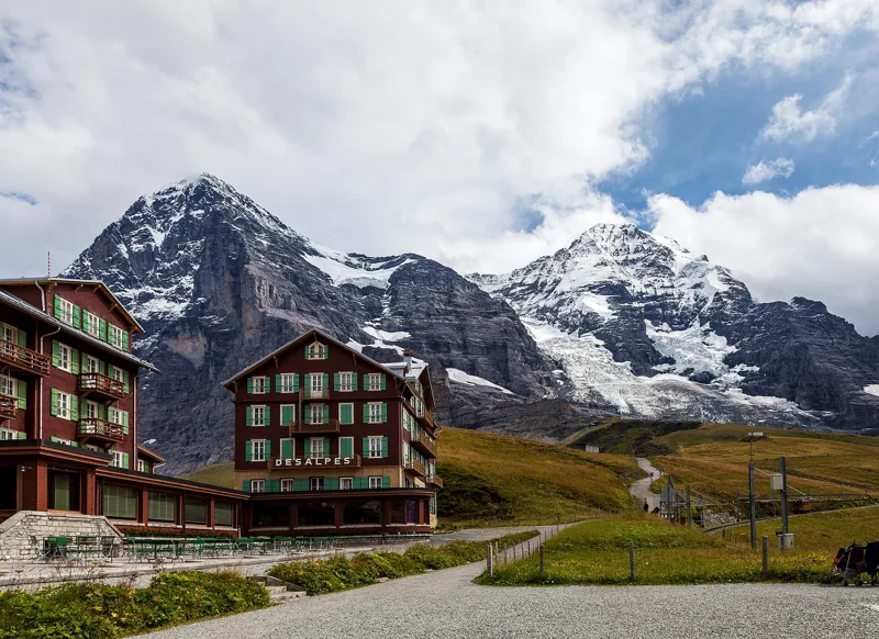
Kleine Scheidegg2 h 50Lauberhorn Trail6.3kmDistance820mAscent260mDescentTechnical mediumUp the Lauberhorn downhill course, from Wengen to the racers' start, with the Eiger, Mönch and Jungfrau in front of you, then Kleine Scheidegg and its train.
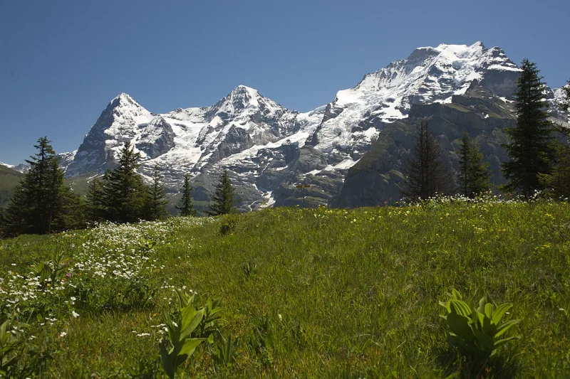
Mürren (Allmendhubel)2 h 00Mountain View Trail5.1kmDistance520mAscent110mDescentTechnical mediumHigh above the Lauterbrunnen valley, through meadows and forest, facing the Eiger, Mönch and Jungfrau, up to Mürren's own little mountain.
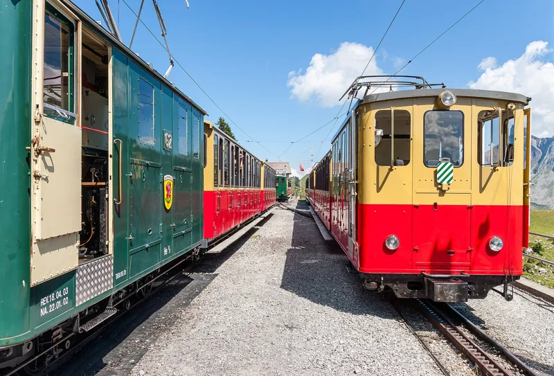
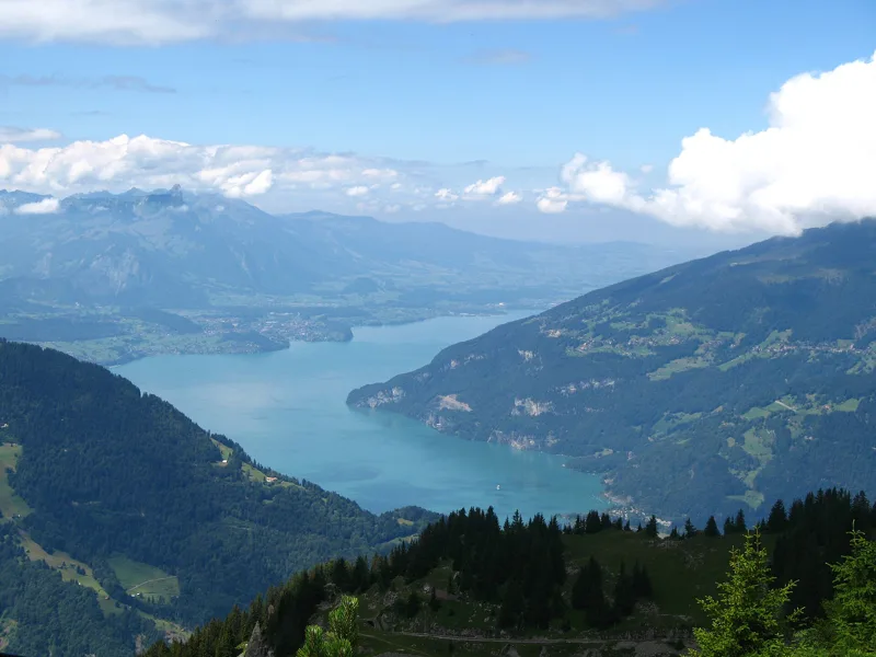
Loop from Schynige Platte1 h 55Panoramaweg Schynige Platte5.7kmDistance340mAscent340mDescentTechnical mediumA loop along the ridge, from the cog railway station to the Oberberghorn and the Daube viewpoint, with views of the lakes and of the Eiger, Mönch and Jungfrau.
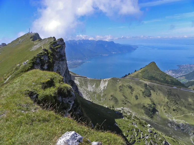
Rochers-de-Naye station5 h 35Rochers-de-Naye13.7kmDistance1,700mAscent90mDescentTechnical mediumFrom the shore of Lake Geneva or from higher up, all the way to the summit station, and the train to bring you back down.
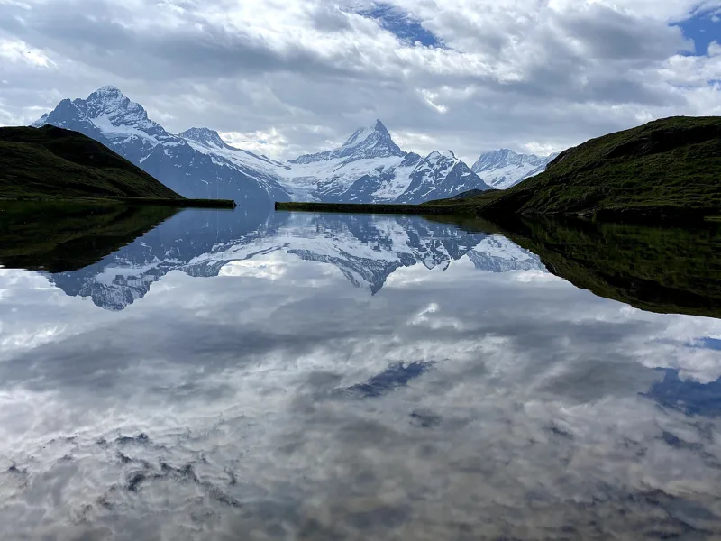
Grindelwald, First5 h 45Schynige Platte → Grindelwald, First16.8kmDistance1,100mAscent900mDescentTechnical mediumFrom the old cog railway at Schynige Platte to the First gondola, passing close to the Faulhorn and the Bachalpsee.
Questions people ask
How many hikes are in this selection?
6 hikes: Eiger Trail, Panoramaweg Schynige Platte, Mountain View Trail, Lauberhorn Trail, Rochers-de-Naye and Schynige Platte → Grindelwald, First.
Which is the shortest?
Eiger Trail: 1 h 55 of walking according to SwitzerlandMobility, 6.0 km, 100 m of climbing.
In which regions?
Bernese Oberland (5) and Vaud Alps (1).
