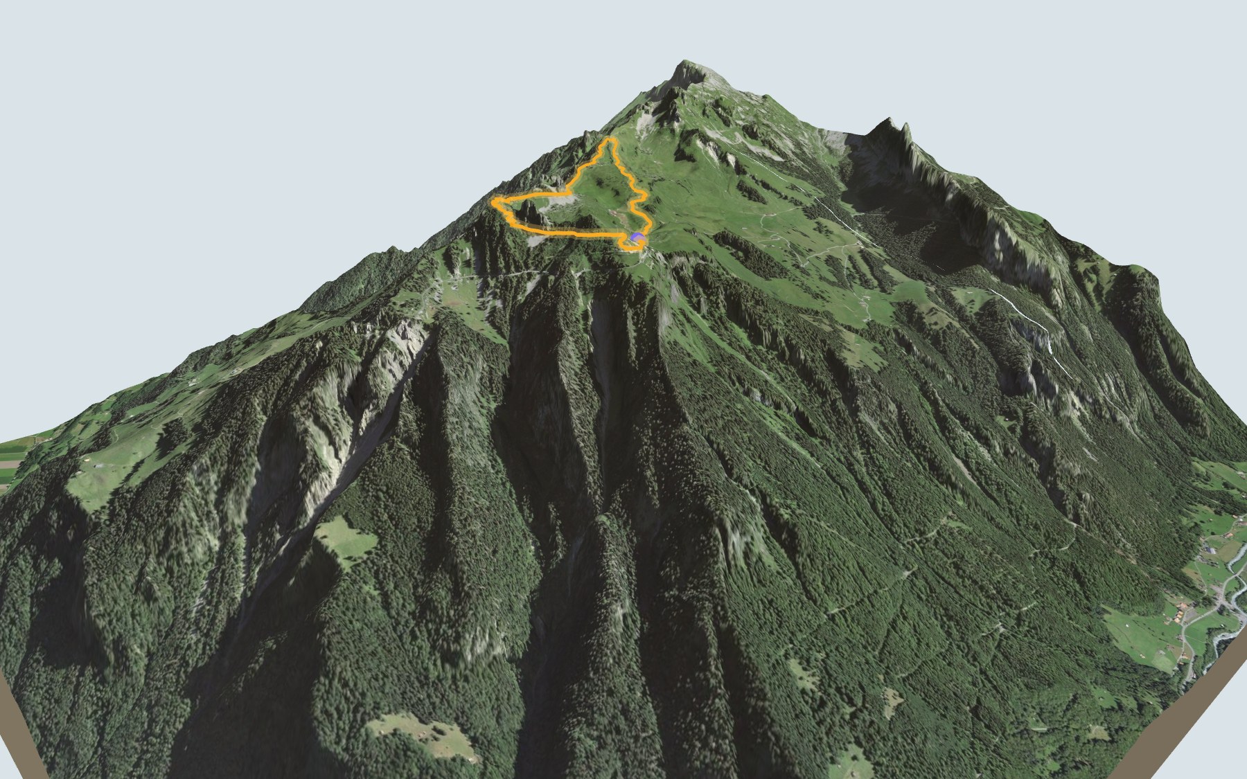

Walking around the Schynige Platte
A high-altitude loop: you start at Schynige Platte station, the top of the cog railway that climbs up from Wilderswil, and you finish there too. SwitzerlandMobility rates it easy for fitness and medium for technique. On the way, you look down to the lakes far below and across to the Eiger, Mönch and Jungfrau.
The path first runs past the alpine garden, goes through Oberberg and heads out to the Grätli. It then comes back through the Chratzerra and past the Oberberghorn, climbs to the Daube viewpoint, the highest point of the loop, and passes beside the Gumihorn before reaching the station again. The elevation profile shows you where it climbs and where it drops.
Fancy a full day on your feet? The same station is also the start of the Schynige Platte → Grindelwald, First traverse, a stage of the ViaBerna.
Back at the end, the Schynige Platte restaurant is just before the station, and the same train takes you down to Wilderswil. Check the next trains and plan your day before you set off. Looking for more in the area? See all hikes in the Bernese Oberland.
The story of the trail
What happened where you are going to walk, chapter by chapter.
A loop along the ridge
You start at Schynige Platte station, at 1,967 m, and you come back to it. In between: 5.7 km, plus 340 m of climbing and the same amount of descent according to SwitzerlandMobility. The highest point, 2,076 m, is at the Daube viewpoint, towards the end of the loop. SwitzerlandMobility gives 1 h 55 of walking time, in either direction.
You'll find toilets and a picnic area right at the start, then the Schynige Platte restaurant at the finish. Bring something to drink. On the way, follow the signposts and check the conditions on the day.
From Oberberg to the Grätli, then the Oberberghorn
The path runs past the alpine garden right from the start, goes through the place called Oberberg, then heads north-east. It passes close to Inner Iselten and the Louchera and reaches the Grätli. The Loucherhorn rises nearby. From there the path heads back almost the way it came.
On the way back it crosses the Chratzerra and passes beside the Oberberghorn. An equipped path goes round this peak.
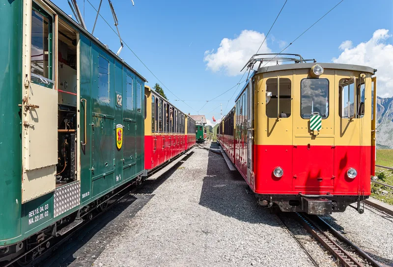
A cog railway from 1893
The idea of a railway up to the Schynige Platte came up in 1880. It took ten years for the project to take shape and for the Swiss Federal Assembly to grant the concession. Regular service began on 14 June 1893. Until the end of 1913 the trains ran on steam; from 1914, electric locomotives, state of the art at the time, took over.
Those locomotives, now more than a hundred years old, still handle all the traffic, and most of the infrastructure dates from the early days. As in the old days, the locomotive pushes the carriages because of the steep gradient. The train climbs from Wilderswil via the Breitlauenen pasture.
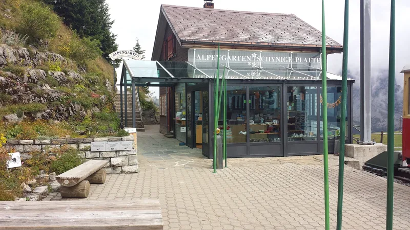
An alpine garden and Jurassic rock
Right next to the station, the Schynige Platte botanical alpine garden displays around 800 species of plants native to the Swiss Alps, growing in their natural communities. It lies at 1,967 m. The idea dates back to 1905; the garden society was founded on 10 June 1927, work began in 1928 and the garden opened in 1929. In winter it is left to the black grouse and mountain hares; check the garden's website for the reopening date.
Underfoot there are mainly two Jurassic formations: the Reischiben Formation, a sandy limestone that weathers grey, and the Schilt Formation, nodular limestone often spotted with yellow, with marl. Between the Oberberghorn and the Gumihorn, the path also crosses the Quinten Formation, a dark grey, almost black limestone.
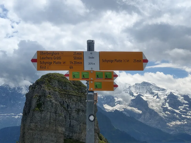
The Daube, the Gumihorn and the station
The last climb takes you to the Daube viewpoint, which the national map names Tuuba: at 2,076 m, it is the top of the loop. The path then passes beside the Gumihorn, comes close to the Stepfegg ridge and drops down to the Berghotel Schynige Platte.
The Schynige Platte restaurant is just before the station, where the loop closes. The cog railway takes you back down to Wilderswil; the rest of the page shows the next departures.
In pictures
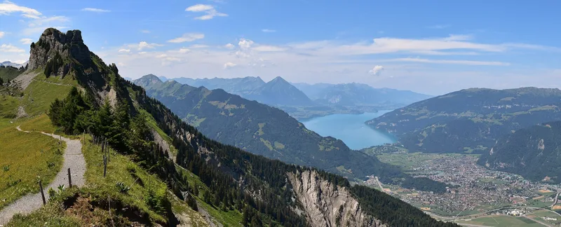
Panoramic view from the Schynige Platte Panoramic Trail with the Oberberghorn, Lake Thun and Interlaken
Mountain station with trains of the Schynige Platte Railway (2010)
The entrance to the Schynige Platte Alpine Garden, seen from the station platform
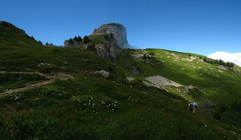
The Oberberghorn seen from the Schynige Platte
Swiss hiking network signpost at the Daube
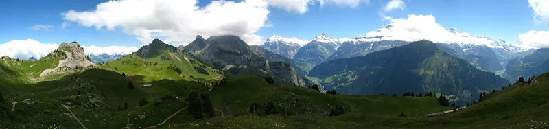
Oberberghorn, Laucherhorn, Faulhorn, Wetterhorn, Schreckhorn, Eiger, Mönch, Jungfrau and the Lauterbrunnen Valley seen from the Schynige Platte
Lake Thun seen from the Schynige Platte
Interlaken, Matten, Bönigen, Goldswil, Ringgenberg and the Abendberg seen from the Schynige Platte
Edelweiss (Leontopodium alpinum) on the Schynige Platte
Alpine skullcap (Scutellaria alpina) on the Schynige Platte
The next few days
MeteoSwiss local forecast, updated every hour
Reading the MeteoSwiss forecast…
My day
Pick your day and start time: everything updates.
- Arrival at Schynige Platte
- 10:25 1 h 55 of walking without breaks, starting at 08:30
The trail, kilometre by kilometre
Places are listed under the kilometre where you pass them. Drag along the profile: the marker moves on the 3D view too.
- under 10 %
- 10 to 20 %
- 20 to 30 %
- over 30 %
- fountain or water point
- toilets
Around the trail (250 m, OpenStreetMap, extract of 25/10/2026): 1 restaurant, 0 cafés, 0 fountains and water points, 2 toilets. Estimated time: the official walking time spread by effort (1 km on the flat counts as 100 m of climbing), start time set in “My day”.
Getting there and back
Back by public transport from the Schynige Platte stop
Next departures from Schynige PlatteReading the official timetable…
By car
Careful, this is one way: public transport back arrives in Schynige Platte, not in Schynige Platte. Plan to get back to your car by public transport, or park at the finish and take the train to the start.
Public car parks within 600 m of the start, according to OpenStreetMap: prices and number of spaces may have changed, check the signs on site.
Questions people ask
How long is the hike from Schynige Platte to the finish (Schynige Platte)?
1 h 55 of walking according to SwitzerlandMobility, in this direction, not counting breaks. The other way: 1 h 55.
Is it hard?
SwitzerlandMobility rates this stage: fitness easy, technique medium. It is 340 m of climbing over 5.7 km.
Can I get back by public transport?
Yes. The Schynige Platte stop is at the finish. The next departures show live under “Getting there and back”.
Where can I eat on the way?
1 restaurant, cafés and huts within 250 m of the trail, including Schynige Platte. Where they are and their opening hours: below the profile.
Is there water and are there toilets on the way?
0 fountains and water points and 2 toilets within 250 m of the trail (survey of 25/10/2026).
Can I download the track?
Yes, as a GPX file for your watch or map app: “Download the track” button at the top of the page.
More hikes within 10 km
Official SwitzerlandMobility stages that pass within 10 km of this trail. Each card says whether its page is already up.
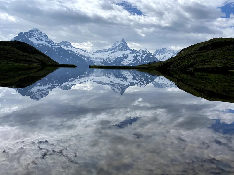 Schynige Platte → Grindelwald, First5 h 45ViaBerna, stage 1517.0kmDistance1,100mAscent900mDescentTechnical mediumFitness difficult. See the hike
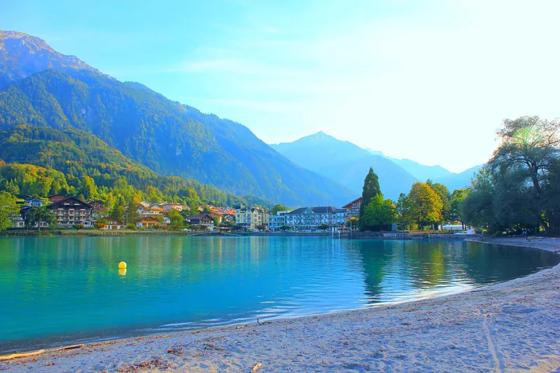 Iseltwald → Brienz3 h 25Brienzersee Drei Wasserfälleweg, stage 212.0kmDistance440mAscent440mDescentTechnical easyFitness medium. See the hike
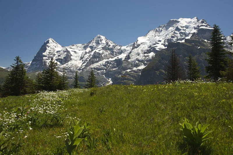 Lauterbrunnen (Grütschalp) → Mürren (Allmendhubel)2 h 00Mountain View Trail5.0kmDistance520mAscent110mDescentTechnical mediumFitness medium. See the hike
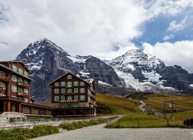 Wengen (Allmend) → Kleine Scheidegg2 h 50Lauberhorn Trail6.0kmDistance820mAscent260mDescentTechnical mediumFitness medium. See the hike
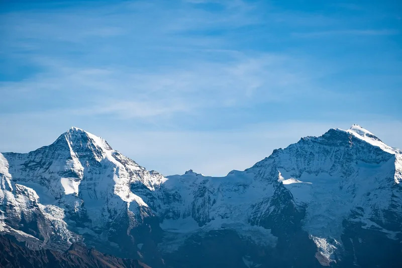 Niederhorn → Waldegg3 h 35Niederhorn-Panoramaweg11.0kmDistance400mAscent1,100mDescentTechnical mediumFitness difficult. See the hike
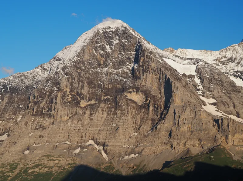 Grindelwald (Eigergletscher) → Grindelwald (Alpiglen)1 h 55Eiger Trail6.0kmDistance100mAscent820mDescentTechnical mediumFitness medium. See the hike