
Hiking up the Rochers-de-Naye from Montreux
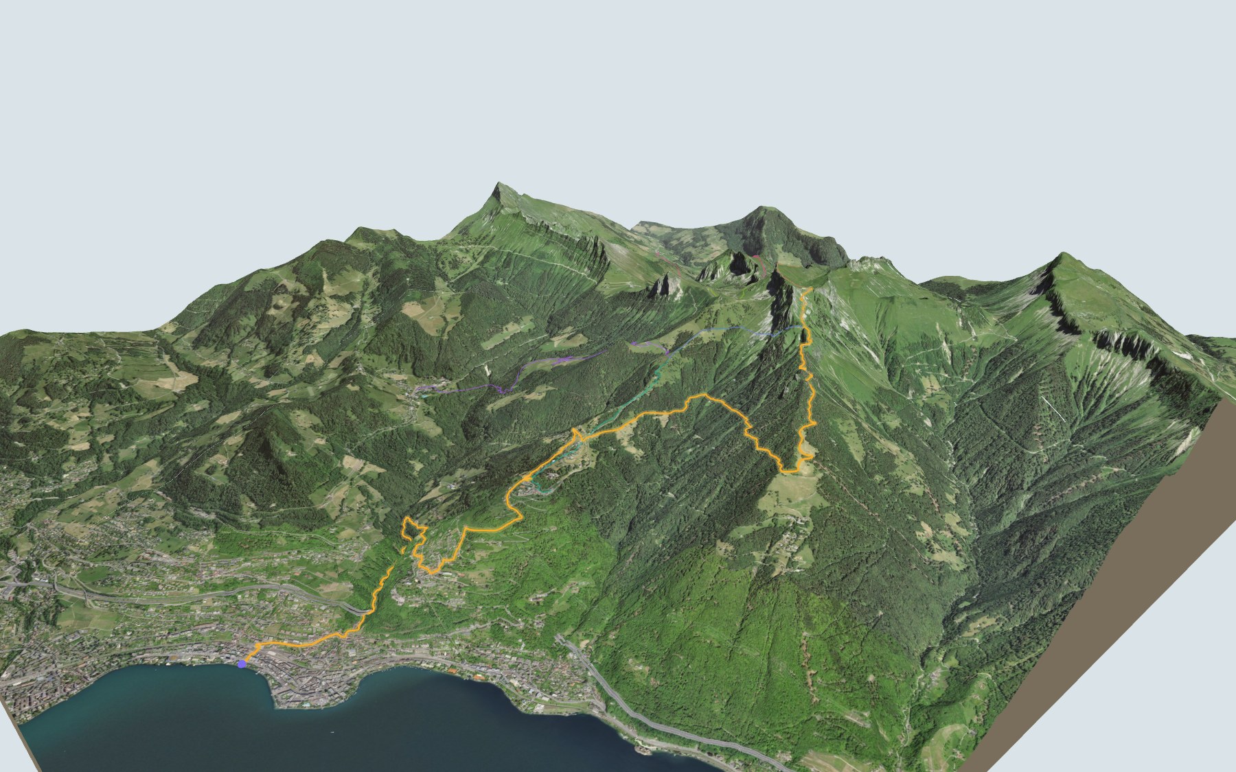
The classic hike of the Montreux Riviera: you start a few steps from Lake Geneva and climb all the way to the Rochers-de-Naye station, just below the summit. Nothing technical, but the climb never lets up: almost all of the elevation is gained in one go. Fun fact: this is stage 20 of the Via Alpina, walked in reverse.
The path first winds up through the upper parts of Montreux to Glion, then Caux. After that the houses give way to mountain pastures: Liboson, then the slopes of Malajoux and the Creux à la Cierge. Your last stop before the station is the Chalet de Sautodoz. The elevation profile shows you where it gets steepest.
Not enough time or legs for the whole climb? Shorten it by starting from Caux, Les Avants, Allières or Jaman: each starting point has its own colour in the 3D view and its own estimated time in Every way up to the top. And if you go through Les Avants, take a look at the Chemin des Narcisses.
At the top, your reward: the lake far below, the La Rambertia alpine garden a few minutes from the station, and the cog railway, opened in 1892, to take you back down without punishing your knees. Check the next trains down and plan your day before you set off. Looking for more in the area? See all hikes in the Vaud Alps.
The story of the trail
What happened where you are going to walk, chapter by chapter.
One long climb
You start at 374 m on the shore of Lake Geneva and finish at 1,970 m, at Rochers-de-Naye station. In between: 13.7 km and 1,700 m of climbing, with only 90 m of descent, so there is hardly a flat stretch. SwitzerlandMobility gives 5 h 35 of walking time in this direction, 4 h 00 the other way.
This is stage 20 of the Via Alpina, walked in reverse. The official route runs down from Rochers-de-Naye to Montreux; here you walk it up, and the train is waiting at the top to take you back.
Glion, Caux, then the alpine pastures
The first four kilometres climb through the upper streets of Montreux towards Glion. Around the 5th kilometre you reach Caux. Above it, houses give way to alpine pastures.
Beyond Caux the path goes through the pastures of Liboson, then across the slopes of Malajoux and Le Creux à la Cierge. The Chalet de Sautodoz, shortly before the finish, at 1,816 m, is the last place to stop before the station.
A railway built with mules
Work began on 10 March 1891. Engineer Adolphe Jaques ran the site, and building materials went up on mules. The rack railway opened on 27 July 1892, after less than two years of work. The Rochers-de-Naye hotel, part of the same project, was built in seventeen weeks.
On opening day the guests rode down to Glion, then took the Territet funicular, open since 1883: the line did not reach Montreux until 1909. Today you take the same railway down from the top.
A thousand plants below the summit
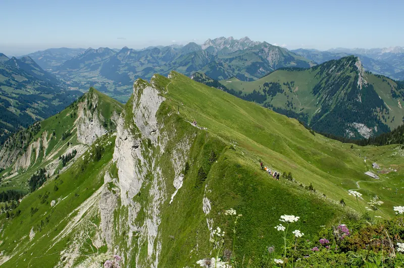
A few minutes from the station, the La Rambertia alpine garden grows about 1,000 plant species from the mountains of Switzerland, Europe and other continents. It was founded in 1896 and celebrates its 130th year in 2026. It opens from mid-June to October, weather permitting.
The rock here is a hard grey limestone from the Upper Jurassic. The soil is thin and dries out quickly in summer. The massif is home to chamois, black alpine salamanders, butterflies and nesting birds.
Lake Geneva at your feet
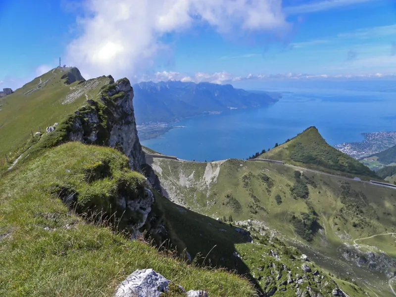
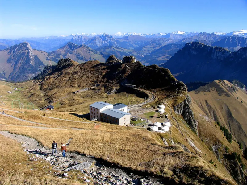
From the station you can see the whole way back: Caux, Glion, Montreux and Lake Geneva far below. Further down this page: where to eat before the train, and when it leaves.
Every way up to the top
5 starting points to reach Rochers-de-Naye station. Pick yours: the 3D view shows it and “My day” recalculates.
Walking times without breaks. “Estimated” times are calculated on the swisstopo profile with a model fitted to the official SwitzerlandMobility stages; the shortest path may differ from the one on the yellow signposts: on the ground, follow the signs. Gradient: the steepest over 200 m of trail. Profiles share the same scale (length and altitude). Stations and car parks within 500 m of the start, according to OpenStreetMap.
In pictures
The Rochers-de-Naye cliffs above Lake Geneva
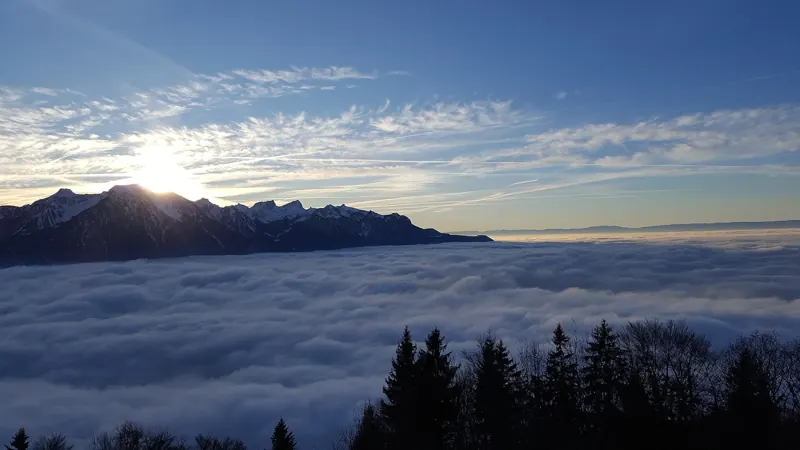
Sunset over the sea of fog
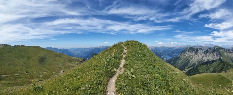
The trail along the ridge
Grassy ridges around the summit
The summit and its buildings, with the Alps in the distance
The summit station and the rack railway
The rack railway near the summit
Marmot at the summit marmot park
Spring gentians on the rocks
Evening light on the rocks
What you see from the top
360° view from Rochers de Naye (2,042 m). 39 named peaks, including Mont Blanc, 67.2 km away. Swipe to look around.
The next few days
MeteoSwiss local forecast, updated every hour
Reading the MeteoSwiss forecast…
My day
Pick your day and start time: everything updates.
- Arrival at Rochers-de-Naye station
- 14:05 5 h 35 of walking without breaks, starting at 08:30
The trail, kilometre by kilometre
Places are listed under the kilometre where you pass them. Drag along the profile: the marker moves on the 3D view too.
- under 10 %
- 10 to 20 %
- 20 to 30 %
- over 30 %
- fountain or water point
- toilets
Around the trail (250 m, OpenStreetMap, extract of 25/10/2026): 21 restaurants, 9 cafés, 37 fountains and water points, 12 toilets. Estimated time: the official walking time spread by effort (1 km on the flat counts as 100 m of climbing), start time set in “My day”.
Getting there and back
Public transport back to Montreux
Next departures from Rochers-de-Naye stationReading the official timetable…
Rather go downhill? Take the train up and walk down: 1,700 m of descent, 4 h 00 according to SwitzerlandMobility.
By car
Park in Montreux. Public transport brings you back to Montreux, and so to your car. The time of the last departure is in My day.
- Parking de la Gare de Montreuxmulti-storey car park · paid · open 24/7190 m from the start
- Marché-Forumunderground car park510 m from the start
- Car park open-air, Grand-Ruepaid · 39 spaces80 m from the start
- Car park open-air, Quai Edouard-Jaccoudpaid180 m from the start
Public car parks within 600 m of the start, according to OpenStreetMap: prices and number of spaces may have changed, check the signs on site.
Questions people ask
How long is the hike from Montreux to the finish (Rochers-de-Naye station)?
5 h 35 of walking according to SwitzerlandMobility, in this direction, not counting breaks. The other way: 4 h 00.
Is it hard?
SwitzerlandMobility rates this stage: fitness difficult, technique medium. It is 1,700 m of climbing over 13.7 km.
Can I take the train back down?
Yes. The hike ends at Rochers-de-Naye station, where the train goes back down to Montreux. The next departures show live under “Getting there and back”.
Where can I eat on the way?
31 restaurants, cafés and huts within 250 m of the trail, including Le Quai 10, Caveau des Vignerons, Buffet de la Gare. Where they are and their opening hours: below the profile.
Is there water and are there toilets on the way?
37 fountains and water points and 12 toilets within 250 m of the trail (survey of 25/10/2026).
Can I download the track?
Yes, as a GPX file for your watch or map app: “Download the track” button at the top of the page.
More hikes within 10 km
Official SwitzerlandMobility stages that pass within 10 km of this trail. Each card says whether its page is already up.
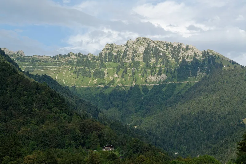 Montreux, Les Avants, loop2 h 00Chemin des Narcisses6.0kmDistance360mAscent360mDescentTechnical easyFitness easy. See the hike
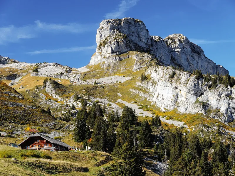 Leysin, Berneuse → Leysin2 h 45Sentier des trois tours de Leysin9.0kmDistance220mAscent880mDescentTechnical mediumFitness medium. See the hike
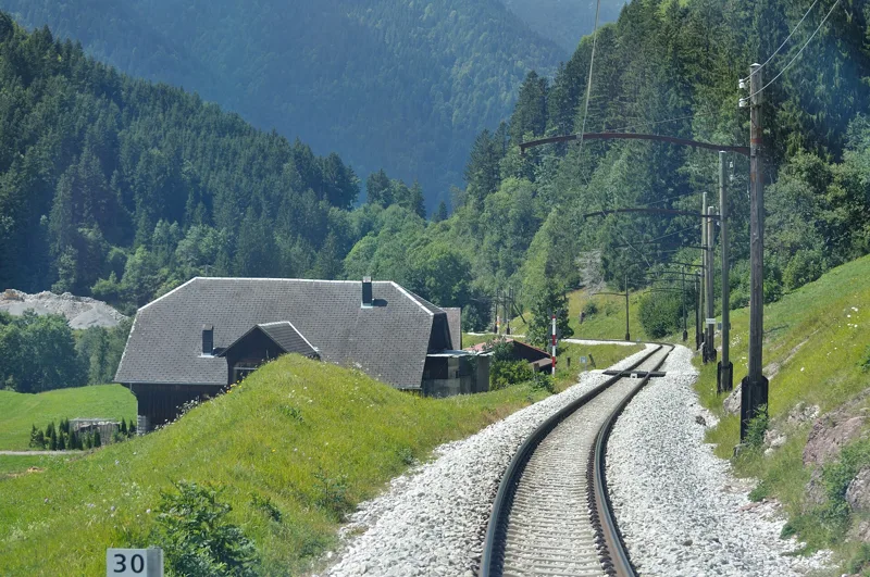 Les Mosses → Château-d’Oex4 h 15Tour des Alpes Vaudoises, stage 315.0kmDistance400mAscent880mDescentTechnical mediumFitness medium. See the hike
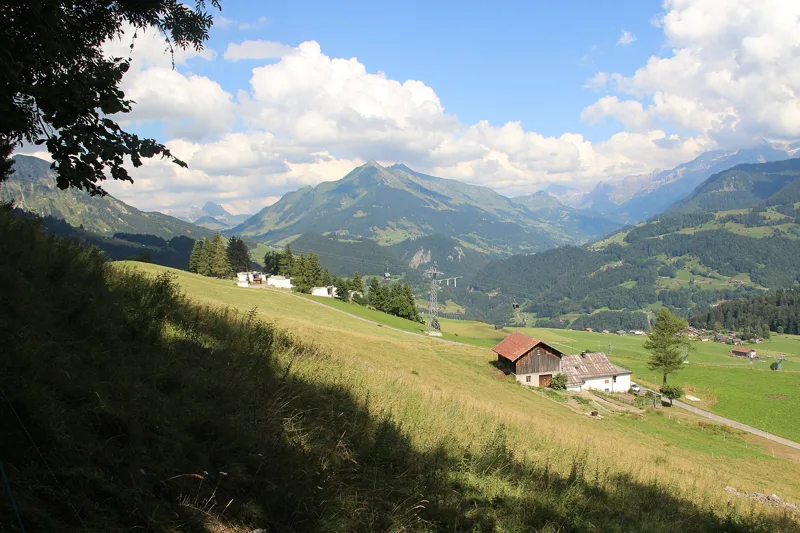 Aigle → Leysin3 h 10Tour des Alpes Vaudoises, stage 17.0kmDistance1,000mAscent10mDescentTechnical mediumFitness difficult. See the hike
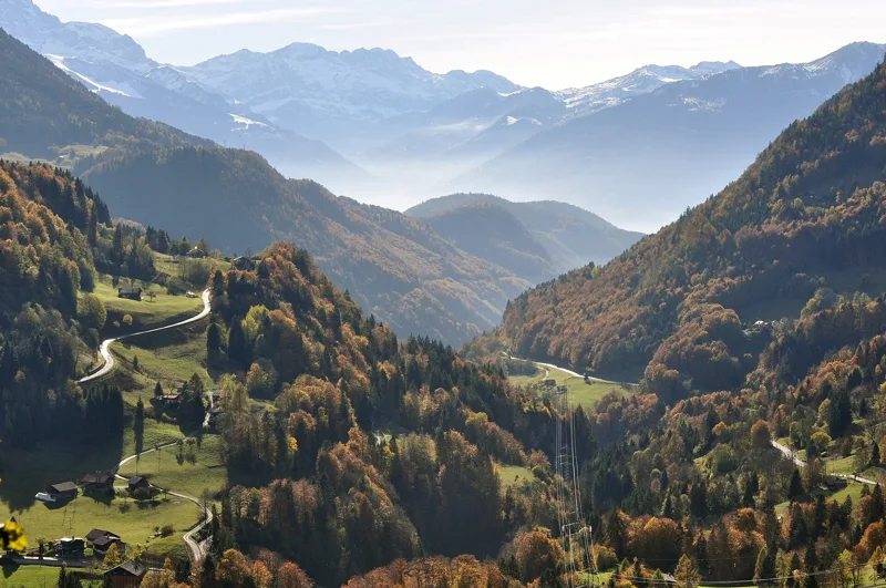 Le Sépey, loop2 h 20Sentier des ponts historiques du Sépey7.0kmDistance400mAscent400mDescentTechnical easyFitness medium. See the hike
- Vevey → Aigle6 h 00ViaFrancigena, stage 525.0kmDistance220mAscent180mDescentTechnical easyFitness difficult. Page coming