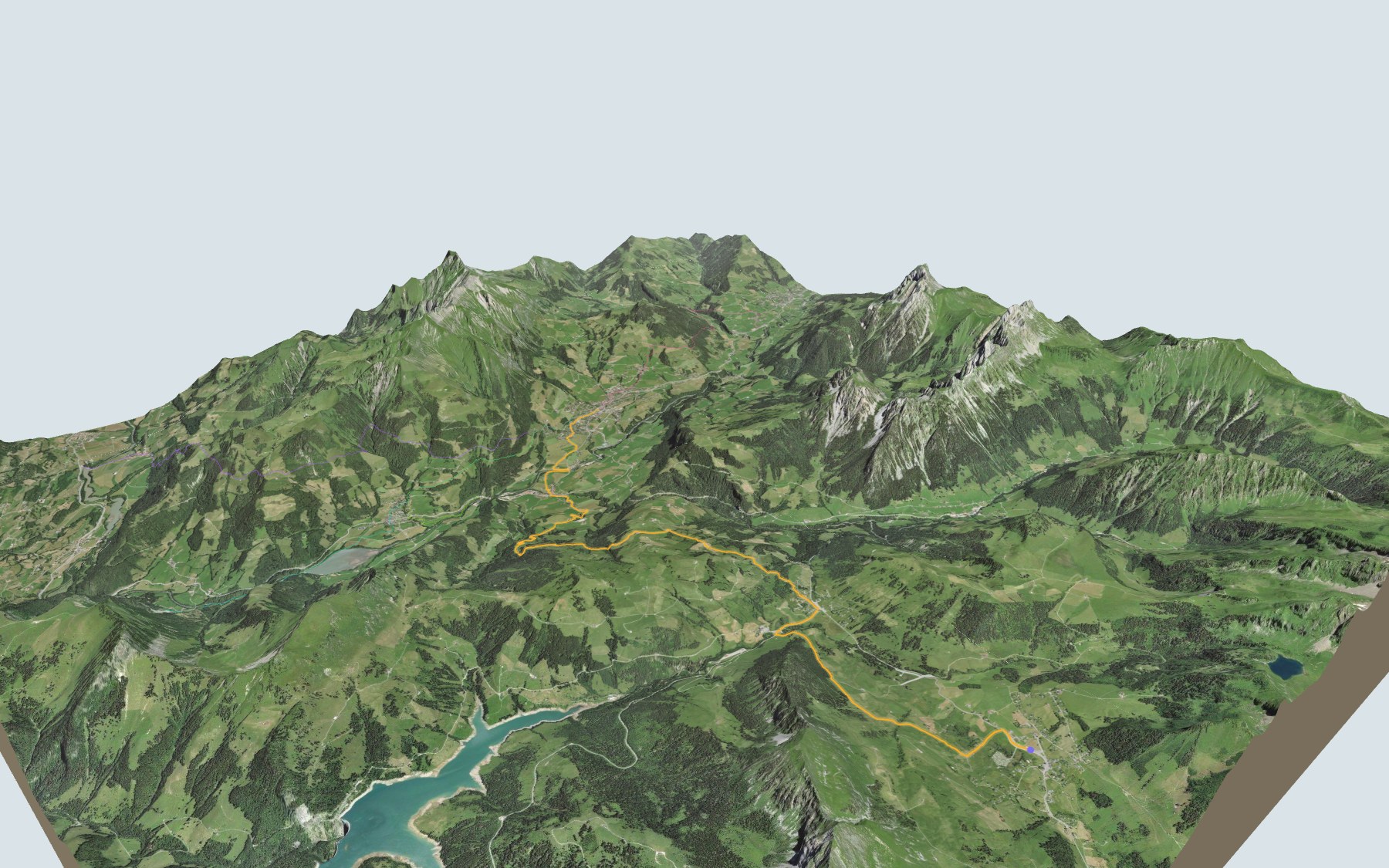

From the Col des Mosses to the Sarine valley
This is stage 3 of the Tour des Alpes Vaudoises: you leave the Col des Mosses and walk to Château-d'Oex, in the upper Sarine valley. SwitzerlandMobility rates it medium, for fitness as well as for technique.
The first seven kilometres roll through the Col des Mosses and La Lécherette moorland. Then the path drops towards Les Moulins, crosses the Sarine and climbs back up to Château-d'Oex. The route profile shows you where the descent is steepest.
Want a shorter version? Start from La Tine, Lessoc, Flendruz or La Chaudanne-Les Moulins: each start has its own colour in the 3D view and an estimated time under all starting points. To keep going, the next stage starts in Château-d'Oex: Château-d'Oex → L'Etivaz.
At the finish is Château-d'Oex station; the Montreux-Oberland Bernois railway reached the village in 1904. Check the next departures and plan your day before you set off. Fancy something else nearby? See all hikes in the Vaud Alps.
The story of the trail
What happened where you are going to walk, chapter by chapter.
A stage that heads down to the Sarine
You start at 1,444 m in Les Mosses and finish at 968 m in Château-d'Oex. In between are 15.4 km, plus 400 m of climbing and 880 m of descent according to SwitzerlandMobility. SwitzerlandMobility allows 4 h 15 of walking in this direction and 4 h 40 the other way, and rates the stage medium for fitness as well as for technique.
At the start you'll find Le Bivouac, Bar le cosmos and La Drosera. Halfway along there's a water point. After that, for food you have to wait until Les Moulins: the Pizzeria de la Croix d'or and the Early Beck café. On the way, follow the signposts and check the conditions on the day.
From Les Mosses to Les Moulins
The path leaves the Col des Mosses and reaches its high point, 1,498 m, in the first few kilometres. It dips to cross the Hongrin, climbs back to La Lécherette, then gains height again until around the sixth kilometre.
Then, around halfway, comes the long descent down towards the Sarine. The path passes the Torrent des Coulayes, Le Monteiller Devant, the Torneresse and Les Moulins. It crosses the Sarine, then climbs through Le Pré and La Frasse to Château-d'Oex.
A moorland of national importance
In its first seven kilometres, the path runs through the Col des Mosses/La Lécherette moorland, listed in 1996 in the Federal Inventory of Mire Landscapes of Particular Beauty and National Importance (site 99). Flysch and impermeable moraine deposits created the gentle shapes of the relief and the wide expanses of marsh: six raised bogs and hundreds of hectares of fens stretch across the site.
After La Lécherette, the path passes through the raised bog "Tourbière sous les Plans", listed in the Federal Inventory of Raised Bogs. The Hongrin, with its riverside vegetation and meanders, is one of the valuable natural streams here, and the mosaic of wetlands, meadows and pastures is highly valuable for wildlife, especially for certain birds, butterflies, dragonflies, reptiles and amphibians. Part of the fens and wet meadows is mown for fodder and litter; scattered hay barns recall this practice.
Château-d'Oex, from the Counts of Gruyère to Bern
Château-d'Oex is a large village in the upper Sarine valley, with the villages of L'Etivaz, Les Moulins and Les Granges. From the 14th to the 18th century, the municipality was divided into seven "établées", including Le Monteiller and La Frasse. The Counts of Gruyère conquered the valley from the 10th century. The church, dedicated to Saint Donatus and mentioned from 1175, was rebuilt in the early 14th century on the hill of La Motte, the site of a castrum belonging to the Count of Gruyère.
Bern received the upper Gruyère region in 1555. In the 18th century, a community of 2,000 people and 2,000 cows sold its cheeses at the market in Vevey, reached over the Col de Jaman. In 1800, a great fire destroyed the wooden houses built on the central hill, and the village was rebuilt in stone.
Arriving in Château-d'Oex
The Col des Mosses road was built from 1865 to 1871. In 1904, the arrival of the Montreux-Oberland Bernois (MOB) railway made the municipality more attractive as a holiday resort, popular with British tourists. At the finish is Château-d'Oex station: the rest of this page gives the next departures.
Every way to Château-d'Oex
5 starting points to reach Château-d'Oex. Pick yours: the 3D view shows it and “My day” recalculates.
Walking times without breaks. “Estimated” times are calculated on the swisstopo profile with a model fitted to the official SwitzerlandMobility stages; the shortest path may differ from the one on the yellow signposts: on the ground, follow the signs. Gradient: the steepest over 200 m of trail. Profiles share the same scale (length and altitude). Stations and car parks within 500 m of the start, according to OpenStreetMap.
In pictures
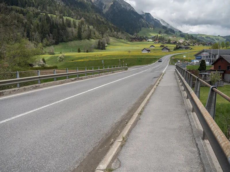
The Route de Gruyère road bridge over the Sarine at Les Moulins (Château-d'Oex, canton of Vaud)
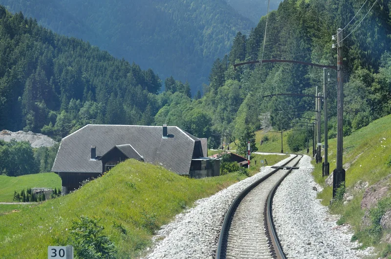
Les Moulins (Vaud), seen from the driver's cab of the Montreux-Oberland Bernois railway, August 2012
Le Plancher des Vaches
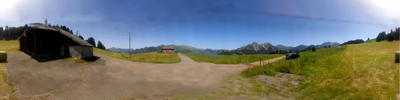
The Col des Mosses, looking north
Les Mosses and La Lécherette, seen from Oudiou
The church of Château-d'Oex
The next few days
MeteoSwiss local forecast, updated every hour
Reading the MeteoSwiss forecast…
My day
Pick your day and start time: everything updates.
- Arrival at Château-d'Oex
- 12:45 4 h 15 of walking without breaks, starting at 08:30
The trail, kilometre by kilometre
Places are listed under the kilometre where you pass them. Drag along the profile: the marker moves on the 3D view too.
- under 10 %
- 10 to 20 %
- 20 to 30 %
- over 30 %
- fountain or water point
- toilets
Around the trail (250 m, OpenStreetMap, extract of 25/10/2026): 13 restaurants, 4 cafés, 13 fountains and water points, 11 toilets. Estimated time: the official walking time spread by effort (1 km on the flat counts as 100 m of climbing), start time set in “My day”.
Getting there and back
Back by public transport from the Château-d'Oex stop
Next departures from Château-d'OexReading the official timetable…
By car
Careful, this is one way: public transport back arrives in Château-d'Oex, not in Les Mosses. Plan to get back to your car by public transport, or park at the finish and take the train to the start.
- Car park open-air, Route du Col des Mossesfree70 m from the start
- Car park roadside, Route du Col des Mosses70 m from the start
Public car parks within 600 m of the start, according to OpenStreetMap: prices and number of spaces may have changed, check the signs on site.
Questions people ask
How long is the hike from Les Mosses to the finish (Château-d'Oex)?
4 h 15 of walking according to SwitzerlandMobility, in this direction, not counting breaks. The other way: 4 h 40.
Is it hard?
SwitzerlandMobility rates this stage: fitness medium, technique medium. It is 880 m of descent over 15.4 km.
Can I get back by public transport?
Yes. The Château-d'Oex stop is at the finish. The next departures show live under “Getting there and back”.
Where can I eat on the way?
17 restaurants, cafés and huts within 250 m of the trail, including Le Bivouac, Bar le cosmos, La Drosera. Where they are and their opening hours: below the profile.
Is there water and are there toilets on the way?
13 fountains and water points and 11 toilets within 250 m of the trail (survey of 25/10/2026).
Can I download the track?
Yes, as a GPX file for your watch or map app: “Download the track” button at the top of the page.
More hikes within 10 km
Official SwitzerlandMobility stages that pass within 10 km of this trail. Each card says whether its page is already up.
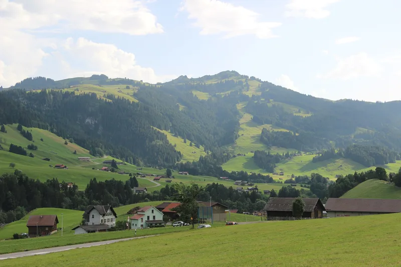 Château-d'Oex → L'Etivaz5 h 30Tour des Alpes Vaudoises, stage 414.0kmDistance1,200mAscent1,000mDescentTechnical mediumFitness difficult. See the hike
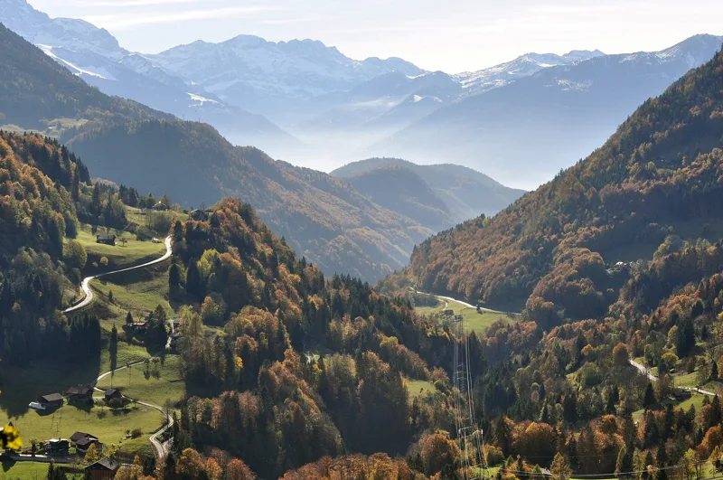 Le Sépey, loop2 h 20Sentier des ponts historiques du Sépey7.0kmDistance400mAscent400mDescentTechnical easyFitness medium. See the hike
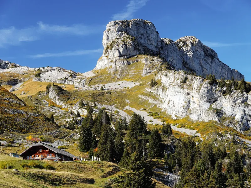 Leysin, Berneuse → Leysin2 h 45Sentier des trois tours de Leysin9.0kmDistance220mAscent880mDescentTechnical mediumFitness medium. See the hike
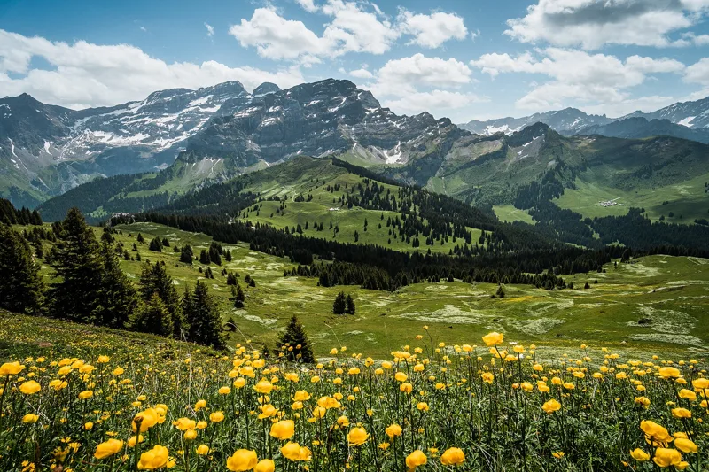 Les Diablerets → Villars-sur-Ollon6 h 10Tour des Alpes Vaudoises, stage 618.0kmDistance1,100mAscent1,000mDescentTechnical mediumFitness difficult. See the hike
 Bretaye, loop3 h 35Chemin des pyramides de Gypse12.0kmDistance540mAscent540mDescentTechnical mediumFitness medium. See the hike
 Col du Pillon, loop3 h 10Tour de La Palette9.0kmDistance560mAscent560mDescentTechnical mediumFitness medium. See the hike