
Hiking the historic bridges of Le Sépey
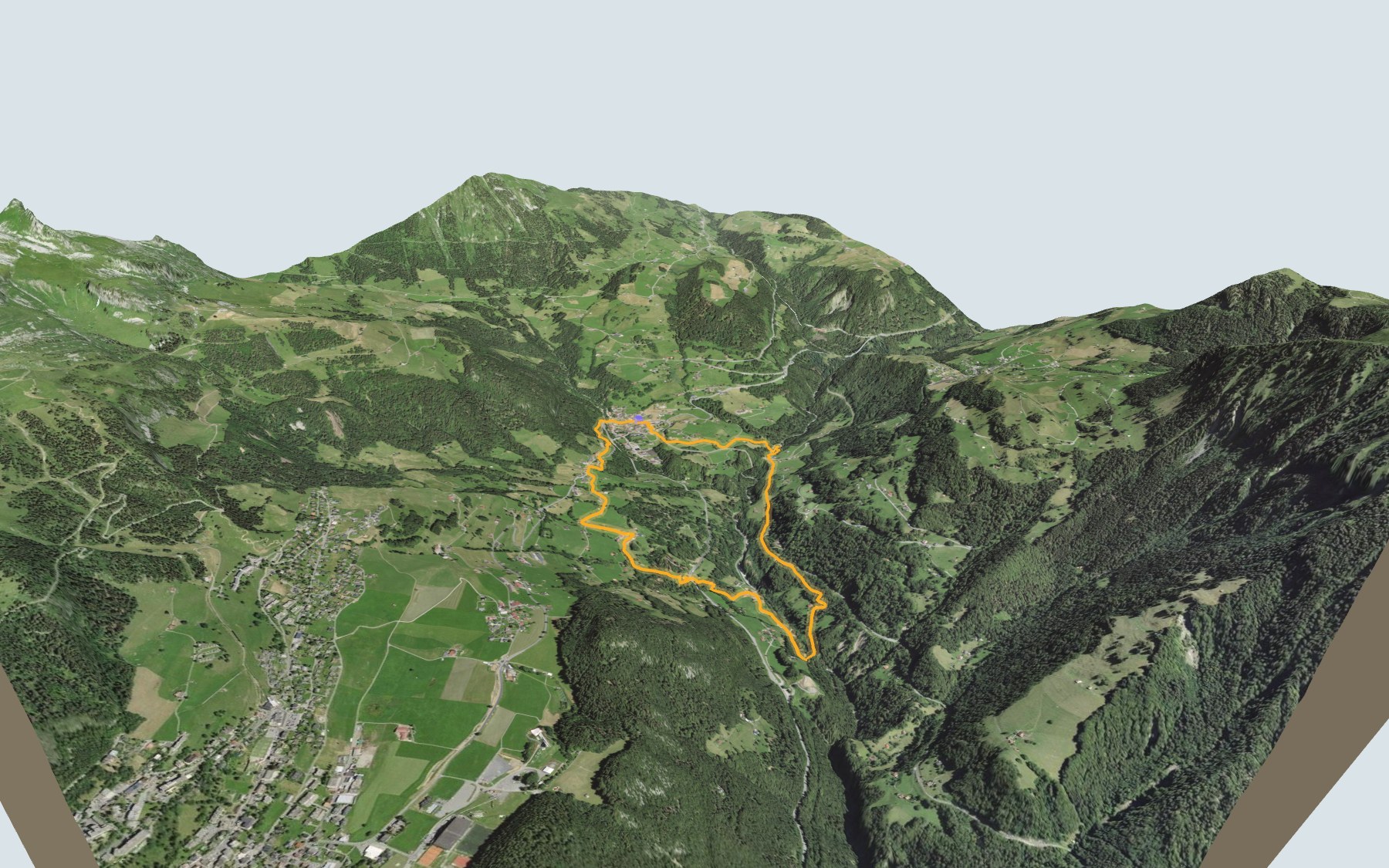
A short loop, but not a flat one: from Le Sépey you drop down to the Grande Eau river twice and climb back up twice. Waiting down there are two stone bridges, the Pont de la Tine and the old Pont des Planches, reopened in 2024. SwitzerlandMobility rates it medium for fitness and easy for technique.
You first climb to the hamlet of Cergnat and its church, then on towards Le Verney, the highest point. From there the path dives down to the power station and the Pont de la Tine, climbs back up towards Les Planches, drops again to the old bridge and returns to the village through Les Plans. The elevation profile shows you both descents and both climbs.
Want to cut it short? The Aigle-Sépey-Diablerets train stops on request at Les Planches and Les Fontanelles, along the route. Check the next departures from Le Sépey and plan your day before you set off.
Looking for more in the area? Try the Sentier des trois tours de Leysin, the climb from Aigle to Leysin, or see all hikes in the Vaud Alps.
The story of the trail
What happened where you are going to walk, chapter by chapter.
Twice down to the Grande Eau
You start in Le Sépey, at 977 m, and finish there too. The loop is 7.0 km long, with 400 m of climbing and the same amount of descent according to SwitzerlandMobility, which gives 2 h 20 of walking time in either direction. The highest point, at 1,051 m, is near Le Verney, in Cergnat.
From there the path heads down through Dessous Cergnat and the hamlet of Le Pont to the Grande Eau, passes the Pont de la Tine hydroelectric power station and then the Pont de la Tine itself. It climbs back up through Les Faveires towards Les Planches, drops down to the old Pont des Planches and returns to Le Sépey through Les Plans and Les Chenevières. The Tea Room Mont d'Or is right at the start; bring something to drink for the rest of the way, and follow the signposts and check the conditions on the day.
The oldest village in the Ormonts
The Historical Dictionary of Switzerland describes Le Sépey as certainly the oldest clustered settlement in the Ormonts valley. In 1441, the co-lords of Aigremont granted the valley's farmers two annual fairs here. The Sépey stream, which you cross at the start, used to power many mills, a tannery and a forge.
The carriage road from Aigle, built in 1835-1840, brought a boom that peaked around 1870 with three large hotels. Cergnat, the first hamlet on the loop, is one of the oldest permanent settlements in the municipality of Ormont-Dessous, along with Le Sépey and La Forclaz; its parish church, dedicated to Saint Maurice, is recorded in 1279.
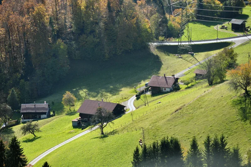
Gorges and rocks of the Prealps
The Grande Eau flows from Les Diablerets down to Aigle; the old Pont des Planches is nestled in the Grande Eau gorges, and the Pont de la Tine crosses the river too. The path runs through forests and gorges with views of the surrounding peaks; the loop also crosses the Sépey stream.
Underfoot, it is moraine more often than anything else, much of it assigned to the glacier retreat after the Last Glacial Maximum, then limestone, dolomite and cellular dolomite (cornieule) of the Préalpes médianes, plus gypsum near the Pont de la Tine. A large part of the loop runs through a "zone of slope sagging" (zone de tassement).
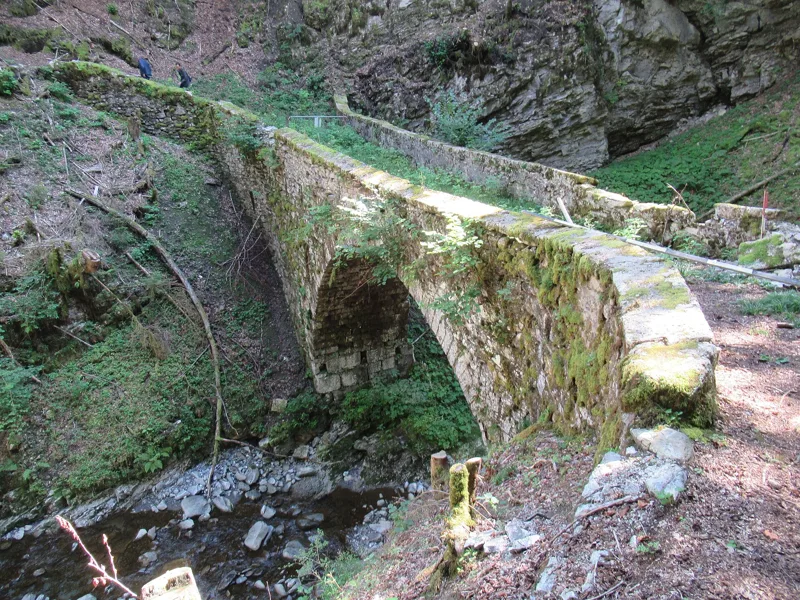
Two stone bridges, two centuries
The Pont de la Tine, also known as the Pont Lavau, was rebuilt in 1729 in the Roman tradition of stone vaults, according to the Chablais public transport company (TPC). At this spot runs an old route of regional importance with a lot of historical substance, included in the Inventory of Historical Traffic Routes in Switzerland (IVS).
The old Pont des Planches was built between 1776 and 1778 by François Giroud, a master mason from Veytaux. Listed as a historic monument since 1968, it was closed in 2015 after the road surface sank. In March 2023, just before the works began, its downstream wall collapsed; building materials were brought in by helicopter. The Association of Friends of the 1778 Pont des Planches raised the funds, the Federal Roads Office paid for a third of the works, and the bridge was inaugurated on Saturday 25 May 2024: it links Le Sépey and La Forclaz once again. On the road from Le Sépey to La Forclaz, another Pont des Planches, built in 1913, is listed as a Swiss cultural property of national importance.
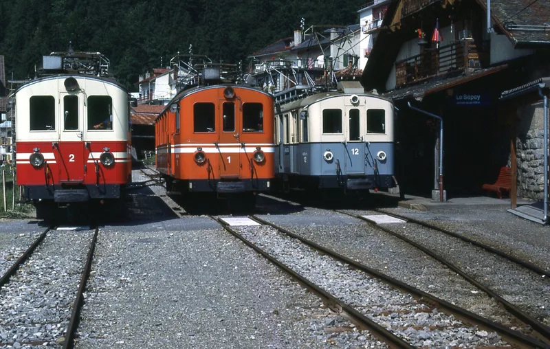
Back to Le Sépey, and the train
From the old bridge, the last climb takes you through Les Plans and Les Chenevières and back into the village. The Aigle-Sépey-Diablerets railway has served Le Sépey since 1914; along the loop it also stops on request at Les Planches and Les Fontanelles. Further down this page: the next departures from Le Sépey.
In pictures
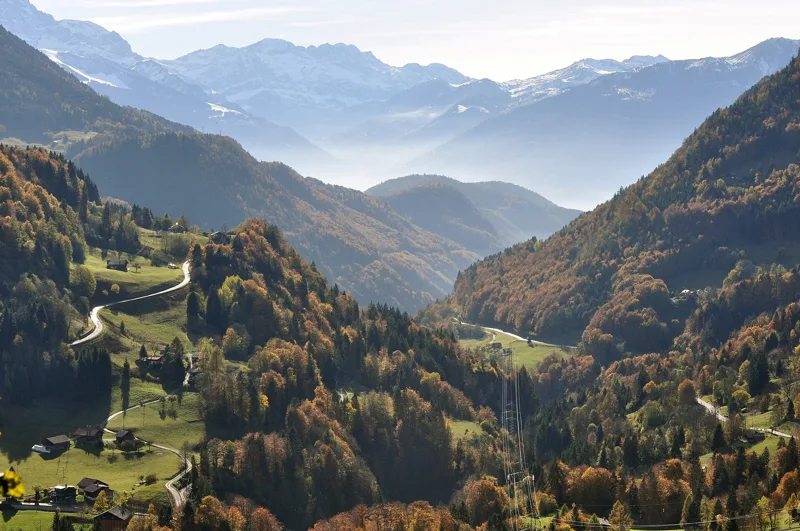
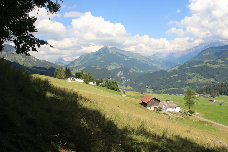
View over the Ormonts valley towards the Rhône valley from Le Sépey; on the left, Les Planches and the road to La Forclaz
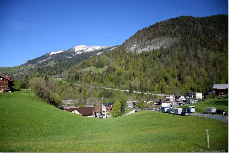
Le Sépey and its meadows, peaks still under snow, May 2019
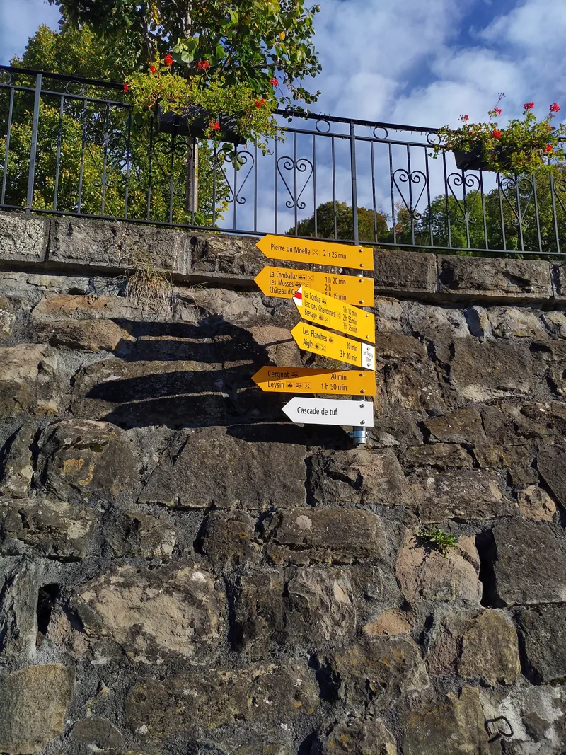
Signpost "Le Sépey" (978 m)
The old Pont des Planches before restoration (2021)
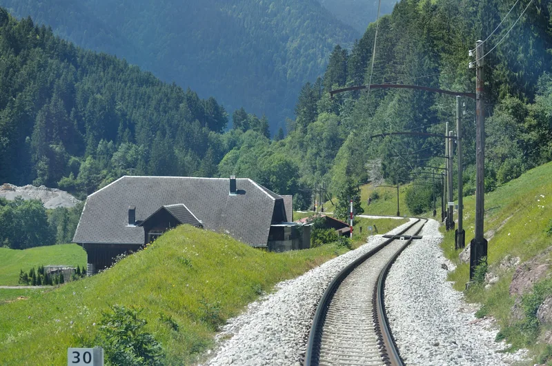
Pic Chaussy seen from Les Planches (Pont des Planches, view from the railway)
Aigle-Sépey-Diablerets railcars at Le Sépey station, 1980s
Ormont-Dessous
Ormont-Dessous, May 2019
The Tour d'Aï seen from the village of La Forclaz, in the municipality of Ormont-Dessous
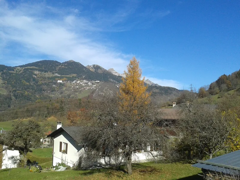
A farm on the slopes of Le Sépey in the morning sun, May 2019
The next few days
MeteoSwiss local forecast, updated every hour
Reading the MeteoSwiss forecast…
My day
Pick your day and start time: everything updates.
- Arrival at Le Sépey
- 10:50 2 h 20 of walking without breaks, starting at 08:30
The trail, kilometre by kilometre
Places are listed under the kilometre where you pass them. Drag along the profile: the marker moves on the 3D view too.
- under 10 %
- 10 to 20 %
- 20 to 30 %
- over 30 %
- fountain or water point
- toilets
Around the trail (250 m, OpenStreetMap, extract of 25/10/2026): 0 restaurants, 1 café, 3 fountains and water points, 1 toilet. Estimated time: the official walking time spread by effort (1 km on the flat counts as 100 m of climbing), start time set in “My day”.
Getting there and back
Back by public transport from the Le Sépey stop
Next departures from Le SépeyReading the official timetable…
By car
Careful, this is one way: public transport back arrives in Le Sépey, not in Le Sépey. Plan to get back to your car by public transport, or park at the finish and take the train to the start.
- Car park open-air, Rue de la Garefree10 m from the start
- Car park open-air, Place du Tilleul50 m from the start
- Car park open-air, Place du Marché couvert70 m from the start
Public car parks within 600 m of the start, according to OpenStreetMap: prices and number of spaces may have changed, check the signs on site.
Questions people ask
How long is the hike from Le Sépey to the finish (Le Sépey)?
2 h 20 of walking according to SwitzerlandMobility, in this direction, not counting breaks. The other way: 2 h 20.
Is it hard?
SwitzerlandMobility rates this stage: fitness medium, technique easy. It is 400 m of climbing over 7.0 km.
Can I get back by public transport?
Yes. The Le Sépey stop is at the finish. The next departures show live under “Getting there and back”.
Where can I eat on the way?
1 restaurant, cafés and huts within 250 m of the trail, including Tea Room Mont d'Or. Where they are and their opening hours: below the profile.
Is there water and are there toilets on the way?
3 fountains and water points and 1 toilet within 250 m of the trail (survey of 25/10/2026).
Can I download the track?
Yes, as a GPX file for your watch or map app: “Download the track” button at the top of the page.
More hikes within 10 km
Official SwitzerlandMobility stages that pass within 10 km of this trail. Each card says whether its page is already up.
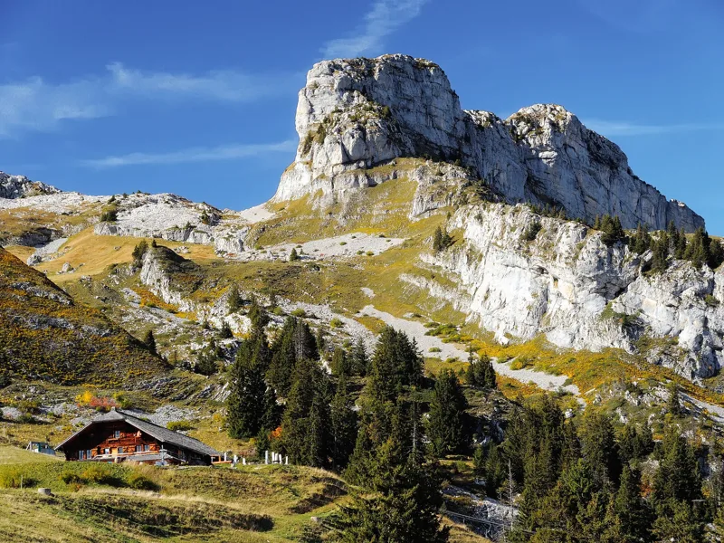 Leysin, Berneuse → Leysin2 h 45Sentier des trois tours de Leysin9.0kmDistance220mAscent880mDescentTechnical mediumFitness medium. See the hike
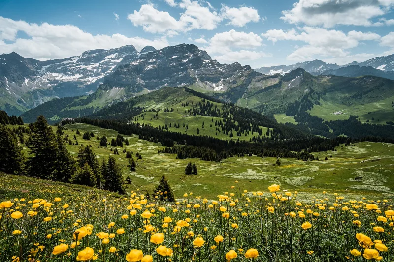
 Aigle → Leysin3 h 10Tour des Alpes Vaudoises, stage 17.0kmDistance1,000mAscent10mDescentTechnical mediumFitness difficult. See the hike
 Plambuit → Bex3 h 35Sentier du Sel13.0kmDistance360mAscent680mDescentTechnical easyFitness medium. See the hike
 Les Diablerets → Villars-sur-Ollon6 h 10Tour des Alpes Vaudoises, stage 618.0kmDistance1,100mAscent1,000mDescentTechnical mediumFitness difficult. See the hike
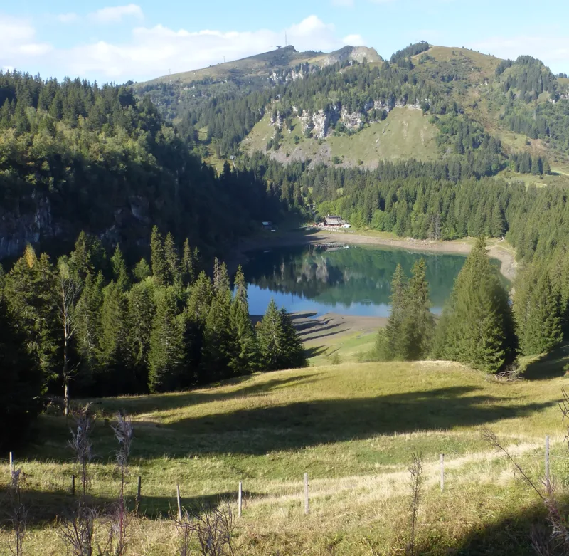 Bretaye, loop3 h 35Chemin des pyramides de Gypse12.0kmDistance540mAscent540mDescentTechnical mediumFitness medium. See the hike
 Les Mosses → Château-d’Oex4 h 15Tour des Alpes Vaudoises, stage 315.0kmDistance400mAscent880mDescentTechnical mediumFitness medium. See the hike