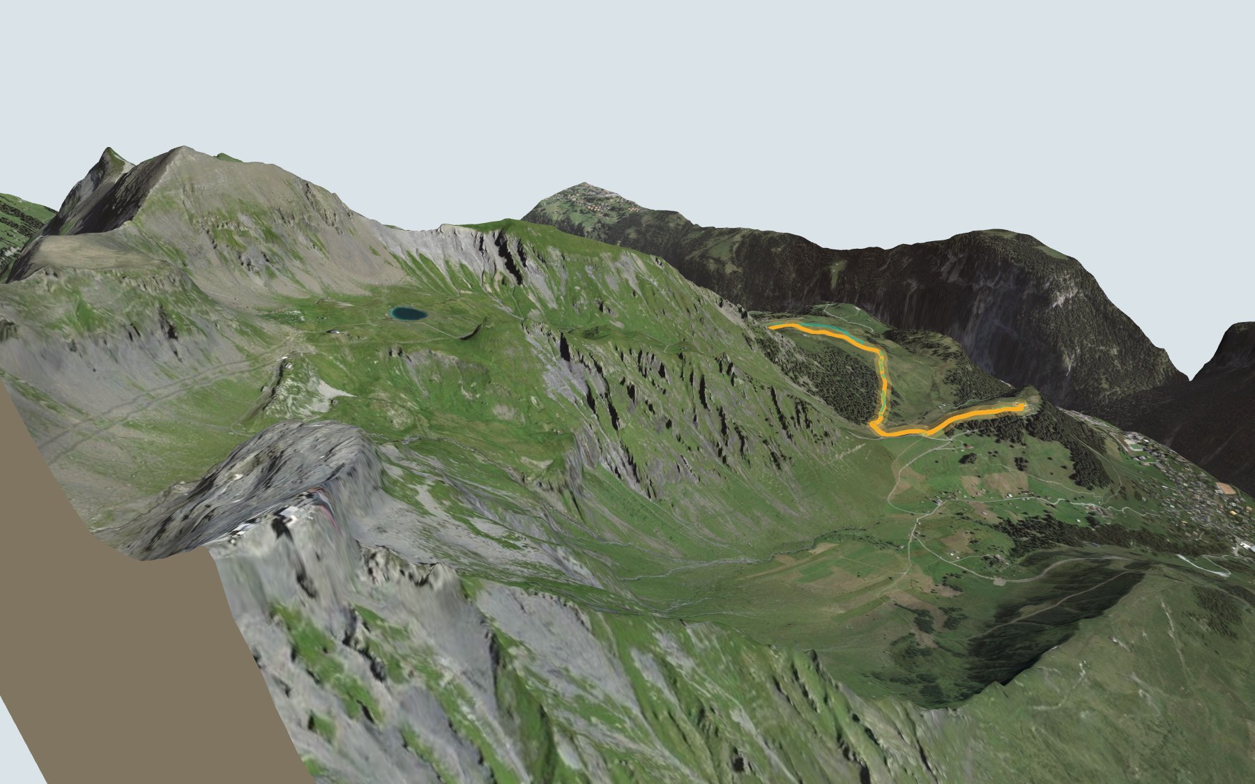

Hiking up from Grütschalp to the Allmendhubel
The Mountain View Trail lives up to its name: it is a walk through meadows and forest, with views of the mountains around the Eiger, Mönch and Jungfrau. You start at Grütschalp, at the top of the cable car from Lauterbrunnen, and climb to the Allmendhubel, above Mürren. SwitzerlandMobility rates it medium for both fitness and technique.
The start is the steepest part: a good share of the climb comes in the first kilometre and a half. The path then crosses the Bletschenalp area, then the Winteregg area, passes near the Maulerhubel, drops a little to the Ägertenbach stream and climbs one last time to the Allmendhubel. The trail profile shows you where it gets steep.
Want a shorter hike? Start uphill from Winteregg station, on the line from Grütschalp to Mürren: this start has its own colour in the 3D view and an estimated time under all starting points. Fancy another hike in the Bernese Oberland? The Lauberhorn Trail starts in Wengen, and the Eiger Trail follows the foot of the Eiger North Face.
At the top: the Panorama Restaurant Allmendhubel, the Flower Trail and the funicular back down to Mürren (four minutes for the ride up from Mürren). Check the next departures and plan your day before you set off. All the other hikes in the Bernese Oberland.
The story of the trail
What happened where you are going to walk, chapter by chapter.
From Grütschalp to the Allmendhubel
You start at 1,492 m at Grütschalp and finish at 1,907 m on the Allmendhubel. In between: 5.1 km, with 520 m of climbing and 110 m of descent according to SwitzerlandMobility. SwitzerlandMobility gives 2 h 00 of walking in this direction and 1 h 35 the other way. The highest point, at 1,926 m, is just before the finish, near the top of the Allmendhubel.
The path first crosses the Bletschenalp area and the Staubbach stream after about two kilometres. Halfway along, it runs through the Winteregg area and passes near the Maulerhubel. It then enters the Ägertental, crosses the Ägertenbach and climbs through the Bluemental to the finish. At the start, the Grütschalp Bistro is right next to the path; the next place to eat is the Panorama Restaurant Allmendhubel, at the finish, so bring something to drink. On the way, follow the signposts and check the conditions on the day.
A cable car, a train, and Mürren's freight
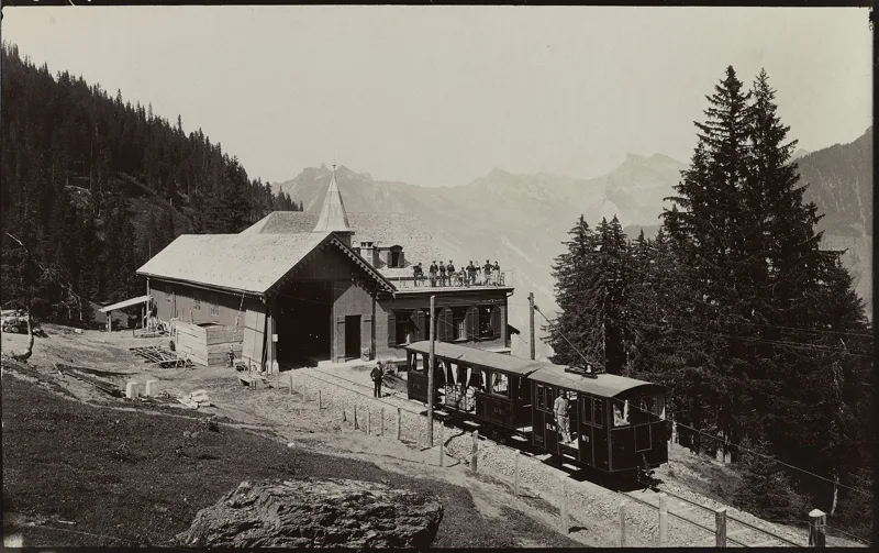
At Grütschalp you change from one ride to another. The Bergbahn Lauterbrunnen-Mürren, part of the Jungfraubahnen group, runs two lines here: a cable car from Lauterbrunnen that climbs in four minutes, and a four-kilometre adhesion railway to Mürren, with trains passing each other at Winteregg. Together they serve Mürren, a car-free village.
The cable car also carries freight, up to six tonnes. At the top station, an electric system transfers the goods onto the narrow-gauge train to Mürren: on average 5,000 tonnes of material a year. The cable car was thoroughly modernised in 2026; its cabin now carries 135 people instead of 100.
Fallen boulders, iron sandstone and moraine
Under your feet, there are first rockfall deposits and boulders, then scree. A little before halfway, the path crosses iron sandstone, the 'Eisensandstein' of the Glockhaus Member, a Helvetic rock from the Middle Jurassic (Aalenian and Bajocian), in an area of sagging slope. These are iron sandstones and nodular shales that weather to a rusty colour, with fossils of gastropods, crinoids, brachiopods and bivalves.
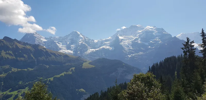
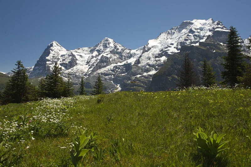
Past the halfway point, it is mostly moraine from the Late Pleistocene, broken up by scree and, near the Ägertenbach, a heap of fallen boulders. Opposite you stand the Eiger, Mönch and Jungfrau: you can already see them from the bistro at Grütschalp.
Mürren, from alpine pasture to resort
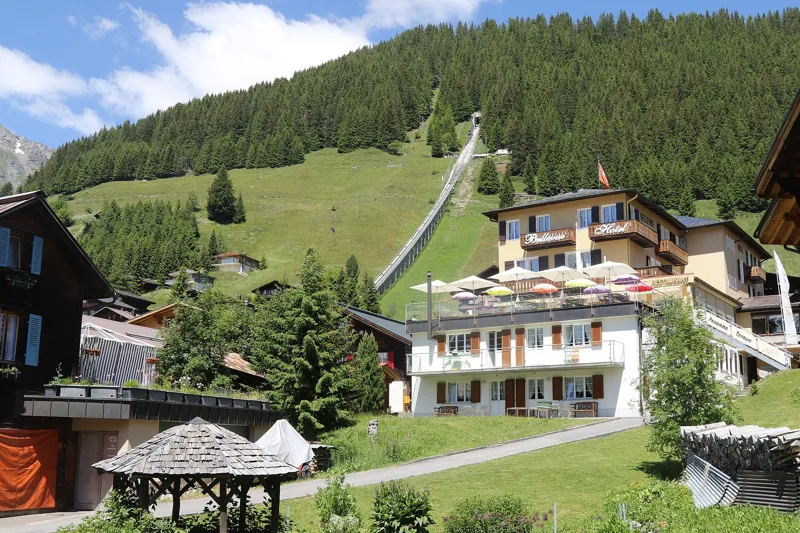
Mürren sits on a terrace on the left side of the Lauterbrunnen valley. It was probably a summer pasture until settlers from the Lötschental arrived after 1300; the name appears in 1257 as 'mons Murren'. In 1857, the village community and the alpine cooperative built the first hotel and leased it out.
Before the mountain railway of 1891, visitors could only get there by mule. Yet around 1888, Mürren and Gimmelwald already had more than half of the municipality's hotel beds. Until the First World War, most guests were British (Anglican church in 1878). Since 1967, the Schilthorn cable car has also served Mürren: it was built by a group of pioneers led by Ernst Feuz, a local from Mürren. The Inferno race has been held every year since 1928.
The Allmendhubel, Mürren's little mountain
The Schilthornbahn calls the Allmendhubel Mürren's little 'Hausberg', the village's own mountain. The Panorama Restaurant Allmendhubel has 80 seats inside and 188 on the terrace, next to the Flower Park playground. The Flower Trail starts at the restaurant and loops around the Allmendhubel in about twenty minutes on a wide path: more than 150 different mountain flowers can be spotted, including gentians, alpine roses and edelweiss.
To get back, the funicular runs down from the Allmendhubel to Mürren; the other way, the ride up from Mürren takes four minutes. From Mürren, the Bergbahn Lauterbrunnen-Mürren train takes you to Grütschalp, and the cable car down to Lauterbrunnen. Further down this page you'll find the next departures.
Every way up to the top
2 starting points to reach Mürren (Allmendhubel). Pick yours: the 3D view shows it and “My day” recalculates.
Walking times without breaks. “Estimated” times are calculated on the swisstopo profile with a model fitted to the official SwitzerlandMobility stages; the shortest path may differ from the one on the yellow signposts: on the ground, follow the signs. Gradient: the steepest over 200 m of trail. Profiles share the same scale (length and altitude). Stations and car parks within 500 m of the start, according to OpenStreetMap.
In pictures
The platform of Grütschalp station, with the Eiger, Mönch and Jungfrau in the background
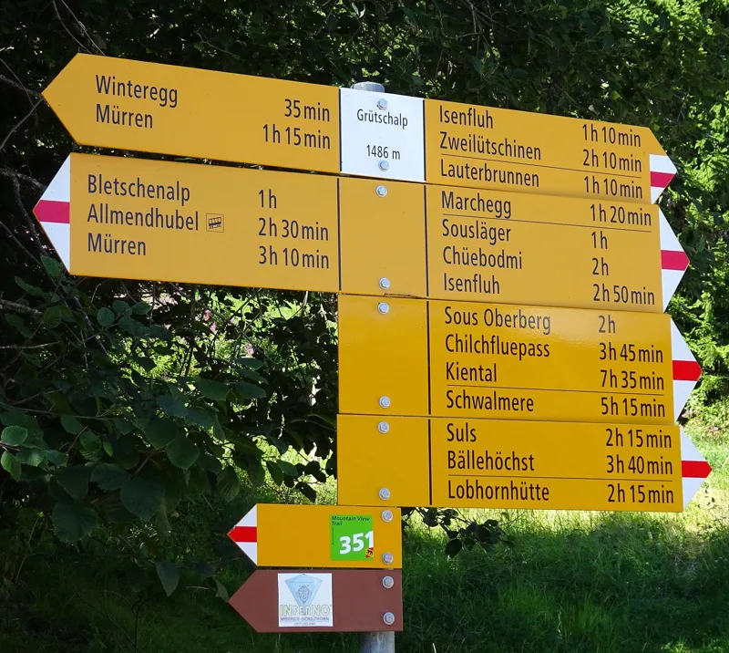
The hiking signpost Grütschalp 1486, Lauterbrunnen
Grütschalp station and the top station of the cable car from Lauterbrunnen
Grütschalp station on the Mürrenbahn
Railcar Be 4/4 23 of the Bergbahn Lauterbrunnen-Mürren, on the level line above the cliffs of the Lauterbrunnen gorge
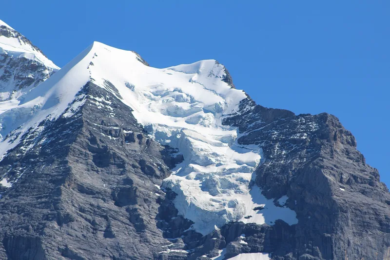
The Silberhorn, Goldenhorn and Silberhorn Glacier seen from Grütschalp
The Nollen Glacier on the Mönch, seen from Grütschalp
A buttercup-family flower (Ranunculaceae) at Mürren
The Allmendhubel funicular rising above Mürren
The Allmendhubelbahn, a funicular that connects Mürren with Allmendhubel
On the Flower Trail above Mürren, with the view of the Eiger, Mönch and Jungfrau
The next few days
MeteoSwiss local forecast, updated every hour
Reading the MeteoSwiss forecast…
My day
Pick your day and start time: everything updates.
- Arrival at Mürren (Allmendhubel)
- 10:30 2 h 00 of walking without breaks, starting at 08:30
The trail, kilometre by kilometre
Places are listed under the kilometre where you pass them. Drag along the profile: the marker moves on the 3D view too.
- under 10 %
- 10 to 20 %
- 20 to 30 %
- over 30 %
- fountain or water point
- toilets
Around the trail (250 m, OpenStreetMap, extract of 25/10/2026): 1 restaurant, 1 café, 1 fountain or water point, 1 toilet. Estimated time: the official walking time spread by effort (1 km on the flat counts as 100 m of climbing), start time set in “My day”.
Getting there and back
Back by public transport from the Allmendhubel (Standseilbahn) stop
Next departures from Allmendhubel (Standseilbahn)Reading the official timetable…
By car
Careful, this is one way: public transport back arrives in Allmendhubel (Standseilbahn), not in Lauterbrunnen (Grütschalp). Plan to get back to your car by public transport, or park at the finish and take the train to the start.
Public car parks within 600 m of the start, according to OpenStreetMap: prices and number of spaces may have changed, check the signs on site.
Questions people ask
How long is the hike from Lauterbrunnen (Grütschalp) to the finish (Mürren (Allmendhubel))?
2 h 00 of walking according to SwitzerlandMobility, in this direction, not counting breaks. The other way: 1 h 35.
Is it hard?
SwitzerlandMobility rates this stage: fitness medium, technique medium. It is 520 m of climbing over 5.1 km.
Can I get back by public transport?
Yes. The Allmendhubel (Standseilbahn) stop is at the finish. The next departures show live under “Getting there and back”.
Where can I eat on the way?
2 restaurants, cafés and huts within 250 m of the trail, including Grütschalp Bistro, Panorama Restaurant Allmendhubel. Where they are and their opening hours: below the profile.
Is there water and are there toilets on the way?
1 fountain or water point and 1 toilet within 250 m of the trail (survey of 25/10/2026).
Can I download the track?
Yes, as a GPX file for your watch or map app: “Download the track” button at the top of the page.
More hikes within 10 km
Official SwitzerlandMobility stages that pass within 10 km of this trail. Each card says whether its page is already up.
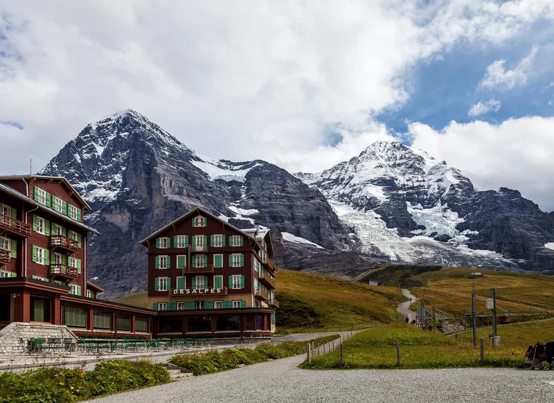 Wengen (Allmend) → Kleine Scheidegg2 h 50Lauberhorn Trail6.0kmDistance820mAscent260mDescentTechnical mediumFitness medium. See the hike
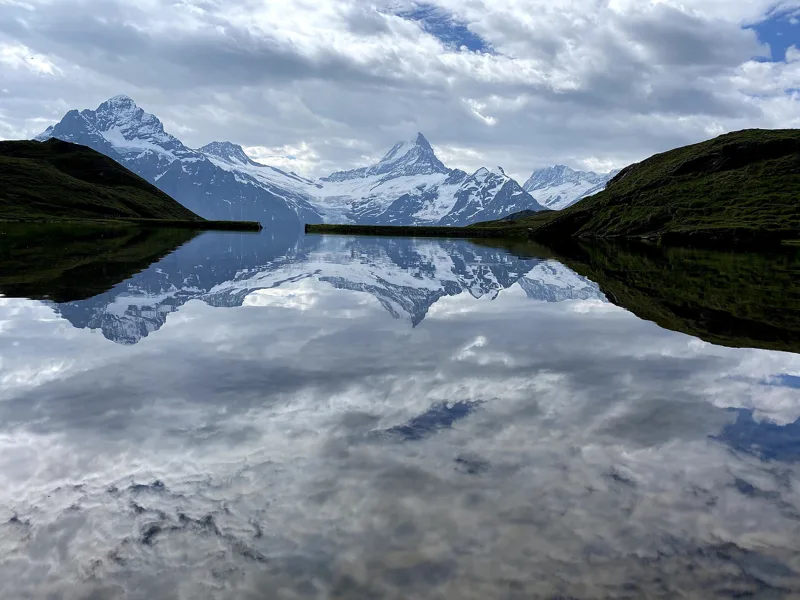 Schynige Platte → Grindelwald, First5 h 45ViaBerna, stage 1517.0kmDistance1,100mAscent900mDescentTechnical mediumFitness difficult. See the hike
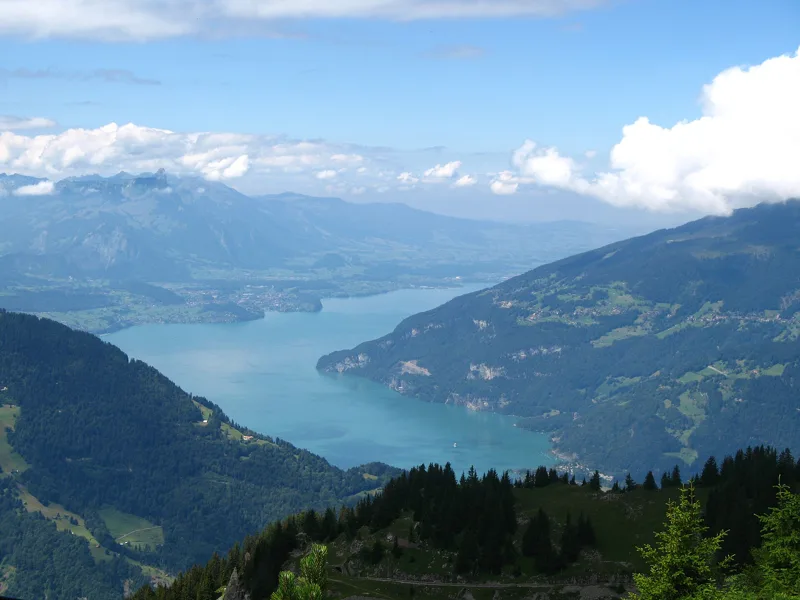 Schynige Platte, loop1 h 55Panoramaweg Schynige Platte6.0kmDistance340mAscent340mDescentTechnical mediumFitness easy. See the hike
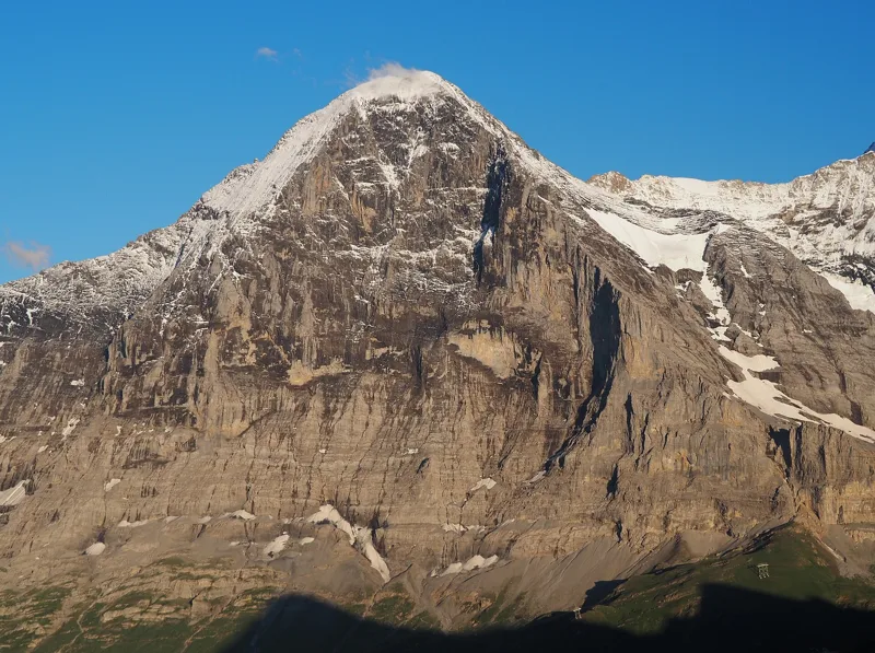 Grindelwald (Eigergletscher) → Grindelwald (Alpiglen)1 h 55Eiger Trail6.0kmDistance100mAscent820mDescentTechnical mediumFitness medium. See the hike
- Lauterbrunnen → Griesalp9 h 00Via Alpina, stage 1222.0kmDistance2,000mAscent1,400mDescentTechnical mediumFitness difficult. Page coming
- Grindelwald → Lauterbrunnen6 h 40Via Alpina, stage 1120.0kmDistance1,150mAscent1,400mDescentTechnical easyFitness difficult. Page coming