
What you can run
34 runs, from the shortest to the longest.
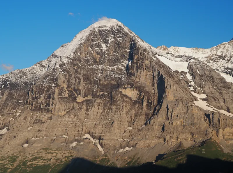
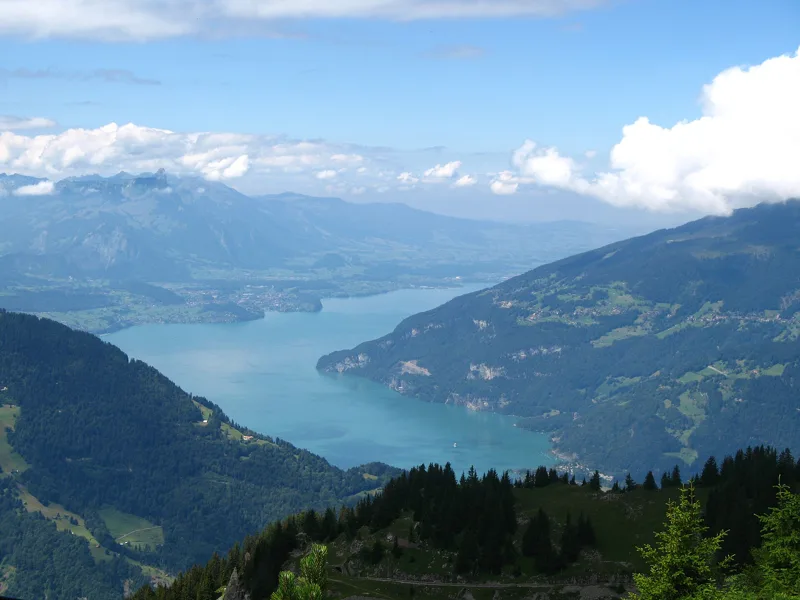
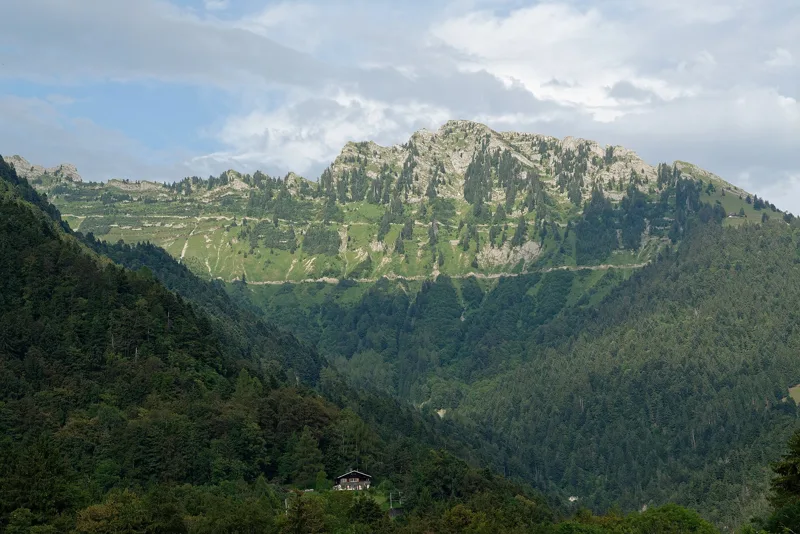
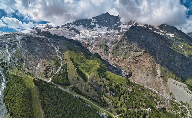
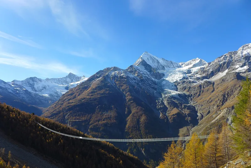
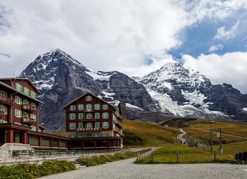
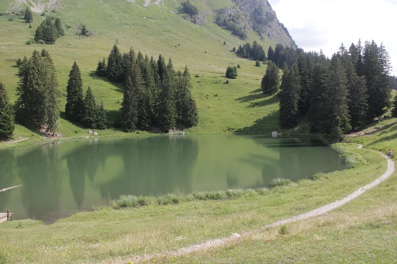
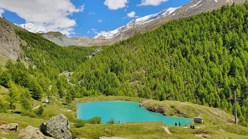
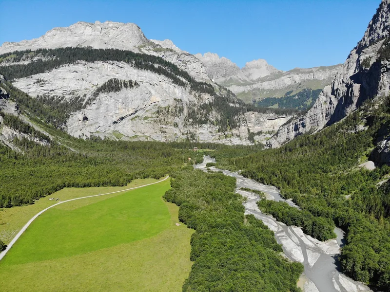
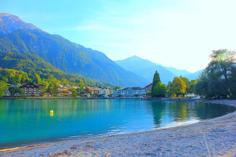
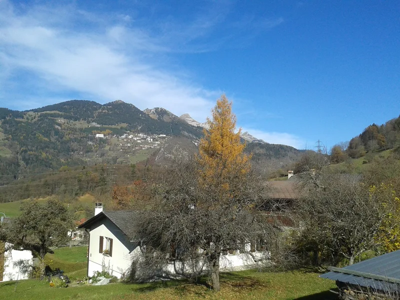
On the profile: the steepest kilometre in yellow (if it climbs at least 100 m), fountains in blue (a fountain can be dry). "Gentle slope": the share of the route under 15% gradient, measured every 100 m along the track, from 34% (Randa Hängebrückenweg) to 93% (Kandersteg → Selden). The latest start comes from the sunset calculated for the starting point, without the mountains: behind a peak, it gets dark earlier.
Training for a race?
Type in its distance and climbing. We give you its km-effort, and the Bivio runs that come closest, to train on.
km-effort is the measure of the International Trail Running Association: 1 km counts as 1, and 100 m of climbing counts as 1.
Train the climbs
Ranked by their steepest kilometre, measured along the track. It is highlighted in yellow on the profile.
Train the descents
km-effort doesn't count the descent. Your thighs do.
Take the train out, take the train back
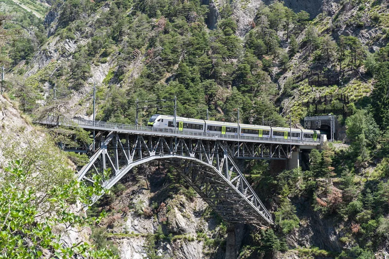
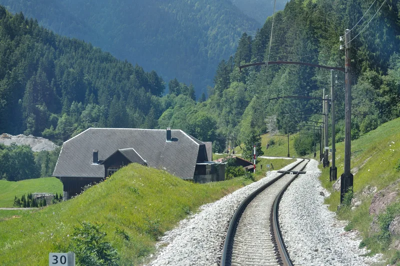
Point-to-point runs, the luxury of running without a car. Where it says so, we checked the last departure of the day against the official timetable.
A lift to skip the climb
A mountain railway or a gondola on the route. Many only run in season: check the timetable first.
Solo or in a group
Phone signal can drop up there and the weather turns fast. Four things in your pack, even for an hour.
- Charged phonewith the map or GPX offline
- Warm jacketand waterproof
- Survival blanketa few grams
- Water and fooda fountain can be dry
Solo
On a demanding route, better not. Otherwise, leave your route and your expected times with someone before you go.
In a group
Send the group the link to the run: everyone gets the profile, the start, the train home and the GPX.
You share the trail
- Call out earlySlow down when you meet or pass a hiker, and stay on the marked trail.
- White-red-whiteMountain trail: sure-footed, no fear of heights, in good shape. Difficulty levels explained
- Cattle firstGo round the herd slowly and never touch a calf. Keep your dog on a short lead.
This weekend
Questions people ask
How is km-effort calculated?
It's the distance in kilometres plus the climb in metres divided by 100, as defined by ITRA. 45 km with 1,500 m of climbing makes 60 km-effort.
Does descent count towards km-effort?
No, only the climb is added: 100 m up equals 1 km-effort. Descents still wear your legs out, so keep something in reserve.
What do I need to run a white-red-white trail?
Sure feet, no fear of heights and good fitness. For kit: sturdy shoes with a grippy sole, clothing for the weather and a map.
Is it OK to run alone in the mountains?
On a demanding route, it's better not to go alone. If you do, leave your route and expected times with someone.
Which number do I call in an emergency?
1414 for Rega, or 112, the international emergency number. You may have no signal in the mountains, so tell someone before you set off.
Where can I find water on the way?
Every route page counts the fountains and water points along the way. Still carry water: a fountain can be dry.