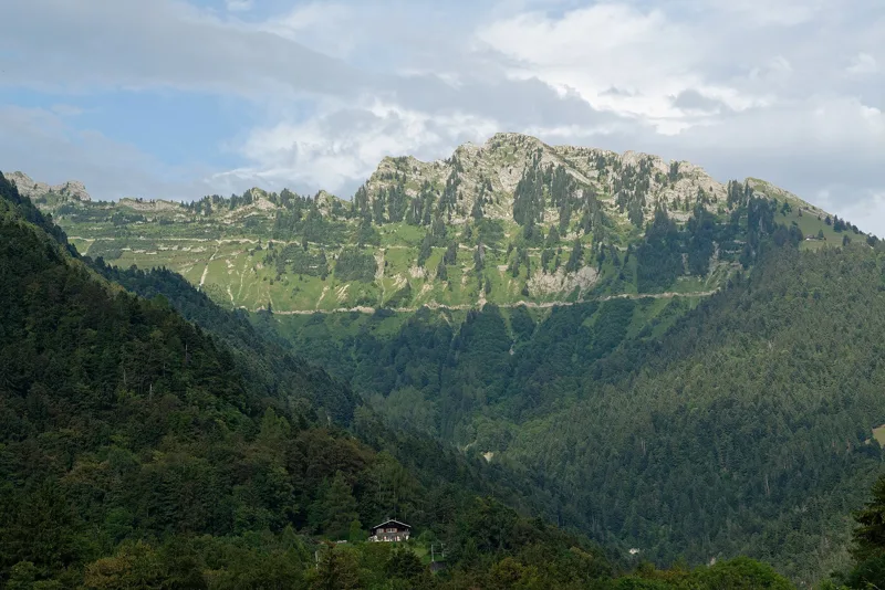
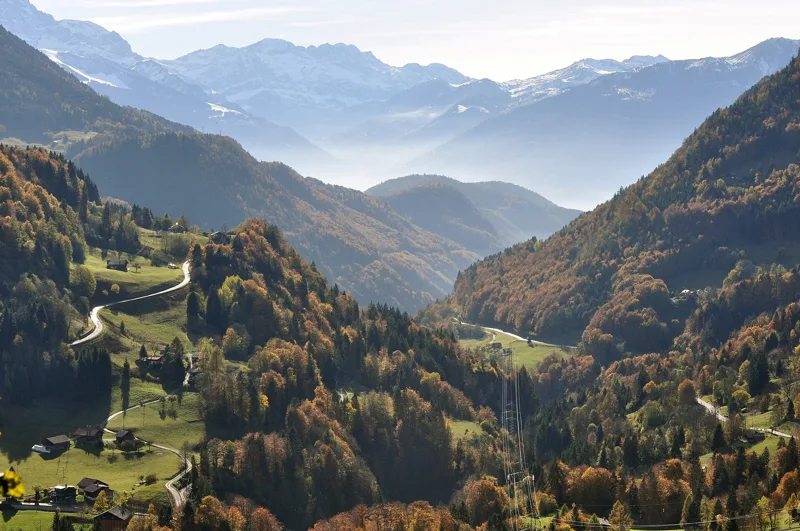
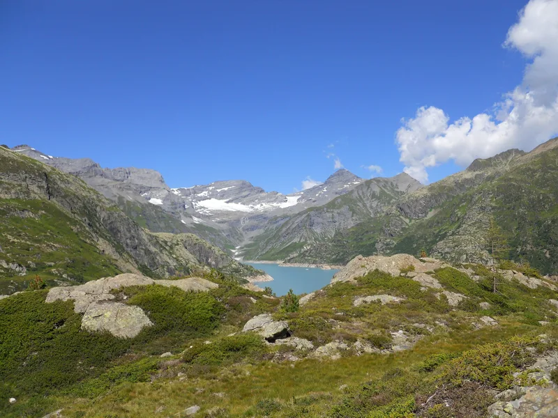
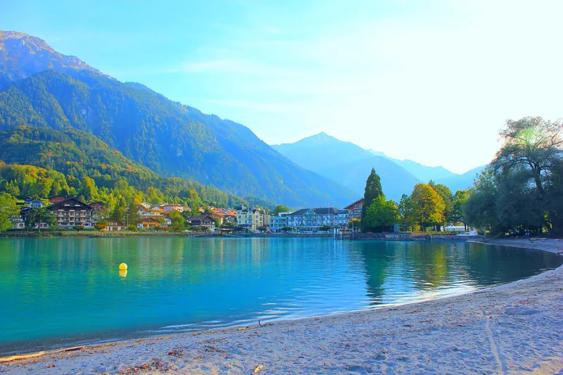
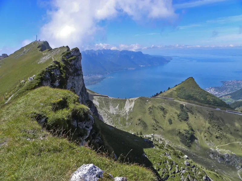
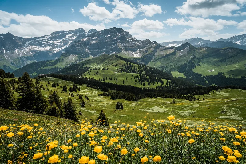
Two questions, and we show you the hikes that suit you. Below: what the trail colours, the difficulty levels and the walking times mean.
Bivio's 34 hikes, sorted by level
Every hike carries two official SwitzerlandMobility levels: technique, which follows the colour of the trail, and fitness, which depends on length, climbing and time. A single figure above the threshold is enough to move up a level.
In Switzerland, the colour of the signs and painted marks tells you what kind of trail you are on. It is about the terrain, not the length.
Hiking trail
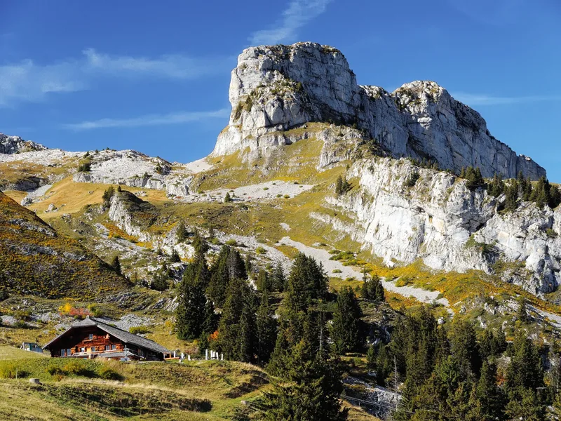
Nothing special required. Steep sections have steps, places where you could fall have a railing, streams are crossed on a footbridge or bridge.
Who for: For everyone, in good shoes.
SAC scaleT1-T2
On Bivio9 hikes
Good shoes
Rain jacket
Mountain trail
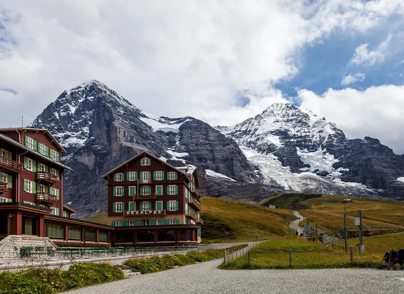
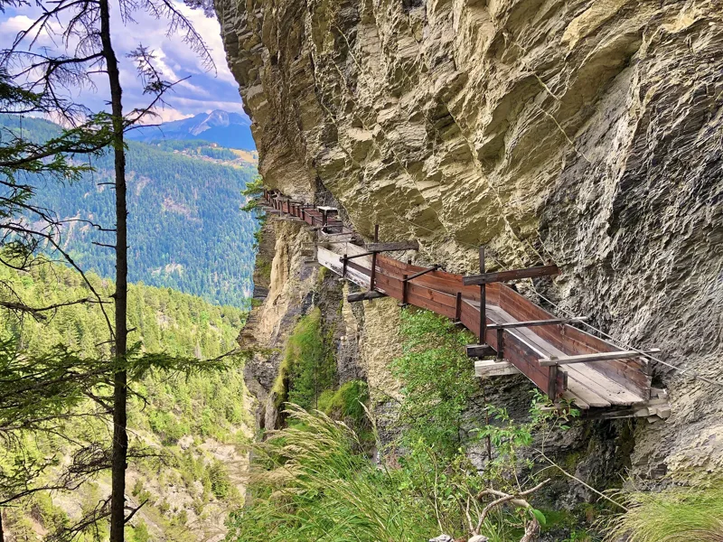
Often steep and narrow, sometimes exposed. Tricky sections have chains or cables.
Who for: Good fitness, sure-footed, no fear of heights, and aware of mountain dangers: falling rocks, slipping, falls, sudden weather changes.
SAC scaleT2-T3
On Bivio25 hikes
Shoes with grippy soles
Clothes for the weather
Topographic map
Alpine route
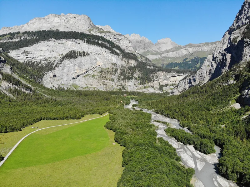
Sometimes no path at all: snowfields, glaciers, scree, short climbing sections, with no guaranteed fixtures.
Who for: Very good fitness, able to use a rope and ice axe, and to handle moves where you need your hands.
SAC scaleT4-T5
On Bivio0 hike
Compass and altimeter
Rope and ice axe
Everything else
T1 to T6, the guidebook scale
In guidebooks you'll see T1, T2… up to T6: that's the Swiss Alpine Club scale. It assumes good weather, dry ground and no snow; in rain or snow, the same trail gets harder. It often differs from the trail colour.
T1Hiking
T2Mountain hiking
T3Demanding mountain hiking
T4Alpine hiking
T5Demanding alpine hiking
T6Difficult alpine hiking
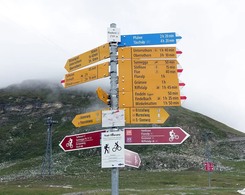
The time on the yellow signs
It's a walking time, breaks not included, worked out with a formula used across Switzerland since 2006. It knows neither the state of the trail nor your fitness. As a rough guide: 4 km/h on the flat, plus a quarter of an hour per 100 m up or per 200 m down.
Questions people ask
Who are white-red-white mountain trails for?
For people who are fit, sure-footed and fine with heights. The trail can be steep, narrow and exposed in places, with chains on the tricky sections.
What does "medium fitness" mean on a hike page?
That the stage is up to 20 km, 900 m of climbing or 5 hours of walking, with at least one of these above the easy limits (12 km, 400 m, 3 hours).
Do the times on Swiss signposts include breaks?
No. They're walking time only, based on distance and gradient. Add your breaks, your own pace and the trail conditions.
What does T3 mean?
It's a grade on the Swiss Alpine Club scale: a path that isn't always visible, steep ground, scree, exposed spots sometimes fitted with cables or chains. You need to be sure-footed and have some mountain experience.
Is a yellow trail OK for kids?
Yellow trails need no special skills, but distance and climb matter too: check the fitness grade and the walking time before you set off.
BobYour hiking guide. Hikes, nature and Swiss mountains.
Bob relies on the site's data (SwitzerlandMobility, MeteoSwiss, official timetable) and can be wrong. On the ground, the signposts come first. Emergency: 1414 (Rega) or 112.