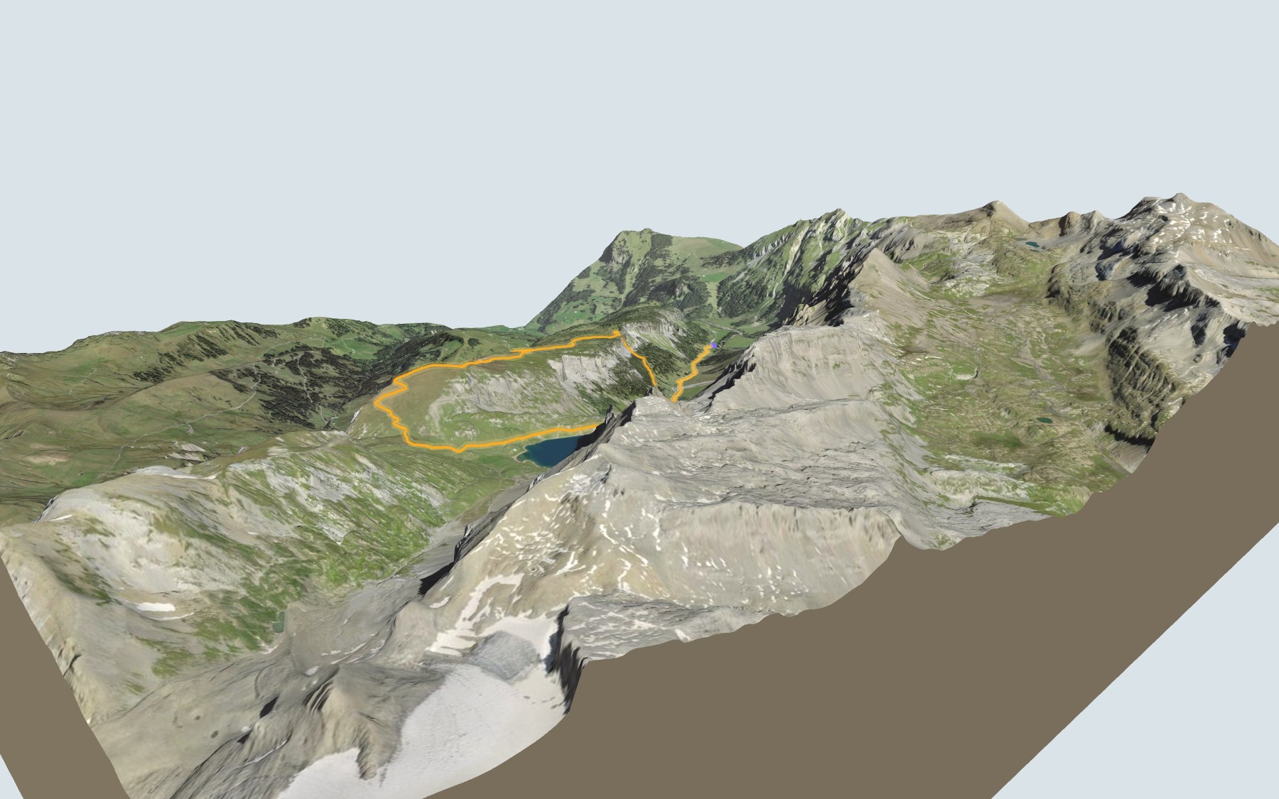

Around the Iffigsee via the Iffighore
A loop at the head of the Iffigtal valley, above Lenk: you start at Iffigenalp, climb over the Hoberg to the Iffighore, the highest point of the walk, then drop down to the Iffigsee lake and come back along the valley floor. SwitzerlandMobility gives 4 h 25 of walking time and rates the loop medium for both fitness and technique.
The first half climbs up to the summit; the second half comes back down past the lake. The whole trail lies inside the protected Gälte – Iffigen landscape, listed in the Federal Inventory of Landscapes. The elevation profile shows you where it gets steepest.
The same protected landscape also takes in the Lauenensee, which you pass on the Höhi-Wispile-Lauenensee hike. And to walk into Lenk, there is the Adelboden → Lenk stage.
Start and finish are in the same place, the Lenk, Iffigenalp bus stop, next to the Berghaus Iffigenalp. Check the next buses and plan your day before you set off. Looking for more in the area? See all hikes in the Bernese Oberland.
The story of the trail
What happened where you are going to walk, chapter by chapter.
A loop at the head of the Iffigtal
You start at 1,584 m at Iffigenalp and finish there too. In between: 10.9 km, plus 880 m of climbing and the same amount of descent according to SwitzerlandMobility, which gives 4 h 25 of walking time in either direction. The highest point, at 2,379 m, is the summit of the Iffighore.
At the start there's the Berghaus Iffigenalp. The only other place to eat is at Groppi, at 1,751 m, on the way back, shortly before the finish, so bring something to drink. On the way, follow the signposts and check the conditions on the day.
Over the Hoberg to the Iffighore
The path leaves Iffigenalp, passes by the Iffigbach stream and close to Groppi, then climbs through the Hobergtäli and past the Chesseli. A little higher up it passes close to Ober Hoberg. On the back of the Hoberg grows an open larch and Swiss stone pine forest, a rarity in the northern Alps, where the treeline has been barely touched by people.
Plenty of edelweiss grow beside the path just past the last birches and stone pines of the Hoberg: stay on the trail and leave the flowers alone. The path then reaches the summit of the Iffighore, halfway round. From up there, the view stretches over the Simmental and the Saanenland.
A lake that drains underground
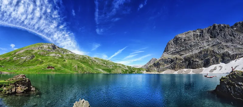
From the Iffighore, the path drops through the Heideloch gully to the shore of the Iffigsee. It is one of the karst lakes of the area: it drains underground. The two streams of the Iffigtal are fed by karst springs and do not flow all year round.
Underfoot, wherever bedrock shows, you walk mostly on two layers of the Wildhorn nappe: Schrattenkalk limestone from the Early Cretaceous, and the sandstone and marl of the Tierberg Member, from the Eocene. Elsewhere you walk on alluvium, moraine, rockfall debris, scree and torrent deposits. Schrattenkalk takes its name from "Schratte", the German word for limestone pavement: it forms pale cliffs or surfaces carved by karst. The Tierberg Member is named after the Tierberg, in Lenk.
Herders, Roman roof tiles and the Rawil
Pollen and plant remains in the sediments of the Iffigsee show that animals were already grazed around the lake from the 5th millennium BC. Roman roof tiles found at the Iffigsee suggest a building, perhaps a shelter or a sanctuary. At Iffigenalp there are remains too: sections of road and a lime kiln.
The Rawil Pass, leading to Valais, was already used for north-south traffic in antiquity. Until the Lötschberg railway opened in 1913, muleteers crossed it to bring in wine and sell cattle. A road tunnel under the Rawil, with its north portal at Iffigenalp, was planned and then dropped in 1986 by a federal decree.
Back along the valley floor
After the lake, the path goes back through the Hobergtäli, passes near the Egge, then drops to Groppi, and via Schwand-Rei back to Iffigenalp. This return through the Iffigtal is rough as far as Groppi, covered with loose stones: take hiking poles. The alpine columbine grows in large stands in the Iffigtal.
At Iffigenalp, the bus takes you down to Lenk. The bus leaves from Lenk station and only runs at certain times of the year; from the Hubelmatte stop the road is one-way, with uphill and downhill traffic taking turns depending on the time. Further down this page: the next departures.
In pictures
Summer at the Iffigsee, a lake near Lenk in the canton of Bern
The Iffigsee from the air, in the Bernese Oberland
The Iffigsee in early June, still partly frozen
Iffigenalp and the Iffigbach, at the head of the Iffigtal
The Berghaus Iffigenalp, at the end of the road and the start of the loop
The Iffigenalp pastures, looking south-west
The next few days
MeteoSwiss local forecast, updated every hour
Reading the MeteoSwiss forecast…
My day
Pick your day and start time: everything updates.
- Arrival at Lenk (Iffigenalp)
- 12:55 4 h 25 of walking without breaks, starting at 08:30
The trail, kilometre by kilometre
Places are listed under the kilometre where you pass them. Drag along the profile: the marker moves on the 3D view too.
- under 10 %
- 10 to 20 %
- 20 to 30 %
- over 30 %
- fountain or water point
- toilets
Around the trail (250 m, OpenStreetMap, extract of 25/10/2026): 2 restaurants, 0 cafés, 1 fountain or water point, 1 toilet. Estimated time: the official walking time spread by effort (1 km on the flat counts as 100 m of climbing), start time set in “My day”.
Getting there and back
Back by public transport from the Lenk, Iffigenalp stop
Next departures from Lenk, IffigenalpReading the official timetable…
By car
Careful, this is one way: public transport back arrives in Lenk, Iffigenalp, not in Lenk (Iffigenalp). Plan to get back to your car by public transport, or park at the finish and take the train to the start.
- Car park, Iffigenstrassefree140 m from the start
- Car park open-air, Iffigenstrasse30 m from the start
Public car parks within 600 m of the start, according to OpenStreetMap: prices and number of spaces may have changed, check the signs on site.
Questions people ask
How long is the hike from Lenk (Iffigenalp) to the finish (Lenk (Iffigenalp))?
4 h 25 of walking according to SwitzerlandMobility, in this direction, not counting breaks. The other way: 4 h 25.
Is it hard?
SwitzerlandMobility rates this stage: fitness medium, technique medium. It is 880 m of climbing over 10.9 km.
Can I get back by public transport?
Yes. The Lenk, Iffigenalp stop is at the finish. The next departures show live under “Getting there and back”.
Where can I eat on the way?
3 restaurants, cafés and huts within 250 m of the trail, including Berghaus Iffigenalp, Iffigenalp, Groppi. Where they are and their opening hours: below the profile.
Is there water and are there toilets on the way?
1 fountain or water point and 1 toilet within 250 m of the trail (survey of 25/10/2026).
Can I download the track?
Yes, as a GPX file for your watch or map app: “Download the track” button at the top of the page.
More hikes within 10 km
Official SwitzerlandMobility stages that pass within 10 km of this trail. Each card says whether its page is already up.
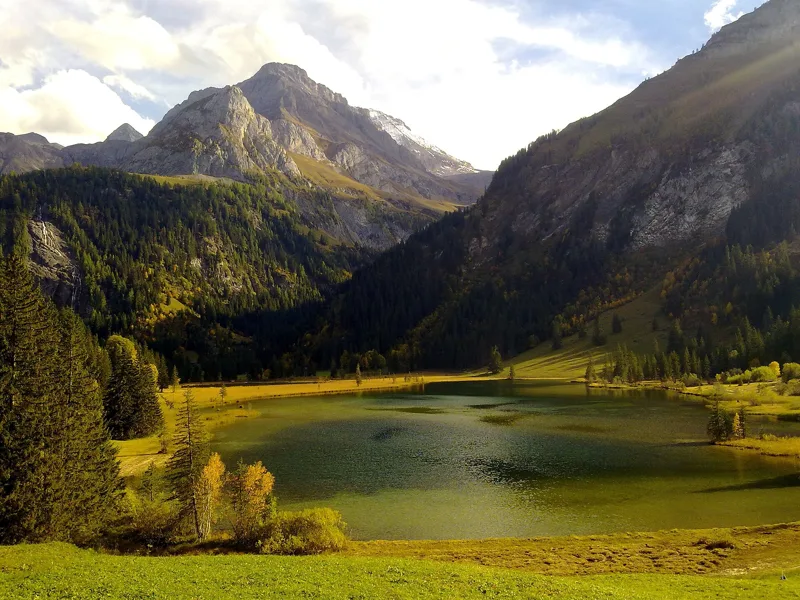 Station Höhi Wispile → Lauenen4 h 00Höhi-Wispile-Lauenensee-Weg14.0kmDistance300mAscent950mDescentTechnical mediumFitness difficult. See the hike
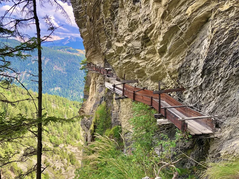 Tseuzier, Barrage → Arbaz, Etang-Long3 h 10Grand Bisse d'Ayent12.0kmDistance150mAscent620mDescentTechnical mediumFitness medium. See the hike
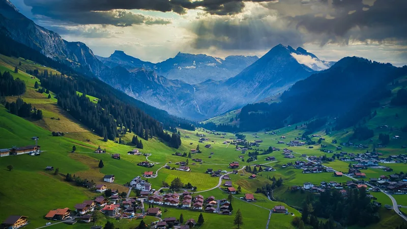 Adelboden → Lenk4 h 30Via Alpina, stage 1514.0kmDistance700mAscent1,000mDescentTechnical easyFitness difficult. See the hike
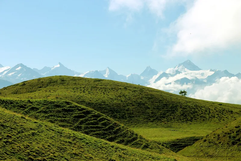 Crans-Montana, Cry-d'Er → Crans-Montana, Aminona4 h 30Sentier Panorama 400014.0kmDistance540mAscent1,300mDescentTechnical mediumFitness difficult. See the hike
- Lenk, Simmenfälle → Lenk, Iffigenalp3 h 20Siebenbrunnen-Weg8.0kmDistance820mAscent340mDescentTechnical mediumFitness medium. Page coming
- Lenk, Betelberg, loop2 h 15Höhenrundweg Gryden7.0kmDistance320mAscent320mDescentTechnical mediumFitness easy. Page coming