
Hiking around the Argentine
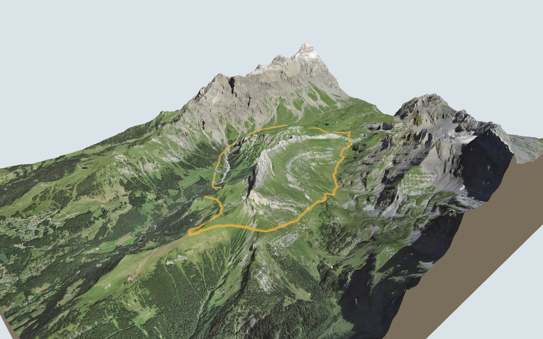
A loop that starts and ends in Solalex, below the Miroir d'Argentine, one of the region's exceptional geological folds. You climb to the Anzeindaz plateau, cross the Col des Essets, then come back via Sur Champ and the Roc du Châtelet. SwitzerlandMobility rates it difficult for fitness and medium for technique.
The first climb takes you from Solalex up to the Anzeindaz plateau, past the Refuge de la Tour d'Anzeindaz, the Refuge Giacomini and the Cabane Barraud. The path carries on to the Col des Essets, close to the highest point of the loop. The elevation profile also shows the second climb, after Les Etroits, up to Sur Champ.
The whole loop lies inside the Grand Muveran federal game reserve and inside a landscape of the Federal Inventory of Landscapes (BLN). That same landscape also includes the gypsum pyramids of the Col de la Croix; the Gypsum Pyramids Trail goes over that pass.
Back in Solalex, the Café Restaurant de Solalex and the Miroir d'Argentine are right at the start, next to the Gryon, Solalex bus stop. Check the next departures and plan your day before you set off. Looking for more in the area? All hikes in the Vaud Alps.
The story of the trail
What happened where you are going to walk, chapter by chapter.
A loop around the Argentine
You start in Solalex, at 1,458 m, and finish there too. In between: 13.4 km, 1,050 m of climbing and 1,050 m of descent according to SwitzerlandMobility. The highest point, at 2,052 m, is close to the Col des Essets. SwitzerlandMobility gives 5 h 15 of walking in this direction and 5 h 10 the other way round.
The path first climbs to the Anzeindaz plateau, where three huts follow one another just off the path: the Refuge de la Tour d'Anzeindaz, the Refuge Giacomini, then the Cabane Barraud. It then reaches the Col des Essets and drops via Boëllaire and Plan des Bouis to Les Etroits. On the way, follow the signposts and check the conditions on the day.
Anzeindaz, the Bex mountain pasture
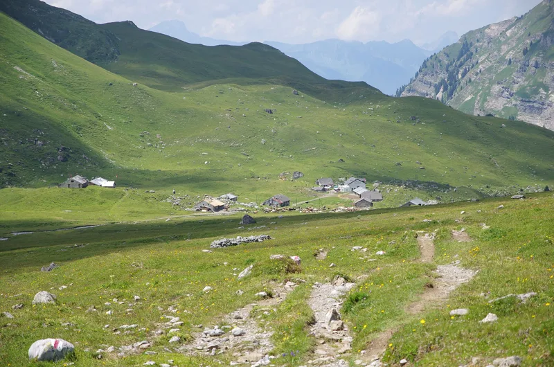
Anzeindaz, today also called Anzeinde, is a vast mountain pasture above Solalex, in the municipality of Bex. Grazing by the people of Bex is recorded there from the 13th century. The inhabitants of Ollon held a quarter of the summer grazing rights, which led to a lawsuit in 1726. Ollon sold its share to Gryon in 1818, and Gryon passed it on to Bex around 1880. The Swiss Alpine Club built the Cabane Barraud in 1933.
The BLN describes the Anzeinde plateau, with its 1,000 ha, as the largest pasture in the canton of Vaud and one of the largest in Switzerland. On the Bex alpine estate, the chalets of Solalex and Anzeinde are built of masonry, and an alpine farming cooperative took over from the farming families in 1976. The Diablerets section of the Swiss Alpine Club runs the Cabane Barraud as an unstaffed hut, open all year round, booking required.
The Miroir, an old seabed
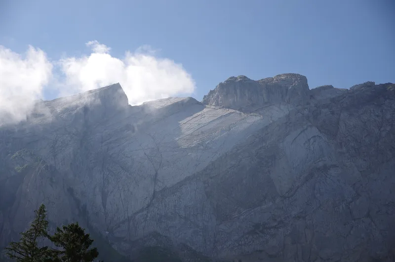
Seen from Solalex, the Miroir d'Argentine is an old seabed from the Cretaceous, tilted up and bent by the intense folding of the whole limestone Alps. Its shape looks like the layers of an onion. These bulging, plunging layers are part of the front of the Morcles nappe.
At the Col des Essets you walk on Tertiary rocks; a limestone full of nummulite fossils, single-celled micro-organisms, also dates from that period. The hollow of Anzeinde comes from softer marl layers, which resist erosion less well.
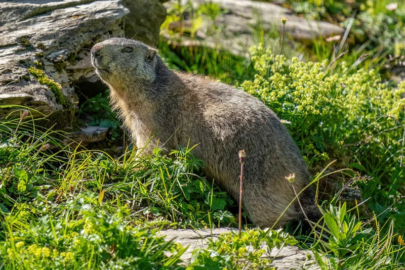
Inside the Grand Muveran game reserve
The whole route lies inside the Grand Muveran federal game reserve, partly in a zone of full protection and partly in a zone of partial protection. The reserve has two aims: to keep the area as a varied habitat for wild mammals and birds, and to limit the number of sheep.
The landscape is home to a very rich alpine flora, with several rare species endemic to the western Alps, and a floodplain of national importance along the Avançon d'Anzeinde, at Solalex. On its western side you also find the adder, an endangered species, and the rock partridge.
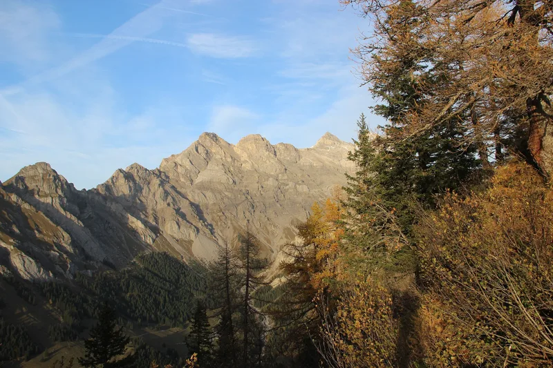
Via Sur Champ, back to Solalex
After Les Etroits, the path climbs again to Sur Champ, goes via La Motte and the Roc du Châtelet, then drops via Le Mérouet and Plan de la Roche back to Solalex.
In Solalex, the Café Restaurant de Solalex and the Miroir d'Argentine are right at the start, and the bus leaves from the Gryon, Solalex stop. The rest of the page shows the next departures.
In pictures
The Argentine Mirror, Bex, Vaud
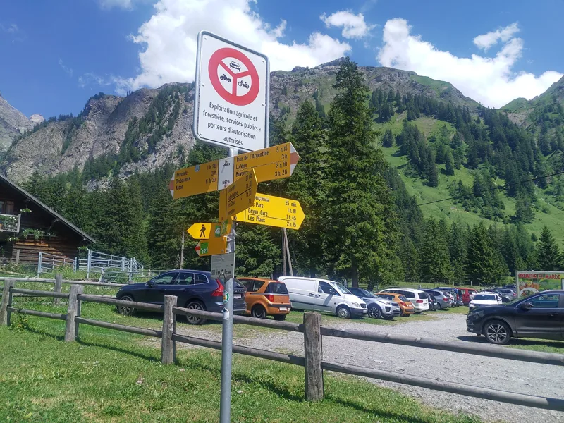
Signpost “Solalex”
Anzeindaz mountain pasture, Bex, Vaud
Les Diablerets seen near the Col des Essets
Rocks on the Arête de l’Argentine
Wild marmot in the Grand Muveran game reserve
The Lion d’Argentine, Tête à Pierre Grept and Grand Muveran
The Avançon d’Anzeinde
Les Diablerets seen from the Roc du Châtelet
The Argentine mountains, Bex, Vaud
The next few days
MeteoSwiss local forecast, updated every hour
Reading the MeteoSwiss forecast…
My day
Pick your day and start time: everything updates.
- Arrival at Solalex
- 13:45 5 h 15 of walking without breaks, starting at 08:30
The trail, kilometre by kilometre
Places are listed under the kilometre where you pass them. Drag along the profile: the marker moves on the 3D view too.
- under 10 %
- 10 to 20 %
- 20 to 30 %
- over 30 %
- fountain or water point
- toilets
Around the trail (250 m, OpenStreetMap, extract of 25/10/2026): 2 restaurants, 0 cafés, 2 fountains and water points, 2 toilets. Estimated time: the official walking time spread by effort (1 km on the flat counts as 100 m of climbing), start time set in “My day”.
Getting there and back
Back by public transport from the Gryon, Solalex stop
Next departures from Gryon, SolalexReading the official timetable…
By car
Careful, this is one way: public transport back arrives in Gryon, Solalex, not in Solalex. Plan to get back to your car by public transport, or park at the finish and take the train to the start.
Public car parks within 600 m of the start, according to OpenStreetMap: prices and number of spaces may have changed, check the signs on site.
Questions people ask
How long is the hike from Solalex to the finish (Solalex)?
5 h 15 of walking according to SwitzerlandMobility, in this direction, not counting breaks. The other way: 5 h 10.
Is it hard?
SwitzerlandMobility rates this stage: fitness difficult, technique medium. It is 1,050 m of climbing over 13.4 km.
Can I get back by public transport?
Yes. The Gryon, Solalex stop is at the finish. The next departures show live under “Getting there and back”.
Where can I eat on the way?
5 restaurants, cafés and huts within 250 m of the trail, including Café Restaurant de Solalex, Miroir d'Argentine, Refuge de la Tour d'Anzeindaz. Where they are and their opening hours: below the profile.
Is there water and are there toilets on the way?
2 fountains and water points and 2 toilets within 250 m of the trail (survey of 25/10/2026).
Can I download the track?
Yes, as a GPX file for your watch or map app: “Download the track” button at the top of the page.
More hikes within 10 km
Official SwitzerlandMobility stages that pass within 10 km of this trail. Each card says whether its page is already up.
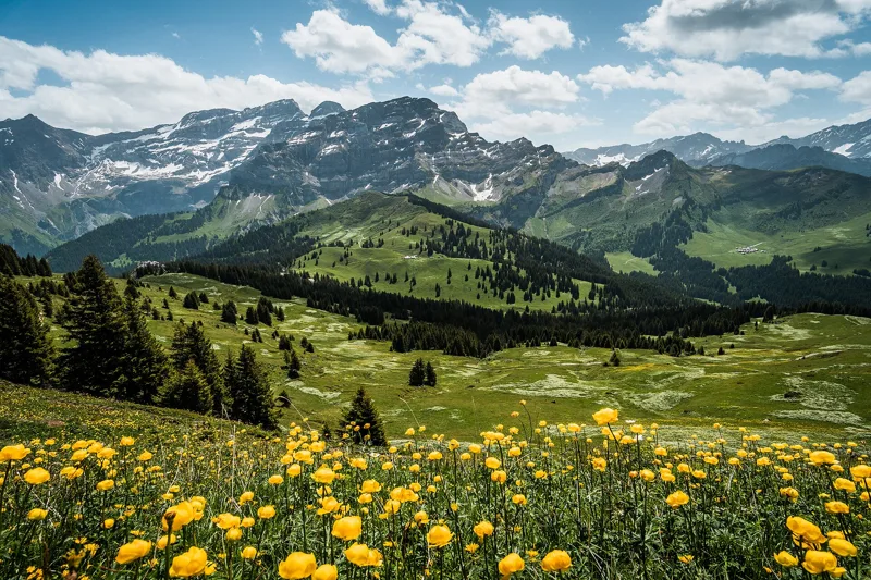 Les Diablerets → Villars-sur-Ollon6 h 10Tour des Alpes Vaudoises, stage 618.0kmDistance1,100mAscent1,000mDescentTechnical mediumFitness difficult. See the hike
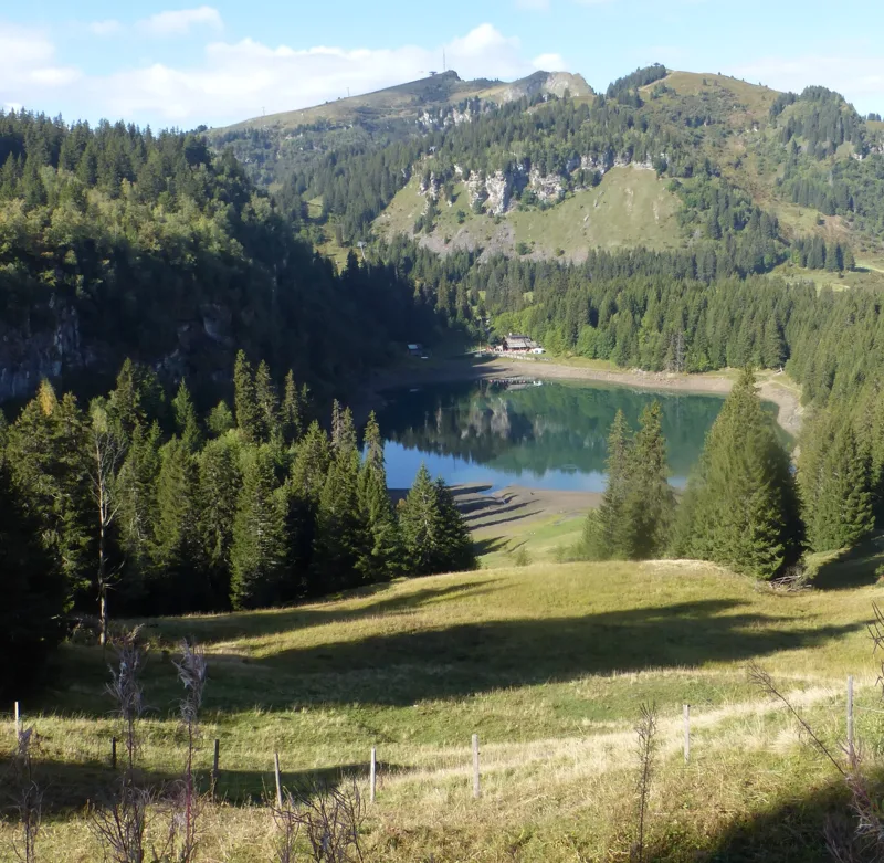 Bretaye, loop3 h 35Chemin des pyramides de Gypse12.0kmDistance540mAscent540mDescentTechnical mediumFitness medium. See the hike
 Plambuit → Bex3 h 35Sentier du Sel13.0kmDistance360mAscent680mDescentTechnical easyFitness medium. See the hike
 Col du Pillon, loop3 h 10Tour de La Palette9.0kmDistance560mAscent560mDescentTechnical mediumFitness medium. See the hike
 Le Sépey, loop2 h 20Sentier des ponts historiques du Sépey7.0kmDistance400mAscent400mDescentTechnical easyFitness medium. See the hike
- Villars-sur-Ollon → Gryon6 h 45Tour des Alpes Vaudoises, stage 722.0kmDistance1,000mAscent1,100mDescentTechnical mediumFitness difficult. Page coming